Cringletie

Settlement in Peeblesshire

Scotland

Cringletie

Milestone, A703 The Peeblesshire mileposts on the Edinburgh road have been cleaned up and painted.  Distance (20 miles and 7 furlongs) to the GPO which was situated at the eastern end of Princes Street and was the meeting point of the A7 and A8 and the start of the Great North Road (A1) to London.
Milestone, A703 Credit: Richard Webb

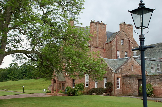
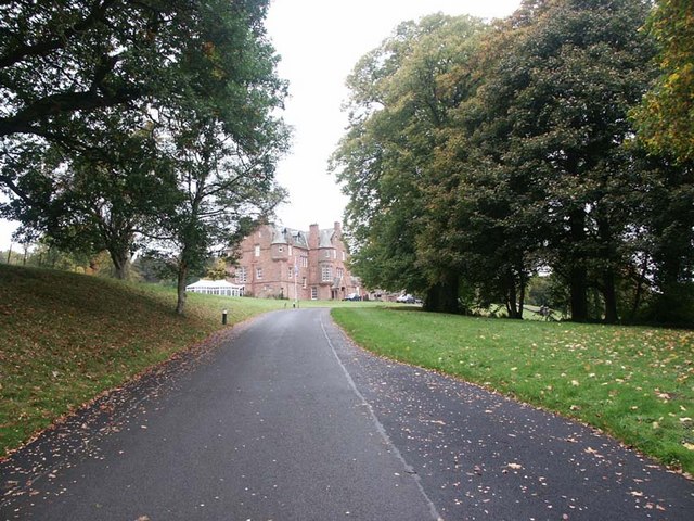
Cringletie is a picturesque country house located in Peeblesshire, Scotland. Situated just outside the town of Peebles, Cringletie offers a tranquil and idyllic retreat for visitors. The estate is nestled within 28 acres of stunning woodland, providing a peaceful and secluded atmosphere.

The main building of Cringletie is a magnificent baronial mansion, which dates back to the early 19th century. The house boasts traditional Scottish architecture and is surrounded by beautifully manicured gardens, offering breathtaking views of the surrounding countryside. The interior of Cringletie is equally impressive, with elegant and tastefully decorated rooms, blending modern comfort with classic charm.

Cringletie is renowned for its hospitality, offering guests a warm and welcoming experience. The establishment features a range of luxurious amenities, including spacious guest rooms, a fine dining restaurant, and a cozy lounge area with a roaring open fire. Additionally, Cringletie offers various activities and facilities to keep guests entertained, such as tennis courts, croquet lawn, and a delightful woodland walk.

The location of Cringletie is perfect for exploring the scenic Scottish Borders region. Visitors can enjoy outdoor pursuits like hiking, cycling, and fishing, as well as visit nearby attractions such as Peebles Castle and Neidpath Castle. The town of Peebles itself is a quaint and charming destination, offering a range of shops, cafes, and restaurants.

Overall, Cringletie provides a luxurious and tranquil escape for those seeking a peaceful retreat in the heart of the Scottish countryside. With its stunning surroundings, excellent amenities, and warm hospitality, Cringletie is a perfect destination for a relaxing getaway.

If you have any feedback on the listing, please let us know in the comments section below.
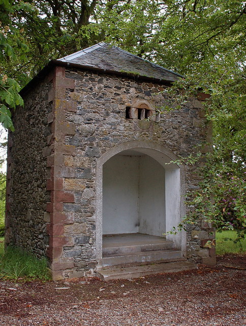
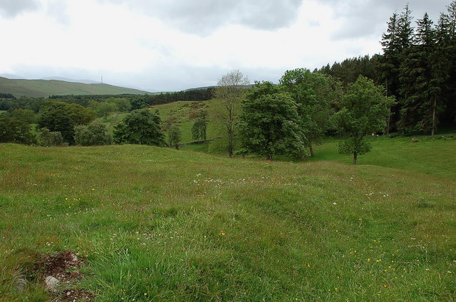
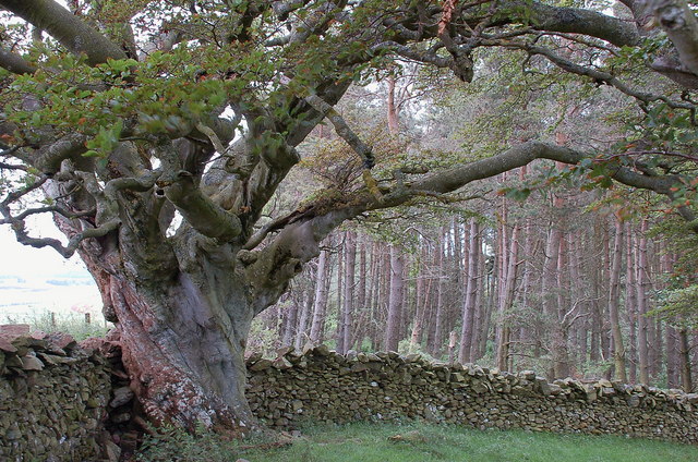
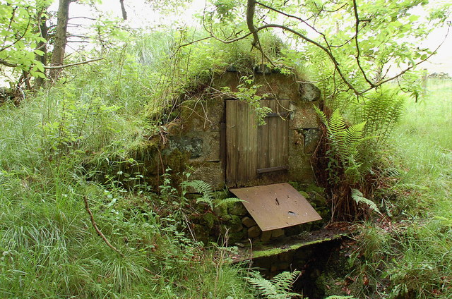
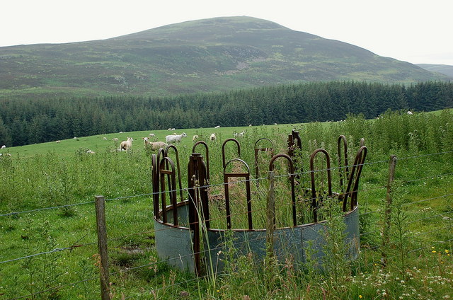
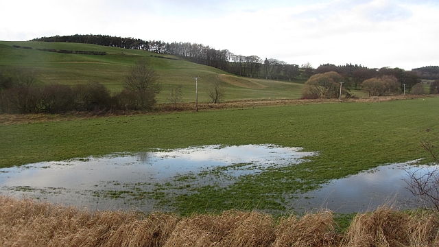
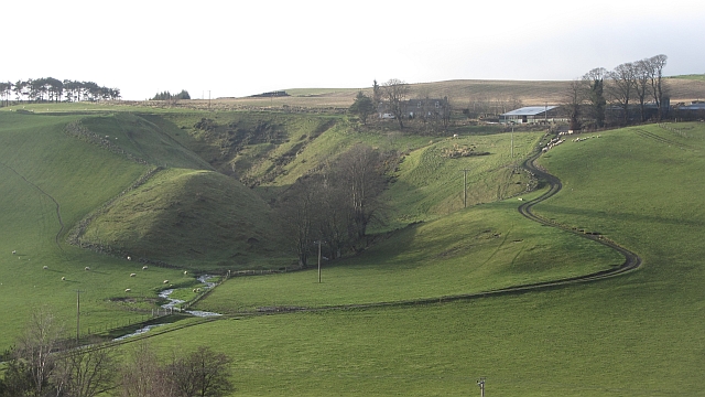
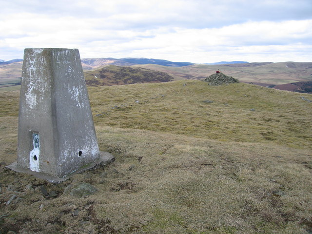
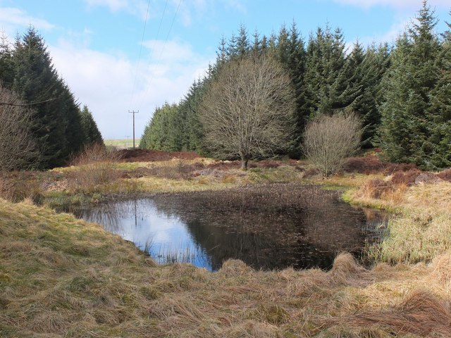
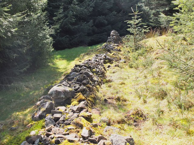
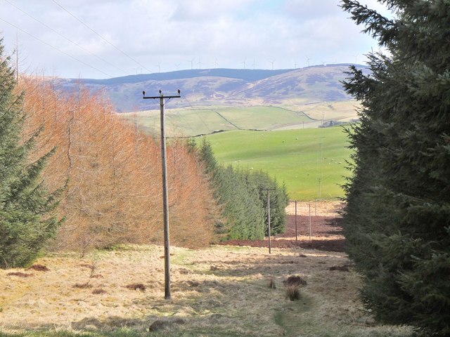
Cringletie Images

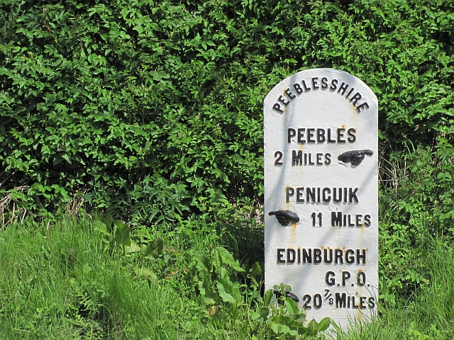
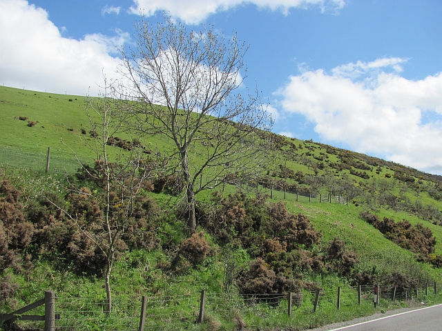
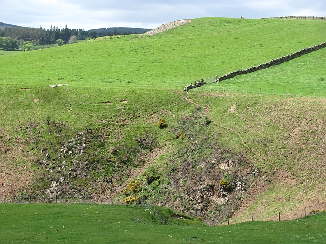
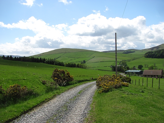
Images are sourced within 2km of 55.683347/-3.226179 or Grid Reference NT2344. Thanks to Geograph Open Source API. All images are credited.

Milestone, A703 The Peeblesshire mileposts on the Edinburgh road have been cleaned up and painted.  Distance (20 miles and 7 furlongs) to the GPO which was situated at the eastern end of Princes Street and was the meeting point of the A7 and A8 and the start of the Great North Road (A1) to London.
Milestone, A703
The Peeblesshire mileposts on the Edinburgh road have been cleaned up and painted. Distance (20 miles and 7 furlongs) to the GPO which was situated at the eastern end of Princes Street and was the meeting point of the A7 and A8 and the start of the Great North Road (A1) to London.
Unhealthy whins The gorse above the A703 is not looking healthy. Probably an effect of the deep frosts experienced here at the end of 2010
Unhealthy whins
The gorse above the A703 is not looking healthy. Probably an effect of the deep frosts experienced here at the end of 2010
Windylaws Burn Steep ground above the Windylaws Burn.
Windylaws Burn
Steep ground above the Windylaws Burn.
Road, Winkston Hill Road up to Heathpool Common
Road, Winkston Hill
Road up to Heathpool Common
Cringletie House Hotel A country house hotel in a parkland setting between Eddleston and Peebles.
Cringletie House Hotel
A country house hotel in a parkland setting between Eddleston and Peebles.
Pavilion, Cringletie A pavilion or summerhouse in the grounds near the hotel, surmounted by a small dovecot.
Pavilion, Cringletie
A pavilion or summerhouse in the grounds near the hotel, surmounted by a small dovecot.
Possible hill fort near Cringletie An earth bank on an elevated open site near Black Wood might indicate the remains of a hill fort or similar antiquity.
Possible hill fort near Cringletie
An earth bank on an elevated open site near Black Wood might indicate the remains of a hill fort or similar antiquity.
Aged beech tree, Cringletie A tree with many summers behind it, but still in leaf.
Aged beech tree, Cringletie
A tree with many summers behind it, but still in leaf.
Old water supply An old water cistern, probably used by Cringletie Farm, now reverting to nature.
Old water supply
An old water cistern, probably used by Cringletie Farm, now reverting to nature.
Sheep pasture and White Meldon Sheep on an improved area of grassland on Green Knowe.
Sheep pasture and White Meldon
Sheep on an improved area of grassland on Green Knowe.
Flooded ground, Eddleston
Wormiston Dean A steep sided ravine above the Eddleston Water. The name suggests that it was once wooded.
Wormiston Dean
A steep sided ravine above the Eddleston Water. The name suggests that it was once wooded.
Winkston farm from Hamilton Hill The junction of the minor road to Rosetta and the A701 with Winkston to the left and Mailingsland along the track.
Winkston farm from Hamilton Hill
The junction of the minor road to Rosetta and the A701 with Winkston to the left and Mailingsland along the track.
Gate on Hamilton Hill Gate at a path junction with the track contouring the E side of Hamilton Hill, with houses at the northern edge of Peebles below and Ven Law in the background.
Gate on Hamilton Hill
Gate at a path junction with the track contouring the E side of Hamilton Hill, with houses at the northern edge of Peebles below and Ven Law in the background.
White Meldon Straight up from road on good and clear morning.
Name: White Meldon
Hill number: 1821
Height: 427m / 1401ft
Area: 28A: Firth of Forth to the River Tweed
Class: Ma
Grid ref: NT 21935 42839
Summit feature: rock 3m SW of trig point
Drop: 159m
Col: 268m  NT220451
White Meldon
Straight up from road on good and clear morning. Name: White Meldon Hill number: 1821 Height: 427m / 1401ft Area: 28A: Firth of Forth to the River Tweed Class: Ma Grid ref: NT 21935 42839 Summit feature: rock 3m SW of trig point Drop: 159m Col: 268m NT220451
Pond in Nether Stewarton forest A pond situated at the junction of a forest ride and a forest track west of the Old Post Road.
Pond in Nether Stewarton forest
A pond situated at the junction of a forest ride and a forest track west of the Old Post Road.
Old wall, Nether Stewarton forest Part of a short length of old wall marked on the 1:25,000 map, possibly once part of a field boundary.
Old wall, Nether Stewarton forest
Part of a short length of old wall marked on the 1:25,000 map, possibly once part of a field boundary.
Power  line in forest ride, Nether Stewarton A path along the ride joins the Old Post Road below. Turbines of the Bowbeat wind farm are on the skyline.
Power line in forest ride, Nether Stewarton
A path along the ride joins the Old Post Road below. Turbines of the Bowbeat wind farm are on the skyline.
Show me another place!

Cringletie is located at Grid Ref: NT2344 (Lat: 55.683347, Lng: -3.226179)

Unitary Authority: The Scottish Borders

Police Authority: The Lothians and Scottish Borders

What 3 Words

///itself.perfumed.amused. Near Peebles, Scottish Borders

Nearby Locations

Black Wood Cringletie

Related Wikis

Cringletie

Cringletie is a Scottish Baronial house by the Eddleston Water, around 3 kilometres (1.9 mi) south of Eddleston in the Scottish Borders area of Scotland...

Redscarhead

Redscarhead is a village in the Scottish Borders area of Scotland, off the A703, by the Eddleston Water, and close to Cringletie. In the village is a memorial...

White Meldon

White Meldon is a prehistoric site, a hillfort near the village of Lyne and about 4 miles (6 km) west of Peebles, in the Scottish Borders, Scotland. It...

Milkieston Rings

Milkieston Rings is a prehistoric site, a hillfort near the village of Eddleston and about 3 miles (5 km) north of Peebles, in the Scottish Borders, Scotland...

Nearby Amenities

Located within 500m of 55.683347,-3.226179
Power: pole
Lat/Long: 55.6869373/-3.2295646
Power: pole
Lat/Long: 55.6862658/-3.2294291
Power: pole
Lat/Long: 55.6855947/-3.2293035
Power: pole
Lat/Long: 55.6848907/-3.2291762
Power: pole
Lat/Long: 55.6842308/-3.2290567
Power: pole
Lat/Long: 55.6835595/-3.2289494
Power: pole
Lat/Long: 55.6828624/-3.2288333
Power: pole
Lat/Long: 55.6822361/-3.2287095
Power: pole
Lat/Long: 55.680839/-3.2284559
Power: pole
Lat/Long: 55.6801389/-3.228352
Power: pole
Lat/Long: 55.6794597/-3.2282511
Power: pole
Lat/Long: 55.6794455/-3.2279365
Power: pole
Lat/Long: 55.6800625/-3.2280438
Power: pole
Lat/Long: 55.6830173/-3.2285641
Power: pole
Lat/Long: 55.684899/-3.2288945
Power: pole
Lat/Long: 55.686229/-3.2291328
Power: pole
Lat/Long: 55.6868883/-3.2292347
Power: pole
Lat/Long: 55.6858561/-3.2241337
Power: pole
Lat/Long: 55.6860034/-3.2225106
Power: pole
Lat/Long: 55.6860635/-3.221855
Power: pole
Lat/Long: 55.6808296/-3.2281789
Power: pole
Lat/Long: 55.6815861/-3.2283121
Power: pole
Lat/Long: 55.6815002/-3.2285759
Power: pole
Lat/Long: 55.6823487/-3.2284464
Power: pole
Lat/Long: 55.6843196/-3.2287928
Power: pole
Lat/Long: 55.6836663/-3.2286781
Power: pole
Lat/Long: 55.6855888/-3.2290181
The data included in this document is from www.openstreetmap.org. The data is made available under ODbL.

Have you been to Cringletie?

Leave your review of Cringletie below (or comments, questions and feedback).