Beech Wood
Wood, Forest in Angus
Scotland
Beech Wood

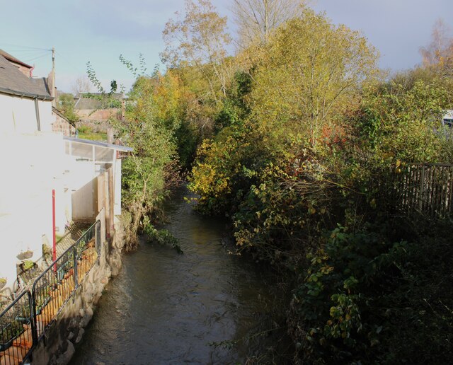
Beech Wood, Angus is a picturesque forest located in the Angus region of Scotland. Covering an area of approximately 100 hectares, it is known for its dense and lush beech tree population, which gives the wood its name. The forest is situated on gently sloping terrain, providing visitors with a varied and scenic landscape to explore.
Beech Wood is a haven for nature enthusiasts, offering a tranquil and serene environment. The forest is home to a diverse range of flora and fauna, with an abundance of wildlife that includes deer, birds, and various small mammals. The dense canopy of beech trees provides a cool and shaded atmosphere, making it an ideal destination for nature walks or picnics on warm summer days.
The wood is crisscrossed with a network of well-maintained trails, allowing visitors to easily navigate through the forest. These paths cater to different preferences, ranging from short and leisurely strolls to longer hikes that provide a more challenging experience. Along the trails, visitors can enjoy the beauty of the woodland, observe the wildlife, and even spot some rare plant species that thrive in this unique ecosystem.
Beech Wood, Angus is also a popular destination for photographers and artists, who are drawn to the enchanting atmosphere and the play of light filtering through the dense foliage. The forest provides ample opportunities for capturing stunning images or creating artwork inspired by its natural beauty.
Overall, Beech Wood, Angus offers a peaceful retreat where visitors can immerse themselves in nature, enjoy outdoor activities, and appreciate the beauty of this ancient woodland.
If you have any feedback on the listing, please let us know in the comments section below.
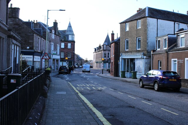
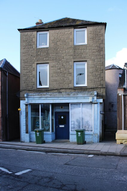
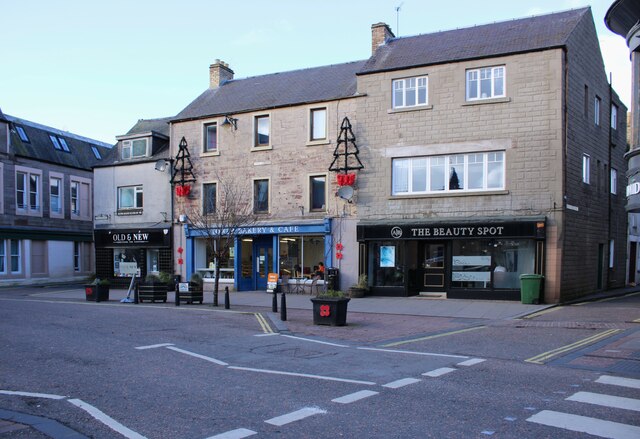
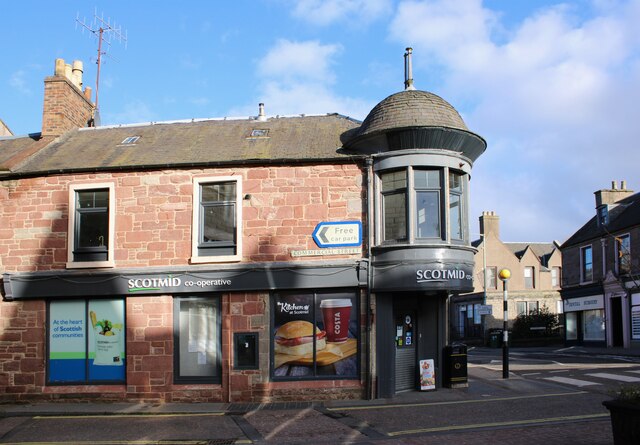
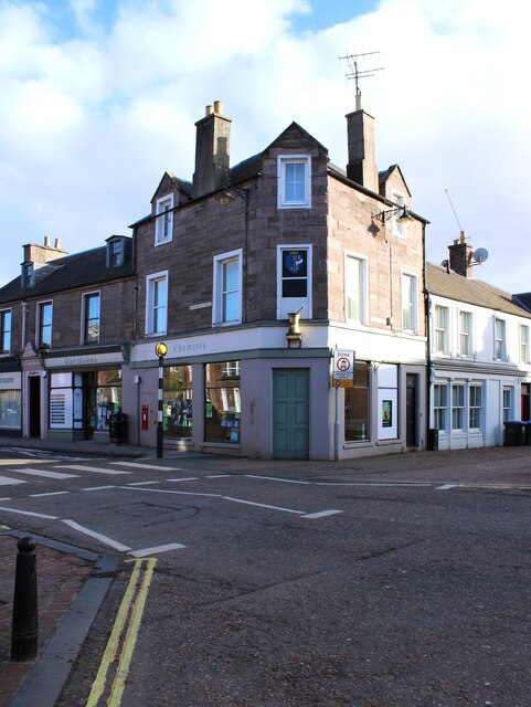
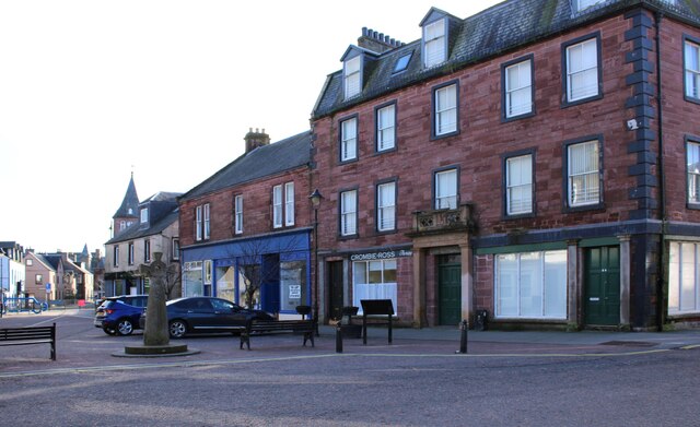
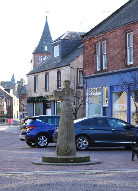
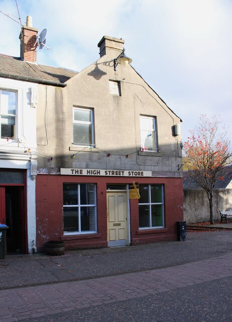
Beech Wood Images
Images are sourced within 2km of 56.536206/-3.2512499 or Grid Reference NO2338. Thanks to Geograph Open Source API. All images are credited.

Beech Wood is located at Grid Ref: NO2338 (Lat: 56.536206, Lng: -3.2512499)
Unitary Authority: Perth and Kinross
Police Authority: Tayside
What 3 Words
///universally.thing.paler. Near Coupar Angus, Perth & Kinross
Nearby Locations
Related Wikis

Kettins
Kettins is a village in Perth and Kinross, Scotland about 14 miles (23 kilometres) northeast of Perth and 11 miles (18 kilometres) northwest of Dundee...

Coupar Angus railway station
Coupar Angus railway station served the town of Coupar Angus, Perth and Kinross, Scotland from 1837 to 1967 on the Scottish Midland Junction Railway....

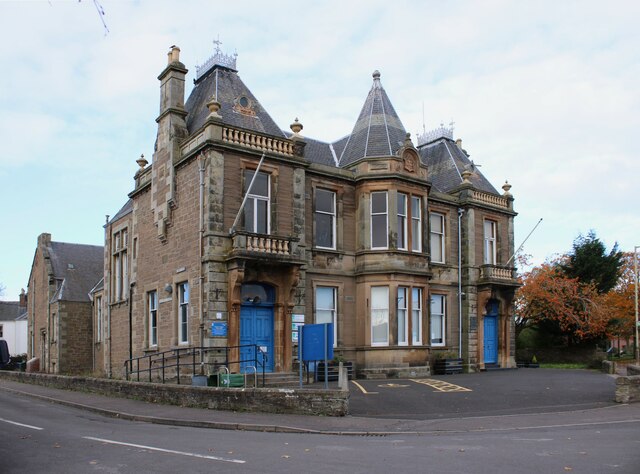
Coupar Angus Town Hall
Coupar Angus Town Hall is a municipal structure in Union Street in Coupar Angus, Perth and Kinross, Scotland. The structure, which is used as a community...
Coupar Angus
Coupar Angus ( ; Gaelic: Cùbar Aonghais) is a town in Perth and Kinross, Scotland, 4 miles (6 kilometres) south of Blairgowrie. The name Coupar Angus serves...
Related Videos

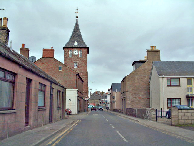
COUPAR,ANGUS,SCOTLAND
Traveling Scotland #Coupar #Angus #Travel #Scotland Coupar Angus (/ˈkʊpər/ (About this soundlisten); Gaelic: Cùbar ...

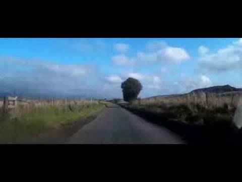
Winter Road Trip Drive With Music On History Visit To Eastern Perthshire Scotland
Tour Scotland 4K Winter travel video, with Scottish accordion music, of a road trip drive on single track back roads on ancestry, ...
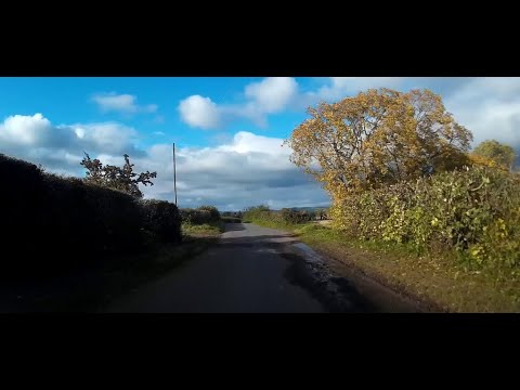
Autumn Drive With Music On Single Track Back Road On Visit To Rural Perthshire Scotland
Tour Scotland 4K early Autumn travel video, with Scottish music, of part of a drive on single track back road on ancestry, ...
Autumn Back Roads Drive To Visit Coupar Angus Perthshire Scotland
Tour Scotland travel video of an Autumn back roads drive, with Scottish music, on ancestry, history visit to Coupar Angus, Gaelic: ...
Nearby Amenities
Located within 500m of 56.536206,-3.2512499Have you been to Beech Wood?
Leave your review of Beech Wood below (or comments, questions and feedback).