Engine Wood

Wood, Forest in Stirlingshire

Scotland

Engine Wood

M80, northbound The M80 joins Glasgow to Stirling. It runs 25 miles from Glasgow to Bannockburn.
<span class="nowrap"><a title="https://www.sabre-roads.org.uk/wiki/index.php?title=M80" rel="nofollow ugc noopener" href="https://www.sabre-roads.org.uk/wiki/index.php?title=M80">Link</a><img style="margin-left:2px;" alt="External link" title="External link - shift click to open in new window" src="https://s1.geograph.org.uk/img/external.png" width="10" height="10"/></span>
M80, northbound Credit: N Chadwick

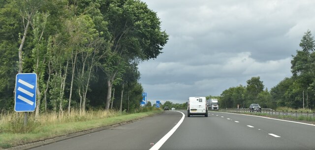
Engine Wood is a picturesque forest located in Stirlingshire, Scotland. Spread across an area of approximately 100 acres, this enchanting woodland is known for its diverse range of trees and fauna, making it a popular destination for nature lovers and hikers alike.

One of the key features of Engine Wood is its impressive array of tree species. The forest is dominated by towering Scots pines, with their distinctive red-brown bark and long, slender needles. These majestic trees provide a habitat for various wildlife species, such as red squirrels, roe deer, and numerous bird species including great spotted woodpeckers and crossbills. The forest floor is carpeted with an assortment of wildflowers, adding vibrant colors to the landscape during the spring and summer months.

The wood is crisscrossed by a network of well-maintained trails, making it easily accessible for visitors. These paths lead explorers through the heart of the forest, offering glimpses of tranquil streams, small waterfalls, and secluded picnic spots. The serene atmosphere provides a perfect escape from the hustle and bustle of everyday life.

Engine Wood also holds historical significance. In the past, the wood was used as a source of timber for the nearby mining industry. Remnants of old mining infrastructure, such as abandoned railway lines and disused engine houses, can still be found within the forest, serving as a reminder of its industrial past.

Overall, Engine Wood is a captivating natural haven that offers a captivating blend of biodiversity, natural beauty, and historical charm. It is a must-visit destination for anyone seeking solace in the embrace of nature.

If you have any feedback on the listing, please let us know in the comments section below.

Engine Wood Images

Images are sourced within 2km of 56.065809/-3.9031123 or Grid Reference NS8187. Thanks to Geograph Open Source API. All images are credited.

M80, northbound The M80 joins Glasgow to Stirling. It runs 25 miles from Glasgow to Bannockburn.
<span class="nowrap"><a title="https://www.sabre-roads.org.uk/wiki/index.php?title=M80" rel="nofollow ugc noopener" href="https://www.sabre-roads.org.uk/wiki/index.php?title=M80">Link</a><img style="margin-left:2px;" alt="External link" title="External link - shift click to open in new window" src="https://s1.geograph.org.uk/img/external.png" width="10" height="10"/></span>
M80, northbound
The M80 joins Glasgow to Stirling. It runs 25 miles from Glasgow to Bannockburn. LinkExternal link
Access bridge, M80 The M80 joins Glasgow to Stirling. It runs 25 miles from Glasgow to Bannockburn.
<span class="nowrap"><a title="https://www.sabre-roads.org.uk/wiki/index.php?title=M80" rel="nofollow ugc noopener" href="https://www.sabre-roads.org.uk/wiki/index.php?title=M80">Link</a><img style="margin-left:2px;" alt="External link" title="External link - shift click to open in new window" src="https://s1.geograph.org.uk/img/external.png" width="10" height="10"/></span>
Access bridge, M80
The M80 joins Glasgow to Stirling. It runs 25 miles from Glasgow to Bannockburn. LinkExternal link
Tourist information on M80 The M80 joins Glasgow to Stirling. It runs 25 miles from Glasgow to Bannockburn.
<span class="nowrap"><a title="https://www.sabre-roads.org.uk/wiki/index.php?title=M80" rel="nofollow ugc noopener" href="https://www.sabre-roads.org.uk/wiki/index.php?title=M80">Link</a><img style="margin-left:2px;" alt="External link" title="External link - shift click to open in new window" src="https://s1.geograph.org.uk/img/external.png" width="10" height="10"/></span>
Tourist information on M80
The M80 joins Glasgow to Stirling. It runs 25 miles from Glasgow to Bannockburn. LinkExternal link
M80, northbound The M80 joins Glasgow to Stirling. It runs 25 miles from Glasgow to Bannockburn.
<span class="nowrap"><a title="https://www.sabre-roads.org.uk/wiki/index.php?title=M80" rel="nofollow ugc noopener" href="https://www.sabre-roads.org.uk/wiki/index.php?title=M80">Link</a><img style="margin-left:2px;" alt="External link" title="External link - shift click to open in new window" src="https://s1.geograph.org.uk/img/external.png" width="10" height="10"/></span>
M80, northbound
The M80 joins Glasgow to Stirling. It runs 25 miles from Glasgow to Bannockburn. LinkExternal link
M80, northbound approaching J9 The M80 joins Glasgow to Stirling. It runs 25 miles from Glasgow to Bannockburn.
<span class="nowrap"><a title="https://www.sabre-roads.org.uk/wiki/index.php?title=M80" rel="nofollow ugc noopener" href="https://www.sabre-roads.org.uk/wiki/index.php?title=M80">Link</a><img style="margin-left:2px;" alt="External link" title="External link - shift click to open in new window" src="https://s1.geograph.org.uk/img/external.png" width="10" height="10"/></span>
M80, northbound approaching J9
The M80 joins Glasgow to Stirling. It runs 25 miles from Glasgow to Bannockburn. LinkExternal link
M80, northbound The M80 joins Glasgow to Stirling. It runs 25 miles from Glasgow to Bannockburn.
<span class="nowrap"><a title="https://www.sabre-roads.org.uk/wiki/index.php?title=M80" rel="nofollow ugc noopener" href="https://www.sabre-roads.org.uk/wiki/index.php?title=M80">Link</a><img style="margin-left:2px;" alt="External link" title="External link - shift click to open in new window" src="https://s1.geograph.org.uk/img/external.png" width="10" height="10"/></span>
M80, northbound
The M80 joins Glasgow to Stirling. It runs 25 miles from Glasgow to Bannockburn. LinkExternal link
BP filling station at Stirling Services
Ragged-robin near Stirling Services Close to the M80 and a short stroll from Stirling Services.
Ragged-robin near Stirling Services
Close to the M80 and a short stroll from Stirling Services.
Germander Speedwell near Stirling Services A surprising number of wildflowers were to be found behind Stirling Services.
Germander Speedwell near Stirling Services
A surprising number of wildflowers were to be found behind Stirling Services.
Post Box at Stirling Services FK7 214. Royal Mail list this box as 'Moto Service Station'.
Post Box at Stirling Services
FK7 214. Royal Mail list this box as 'Moto Service Station'.
View of Stirling Services
Minor road near Auchenbowie Wood Looking eastward. In the far distance a section of the M80 motorway can be seen.
Minor road near Auchenbowie Wood
Looking eastward. In the far distance a section of the M80 motorway can be seen.
Car park, Stirling Services
AA Oil Near Cowie
AA Oil
Near Cowie
Barley, Plean
Barley, Plean
Small Burn, Plean
Small Burn, Plean
Frosty field, Auchenbowie A view of the northern edge of Barr Wood.
Frosty field, Auchenbowie
A view of the northern edge of Barr Wood.
Car Park at Stirling Motorway Services These disabled parking bays are in the services which are located in the centre of the motorway junction of the M9, M80, A91 ande the A872. In the background is the Travelodge Hotel.
Car Park at Stirling Motorway Services
These disabled parking bays are in the services which are located in the centre of the motorway junction of the M9, M80, A91 ande the A872. In the background is the Travelodge Hotel.
Show me another place!

Engine Wood is located at Grid Ref: NS8187 (Lat: 56.065809, Lng: -3.9031123)

Unitary Authority: Stirling

Police Authority: Forth Valley

What 3 Words

///exam.revealing.study. Near Plean, Stirling

Related Wikis

Battle of Sauchieburn

The Battle of Sauchieburn was fought on 11 June 1488, at the side of Sauchie Burn, a stream about two miles (3 km) south of Stirling, Scotland. The battle...

Bannockburn House

Bannockburn House is a property of historical significance in the town of Bannockburn. It is a Category A listed building. == History == Bannockburn House...

Stirling services

Stirling services is a motorway service station near Stirling, Scotland. The service station is located where the M9 motorway and M80 motorway join. It...
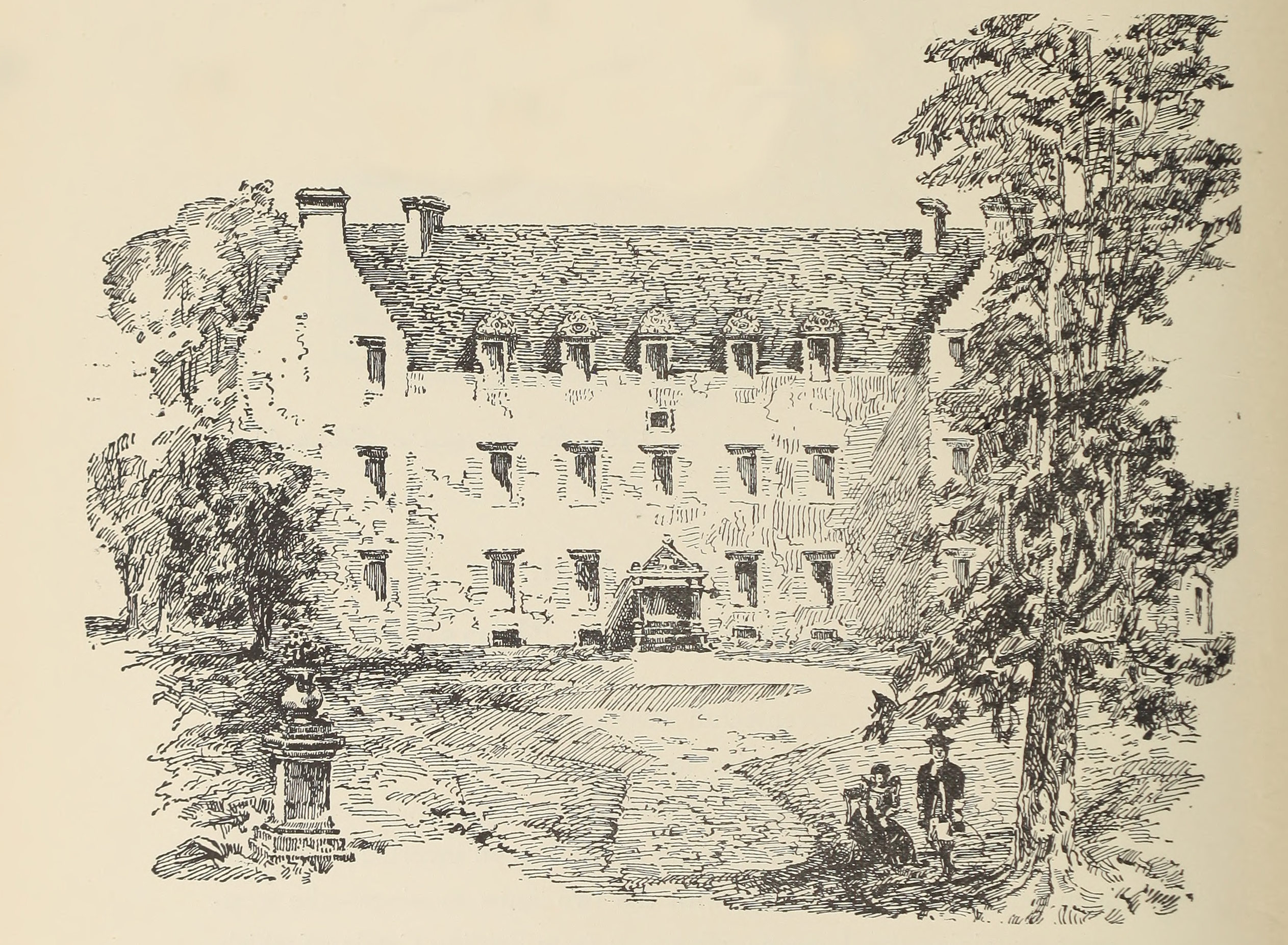
Auchenbowie House

Auchenbowie House is a laird's house (mansion) in Stirling, Scotland. The location is about 3.5 miles (5.6 km) south of Stirling, on minor road west of...

Plean

Plean is a village, in the Stirling council area of central Scotland, located on the main A9 road from Falkirk. At the 2001 census, Plean had a population...

Plean railway station

Plean railway station served the village of Plean, Stirlingshire, Scotland from 1904 to 1956 on the Scottish Central Railway. == History == The station...

William Simpson's Home

The William Simpson's Home is a care home in Plean, Scotland. It provides care for members of the armed services who have developed mental health or alcohol...

Bannockburn

Bannockburn (Scottish Gaelic Allt a' Bhonnaich) is an area immediately south of the centre of Stirling in Scotland. It is part of the City of Stirling...

Nearby Amenities

Located within 500m of 56.065809,-3.9031123
Power: pole
Lat/Long: 56.0615164/-3.903211
Power: pole
Lat/Long: 56.0618941/-3.9037547
Power: pole
Lat/Long: 56.0622974/-3.9043138
Power: pole
Lat/Long: 56.0626651/-3.9048448
Power: pole
Lat/Long: 56.0635996/-3.8961814
Power: pole
Lat/Long: 56.0645881/-3.8958884
Power: pole
Lat/Long: 56.0652465/-3.8956331
Power: pole
Lat/Long: 56.0660188/-3.8953115
Entrance: main
Lat/Long: 56.06553/-3.9096944
Power: pole
Lat/Long: 56.0632631/-3.9045403
Power: pole
Lat/Long: 56.0641452/-3.8976989
Power: pole
Lat/Long: 56.0642462/-3.8992554
Power: pole
Lat/Long: 56.0643736/-3.9007186
Power: pole
Lat/Long: 56.0649208/-3.9035984
Power: pole
Lat/Long: 56.0652149/-3.9047905
Power: pole
Lat/Long: 56.0655484/-3.906066
Power: pole
Lat/Long: 56.0656085/-3.9068464
Power: pole
Lat/Long: 56.0657151/-3.9075514
West Plean
Place: hamlet
Lat/Long: 56.0660651/-3.9066452
Power: pole
Lat/Long: 56.0646172/-3.9023836
Power: pole
Lat/Long: 56.0637083/-3.903799
Power: pole
Lat/Long: 56.0641715/-3.9030573
The data included in this document is from www.openstreetmap.org. The data is made available under ODbL.

Have you been to Engine Wood?

Leave your review of Engine Wood below (or comments, questions and feedback).