Common Hill

Hill, Mountain in Stirlingshire

Scotland

Common Hill

Minor road between Kingsburgh and Craigend Looking south-westward.
Minor road between Kingsburgh and Craigend Credit: Peter Wood

Common Hill is a prominent hill located in the county of Stirlingshire, Scotland. It is part of the Campsie Fells range and stands at an elevation of approximately 365 meters (1,198 feet) above sea level. Situated near the small village of Lennoxtown, Common Hill offers stunning panoramic views of the surrounding countryside.

The hill is a popular destination for outdoor enthusiasts, hikers, and nature lovers. Its well-maintained trails and paths make it easily accessible, attracting visitors of all ages and fitness levels. The ascent to the summit is relatively gentle, providing a pleasant and enjoyable walking experience.

Common Hill is characterized by its diverse flora and fauna. The lower slopes are covered in lush green vegetation, including heather, grasses, and wildflowers. As the elevation increases, the landscape transitions into open moorland, dotted with rocks and boulders. This variation in terrain creates a vibrant and picturesque setting.

From the summit of Common Hill, visitors can admire breathtaking views across central Scotland. On a clear day, the peaks of Ben Lomond and the Trossachs National Park can be seen in the distance. The hill also overlooks the nearby towns of Glasgow and Stirling, offering a unique perspective on urban and rural landscapes.

Overall, Common Hill in Stirlingshire is a popular destination for those seeking outdoor adventures and a chance to immerse themselves in Scotland's natural beauty. Its accessibility, diverse scenery, and stunning views make it a must-visit location for both locals and tourists alike.

If you have any feedback on the listing, please let us know in the comments section below.
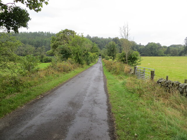
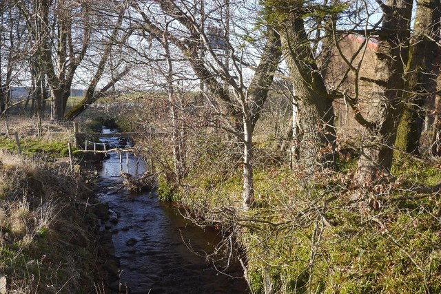
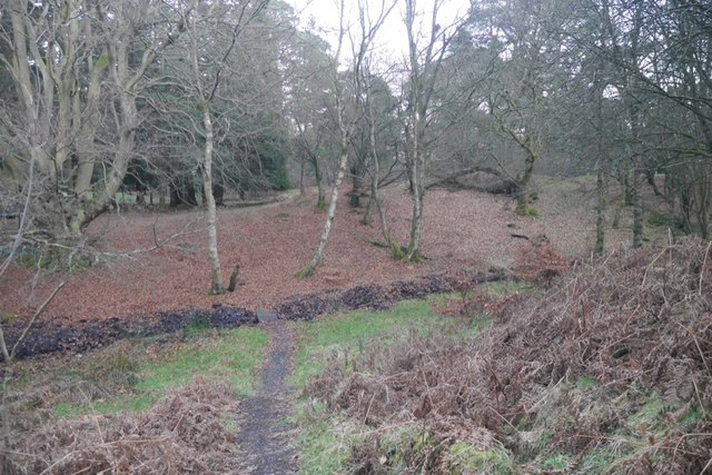
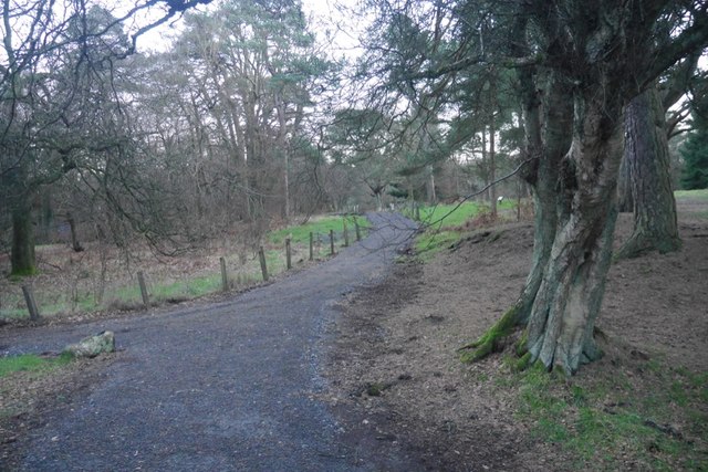
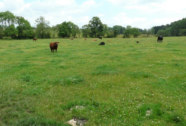
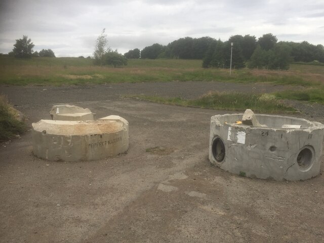
Common Hill Images

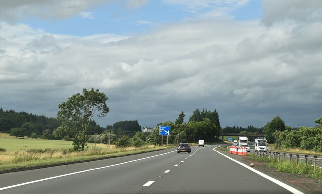
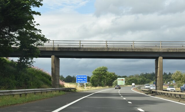
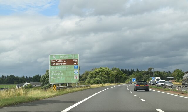
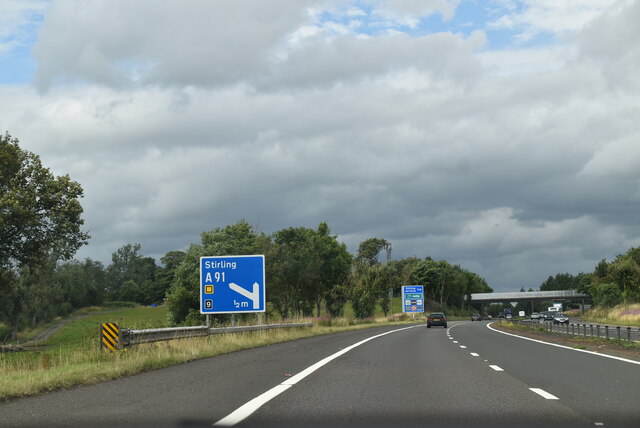
Images are sourced within 2km of 56.066768/-3.911995 or Grid Reference NS8187. Thanks to Geograph Open Source API. All images are credited.

Minor road between Kingsburgh and Craigend Looking south-westward.
Minor road between Kingsburgh and Craigend
Looking south-westward.
Ordnance Survey Cut Mark with Rivet This mark can be found on top of the parapet wall of a road bridge near Auchenbowie.
The recorded details give a height of 79.35 metres above sea level.
For more detail see : <span class="nowrap"><a title="https://www.bench-marks.org.uk/bm179739" rel="nofollow ugc noopener" href="https://www.bench-marks.org.uk/bm179739">Link</a><img style="margin-left:2px;" alt="External link" title="External link - shift click to open in new window" src="https://s1.geograph.org.uk/img/external.png" width="10" height="10"/></span>
Ordnance Survey Cut Mark with Rivet
This mark can be found on top of the parapet wall of a road bridge near Auchenbowie. The recorded details give a height of 79.35 metres above sea level. For more detail see : LinkExternal link
Drainage, Auchenbowie A straightened out burn.
Drainage, Auchenbowie
A straightened out burn.
New road, Barr Wood The road, which is new and not on the latest edition of the orienteering map runs up to a shelter at NS790867. It has been used to extract timber and services the scout camp without destroying the wild feel of the part of the camp most often used.
New road, Barr Wood
The road, which is new and not on the latest edition of the orienteering map runs up to a shelter at NS790867. It has been used to extract timber and services the scout camp without destroying the wild feel of the part of the camp most often used.
Barr Wood Much of the wood is used as a Scout camp, so best visited in Winter.
Barr Wood
Much of the wood is used as a Scout camp, so best visited in Winter.
Path, Barr Wood Newly upgraded path. The wood is used as a Scout camp.
Path, Barr Wood
Newly upgraded path. The wood is used as a Scout camp.
Closed caravan site, Auchenbowie
Field with cattle
Field with cattle
Brucefields Family Golf Club Now closed and the buildings demolished. It looked like this once <a href="https://www.geograph.org.uk/photo/55045">NS8089 : Driving Range, Bannockburn</a>
Brucefields Family Golf Club
Now closed and the buildings demolished. It looked like this once NS8089 : Driving Range, Bannockburn
Clubhouse site, Brucefields Former golf course on the edge of Stirling.
Clubhouse site, Brucefields
Former golf course on the edge of Stirling.
Site of Brucefields golf course A closed course and driving range on the edge of Stirling.
Site of Brucefields golf course
A closed course and driving range on the edge of Stirling.
Brucefields Family Golf Club Now closed and the buildings demolished. It looked like this once <a href="https://www.geograph.org.uk/photo/55045">NS8089 : Driving Range, Bannockburn</a>
Brucefields Family Golf Club
Now closed and the buildings demolished. It looked like this once NS8089 : Driving Range, Bannockburn
M80, northbound The M80 joins Glasgow to Stirling. It runs 25 miles from Glasgow to Bannockburn.
<span class="nowrap"><a title="https://www.sabre-roads.org.uk/wiki/index.php?title=M80" rel="nofollow ugc noopener" href="https://www.sabre-roads.org.uk/wiki/index.php?title=M80">Link</a><img style="margin-left:2px;" alt="External link" title="External link - shift click to open in new window" src="https://s1.geograph.org.uk/img/external.png" width="10" height="10"/></span>
M80, northbound
The M80 joins Glasgow to Stirling. It runs 25 miles from Glasgow to Bannockburn. LinkExternal link
Access bridge, M80 The M80 joins Glasgow to Stirling. It runs 25 miles from Glasgow to Bannockburn.
<span class="nowrap"><a title="https://www.sabre-roads.org.uk/wiki/index.php?title=M80" rel="nofollow ugc noopener" href="https://www.sabre-roads.org.uk/wiki/index.php?title=M80">Link</a><img style="margin-left:2px;" alt="External link" title="External link - shift click to open in new window" src="https://s1.geograph.org.uk/img/external.png" width="10" height="10"/></span>
Access bridge, M80
The M80 joins Glasgow to Stirling. It runs 25 miles from Glasgow to Bannockburn. LinkExternal link
Tourist information on M80 The M80 joins Glasgow to Stirling. It runs 25 miles from Glasgow to Bannockburn.
<span class="nowrap"><a title="https://www.sabre-roads.org.uk/wiki/index.php?title=M80" rel="nofollow ugc noopener" href="https://www.sabre-roads.org.uk/wiki/index.php?title=M80">Link</a><img style="margin-left:2px;" alt="External link" title="External link - shift click to open in new window" src="https://s1.geograph.org.uk/img/external.png" width="10" height="10"/></span>
Tourist information on M80
The M80 joins Glasgow to Stirling. It runs 25 miles from Glasgow to Bannockburn. LinkExternal link
M80, northbound The M80 joins Glasgow to Stirling. It runs 25 miles from Glasgow to Bannockburn.
<span class="nowrap"><a title="https://www.sabre-roads.org.uk/wiki/index.php?title=M80" rel="nofollow ugc noopener" href="https://www.sabre-roads.org.uk/wiki/index.php?title=M80">Link</a><img style="margin-left:2px;" alt="External link" title="External link - shift click to open in new window" src="https://s1.geograph.org.uk/img/external.png" width="10" height="10"/></span>
M80, northbound
The M80 joins Glasgow to Stirling. It runs 25 miles from Glasgow to Bannockburn. LinkExternal link
M80, northbound approaching J9 The M80 joins Glasgow to Stirling. It runs 25 miles from Glasgow to Bannockburn.
<span class="nowrap"><a title="https://www.sabre-roads.org.uk/wiki/index.php?title=M80" rel="nofollow ugc noopener" href="https://www.sabre-roads.org.uk/wiki/index.php?title=M80">Link</a><img style="margin-left:2px;" alt="External link" title="External link - shift click to open in new window" src="https://s1.geograph.org.uk/img/external.png" width="10" height="10"/></span>
M80, northbound approaching J9
The M80 joins Glasgow to Stirling. It runs 25 miles from Glasgow to Bannockburn. LinkExternal link
M80, northbound The M80 joins Glasgow to Stirling. It runs 25 miles from Glasgow to Bannockburn.
<span class="nowrap"><a title="https://www.sabre-roads.org.uk/wiki/index.php?title=M80" rel="nofollow ugc noopener" href="https://www.sabre-roads.org.uk/wiki/index.php?title=M80">Link</a><img style="margin-left:2px;" alt="External link" title="External link - shift click to open in new window" src="https://s1.geograph.org.uk/img/external.png" width="10" height="10"/></span>
M80, northbound
The M80 joins Glasgow to Stirling. It runs 25 miles from Glasgow to Bannockburn. LinkExternal link
Show me another place!

Common Hill is located at Grid Ref: NS8187 (Lat: 56.066768, Lng: -3.911995)

Unitary Authority: Stirling

Police Authority: Forth Valley

What 3 Words

///newest.parked.latitudes. Near Plean, Stirling

Related Wikis

Battle of Sauchieburn

The Battle of Sauchieburn was fought on 11 June 1488, at the side of Sauchie Burn, a stream about two miles (3 km) south of Stirling, Scotland. The battle...
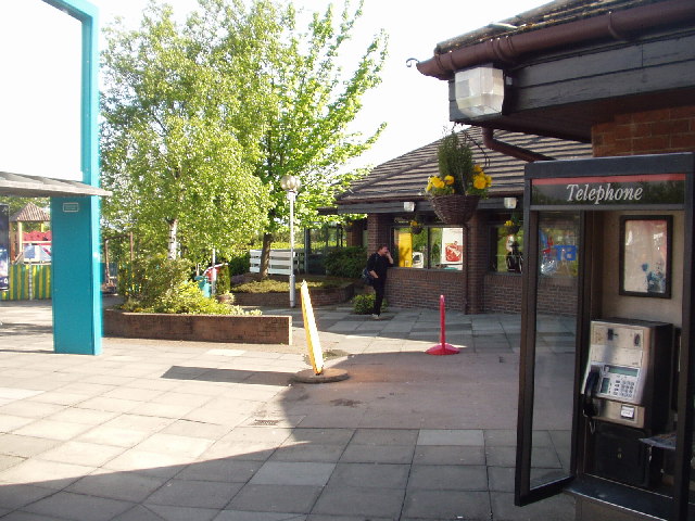
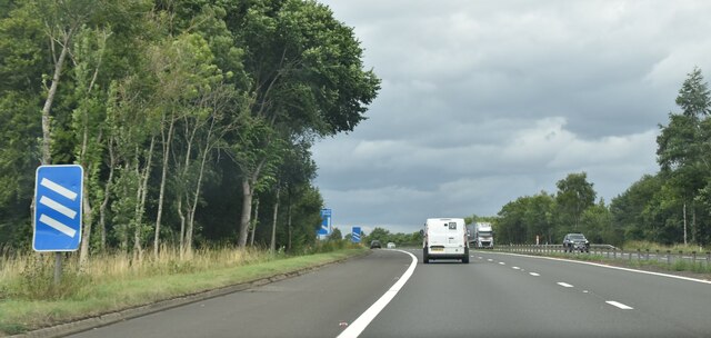
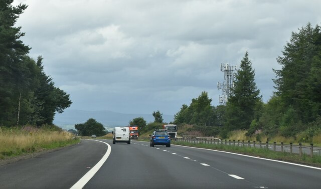
Stirling services

Stirling services is a motorway service station near Stirling, Scotland. The service station is located where the M9 motorway and M80 motorway join. It...
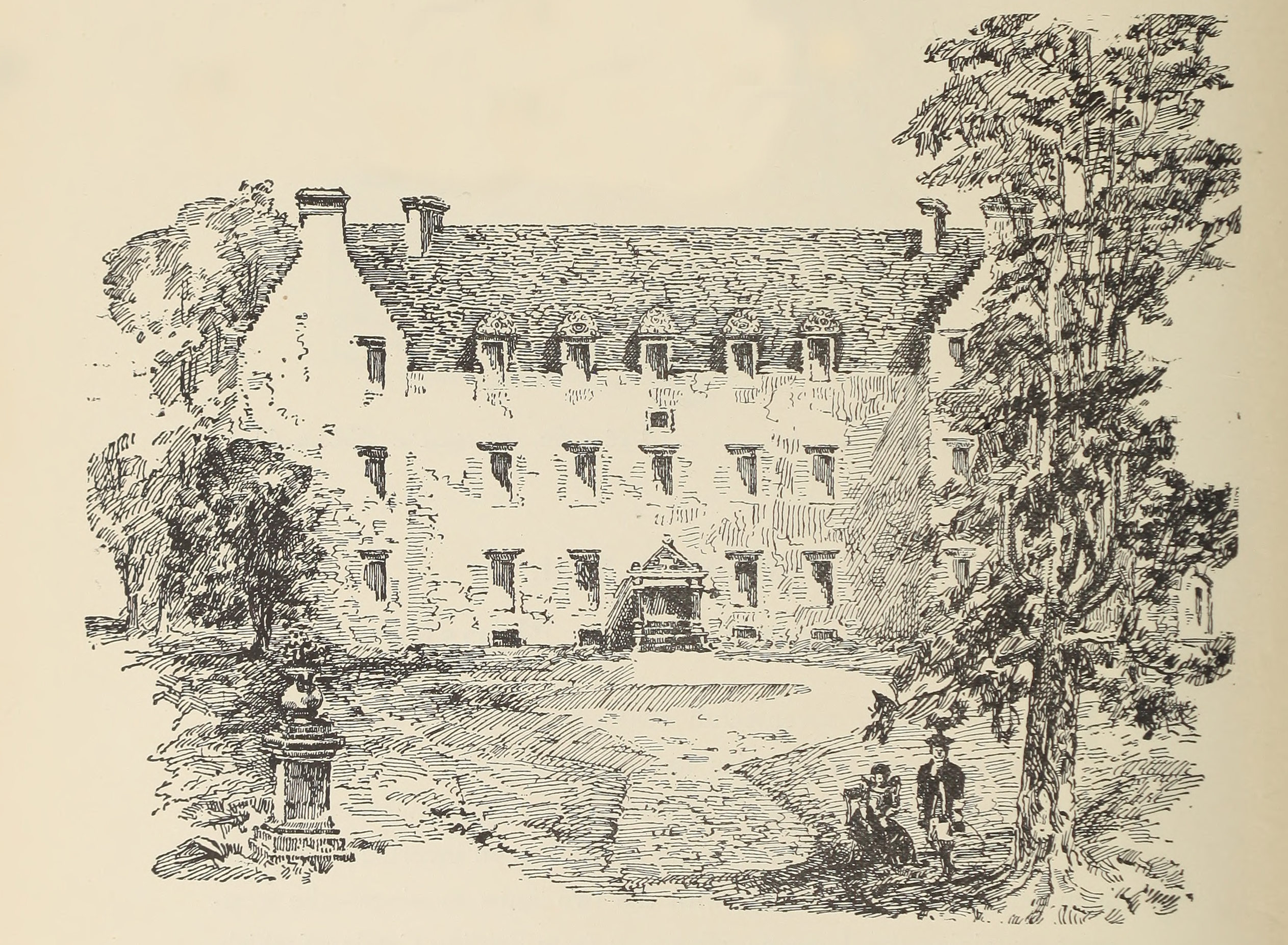
Auchenbowie House

Auchenbowie House is a laird's house (mansion) in Stirling, Scotland. The location is about 3.5 miles (5.6 km) south of Stirling, on minor road west of...

Bannockburn House

Bannockburn House is a property of historical significance in the town of Bannockburn. It is a Category A listed building. == History == Bannockburn House...

Nearby Amenities

Located within 500m of 56.066768,-3.911995
Stirlingshire
Is In Region: Central
Name Ang: Striuelinsċīr
Name De: Stirlingshire
Name En: Stirlingshire
Name Fr: Stirlingshire
Name Ga: Siorrachd Shruighlea
Name Gd: Siorrachd Shruighlea
Name Ku: Stirlingshire
Name La: Sterlinensis
Name No: Stirlingshire
Name Pl: Stirlingshire
Name Pt: Stirlingshire
Name Sco: Stirlinshire
Name Sh: Stirlingshire
Name Ur: سٹرلنگشائر
Place: county
Wikidata: Q1229763
Wikipedia: en:Stirlingshire
Lat/Long: 56.0701208/-3.9087351
Entrance: main
Lat/Long: 56.06553/-3.9096944
Power: pole
Lat/Long: 56.0652149/-3.9047905
Power: pole
Lat/Long: 56.0655484/-3.906066
Power: pole
Lat/Long: 56.0656085/-3.9068464
Power: pole
Lat/Long: 56.0657151/-3.9075514
Battle of Sauchieburn (1488)
Historic: battlefield
Lat/Long: 56.0667164/-3.9168041
West Plean
Place: hamlet
Lat/Long: 56.0660651/-3.9066452
The data included in this document is from www.openstreetmap.org. The data is made available under ODbL.

Have you been to Common Hill?

Leave your review of Common Hill below (or comments, questions and feedback).