Muir Wood
Wood, Forest in Stirlingshire
Scotland
Muir Wood
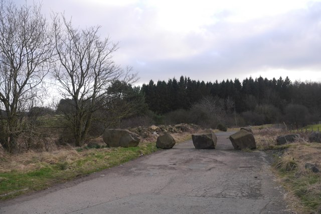
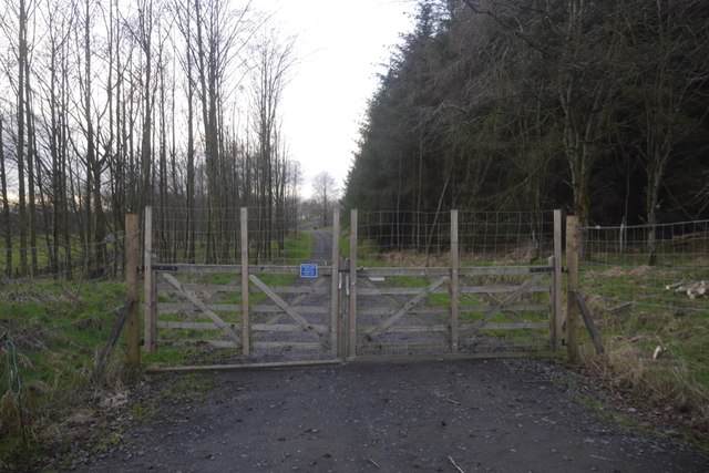
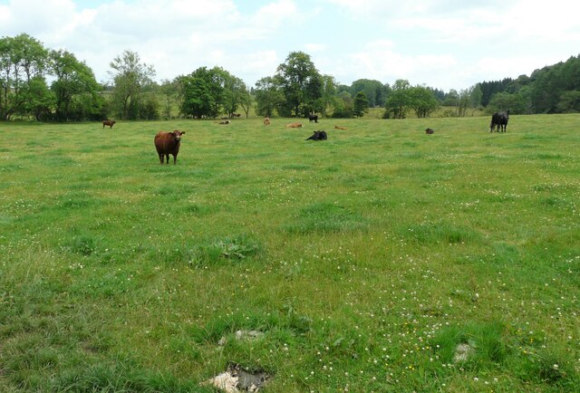
Muir Wood is a picturesque forest located in Stirlingshire, Scotland. Situated in the heart of the countryside, it covers an area of approximately 500 acres and boasts a rich diversity of flora and fauna. The wood is named after the Scottish Gaelic word for "moor," reflecting its location on the edge of the expansive Muiravonside Country Park.
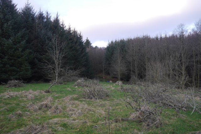
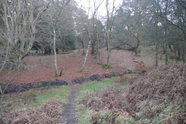
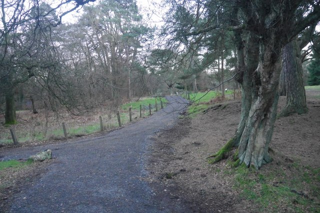
The forest is characterized by its dense stands of native trees, predominantly consisting of oak, birch, and beech. These majestic trees create a tranquil and serene atmosphere, making it a popular destination for nature lovers and outdoor enthusiasts. The woodland floor is adorned with a carpet of wildflowers during the spring and summer months, adding to the area's natural beauty.
Muir Wood is not only known for its stunning scenery but also for its abundant wildlife. Visitors may spot a variety of bird species, including woodpeckers and owls, as well as small mammals such as squirrels and deer. The wood is also home to various plant and insect species, providing an important habitat for biodiversity.
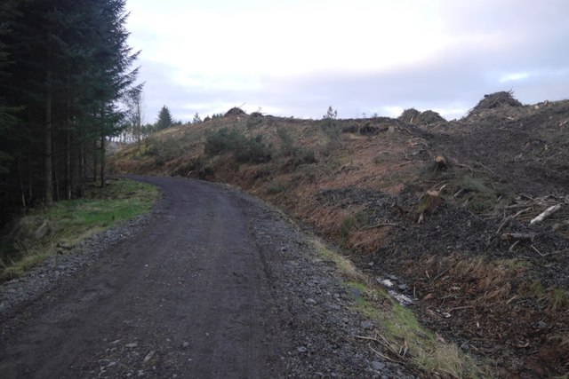
The forest offers a range of recreational activities for visitors to enjoy. There are well-maintained walking trails that meander through the woodland, providing opportunities for leisurely strolls or more challenging hikes. Picnic areas and benches are strategically placed throughout the wood, allowing visitors to relax and appreciate the surroundings. Additionally, the forest is open to horse riders, providing an excellent opportunity for equestrian enthusiasts to explore the area.
Overall, Muir Wood in Stirlingshire is a captivating destination that offers a peaceful retreat amidst nature's splendor. Its diverse ecosystem, scenic beauty, and recreational opportunities make it a must-visit location for individuals seeking solace in the great outdoors.
If you have any feedback on the listing, please let us know in the comments section below.
Muir Wood Images
Images are sourced within 2km of 56.061653/-3.9115009 or Grid Reference NS8187. Thanks to Geograph Open Source API. All images are credited.


Muir Wood is located at Grid Ref: NS8187 (Lat: 56.061653, Lng: -3.9115009)
Unitary Authority: Stirling
Police Authority: Forth Valley
What 3 Words
///shadows.appeal.pigtails. Near Plean, Stirling
Nearby Locations
Related Wikis

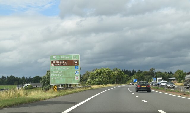
Battle of Sauchieburn
The Battle of Sauchieburn was fought on 11 June 1488, at the side of Sauchie Burn, a stream about two miles (3 km) south of Stirling, Scotland. The battle...
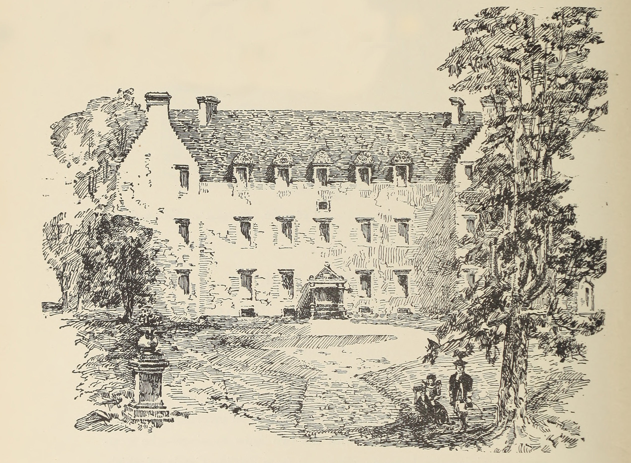
Auchenbowie House
Auchenbowie House is a laird's house (mansion) in Stirling, Scotland. The location is about 3.5 miles (5.6 km) south of Stirling, on minor road west of...
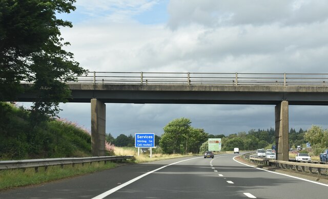
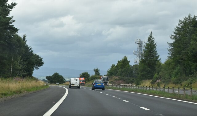
Stirling services
Stirling services is a motorway service station near Stirling, Scotland. The service station is located where the M9 motorway and M80 motorway join. It...
Bannockburn House
Bannockburn House is a property of historical significance in the town of Bannockburn. It is a Category A listed building. == History == Bannockburn House...

Plean
Plean is a village, in the Stirling council area of central Scotland, located on the main A9 road from Falkirk. At the 2001 census, Plean had a population...

William Simpson's Home
The William Simpson's Home is a care home in Plean, Scotland. It provides care for members of the armed services who have developed mental health or alcohol...
Plean railway station
Plean railway station served the village of Plean, Stirlingshire, Scotland from 1904 to 1956 on the Scottish Central Railway. == History == The station...

Howietoun Fishery
Howietoun Fishery was created by Sir James Ramsay Gibson Maitland; it is a Victorian fish farm that specialised in the study of trout and salmon farming...
Nearby Amenities
Located within 500m of 56.061653,-3.9115009Have you been to Muir Wood?
Leave your review of Muir Wood below (or comments, questions and feedback).