Douglas Plantation
Wood, Forest in Lanarkshire
Scotland
Douglas Plantation
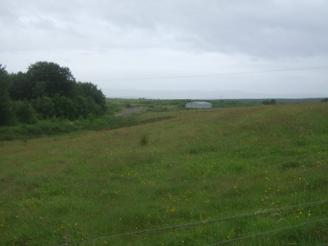
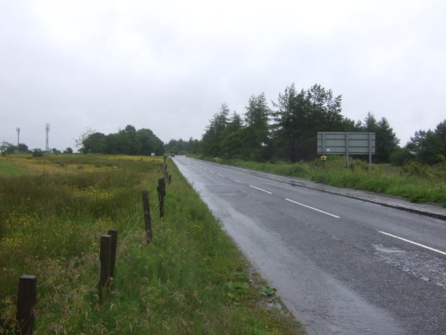
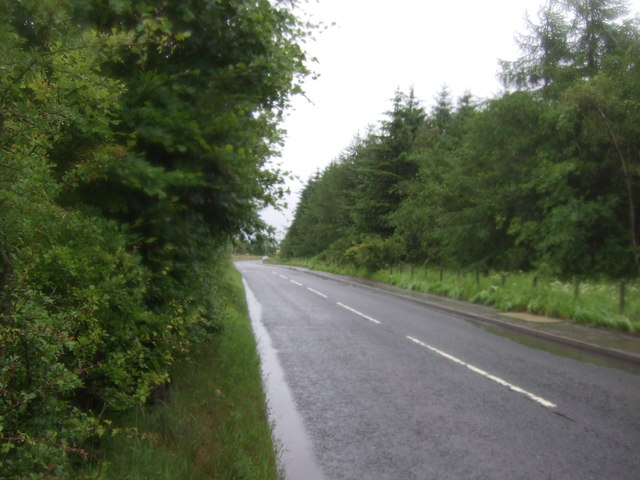
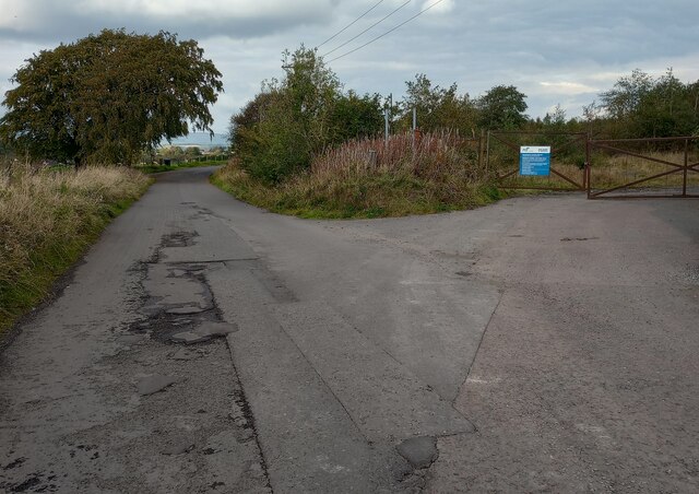
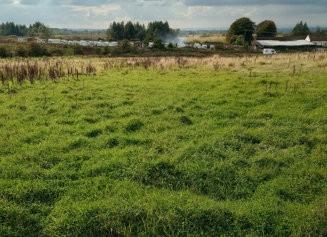
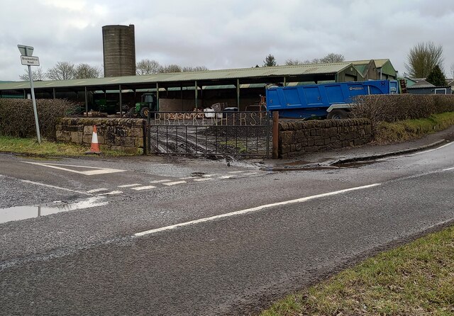
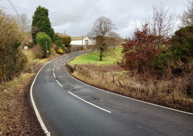
Douglas Plantation, located in Lanarkshire, Scotland, is a large woodland area renowned for its scenic beauty and rich history. Covering an expansive area of land, it is a popular destination for nature enthusiasts, hikers, and those seeking a tranquil retreat.
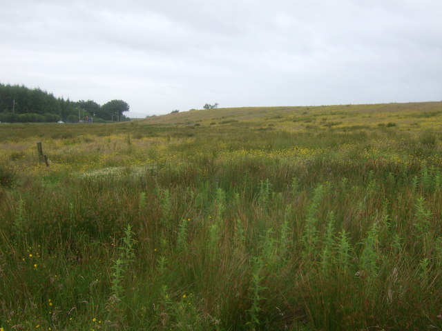
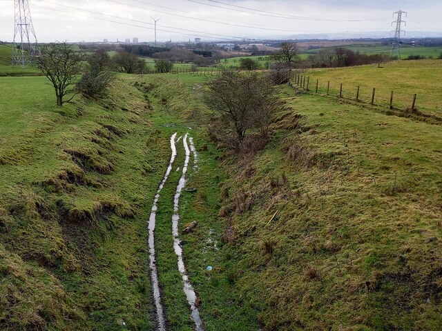
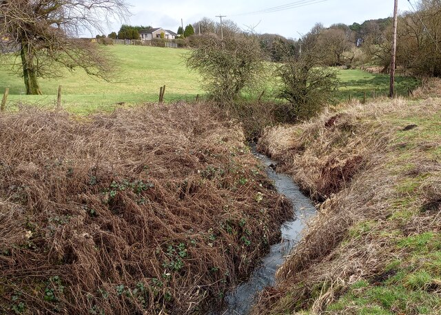
The plantation is characterized by its dense forest, predominantly consisting of oak, beech, and pine trees, which provide a diverse habitat for a wide range of flora and fauna. The woodland is home to various species of birds, including woodpeckers, owls, and buzzards, making it a haven for birdwatchers.
The history of Douglas Plantation dates back several centuries. It was originally part of the Douglas Estate, owned by the Douglas family, one of Scotland's most prominent noble families. The plantation was strategically planted to provide timber for the estate, and remnants of the old sawmill can still be seen today.
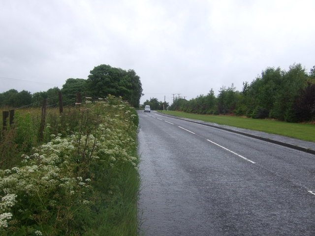
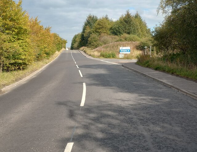
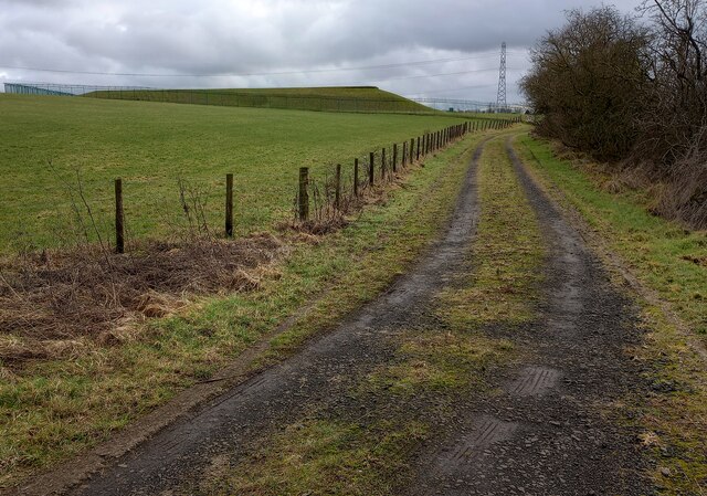
Visitors to the plantation can explore numerous walking trails that meander through the woodland, offering breathtaking views of the surrounding countryside. There are also picnic areas and designated spots for camping, allowing visitors to fully immerse themselves in the natural beauty of the area.
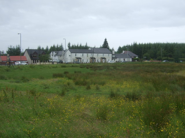
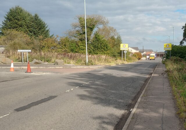
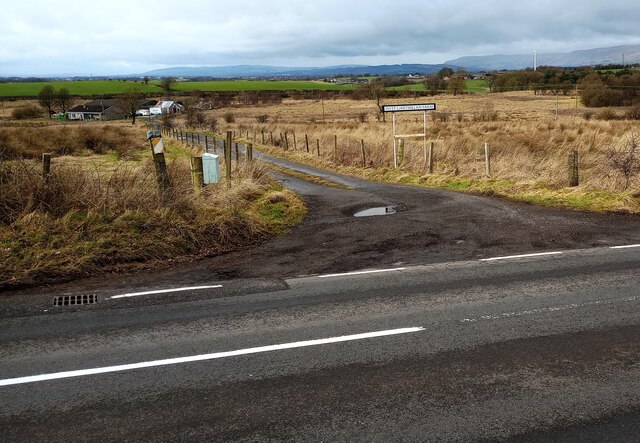
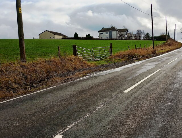
Douglas Plantation is easily accessible, located just a short distance from the town of Douglas in South Lanarkshire. Its picturesque setting and historical significance make it a must-visit destination for those seeking a peaceful escape amidst nature.
If you have any feedback on the listing, please let us know in the comments section below.
Douglas Plantation Images
Images are sourced within 2km of 55.907233/-3.9944948 or Grid Reference NS7570. Thanks to Geograph Open Source API. All images are credited.
Douglas Plantation is located at Grid Ref: NS7570 (Lat: 55.907233, Lng: -3.9944948)
Unitary Authority: North Lanarkshire
Police Authority: Lanarkshire
What 3 Words
///trains.bandwagon.coupler. Near Glenmavis, North Lanarkshire
Nearby Locations
Related Wikis

Riggend
Riggend is a hamlet in North Lanarkshire, Scotland. It is on the A73 Stirling Road not far from Wattston. == References == == External links == visione...

Stand, North Lanarkshire
Stand is a hamlet in North Lanarkshire, Scotland situated on the A73 near Airdrie. Its Ordnance Survey grid reference is NS7668.The village appeared on...
Wattston
Wattston is a village on the B803, west of Greengairs in North Lanarkshire, Scotland. Between them Wattston and Greengairs have about 1,190 residents....

Glenmavis
Glenmavis is a village in the North Lanarkshire area of Scotland. It is about two miles (three kilometres) northwest of Airdrie on the B802 road. It has...

Blairlinn
Blairlinn is the site of one of Cumbernauld's several industrial estates built as satellite developments on the periphery of the Scottish town's residential...

Luggiebank
Luggiebank is a small village to the south of Cumbernauld. Like Condorrat, Castlecary and Dullatur, it predates the new town of Cumbernauld, and of those...
Revival FM
Revival FM was a British Christian-based community radio station in Scotland, operating under a Community Radio Licence. The station was located in Cumbernauld...
Greenfaulds railway station
Greenfaulds railway station serves the Greenfaulds area of Cumbernauld, North Lanarkshire, Scotland. It is also within walking distance of the Lenziemill...
Nearby Amenities
Located within 500m of 55.907233,-3.9944948Have you been to Douglas Plantation?
Leave your review of Douglas Plantation below (or comments, questions and feedback).