South Bellstane Plantation
Wood, Forest in Lanarkshire
Scotland
South Bellstane Plantation
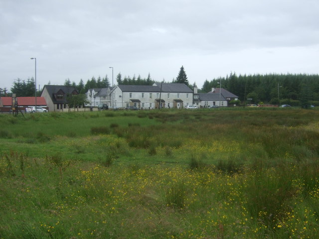
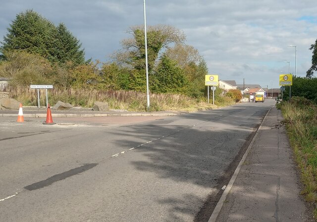
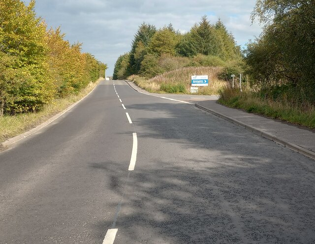
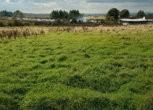
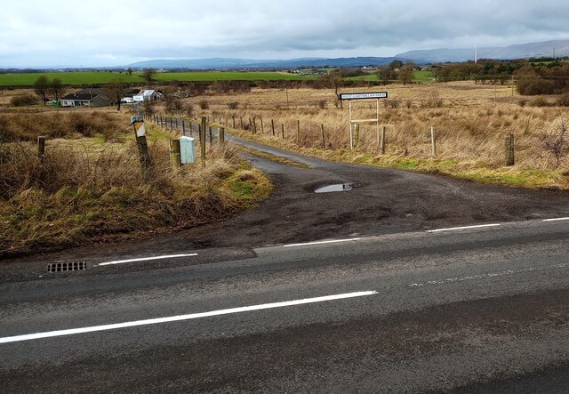
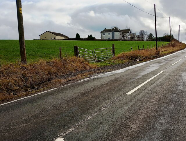
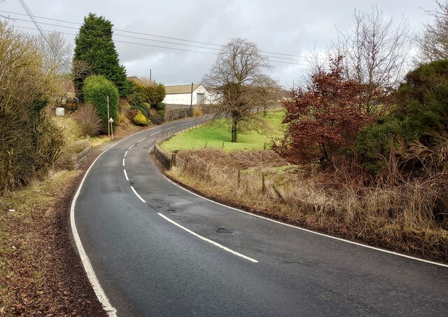
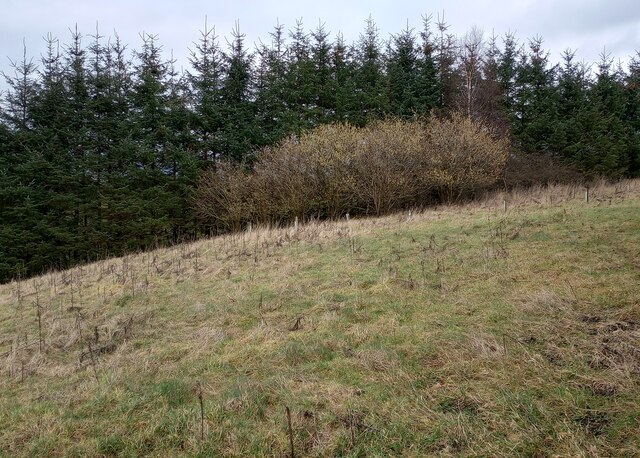
South Bellstane Plantation is a sprawling woodland area located in Lanarkshire, Scotland. Covering an area of approximately 500 acres, it is known for its enchanting beauty and diverse range of flora and fauna. The plantation is situated near the village of Kirkmuirhill and offers a serene escape from the hustle and bustle of city life.
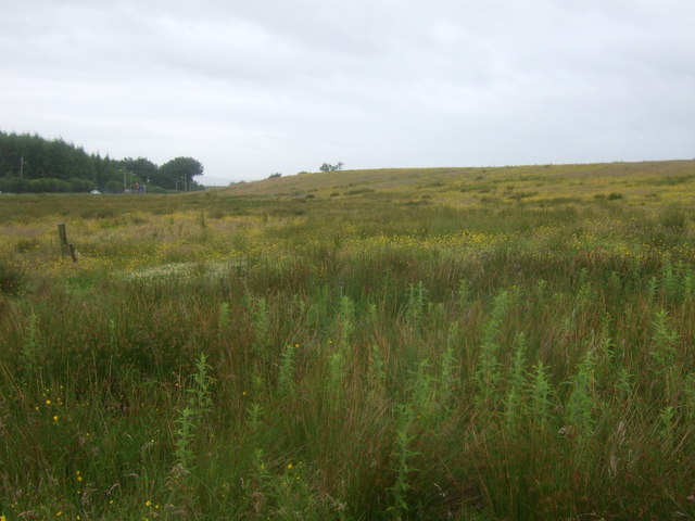
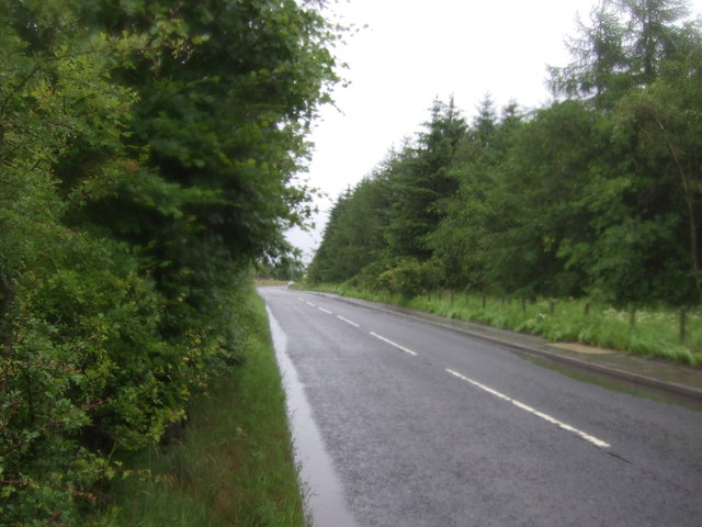
The woodland is predominantly composed of native species such as oak, birch, and rowan, creating a rich tapestry of colors throughout the seasons. The forest floor is adorned with a carpet of wildflowers, adding to its natural charm. The dense canopy provides a haven for various bird species, including woodpeckers, owls, and thrushes, making it a popular destination for birdwatchers.
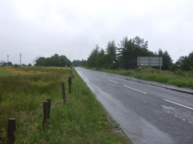
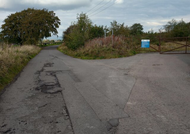
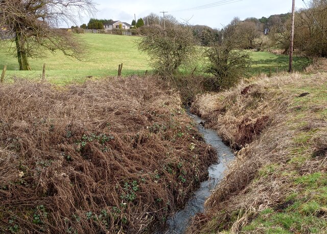
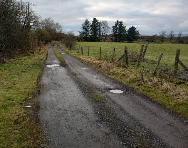
South Bellstane Plantation is crisscrossed by a network of well-maintained trails, enabling visitors to explore its beauty at their own pace. These trails cater to both leisurely walkers and avid hikers, offering routes of varying difficulty. Along the way, walkers may stumble upon hidden streams, small waterfalls, and picturesque viewpoints, further enhancing the experience.
The plantation has a rich history, with evidence of human settlement and land use dating back centuries. Remnants of old stone walls and ruins can be found within the woodland, serving as a reminder of its past. The area is also home to a diverse range of wildlife, including red squirrels, badgers, and deer, which can often be spotted by keen observers.
Overall, South Bellstane Plantation is a haven of tranquility, providing a wonderful opportunity for nature enthusiasts to immerse themselves in the beauty of Lanarkshire's woodlands.
If you have any feedback on the listing, please let us know in the comments section below.
South Bellstane Plantation Images
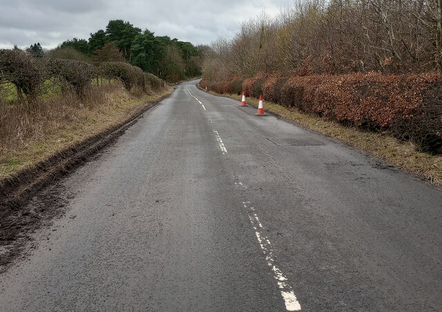
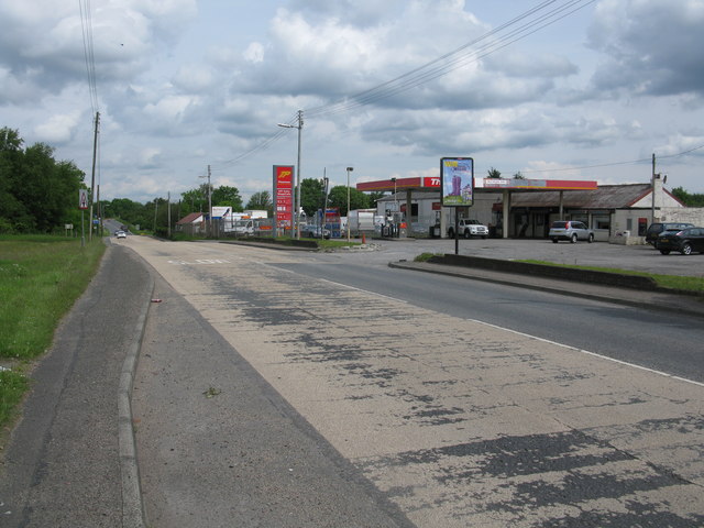
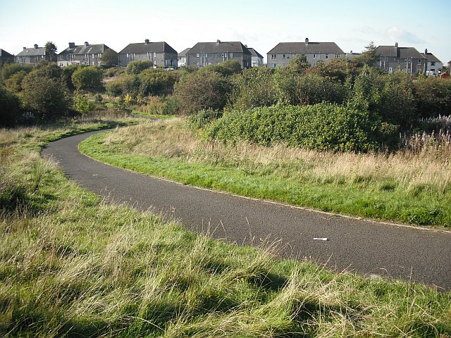
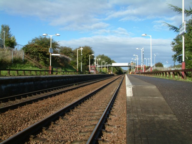
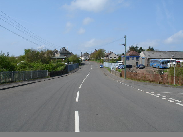
Images are sourced within 2km of 55.911572/-3.9862054 or Grid Reference NS7570. Thanks to Geograph Open Source API. All images are credited.

South Bellstane Plantation is located at Grid Ref: NS7570 (Lat: 55.911572, Lng: -3.9862054)
Unitary Authority: North Lanarkshire
Police Authority: Lanarkshire
What 3 Words
///intervene.debating.riches. Near Glenmavis, North Lanarkshire
Nearby Locations
Related Wikis

Riggend
Riggend is a hamlet in North Lanarkshire, Scotland. It is on the A73 Stirling Road not far from Wattston. == References == == External links == visione...
Wattston
Wattston is a village on the B803, west of Greengairs in North Lanarkshire, Scotland. Between them Wattston and Greengairs have about 1,190 residents....

Blairlinn
Blairlinn is the site of one of Cumbernauld's several industrial estates built as satellite developments on the periphery of the Scottish town's residential...

Luggiebank
Luggiebank is a small village to the south of Cumbernauld. Like Condorrat, Castlecary and Dullatur, it predates the new town of Cumbernauld, and of those...

Revival FM
Revival FM was a British Christian-based community radio station in Scotland, operating under a Community Radio Licence. The station was located in Cumbernauld...
Stand, North Lanarkshire
Stand is a hamlet in North Lanarkshire, Scotland situated on the A73 near Airdrie. Its Ordnance Survey grid reference is NS7668.The village appeared on...
Greenfaulds railway station
Greenfaulds railway station serves the Greenfaulds area of Cumbernauld, North Lanarkshire, Scotland. It is also within walking distance of the Lenziemill...
Greengairs
Greengairs is a village in North Lanarkshire, Scotland. Greengairs is shown on a map by Roy c.1754 under the name of Green Geirs. In toponymy the name...
Nearby Amenities
Located within 500m of 55.911572,-3.9862054Have you been to South Bellstane Plantation?
Leave your review of South Bellstane Plantation below (or comments, questions and feedback).