Mossywood Clumps

Wood, Forest in Lanarkshire

Scotland

Mossywood Clumps

Rough grazing towards Rigghead
Rough grazing towards Rigghead Credit: JThomas

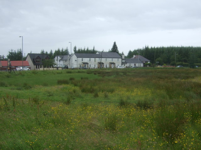
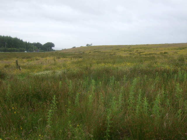
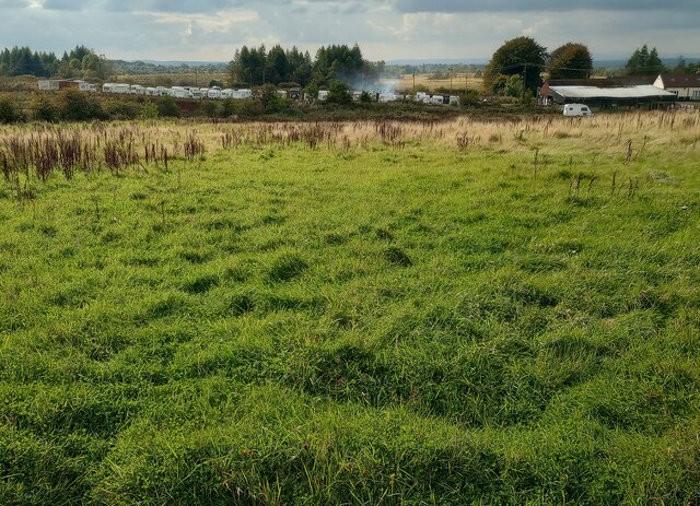
Mossywood Clumps is a picturesque woodland located in Lanarkshire, Scotland. Covering an area of approximately 50 acres, this enchanting forest is renowned for its natural beauty and diverse ecosystem.

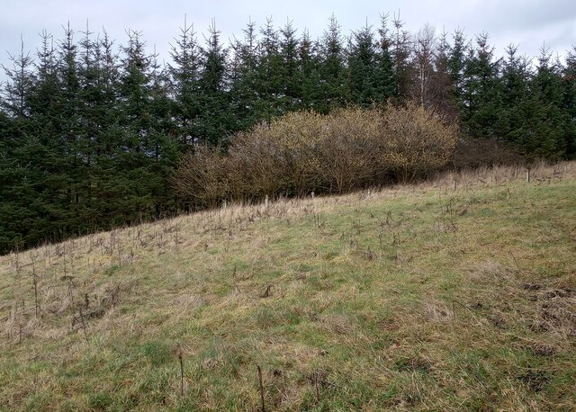
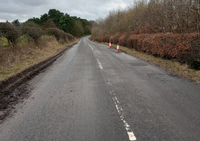
The woodland is predominantly composed of native Scottish tree species, including oak, birch, and Scots pine, which create a dense and lush canopy. The forest floor is adorned with an abundance of mosses and ferns, giving the woodland its distinctive name.

Mossywood Clumps is home to a variety of wildlife, making it a popular destination for nature enthusiasts and birdwatchers. The forest provides a habitat for numerous bird species, such as woodpeckers, owls, and songbirds. Visitors may also spot small mammals like red squirrels and rabbits scurrying through the undergrowth.

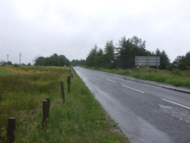
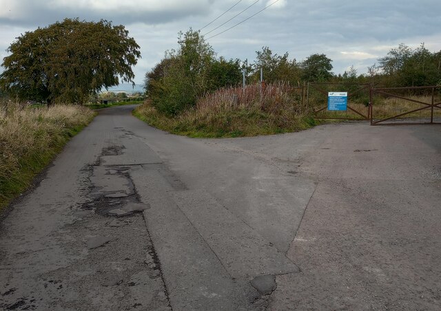
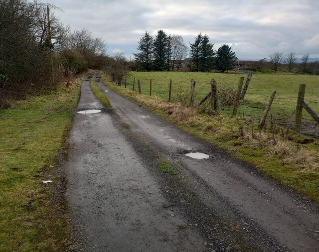
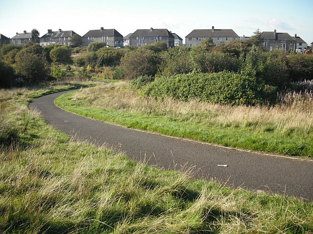
Tranquil walking trails wind their way through the woodland, allowing visitors to immerse themselves in the peaceful ambiance and soak up the natural surroundings. These paths are well-maintained, making them accessible to all visitors, including families and individuals with mobility limitations.

In addition to its natural beauty, Mossywood Clumps also offers recreational facilities, including picnic areas and designated camping spots. These amenities make it an ideal location for day trips or overnight stays, enabling visitors to fully appreciate the tranquility of the forest.

Whether you are seeking an escape from the hustle and bustle of daily life or a chance to explore the wonders of nature, Mossywood Clumps in Lanarkshire is a destination that promises to leave visitors with lasting memories of Scotland's enchanting woodlands.

If you have any feedback on the listing, please let us know in the comments section below.

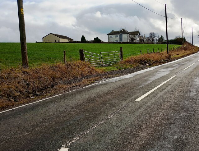
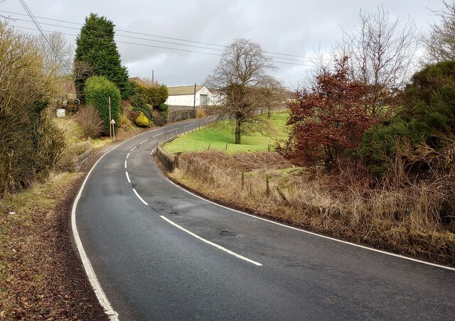
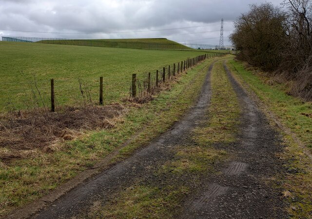
Mossywood Clumps Images

Images are sourced within 2km of 55.910192/-3.9992868 or Grid Reference NS7570. Thanks to Geograph Open Source API. All images are credited.

Rough grazing towards Rigghead
Rough grazing, Rigghead Off Greengairs Road.
Rough grazing, Rigghead
Off Greengairs Road.
Greengairs Road (B803) Looking north east.
Greengairs Road (B803)
Looking north east.
Old Biggar Road Gate on right to former land fill
Old Biggar Road
Gate on right to former land fill
View over rough grazing Caravan storage on other side
View over rough grazing
Caravan storage on other side
Brackenhirst Farm At junction of Condorrat Road and Brackenhirst Road
Brackenhirst Farm
At junction of Condorrat Road and Brackenhirst Road
Shank Burn A tributary of Luggie Water; about to run under Condorrat Road
Shank Burn
A tributary of Luggie Water; about to run under Condorrat Road
Farm entrance off B802 Access to West Gartmillan
Farm entrance off B802
Access to West Gartmillan
Looking up to Arderyth Looking at old maps the house appears to be originally of inter-war date
Looking up to Arderyth
Looking at old maps the house appears to be originally of inter-war date
Entering double bend B802 passing East Gartmillan
Entering double bend
B802 passing East Gartmillan
Track leading to covered reservoir Covered reservoir from another direction <a href="https://www.geograph.org.uk/photo/1625346">NS7568 : Covered reservoir and coal bings at Ryding</a>
Track leading to covered reservoir
Covered reservoir from another direction NS7568 : Covered reservoir and coal bings at Ryding
Signs of Spring Catkins appearing on deciduous trees with darker conifers behind
Signs of Spring
Catkins appearing on deciduous trees with darker conifers behind
Brackenhirst Road Recent patching work evident
Brackenhirst Road
Recent patching work evident
Farm access road Leading from A73 to Stand Farm
Farm access road
Leading from A73 to Stand Farm
Cleddans This was taken from the walled garden.
Cleddans
This was taken from the walled garden.
Ceiling rose within Cleddans Showing quality bronze and gold finishing on all 4 cartouches, within the ovoids representing 4 stones emerald, lapis lazuli, ruby, diamond.
Ceiling rose within Cleddans
Showing quality bronze and gold finishing on all 4 cartouches, within the ovoids representing 4 stones emerald, lapis lazuli, ruby, diamond.
Stables near Cleddans from the air Stables and gallops on Yetts Hole Road near Cleddans House.
Stables near Cleddans from the air
Stables and gallops on Yetts Hole Road near Cleddans House.
Cleddans from the air Low mid-winter sun creating long shadows and revealing the contours of the land.
Cleddans from the air
Low mid-winter sun creating long shadows and revealing the contours of the land.
Show me another place!

Mossywood Clumps is located at Grid Ref: NS7570 (Lat: 55.910192, Lng: -3.9992868)

Unitary Authority: North Lanarkshire

Police Authority: Lanarkshire

What 3 Words

///envoy.hometown.youths. Near Glenmavis, North Lanarkshire

Related Wikis

Riggend

Riggend is a hamlet in North Lanarkshire, Scotland. It is on the A73 Stirling Road not far from Wattston. == References == == External links == visione...

Blairlinn

Blairlinn is the site of one of Cumbernauld's several industrial estates built as satellite developments on the periphery of the Scottish town's residential...

Stand, North Lanarkshire

Stand is a hamlet in North Lanarkshire, Scotland situated on the A73 near Airdrie. Its Ordnance Survey grid reference is NS7668. The village appeared on...

Wattston

Wattston is a village on the B803, west of Greengairs in North Lanarkshire, Scotland. Between them Wattston and Greengairs have about 1,190 residents....

Nearby Amenities

Located within 500m of 55.910192,-3.9992868
North Shank(site of)
Place: locality
Lat/Long: 55.9134505/-3.9950005
Black Craig
Natural: peak
Lat/Long: 55.9088258/-4.0053165
Power: pole
Lat/Long: 55.9062331/-3.9956913
Power: pole
Lat/Long: 55.9069069/-3.9953621
Power: pole
Lat/Long: 55.9077184/-3.9950122
Power: pole
Lat/Long: 55.9084132/-3.994708
Power: pole
Lat/Long: 55.9086958/-3.9942414
Power: pole
Lat/Long: 55.9094255/-3.9945809
Power: pole
Lat/Long: 55.9099837/-3.9942351
Power: pole
Lat/Long: 55.9103316/-3.9929519
Power: pole
Lat/Long: 55.9108057/-3.9929831
Power: pole
Lat/Long: 55.911421/-3.9938393
Power: pole
Lat/Long: 55.9116498/-4.0064239
Power: pole
Lat/Long: 55.9117759/-4.0053115
Power: pole
Lat/Long: 55.9119651/-4.0037574
Power: pole
Lat/Long: 55.9121297/-4.0023658
Power: pole
Lat/Long: 55.9122978/-4.0009534
Power: pole
Lat/Long: 55.9124694/-3.9995473
Power: pole
Lat/Long: 55.9126469/-3.9986682
Power: pole
Lat/Long: 55.9128092/-3.9978474
Power: pole
Lat/Long: 55.9130602/-3.9965683
Power: pole
Lat/Long: 55.9132085/-3.9958704
Power: pole
Lat/Long: 55.9135272/-3.9942851
The data included in this document is from www.openstreetmap.org. The data is made available under ODbL.

Have you been to Mossywood Clumps?

Leave your review of Mossywood Clumps below (or comments, questions and feedback).