Douglas Glen
Valley in Lanarkshire
Scotland
Douglas Glen
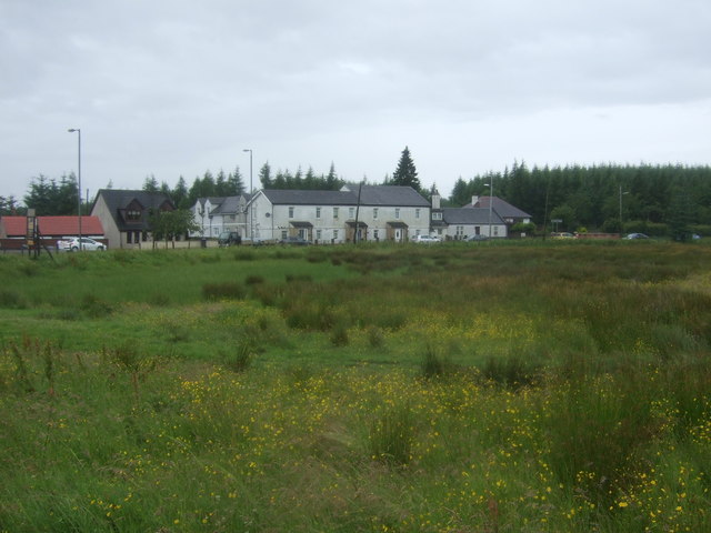
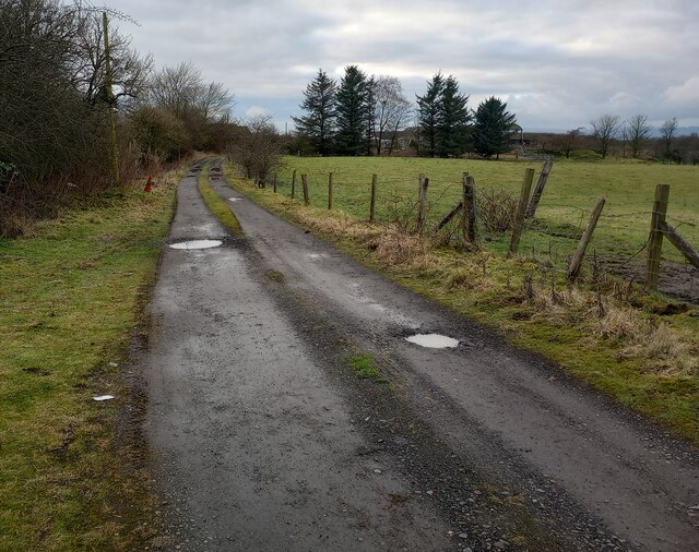
Douglas Glen, located in the heart of Lanarkshire Valley, is a picturesque and charming village renowned for its natural beauty and historical significance. Nestled amidst rolling hills and lush green landscapes, this rural community offers a peaceful and idyllic setting for residents and visitors alike.
One of the standout features of Douglas Glen is its rich history, dating back several centuries. The village boasts a number of well-preserved historical sites, including the ruins of Douglas Castle. This medieval fortress, once home to the powerful Douglas family, offers a fascinating glimpse into the region's past.
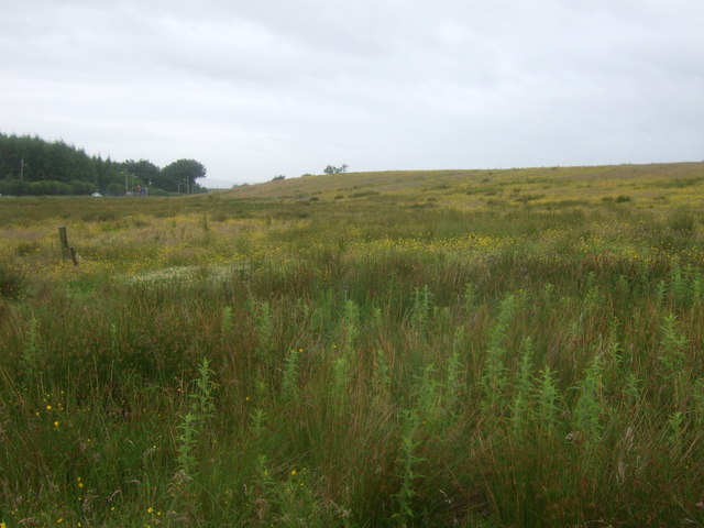
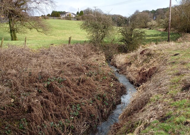
In addition to its historical attractions, Douglas Glen is also known for its outdoor recreational opportunities. The surrounding countryside provides ample opportunities for hiking, biking, and exploring, with several nature trails and parks in close proximity. The nearby Douglas Water, a clear and babbling stream, is a popular spot for fishing and picnicking.
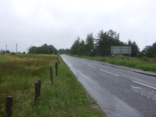
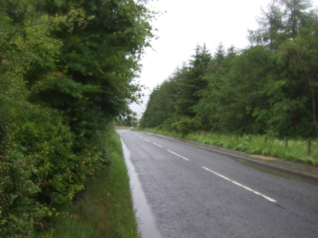
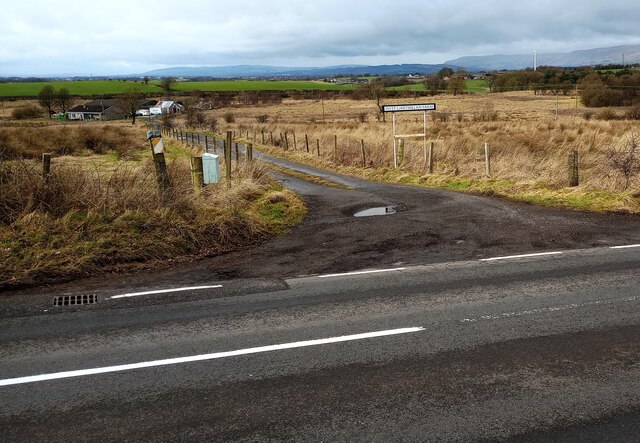
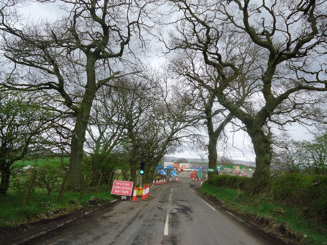
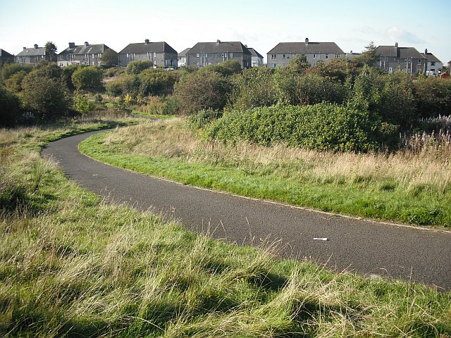
Despite its rural setting, Douglas Glen is well-connected to the wider region. The village has a small but vibrant community, with essential amenities such as shops, cafes, and a primary school. Nearby towns and cities, including Lanark and Glasgow, are easily accessible by road and public transport.
Overall, Douglas Glen offers a unique blend of history, natural beauty, and community spirit. Whether you're interested in delving into the past, immersing yourself in nature, or simply enjoying the tranquility of village life, Douglas Glen is a destination worth exploring.
If you have any feedback on the listing, please let us know in the comments section below.
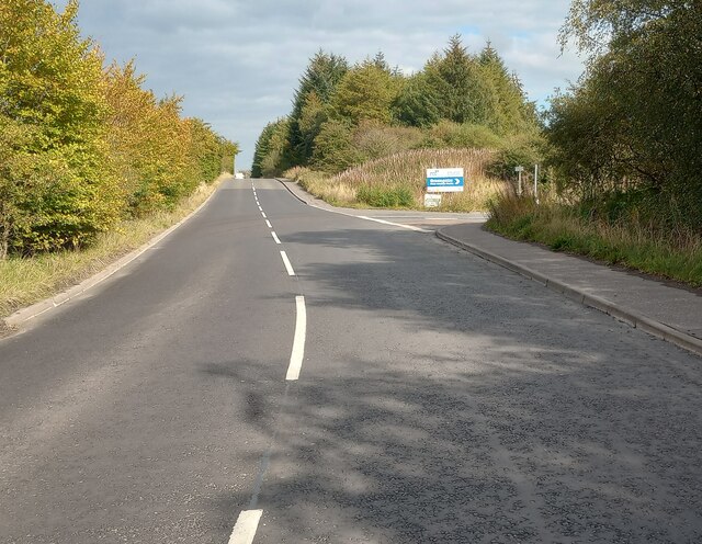
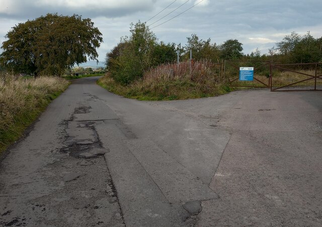
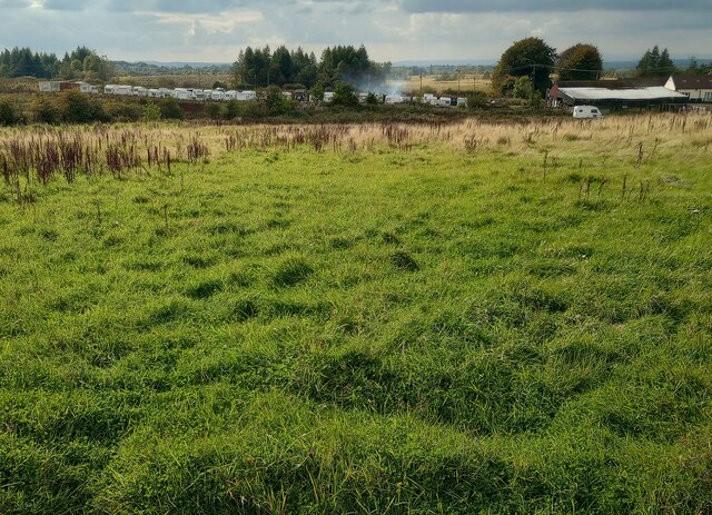
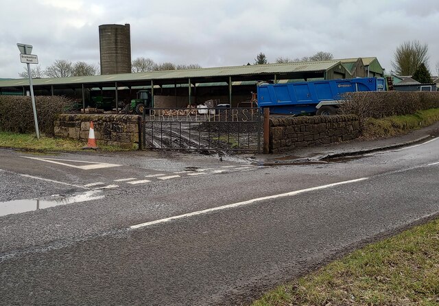
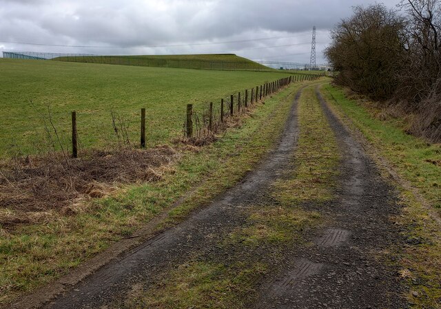
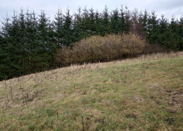
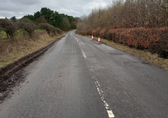
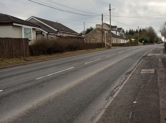
Douglas Glen Images
Images are sourced within 2km of 55.910934/-3.9945729 or Grid Reference NS7570. Thanks to Geograph Open Source API. All images are credited.
Douglas Glen is located at Grid Ref: NS7570 (Lat: 55.910934, Lng: -3.9945729)
Unitary Authority: North Lanarkshire
Police Authority: Lanarkshire
What 3 Words
///slept.glassware.materials. Near Glenmavis, North Lanarkshire
Nearby Locations
Related Wikis

Riggend
Riggend is a hamlet in North Lanarkshire, Scotland. It is on the A73 Stirling Road not far from Wattston. == References == == External links == visione...

Blairlinn
Blairlinn is the site of one of Cumbernauld's several industrial estates built as satellite developments on the periphery of the Scottish town's residential...
Wattston
Wattston is a village on the B803, west of Greengairs in North Lanarkshire, Scotland. Between them Wattston and Greengairs have about 1,190 residents....

Luggiebank
Luggiebank is a small village to the south of Cumbernauld. Like Condorrat, Castlecary and Dullatur, it predates the new town of Cumbernauld, and of those...

Revival FM
Revival FM was a British Christian-based community radio station in Scotland, operating under a Community Radio Licence. The station was located in Cumbernauld...
Stand, North Lanarkshire
Stand is a hamlet in North Lanarkshire, Scotland situated on the A73 near Airdrie. Its Ordnance Survey grid reference is NS7668.The village appeared on...
Greenfaulds railway station
Greenfaulds railway station serves the Greenfaulds area of Cumbernauld, North Lanarkshire, Scotland. It is also within walking distance of the Lenziemill...

Glenmavis
Glenmavis is a village in the North Lanarkshire area of Scotland. It is about two miles (three kilometres) northwest of Airdrie on the B802 road. It has...
Nearby Amenities
Located within 500m of 55.910934,-3.9945729Have you been to Douglas Glen?
Leave your review of Douglas Glen below (or comments, questions and feedback).