Kilbryde Glen
Valley in Perthshire
Scotland
Kilbryde Glen
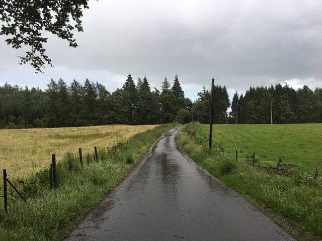
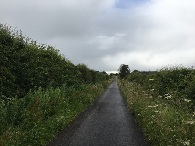
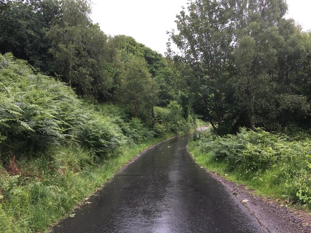
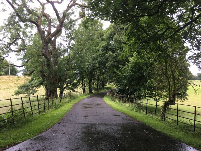
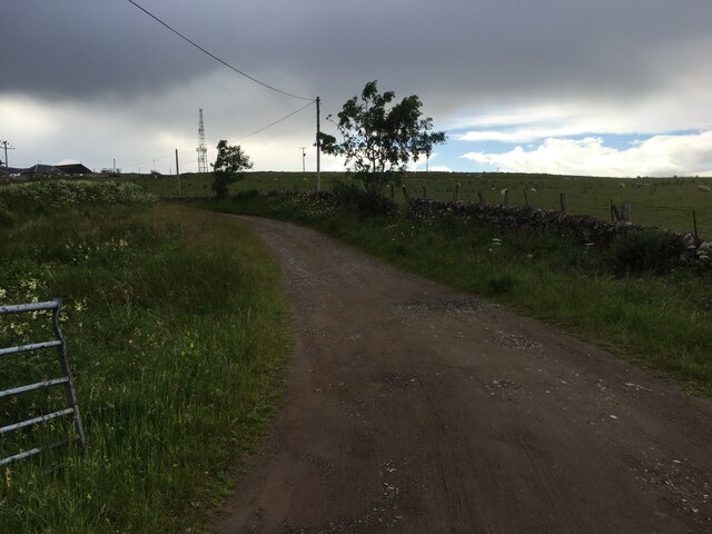
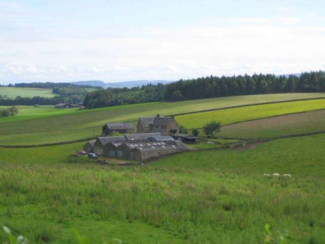
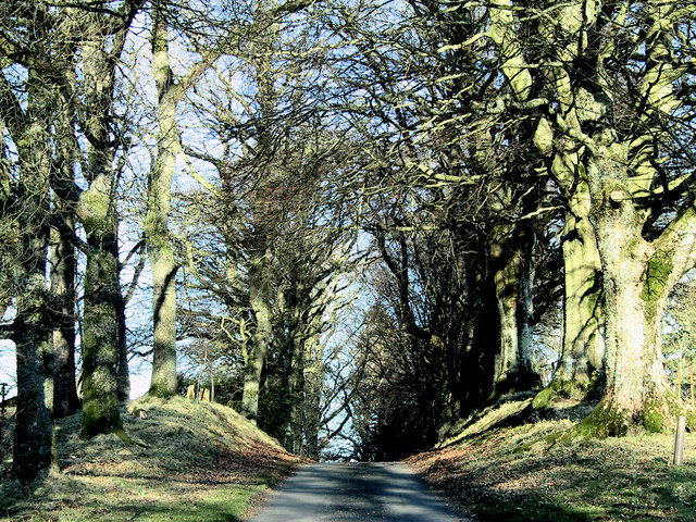
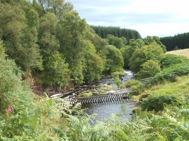
Kilbryde Glen is a picturesque valley located in Perthshire, Scotland. Stretching for approximately three miles, this glen is renowned for its natural beauty and tranquil atmosphere. Nestled between rolling hills and surrounded by lush greenery, it offers a peaceful retreat for visitors seeking solace in nature.
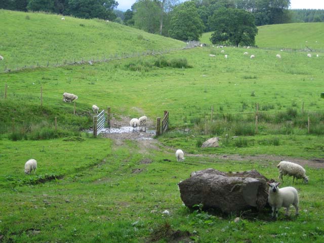
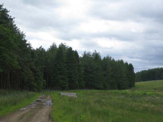
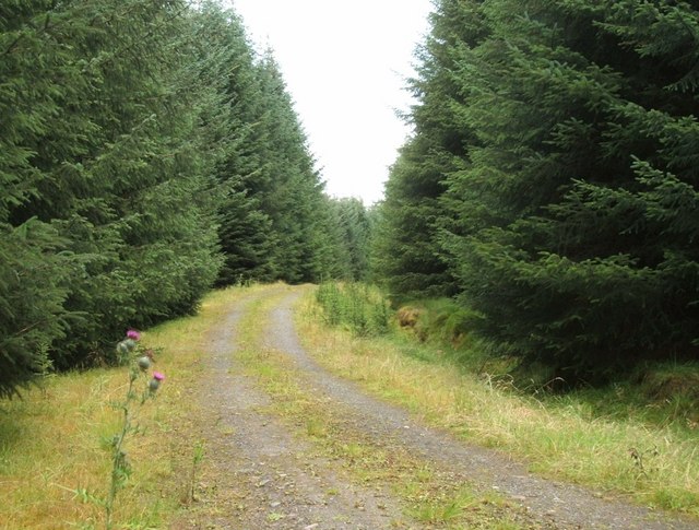
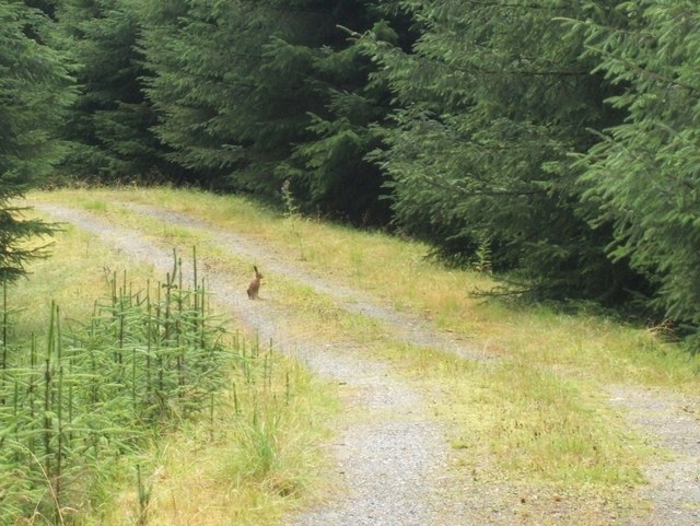
The glen is characterized by a meandering river that flows through its heart, adding to its scenic charm. The crystal-clear waters of the river are home to various species of fish and provide a habitat for a diverse range of wildlife, including otters and kingfishers. The glen’s rich biodiversity is further enhanced by the presence of ancient oak and birch woodlands, which provide a haven for numerous bird species and other small creatures.
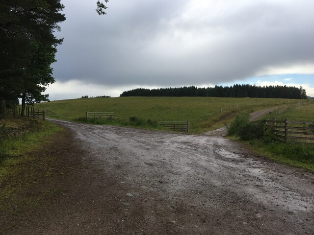
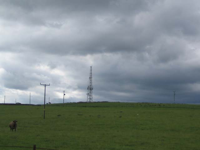
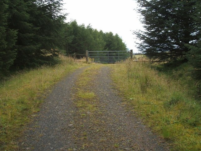
Kilbryde Glen is a popular destination for outdoor enthusiasts and nature lovers. It offers numerous walking trails that wind their way through the glen, allowing visitors to explore its beauty at their own pace. These trails cater to all abilities, ranging from gentle strolls along the riverbank to more challenging hikes up the surrounding hills. Along the way, walkers are treated to breathtaking views of the valley and the surrounding landscape.
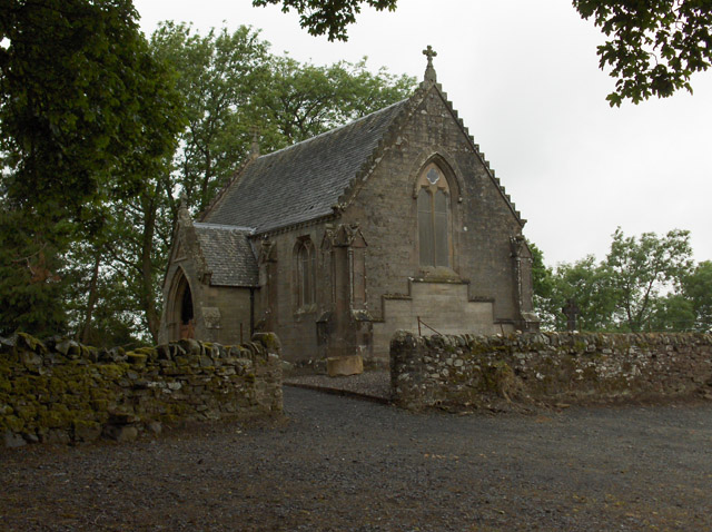
The glen is also home to several well-preserved archaeological sites, including ancient burial grounds and standing stones, providing a glimpse into the area’s rich history. Additionally, the glen boasts a quaint picnic area, where visitors can relax and enjoy a meal amidst the tranquil surroundings.
Overall, Kilbryde Glen in Perthshire is a captivating natural wonder, offering visitors a chance to connect with nature and experience the beauty of the Scottish countryside.
If you have any feedback on the listing, please let us know in the comments section below.
Kilbryde Glen Images
Images are sourced within 2km of 56.213975/-4.0088036 or Grid Reference NN7504. Thanks to Geograph Open Source API. All images are credited.

Kilbryde Glen is located at Grid Ref: NN7504 (Lat: 56.213975, Lng: -4.0088036)
Unitary Authority: Stirling
Police Authority: Forth Valley
What 3 Words
///position.toothpick.texted. Near Doune, Stirling
Nearby Locations
Related Wikis

Kilbryde Castle
Kilbryde Castle is a castellated Scottish castle in the Scots baronial style. The castle lies on the A820 between Doune and Dunblane in southern Perthshire...

Argaty
Argaty is a farm estate located just over a mile northeast of Doune, Stirling, Scotland. The present Argaty House dates from the 19th century with baronial...

Ashfield, Stirling
Ashfield (Scottish Gaelic: Achadh an Uinnsinn) is a small village in the Registration county of Perth and the local government district of Stirling, Scotland...

Cromlix House
Cromlix is a five star country house hotel near Kinbuck, Stirlingshire, Scotland. It was constructed as a Victorian mansion, then first operated as a hotel...
Nearby Amenities
Located within 500m of 56.213975,-4.0088036Have you been to Kilbryde Glen?
Leave your review of Kilbryde Glen below (or comments, questions and feedback).