Cwm Bychan
Valley in Merionethshire
Wales
Cwm Bychan
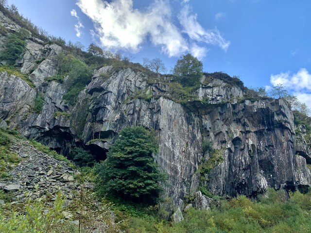
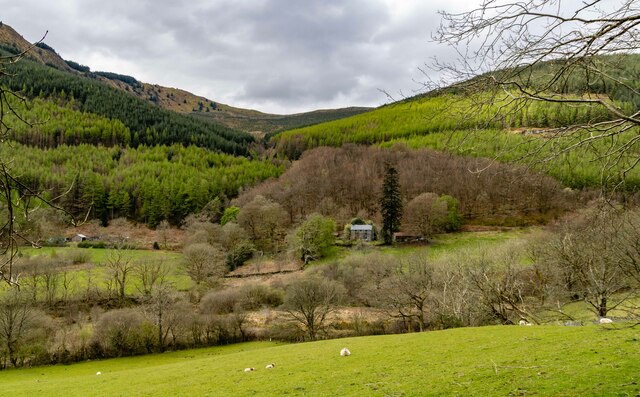
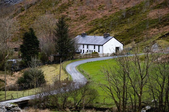
Cwm Bychan is a picturesque valley located in the historic county of Merionethshire, Wales. Nestled within the Snowdonia National Park, it is surrounded by majestic mountains, lush greenery, and tranquil lakes, making it a popular destination for nature enthusiasts and hikers.
The valley is situated approximately 6 miles west of the town of Blaenau Ffestiniog and can be accessed via a narrow road that winds its way through the stunning countryside. As visitors enter Cwm Bychan, they are greeted by the awe-inspiring sight of towering peaks such as Moelwyn Mawr and Cnicht.
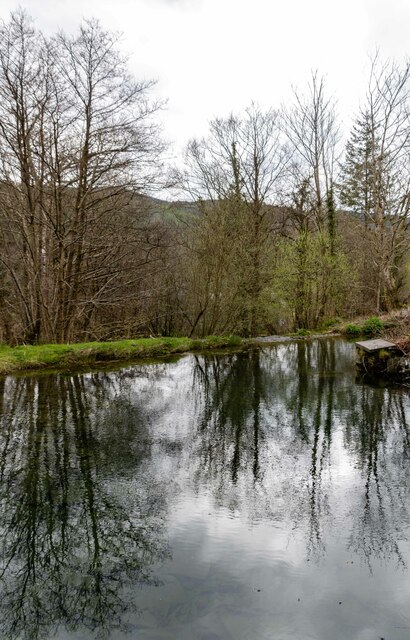
One of the main attractions of Cwm Bychan is its remote and unspoiled nature. The valley is home to a variety of wildlife, including red deer, buzzards, and numerous species of birds. The meandering Afon Cwm Bychan river flows through the valley, adding to its charm and creating a peaceful atmosphere.
The valley offers a range of outdoor activities for visitors to enjoy. Hikers can explore the numerous trails that crisscross the area, leading them to hidden waterfalls, ancient ruins, and breathtaking viewpoints. Fishing enthusiasts can try their luck in the river, which is known for its abundance of trout.
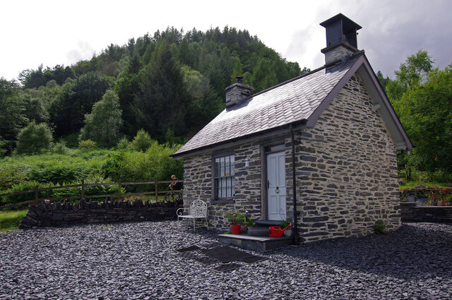
Cwm Bychan also provides camping and picnic areas for those who wish to immerse themselves in the beauty of the surroundings. Additionally, there are several charming cottages and guesthouses in the area, offering accommodation for those who want to extend their stay and fully experience the tranquility of the valley.
Overall, Cwm Bychan is a captivating valley that showcases the natural beauty of the Welsh countryside. Its breathtaking landscapes, abundant wildlife, and range of outdoor activities make it a must-visit destination for nature lovers and those seeking a peaceful retreat.
If you have any feedback on the listing, please let us know in the comments section below.
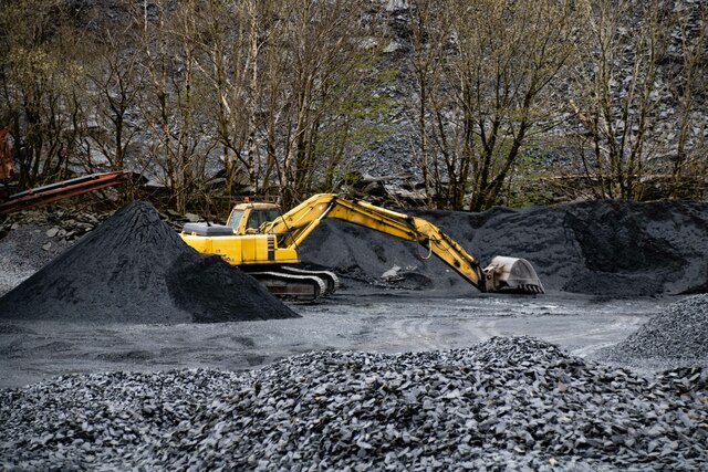
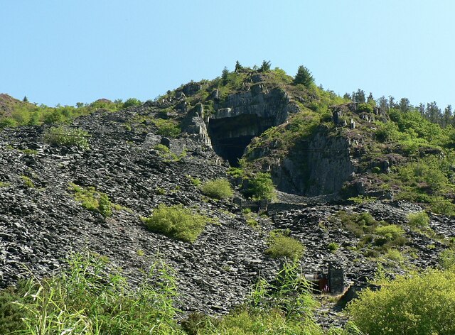
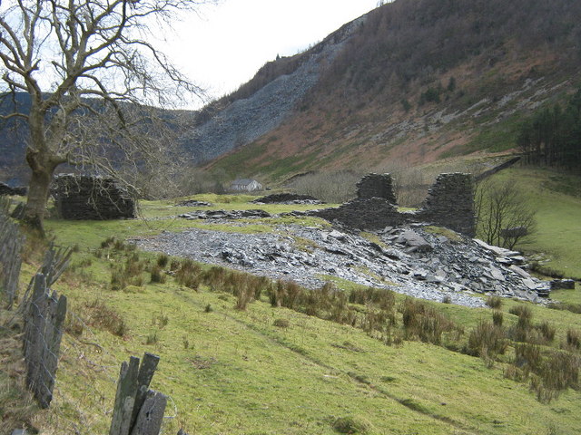
Cwm Bychan Images
Images are sourced within 2km of 52.68273/-3.8444047 or Grid Reference SH7511. Thanks to Geograph Open Source API. All images are credited.


Cwm Bychan is located at Grid Ref: SH7511 (Lat: 52.68273, Lng: -3.8444047)
Unitary Authority: Gwynedd
Police Authority: North Wales
What 3 Words
///expired.renamed.upward. Near Corris, Gwynedd
Nearby Locations
Related Wikis
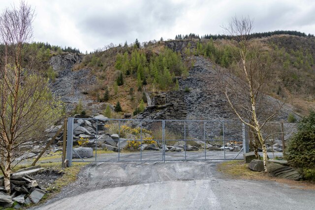
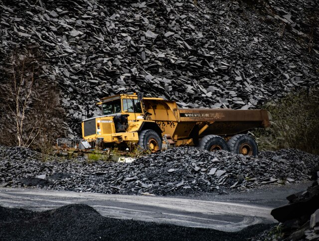
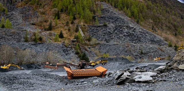
Cambergi quarry
Cambergi quarry (also known as Wenallt quarry) was a slate quarry in Cwm Hengae, west of Aberllefenni in North Wales. It operated between 1873 and about...

Mynydd Cambergi
Mynydd Cambergi or Mynydd Cam-bergi is a mountain in southern Snowdonia, Wales. It is a summit on a long ridge between Mynydd y Waun to the north and Foel...

Aberllefenni quarries
Aberllefenni quarry is the collective name of three slate quarries, Foel Grochan, Hen Gloddfa (also known as Hen Chwarel) and Ceunant Ddu, located in Cwm...

Narrow Vein Mudstone Formation
The Narrow Vein Mudstone Formation (commonly known as the Narrow Vein) is an Ordovician lithostratigraphic group (a sequence of rock strata) in Mid Wales...
Nearby Amenities
Located within 500m of 52.68273,-3.8444047Have you been to Cwm Bychan?
Leave your review of Cwm Bychan below (or comments, questions and feedback).