Maqueston Wood
Wood, Forest in Dumfriesshire
Scotland
Maqueston Wood
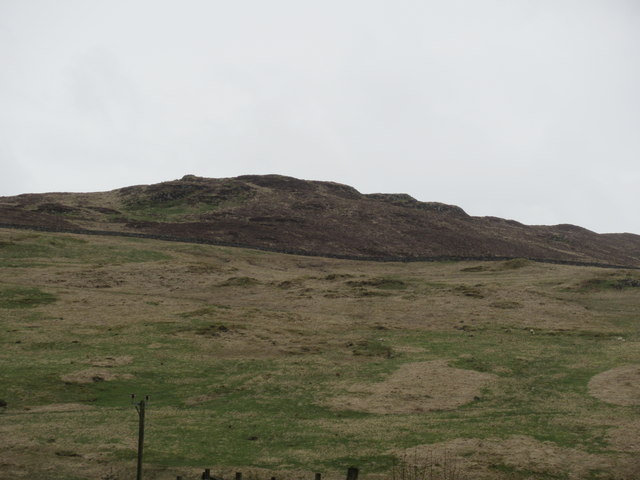
Maqueston Wood is a picturesque forest located in Dumfriesshire, Scotland. Spanning over a vast area, this woodland is known for its breathtaking beauty and serene atmosphere. The forest is situated in close proximity to the town of Maqueston, adding to its accessibility and popularity among locals and tourists alike.
The wood is predominantly composed of native Scottish tree species, including oak, birch, and pine, which create a rich and diverse ecosystem. The lush greenery and dense foliage provide habitat for a wide variety of wildlife, making it a haven for nature enthusiasts and birdwatchers. Some of the common species that can be spotted here include red squirrels, roe deer, and a myriad of bird species.
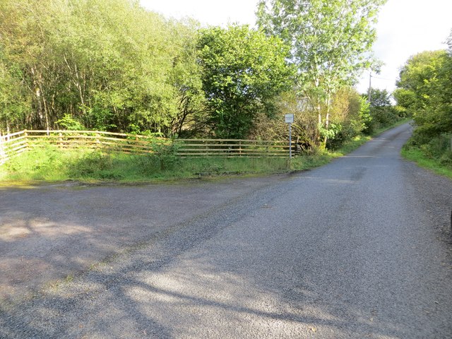
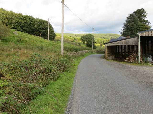
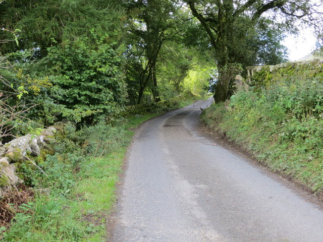
Maqueston Wood offers several well-marked trails, allowing visitors to explore the forest at their own pace. These trails cater to all levels of hikers, from leisurely strolls to more challenging hikes. Along the way, hikers can enjoy breathtaking views of the surrounding countryside and may even stumble upon hidden streams and small waterfalls.
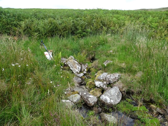
In addition to its natural beauty, Maqueston Wood also boasts historical and cultural significance. The forest is home to ancient ruins and archaeological sites, dating back to medieval times. These remnants provide a glimpse into the area's rich history and add an element of intrigue to the woodland.
Overall, Maqueston Wood is a must-visit destination for nature enthusiasts, history buffs, and anyone seeking tranquility amidst Scotland's stunning landscapes. It offers a unique blend of natural beauty, wildlife, and historical significance, making it a truly unforgettable experience for all who venture into its embrace.
If you have any feedback on the listing, please let us know in the comments section below.
Maqueston Wood Images
Images are sourced within 2km of 55.247252/-3.9612871 or Grid Reference NX7596. Thanks to Geograph Open Source API. All images are credited.


Maqueston Wood is located at Grid Ref: NX7596 (Lat: 55.247252, Lng: -3.9612871)
Unitary Authority: Dumfries and Galloway
Police Authority: Dumfries and Galloway
What 3 Words
///shortcuts.clown.money. Near Thornhill, Dumfries & Galloway
Nearby Locations
Related Wikis

Carsphairn and Scaur Hills
The Carsphairn and Scaur Hills are the western and eastern hills respectively of a hill range in the Southern Uplands of Scotland. Ordnance Survey maps...

Craigdarroch
"Craigdarroch, An Accessory to Murder" is an expansion set for the board game Kill Doctor Lucky Craigdarroch is a house near Moniaive, Dumfries and Galloway...

Moniaive
Moniaive ( 'monny-IVE'; Scottish Gaelic: Am Moine Naomh, "The Holy Moor") is a village in the Parish of Glencairn, in Dumfries and Galloway, southwest...

Tynron
Tynron is a village and civil parish in Dumfries and Galloway, south-west Scotland, lying in a hollow of the Shinnel Water, 2 miles (3.2 km) from Moniaive...
Nearby Amenities
Located within 500m of 55.247252,-3.9612871Have you been to Maqueston Wood?
Leave your review of Maqueston Wood below (or comments, questions and feedback).