Coille na Cnapaiche
Wood, Forest in Inverness-shire
Scotland
Coille na Cnapaiche

Coille na Cnapaiche, located in Inverness-shire, Scotland, is a picturesque wood or forest renowned for its natural beauty and diverse ecosystem. Covering a vast area, Coille na Cnapaiche offers visitors a tranquil escape from the hustle and bustle of everyday life.
The forest boasts a rich variety of tree species, including native Scots pine, birch, oak, and rowan. These trees provide a vibrant tapestry of colors throughout the seasons, with lush green foliage in the summer and a delightful display of autumnal hues in the fall. The wood is also home to a wide array of flora and fauna, making it a haven for nature enthusiasts and wildlife lovers.
Visitors to Coille na Cnapaiche can explore the forest through a network of well-maintained footpaths and trails. These paths wind their way through the woodland, offering breathtaking views of the surrounding landscape. The forest is a popular destination for hiking, walking, and photography, allowing visitors to immerse themselves in the serene beauty of nature.
In addition to its natural attractions, Coille na Cnapaiche is also steeped in history and folklore. The forest has been a source of inspiration for artists and writers throughout the years, with its enchanting atmosphere and mystical charm. It is said that the wood is home to mythical creatures and ancient legends, adding an element of intrigue to its already captivating allure.
Whether you are seeking solace in nature, exploring the local wildlife, or simply enjoying a leisurely stroll, Coille na Cnapaiche offers an unforgettable experience for all who visit. Its unspoiled beauty and serene atmosphere make it a true gem in the heart of Inverness-shire.
If you have any feedback on the listing, please let us know in the comments section below.
Coille na Cnapaiche Images
Images are sourced within 2km of 57.06559/-4.0563684 or Grid Reference NN7599. Thanks to Geograph Open Source API. All images are credited.


Coille na Cnapaiche is located at Grid Ref: NN7599 (Lat: 57.06559, Lng: -4.0563684)
Unitary Authority: Highland
Police Authority: Highlands and Islands
What 3 Words
///though.smashes.shoelaces. Near Kingussie, Highland
Nearby Locations
Related Wikis

Ruthven, Badenoch
Ruthven (Scottish Gaelic: Ruadhainn) is a former settlement in Badenoch, in the Highland council area, Scotland. It lies 0.5 miles (0.80 km) south of Kingussie...

The Dell, Kingussie
The Dell is a shinty stadium in the town of Kingussie, Scotland. It is the home of Kingussie Camanachd and has been a shinty venue for almost 150 years...

Ruthven Barracks
Ruthven Barracks (), near Ruthven in Badenoch, Scotland, are the best preserved of the four barracks built in 1719 after the 1715 Jacobite rising. Set...

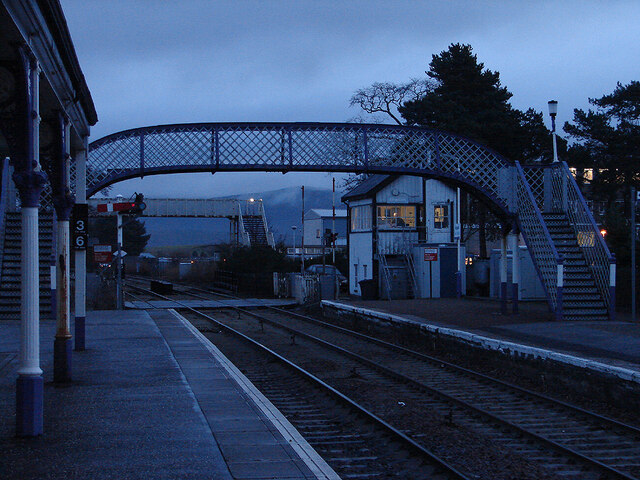
Kingussie railway station
Kingussie railway station serves the town of Kingussie, Inverness-shire in the Highland Council Area of Scotland. The station is managed by ScotRail and...
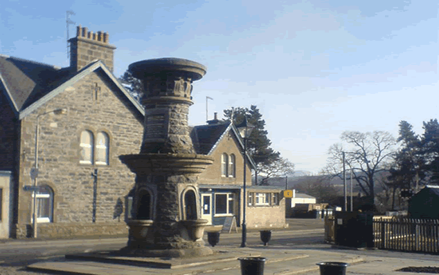
Kingussie
Kingussie ( king-YOO-see; Scottish Gaelic: Ceann a' Ghiùthsaich pronounced [ˈkʲʰaun̪ˠə ˈʝuːs̪ɪç]) is a small town in the Badenoch and Strathspey ward...

St Vincent's Hospital, Kingussie
St Vincent's Hospital is a former health facility located in Kingussie, Scotland. The site was closed in 2021 due to the opening of the Badenoch and Strathspey...

Creag Bheag
Creag Bheag is a prominent hill in Scotland. == Etymology == The word Creag is a variation of crag (rock), while the gaelic term Bheag can be translated...
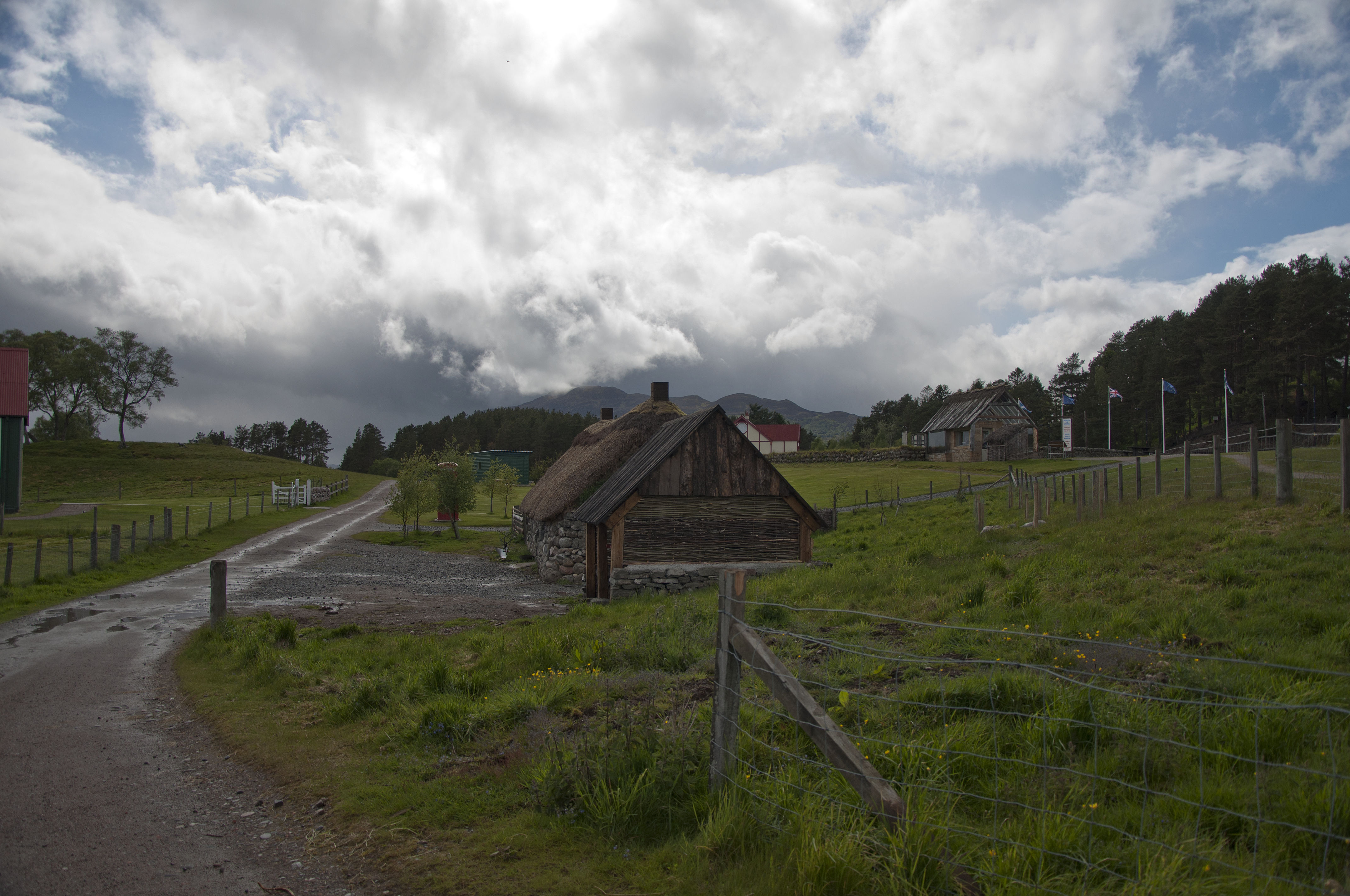
Highland Folk Museum
The Highland Folk Museum is a museum and an open-air visitor attraction in Newtonmore in Badenoch and Strathspey in the Scottish Highlands, United Kingdom...
Nearby Amenities
Located within 500m of 57.06559,-4.0563684Have you been to Coille na Cnapaiche?
Leave your review of Coille na Cnapaiche below (or comments, questions and feedback).