Wellington Wood

Wood, Forest in Kirkcudbrightshire

Scotland

Wellington Wood

Grassland near Bellrigg Typical Galloway scenery with lush pastures near Bellrigg Farm.
Grassland near Bellrigg Credit: Gordon Hatton

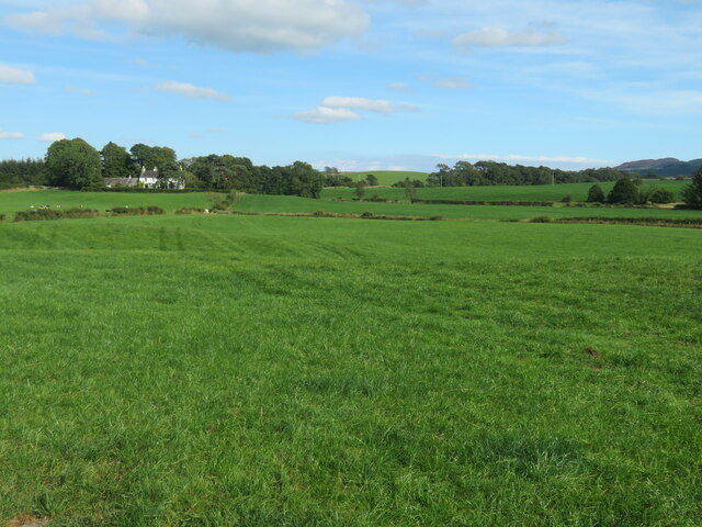
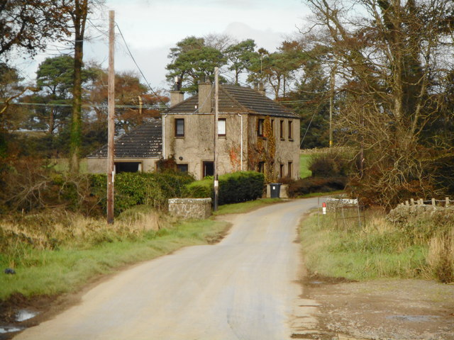
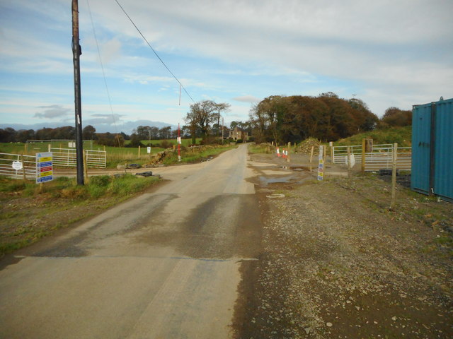
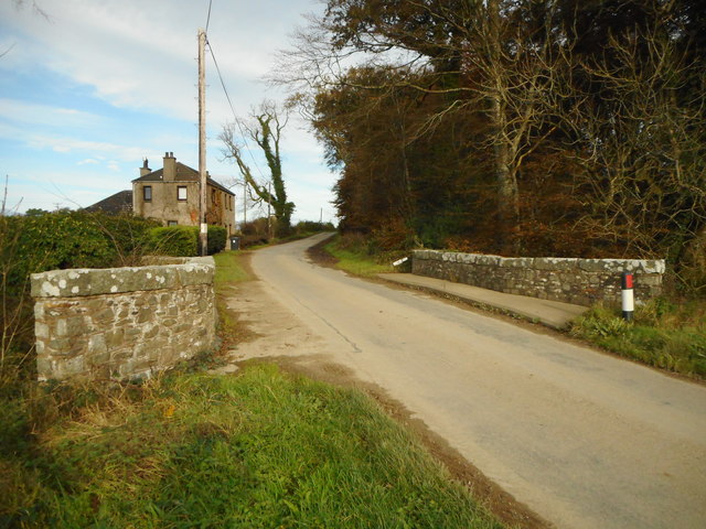
Wellington Wood is a picturesque woodland located in Kirkcudbrightshire, Scotland. Covering an area of approximately 50 acres, this enchanting forest is a nature lover's paradise. The wood is situated near the village of Gatehouse of Fleet and offers a tranquil escape from the hustle and bustle of everyday life.

The woodland is primarily composed of native broadleaf trees such as oak, birch, and beech, creating a rich and diverse ecosystem. The dense canopy provides shade, making it a delightful place to stroll on a sunny day. The forest floor is adorned with a carpet of wildflowers, adding a splash of color to the landscape.

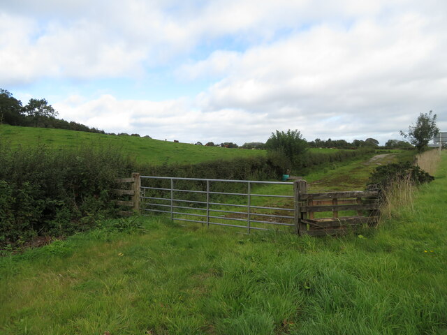
Wellington Wood is home to a wide range of wildlife, including deer, red squirrels, and various species of birds. Birdwatchers will be delighted to spot woodland birds such as woodpeckers, thrushes, and owls. There are also several designated walking trails within the wood, allowing visitors to explore its beauty at their own pace.

In addition to its natural beauty, Wellington Wood has historical significance. It was named after the Duke of Wellington, who is said to have planted some of the first trees in the woodland. This connection to the past adds an extra layer of charm to the area.

Whether you are seeking a peaceful retreat, a chance to spot wildlife, or simply an opportunity to immerse yourself in nature, Wellington Wood is a must-visit destination in Kirkcudbrightshire.

If you have any feedback on the listing, please let us know in the comments section below.

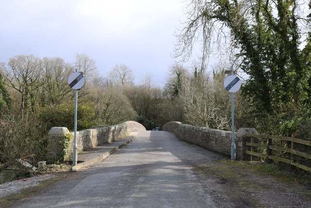
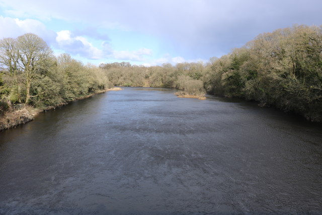
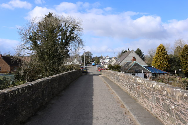
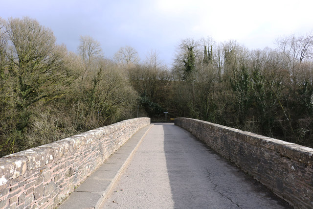
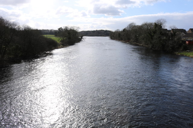
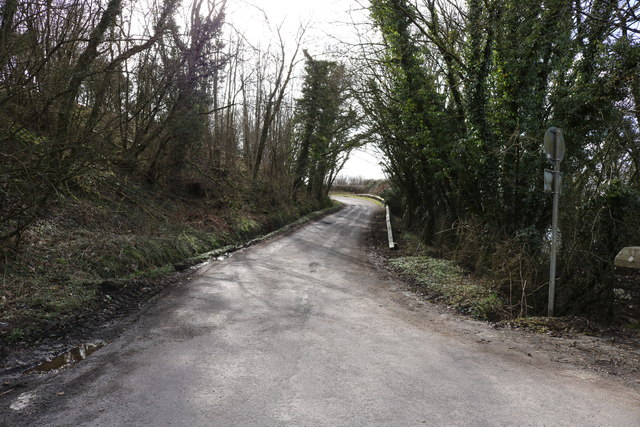
Wellington Wood Images

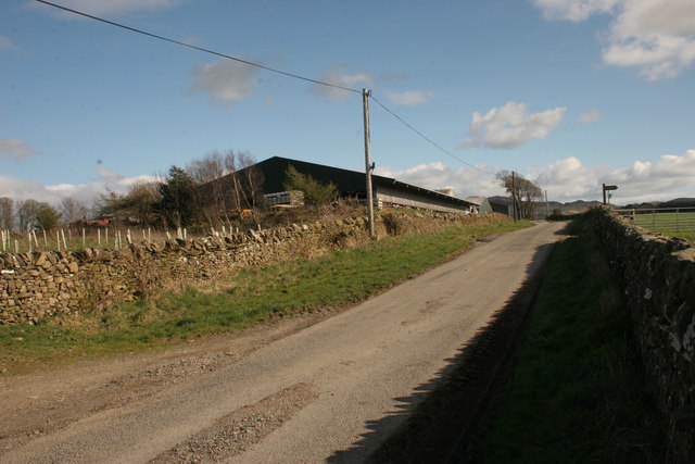
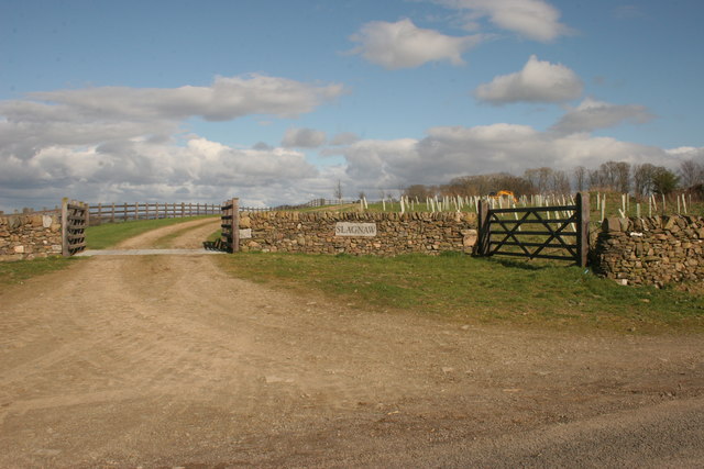
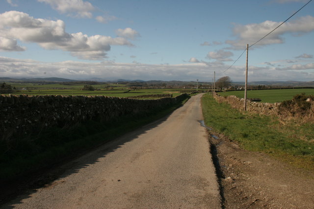
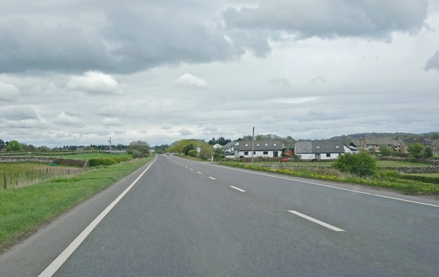
Images are sourced within 2km of 54.91157/-3.9853155 or Grid Reference NX7259. Thanks to Geograph Open Source API. All images are credited.

Grassland near Bellrigg Typical Galloway scenery with lush pastures near Bellrigg Farm.
Grassland near Bellrigg
Typical Galloway scenery with lush pastures near Bellrigg Farm.
Old road alignment near Bridge of Dee A tidying up of the A75 through verdant fields.
Old road alignment near Bridge of Dee
A tidying up of the A75 through verdant fields.
Threave Road, Rhonehouse Rhonehouse is also known as Kelton Hill. The road to the right leads to Bridge of Dee.
Threave Road, Rhonehouse
Rhonehouse is also known as Kelton Hill. The road to the right leads to Bridge of Dee.
Threave Road, Rhonehouse Looking towards Threave.
Threave Road, Rhonehouse
Looking towards Threave.
Slagnaw Farm
Slagnaw Farm
New entrance to Slagnaw This new entrance does not yet appear on the map.
New entrance to Slagnaw
This new entrance does not yet appear on the map.
Road north of Slagnaw
A75, Stranraer to Dumfries Near Bridge of Dee
A75, Stranraer to Dumfries
Near Bridge of Dee
Kelterne Beside Arkland Bridge.
Kelterne
Beside Arkland Bridge.
Pipe works near Arkland Bridge A new gas pipeline is being constructed and will cross the road at this point.
Pipe works near Arkland Bridge
A new gas pipeline is being constructed and will cross the road at this point.
Pipeline construction work near Arkland Bridge Health and Safety warning signs beside the works.
Pipeline construction work near Arkland Bridge
Health and Safety warning signs beside the works.
Arkland Bridge The bridge crosses the Auchlane Burn. Kelterne is in the distance.
Arkland Bridge
The bridge crosses the Auchlane Burn. Kelterne is in the distance.
Old Bridge of Dee
Old Bridge of Dee
River Dee
River Dee
Old Bridge of Dee
Old Bridge of Dee
Old Bridge of Dee
Old Bridge of Dee
River Dee
River Dee
Road to Rhonehouse
Road to Rhonehouse
Show me another place!

Wellington Wood is located at Grid Ref: NX7259 (Lat: 54.91157, Lng: -3.9853155)

Unitary Authority: Dumfries and Galloway

Police Authority: Dumfries and Galloway

What 3 Words

///evenings.riverboat.bigger. Near Castle Douglas, Dumfries & Galloway

Related Wikis

Bridge of Dee, Galloway

Bridge of Dee, Galloway is a settlement on the River Dee, Galloway. It lies on the A75 just west of Castle Douglas, and north-east of Kirkcudbright. The...

Bridge of Dee railway station

Bridge of Dee railway station served the settlement of Bridge of Dee, Dumfries and Galloway, Scotland from 1864 to 1949 on the Kirkcudbright Railway....

Threave Gardens

Threave Garden and Estate is a series of gardens owned and managed by the National Trust for Scotland, located near Castle Douglas in the historical county...

Threave Castle

Threave Castle is situated on an island in the River Dee, 2.5 kilometres (1.6 mi) west of Castle Douglas in the historical county of Kirkcudbrightshire...

Nearby Amenities

Located within 500m of 54.91157,-3.9853155
Place: farm
Lat/Long: 54.9098573/-3.9801799
Source: OS OpenData Vectormap District
Lat/Long: 54.9158712/-3.9831863
Source: OS OpenData Vectormap District
Lat/Long: 54.9157856/-3.9833084
Source: OS OpenData Vectormap District
Lat/Long: 54.9157744/-3.9833375
Source: OS OpenData Vectormap District
Lat/Long: 54.9156487/-3.9834905
Source: OS OpenData Vectormap District
Lat/Long: 54.9156352/-3.9835476
Source: OS OpenData Vectormap District
Lat/Long: 54.9155688/-3.9836504
Source: OS OpenData Vectormap District
Lat/Long: 54.9155182/-3.983832
Source: OS OpenData Vectormap District
Lat/Long: 54.9154529/-3.9839802
Source: OS OpenData Vectormap District
Lat/Long: 54.9154026/-3.9840354
Source: OS OpenData Vectormap District
Lat/Long: 54.9153173/-3.9842574
Source: OS OpenData Vectormap District
Lat/Long: 54.9153021/-3.9842882
Source: OS OpenData Vectormap District
Lat/Long: 54.9152603/-3.9843294
Source: OS OpenData Vectormap District
Lat/Long: 54.9152245/-3.9844278
Source: OS OpenData Vectormap District
Lat/Long: 54.9152254/-3.9844793
Source: OS OpenData Vectormap District
Lat/Long: 54.9152418/-3.9844828
Source: OS OpenData Vectormap District
Lat/Long: 54.9154021/-3.9843123
Source: OS OpenData Vectormap District
Lat/Long: 54.9154289/-3.9841849
Source: OS OpenData Vectormap District
Lat/Long: 54.9154569/-3.9841177
Source: OS OpenData Vectormap District
Lat/Long: 54.9154722/-3.9841215
Source: OS OpenData Vectormap District
Lat/Long: 54.9154915/-3.9842005
Source: OS OpenData Vectormap District
Lat/Long: 54.9155174/-3.9842127
Source: OS OpenData Vectormap District
Lat/Long: 54.9155328/-3.9842088
Source: OS OpenData Vectormap District
Lat/Long: 54.9155477/-3.9841752
Source: OS OpenData Vectormap District
Lat/Long: 54.9155873/-3.9841724
Source: OS OpenData Vectormap District
Lat/Long: 54.915786/-3.9840012
Source: OS OpenData Vectormap District
Lat/Long: 54.9158401/-3.9839383
Source: OS OpenData Vectormap District
Lat/Long: 54.9159162/-3.9837892
Source: OS OpenData Vectormap District
Lat/Long: 54.9159284/-3.983704
Source: OS OpenData Vectormap District
Lat/Long: 54.9159415/-3.9836718
Source: OS OpenData Vectormap District
Lat/Long: 54.9159762/-3.9839154
Source: OS OpenData Vectormap District
Lat/Long: 54.9159551/-3.9839362
Source: OS OpenData Vectormap District
Lat/Long: 54.9159129/-3.9839388
Source: OS OpenData Vectormap District
Lat/Long: 54.9158878/-3.9839844
Source: OS OpenData Vectormap District
Lat/Long: 54.9158876/-3.9840515
Source: OS OpenData Vectormap District
Lat/Long: 54.9158781/-3.9840838
Source: OS OpenData Vectormap District
Lat/Long: 54.9157217/-3.9842493
Source: OS OpenData Vectormap District
Lat/Long: 54.9156159/-3.9842893
Source: OS OpenData Vectormap District
Lat/Long: 54.9155567/-3.984341
Source: OS OpenData Vectormap District
Lat/Long: 54.9155197/-3.9843454
Source: OS OpenData Vectormap District
Lat/Long: 54.9155192/-3.9843782
Source: OS OpenData Vectormap District
Lat/Long: 54.9155064/-3.9843916
Source: OS OpenData Vectormap District
Lat/Long: 54.9154138/-3.9844463
Source: OS OpenData Vectormap District
Lat/Long: 54.9153309/-3.9845171
Source: OS OpenData Vectormap District
Lat/Long: 54.9152419/-3.9846298
Source: OS OpenData Vectormap District
Lat/Long: 54.9152475/-3.9846675
Source: OS OpenData Vectormap District
Lat/Long: 54.915058/-3.9848251
Source: OS OpenData Vectormap District
Lat/Long: 54.9149893/-3.9849075
Source: OS OpenData Vectormap District
Lat/Long: 54.9148209/-3.985035
Source: OS OpenData Vectormap District
Lat/Long: 54.9146937/-3.9852315
Source: OS OpenData Vectormap District
Lat/Long: 54.9146073/-3.9852881
Source: OS OpenData Vectormap District
Lat/Long: 54.9145515/-3.9853525
Source: OS OpenData Vectormap District
Lat/Long: 54.9144866/-3.985524
Source: OS OpenData Vectormap District
Lat/Long: 54.9144434/-3.9855828
Source: OS OpenData Vectormap District
Lat/Long: 54.9144223/-3.9856644
Source: OS OpenData Vectormap District
Lat/Long: 54.914364/-3.9857692
Source: OS OpenData Vectormap District
Lat/Long: 54.9143591/-3.9857939
Source: OS OpenData Vectormap District
Lat/Long: 54.9143654/-3.9858457
Source: OS OpenData Vectormap District
Lat/Long: 54.9143524/-3.9858716
Source: OS OpenData Vectormap District
Lat/Long: 54.9143498/-3.9859214
Source: OS OpenData Vectormap District
Lat/Long: 54.9143015/-3.9860173
Source: OS OpenData Vectormap District
Lat/Long: 54.9142847/-3.9861117
Source: OS OpenData Vectormap District
Lat/Long: 54.9141762/-3.986423
Source: OS OpenData Vectormap District
Lat/Long: 54.9141627/-3.9865347
Source: OS OpenData Vectormap District
Lat/Long: 54.9141188/-3.9866402
Source: OS OpenData Vectormap District
Lat/Long: 54.9140873/-3.9866932
Source: OS OpenData Vectormap District
Lat/Long: 54.9140594/-3.9866966
Source: OS OpenData Vectormap District
Lat/Long: 54.9140555/-3.9869351
Source: OS OpenData Vectormap District
Lat/Long: 54.9140182/-3.9870736
Source: OS OpenData Vectormap District
Lat/Long: 54.9139837/-3.9872623
Source: OS OpenData Vectormap District
Lat/Long: 54.9139495/-3.9873152
Source: OS OpenData Vectormap District
Lat/Long: 54.9138942/-3.9873437
Source: OS OpenData Vectormap District
Lat/Long: 54.9138617/-3.9874123
Source: OS OpenData Vectormap District
Lat/Long: 54.91385/-3.9874648
Source: OS OpenData Vectormap District
Lat/Long: 54.9138095/-3.987571
Source: OS OpenData Vectormap District
Lat/Long: 54.9138594/-3.9876202
Source: OS OpenData Vectormap District
Lat/Long: 54.9138869/-3.9876103
Source: OS OpenData Vectormap District
Lat/Long: 54.9139227/-3.9875758
Source: OS OpenData Vectormap District
Lat/Long: 54.9139629/-3.9875724
Source: OS OpenData Vectormap District
Lat/Long: 54.9139946/-3.9875933
Source: OS OpenData Vectormap District
Lat/Long: 54.9140294/-3.9875984
Source: OS OpenData Vectormap District
Lat/Long: 54.9141575/-3.9874581
Source: OS OpenData Vectormap District
Lat/Long: 54.9142416/-3.9873171
Source: OS OpenData Vectormap District
Lat/Long: 54.9144024/-3.9871051
Source: OS OpenData Vectormap District
Lat/Long: 54.9145426/-3.9868857
Source: OS OpenData Vectormap District
Lat/Long: 54.914592/-3.9867774
Source: OS OpenData Vectormap District
Lat/Long: 54.9147052/-3.9866675
Source: OS OpenData Vectormap District
Lat/Long: 54.9150818/-3.9863412
Source: OS OpenData Vectormap District
Lat/Long: 54.9152975/-3.9861771
Source: OS OpenData Vectormap District
Lat/Long: 54.9153671/-3.9861509
Source: OS OpenData Vectormap District
Lat/Long: 54.9154645/-3.9860231
Source: OS OpenData Vectormap District
Lat/Long: 54.9155277/-3.9858936
Source: OS OpenData Vectormap District
Lat/Long: 54.9157713/-3.9856138
Source: OS OpenData Vectormap District
Lat/Long: 54.915867/-3.9854796
Source: OS OpenData Vectormap District
Lat/Long: 54.9159493/-3.9852855
Source: OS OpenData Vectormap District
Lat/Long: 54.9160611/-3.9850976
Source: OS OpenData Vectormap District
Lat/Long: 54.9160042/-3.9859373
Source: OS OpenData Vectormap District
Lat/Long: 54.9159702/-3.9860371
Source: OS OpenData Vectormap District
Lat/Long: 54.9159613/-3.9860865
Source: OS OpenData Vectormap District
Lat/Long: 54.915858/-3.9862322
Source: OS OpenData Vectormap District
Lat/Long: 54.9158151/-3.9863268
Source: OS OpenData Vectormap District
Lat/Long: 54.9156657/-3.9864489
Source: OS OpenData Vectormap District
Lat/Long: 54.9155661/-3.9865102
Source: OS OpenData Vectormap District
Lat/Long: 54.9155327/-3.986521
Source: OS OpenData Vectormap District
Lat/Long: 54.9154673/-3.9865085
Source: OS OpenData Vectormap District
Lat/Long: 54.9153739/-3.98656
Source: OS OpenData Vectormap District
Lat/Long: 54.9153053/-3.98663
Source: OS OpenData Vectormap District
Lat/Long: 54.9151905/-3.9867819
Source: OS OpenData Vectormap District
Lat/Long: 54.9149496/-3.986951
Source: OS OpenData Vectormap District
Lat/Long: 54.9149212/-3.9869839
Source: OS OpenData Vectormap District
Lat/Long: 54.9148895/-3.9870479
Source: OS OpenData Vectormap District
Lat/Long: 54.9147479/-3.9871829
Source: OS OpenData Vectormap District
Lat/Long: 54.9145515/-3.9874316
Source: OS OpenData Vectormap District
Lat/Long: 54.9144974/-3.987535
Source: OS OpenData Vectormap District
Lat/Long: 54.9144818/-3.9875943
Source: OS OpenData Vectormap District
Lat/Long: 54.9144375/-3.9879437
Source: OS OpenData Vectormap District
Lat/Long: 54.9143978/-3.9880956
Source: OS OpenData Vectormap District
Lat/Long: 54.9141564/-3.9883788
Source: OS OpenData Vectormap District
Lat/Long: 54.9139547/-3.9885948
Source: OS OpenData Vectormap District
Lat/Long: 54.9139145/-3.9885788
Source: OS OpenData Vectormap District
Lat/Long: 54.9138656/-3.9885998
Source: OS OpenData Vectormap District
Lat/Long: 54.9138354/-3.9886357
Source: OS OpenData Vectormap District
Lat/Long: 54.9137939/-3.9887507
Source: OS OpenData Vectormap District
Lat/Long: 54.9136667/-3.9888349
Source: OS OpenData Vectormap District
Lat/Long: 54.9136022/-3.9889316
Source: OS OpenData Vectormap District
Lat/Long: 54.9135592/-3.9889248
Source: OS OpenData Vectormap District
Lat/Long: 54.9135466/-3.9890334
Source: OS OpenData Vectormap District
Lat/Long: 54.9134078/-3.9891108
Source: OS OpenData Vectormap District
Lat/Long: 54.9133731/-3.989145
Source: OS OpenData Vectormap District
Lat/Long: 54.9133423/-3.9892152
Source: OS OpenData Vectormap District
Lat/Long: 54.9133161/-3.9893341
Source: OS OpenData Vectormap District
Lat/Long: 54.9131564/-3.9895899
Source: OS OpenData Vectormap District
Lat/Long: 54.9130517/-3.9897267
Source: OS OpenData Vectormap District
Lat/Long: 54.9129859/-3.9898482
Source: OS OpenData Vectormap District
Lat/Long: 54.9129818/-3.9899354
Source: OS OpenData Vectormap District
Lat/Long: 54.9128362/-3.9902454
Source: OS OpenData Vectormap District
Lat/Long: 54.9127573/-3.9905114
Source: OS OpenData Vectormap District
Lat/Long: 54.9127009/-3.9906038
Source: OS OpenData Vectormap District
Lat/Long: 54.9125208/-3.990972
Source: OS OpenData Vectormap District
Lat/Long: 54.9121127/-3.9915213
Source: OS OpenData Vectormap District
Lat/Long: 54.9116554/-3.9922242
Source: OS OpenData Vectormap District
Lat/Long: 54.9115399/-3.9924543
Source: OS OpenData Vectormap District
Lat/Long: 54.9115057/-3.992565
Source: OS OpenData Vectormap District
Lat/Long: 54.9114736/-3.9927163
Source: OS OpenData Vectormap District
Lat/Long: 54.9115766/-3.9930282
Source: OS OpenData Vectormap District
Lat/Long: 54.9107116/-3.9929933
Source: OS OpenData Vectormap District
Lat/Long: 54.9108036/-3.9927576
Source: OS OpenData Vectormap District
Lat/Long: 54.910943/-3.992445
Source: OS OpenData Vectormap District
Lat/Long: 54.9114547/-3.9915294
Source: OS OpenData Vectormap District
Lat/Long: 54.9116288/-3.9911589
Source: OS OpenData Vectormap District
Lat/Long: 54.9117545/-3.9909513
Source: OS OpenData Vectormap District
Lat/Long: 54.9118078/-3.9908791
Source: OS OpenData Vectormap District
Lat/Long: 54.9119136/-3.9906768
Source: OS OpenData Vectormap District
Lat/Long: 54.9119669/-3.9905484
Source: OS OpenData Vectormap District
Lat/Long: 54.9120061/-3.9905129
Source: OS OpenData Vectormap District
Lat/Long: 54.9120459/-3.9904415
Source: OS OpenData Vectormap District
Lat/Long: 54.9120979/-3.9903988
Source: OS OpenData Vectormap District
Lat/Long: 54.9121283/-3.9903551
Source: OS OpenData Vectormap District
Lat/Long: 54.9121653/-3.9903413
Source: OS OpenData Vectormap District
Lat/Long: 54.9121883/-3.9903128
Source: OS OpenData Vectormap District
Lat/Long: 54.9121998/-3.9902697
Source: OS OpenData Vectormap District
Lat/Long: 54.9122084/-3.9901281
Source: OS OpenData Vectormap District
Lat/Long: 54.9122287/-3.9900418
Source: OS OpenData Vectormap District
Lat/Long: 54.9122853/-3.9898761
Source: OS OpenData Vectormap District
Lat/Long: 54.9123508/-3.9898263
Source: OS OpenData Vectormap District
Lat/Long: 54.9123771/-3.9897797
Source: OS OpenData Vectormap District
Lat/Long: 54.9124136/-3.9896702
Source: OS OpenData Vectormap District
Lat/Long: 54.9125236/-3.9894276
Source: OS OpenData Vectormap District
Lat/Long: 54.9125607/-3.9893623
Source: OS OpenData Vectormap District
Lat/Long: 54.9126395/-3.9892695
Source: OS OpenData Vectormap District
Lat/Long: 54.9126848/-3.989189
Source: OS OpenData Vectormap District
Lat/Long: 54.9127341/-3.9890885
Source: OS OpenData Vectormap District
Lat/Long: 54.9127803/-3.9889551
Source: OS OpenData Vectormap District
Lat/Long: 54.9129362/-3.9887131
Source: OS OpenData Vectormap District
Lat/Long: 54.9130359/-3.9886041
Source: OS OpenData Vectormap District
Lat/Long: 54.9132422/-3.9880308
Source: OS OpenData Vectormap District
Lat/Long: 54.9132826/-3.9879751
Source: OS OpenData Vectormap District
Lat/Long: 54.913338/-3.9878296
Source: OS OpenData Vectormap District
Lat/Long: 54.9135198/-3.9872691
Source: OS OpenData Vectormap District
Lat/Long: 54.9138149/-3.9864271
Source: OS OpenData Vectormap District
Lat/Long: 54.9138527/-3.9862573
Source: OS OpenData Vectormap District
Lat/Long: 54.9140073/-3.9858687
Source: OS OpenData Vectormap District
Lat/Long: 54.9140421/-3.9857221
Source: OS OpenData Vectormap District
Lat/Long: 54.9141075/-3.9855163
Source: OS OpenData Vectormap District
Lat/Long: 54.9142221/-3.9852645
Source: OS OpenData Vectormap District
Lat/Long: 54.9143275/-3.9849748
Source: OS OpenData Vectormap District
Lat/Long: 54.9144245/-3.9847643
Source: OS OpenData Vectormap District
Lat/Long: 54.9144629/-3.9845009
Source: OS OpenData Vectormap District
Lat/Long: 54.9145607/-3.9843482
Source: OS OpenData Vectormap District
Lat/Long: 54.914626/-3.9843139
Source: OS OpenData Vectormap District
Lat/Long: 54.9148204/-3.9840224
Source: OS OpenData Vectormap District
Lat/Long: 54.9149364/-3.9837956
Source: OS OpenData Vectormap District
Lat/Long: 54.9151602/-3.9834103
Source: OS OpenData Vectormap District
Lat/Long: 54.9151829/-3.9833958
Source: OS OpenData Vectormap District
Lat/Long: 54.9152148/-3.9833116
Source: OS OpenData Vectormap District
Lat/Long: 54.9152766/-3.9832194
Source: OS OpenData Vectormap District
Lat/Long: 54.9153618/-3.9830645
Source: OS OpenData Vectormap District
Lat/Long: 54.9154267/-3.9828867
Source: OS OpenData Vectormap District
Lat/Long: 54.9154979/-3.9827886
Source: OS OpenData Vectormap District
Lat/Long: 54.9156401/-3.9826226
Source: OS OpenData Vectormap District
Lat/Long: 54.915679/-3.982548
Source: OS OpenData Vectormap District
Lat/Long: 54.9157242/-3.9824223
Source: OS OpenData Vectormap District
Lat/Long: 54.9157414/-3.9824169
Power: pole
Lat/Long: 54.9075639/-3.982217
Power: pole
Lat/Long: 54.9080329/-3.9815075
Power: pole
Lat/Long: 54.9085422/-3.9807023
Power: pole
Lat/Long: 54.9090613/-3.9798759
Power: pole
Lat/Long: 54.9096353/-3.9789751
Power: pole
Lat/Long: 54.9102227/-3.978051
Power: pole
Lat/Long: 54.9129216/-3.9782698
Power: pole
Lat/Long: 54.9116577/-3.9798122
Power: pole
Lat/Long: 54.911157/-3.9804176
Power: pole
Lat/Long: 54.9106269/-3.9810677
Power: pole
Lat/Long: 54.9102679/-3.9815202
Power: pole
Lat/Long: 54.9148193/-3.9906469
Power: pole
Lat/Long: 54.9145409/-3.9898056
Power: pole
Lat/Long: 54.9141452/-3.9885947
Power: pole
Lat/Long: 54.9135066/-3.9866465
Power: pole
Lat/Long: 54.913084/-3.9866253
Power: pole
Lat/Long: 54.9127616/-3.9866444
The data included in this document is from www.openstreetmap.org. The data is made available under ODbL.

Have you been to Wellington Wood?

Leave your review of Wellington Wood below (or comments, questions and feedback).