Dildawn Ford
Lake, Pool, Pond, Freshwater Marsh in Kirkcudbrightshire
Scotland
Dildawn Ford
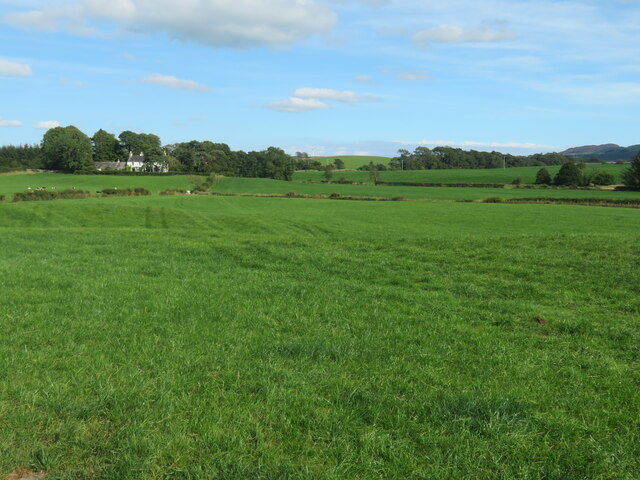
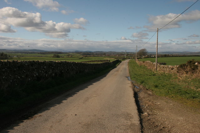
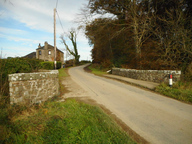
Dildawn Ford is a picturesque freshwater marsh located in Kirkcudbrightshire, Scotland. Situated in a tranquil and idyllic setting, this natural landscape is a haven for wildlife enthusiasts and nature lovers alike. The Ford is nestled amidst rolling hills and lush greenery, creating a serene and peaceful atmosphere.
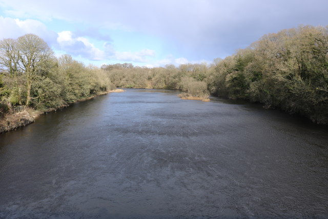
The main feature of Dildawn Ford is its expansive lake, which serves as a vital habitat for a diverse array of aquatic species. The lake is characterized by its crystal-clear waters, providing an ideal environment for various fish species and waterfowl to thrive. The calm and undisturbed nature of the lake attracts a multitude of bird species, making it a popular spot for birdwatchers.
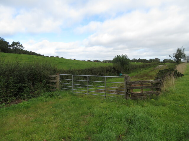
Surrounding the lake are several smaller ponds and pools, adding to the overall charm and beauty of the area. These smaller bodies of water provide additional habitats for amphibians, such as frogs and newts, as well as a variety of aquatic plants.
The freshwater marsh at Dildawn Ford is a significant feature of the landscape. The marshland is rich in vegetation, including reeds, rushes, and sedges, creating a lush and verdant environment. This marsh serves as a vital breeding ground for many species of waterfowl, as well as an important feeding and resting area for migratory birds.
Dildawn Ford offers visitors a chance to immerse themselves in the beauty of nature. Whether it's observing the diverse birdlife, exploring the rich aquatic ecosystems, or simply enjoying the peaceful ambiance, this freshwater marsh is a true gem in Kirkcudbrightshire.
If you have any feedback on the listing, please let us know in the comments section below.
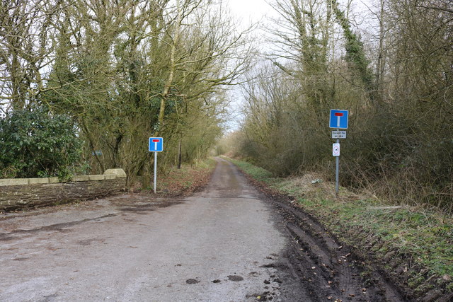
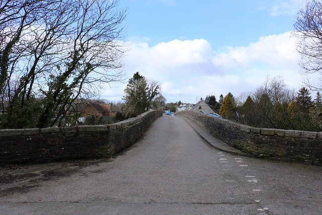
Dildawn Ford Images
Images are sourced within 2km of 54.913425/-3.9883868 or Grid Reference NX7259. Thanks to Geograph Open Source API. All images are credited.
Dildawn Ford is located at Grid Ref: NX7259 (Lat: 54.913425, Lng: -3.9883868)
Unitary Authority: Dumfries and Galloway
Police Authority: Dumfries and Galloway
What 3 Words
///material.clash.salmon. Near Castle Douglas, Dumfries & Galloway
Nearby Locations
Related Wikis

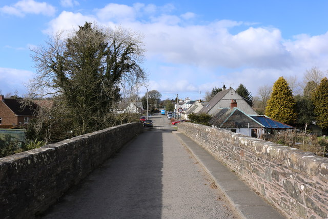
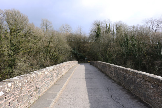
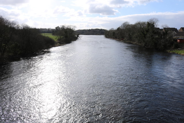
Bridge of Dee, Galloway
Bridge of Dee, Galloway is a settlement on the River Dee, Galloway. It lies on the A75 just west of Castle Douglas, and north-east of Kirkcudbright. The...

Bridge of Dee railway station
Bridge of Dee railway station served the settlement of Bridge of Dee, Dumfries and Galloway, Scotland from 1864 to 1949 on the Kirkcudbright Railway....

Threave Gardens
Threave Garden and Estate is a series of gardens owned and managed by the National Trust for Scotland, located near Castle Douglas in the historical county...

Threave Castle
Threave Castle is situated on an island in the River Dee, 2.5 kilometres (1.6 mi) west of Castle Douglas in the historical county of Kirkcudbrightshire...

Airieland
Airieland is a farm in the historical county of Kirkcudbrightshire, in the Scottish council area of Dumfries and Galloway. It is found 3 miles (5 km) south...

Carlingwark Loch
Carlingwark Loch is a small freshwater loch in the historical county of Kirkcudbrightshire, Dumfries and Galloway, Scotland lying just south of Castle...
Ringford
Ringford is a village in the historical county of Kirkcudbrightshire in Dumfries and Galloway located at grid reference NX689578 beside the Tarff Water...
Threave Rovers F.C.
Threave Rovers Football Club are a football club from Castle Douglas in Dumfries and Galloway, Scotland. Formed in October 1953, the club plays its home...
Nearby Amenities
Located within 500m of 54.913425,-3.9883868Have you been to Dildawn Ford?
Leave your review of Dildawn Ford below (or comments, questions and feedback).