Ford Hill
Hill, Mountain in Kirkcudbrightshire
Scotland
Ford Hill
Ford Hill is a prominent geographical feature located in the region of Kirkcudbrightshire, Scotland. Rising to an elevation of approximately 247 meters (810 feet), it is considered a hill rather than a mountain. Situated about 3 kilometers (1.9 miles) north of the town of Gatehouse of Fleet, Ford Hill is a distinct landmark that stands out in the surrounding landscape.
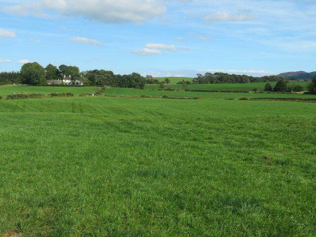
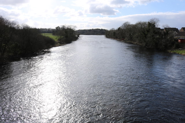
The hill is characterized by its gently sloping sides, which are covered in grass and occasional patches of heather. Its summit offers breathtaking panoramic views of the surrounding countryside, including the rolling hills and woodlands that typify the region. On clear days, it is possible to see the estuary of the River Fleet and the picturesque Solway Firth in the distance.
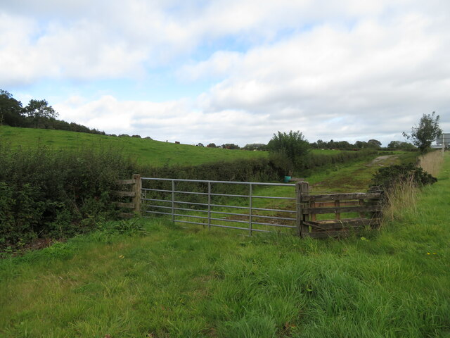
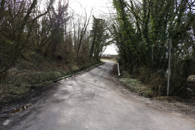
Ford Hill is easily accessible via a network of footpaths that wind their way up the hillside. This makes it a popular destination for hikers, nature enthusiasts, and locals seeking a peaceful retreat. The ascent is relatively moderate, with a well-maintained trail leading visitors through the natural beauty of the area.
The hill is also known for its historical significance, as it was once the site of an Iron Age fort. Remnants of this ancient settlement can still be seen, adding an extra layer of interest to the area. Additionally, the surrounding fields are often grazed by sheep, creating a pastoral scene that adds to the charm of Ford Hill.
Overall, Ford Hill in Kirkcudbrightshire offers visitors a chance to immerse themselves in the natural beauty and historical heritage of the region, making it a worthwhile destination for those seeking an authentic Scottish experience.
If you have any feedback on the listing, please let us know in the comments section below.
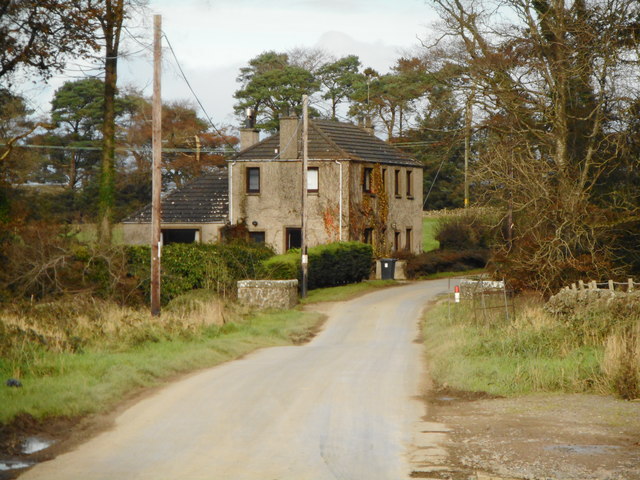
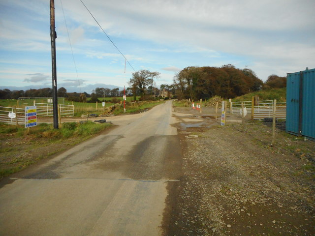
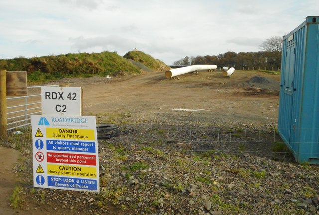
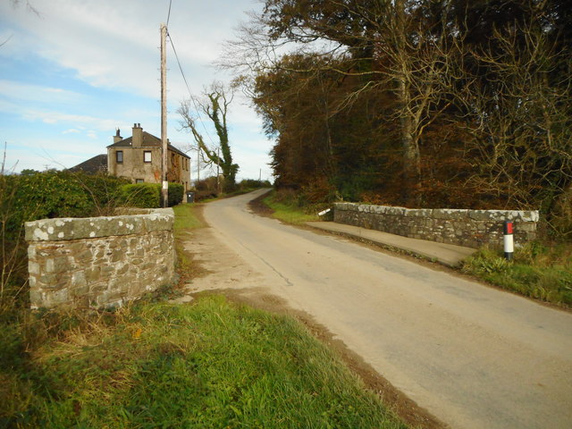
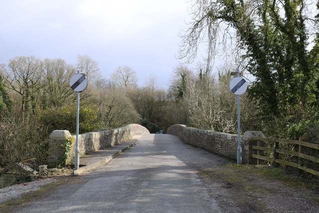
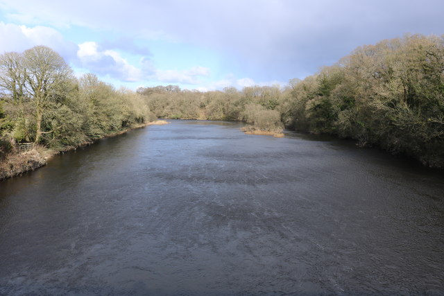
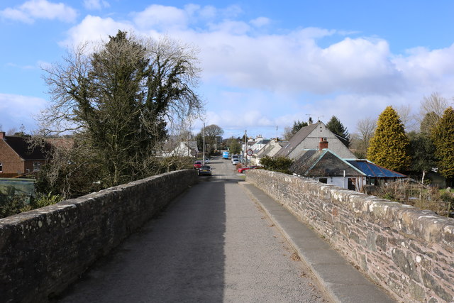
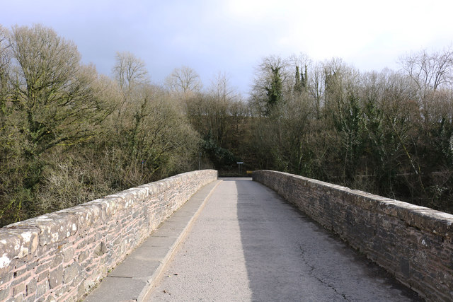
Ford Hill Images
Images are sourced within 2km of 54.913989/-3.9945774 or Grid Reference NX7259. Thanks to Geograph Open Source API. All images are credited.


Ford Hill is located at Grid Ref: NX7259 (Lat: 54.913989, Lng: -3.9945774)
Unitary Authority: Dumfries and Galloway
Police Authority: Dumfries and Galloway
What 3 Words
///method.inclines.whistling. Near Castle Douglas, Dumfries & Galloway
Nearby Locations
Related Wikis

Bridge of Dee, Galloway
Bridge of Dee, Galloway is a settlement on the River Dee, Galloway. It lies on the A75 just west of Castle Douglas, and north-east of Kirkcudbright. The...

Bridge of Dee railway station
Bridge of Dee railway station served the settlement of Bridge of Dee, Dumfries and Galloway, Scotland from 1864 to 1949 on the Kirkcudbright Railway....

Threave Castle
Threave Castle is situated on an island in the River Dee, 2.5 kilometres (1.6 mi) west of Castle Douglas in the historical county of Kirkcudbrightshire...

Threave Gardens
Threave Garden and Estate is a series of gardens owned and managed by the National Trust for Scotland, located near Castle Douglas in the historical county...

Ringford
Ringford is a village in the historical county of Kirkcudbrightshire in Dumfries and Galloway located at grid reference NX689578 beside the Tarff Water...

Carlingwark Loch
Carlingwark Loch is a small freshwater loch in the historical county of Kirkcudbrightshire, Dumfries and Galloway, Scotland lying just south of Castle...
Airieland
Airieland is a farm in the historical county of Kirkcudbrightshire, in the Scottish council area of Dumfries and Galloway. It is found 3 miles (5 km) south...
Threave Rovers F.C.
Threave Rovers Football Club are a football club from Castle Douglas in Dumfries and Galloway, Scotland. Formed in October 1953, the club plays its home...
Nearby Amenities
Located within 500m of 54.913989,-3.9945774Have you been to Ford Hill?
Leave your review of Ford Hill below (or comments, questions and feedback).