Dee Side Wood
Wood, Forest in Kirkcudbrightshire
Scotland
Dee Side Wood
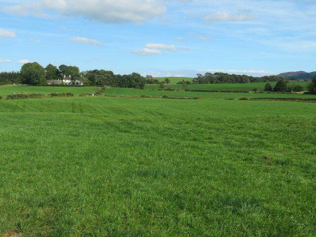
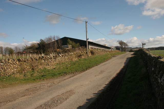
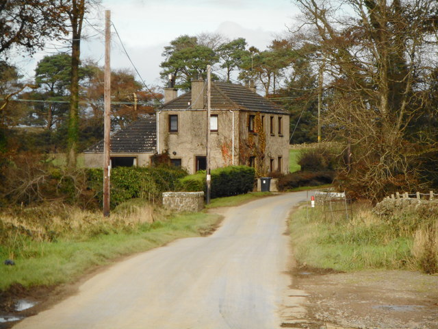
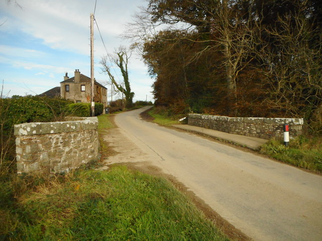
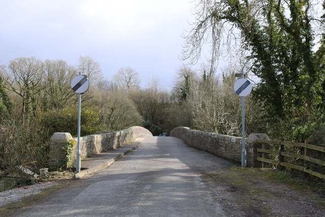
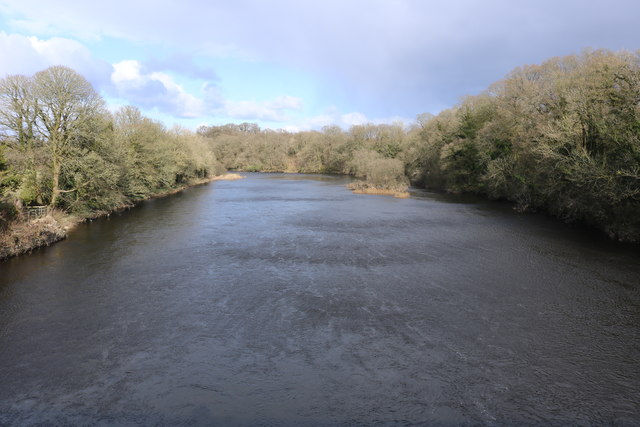
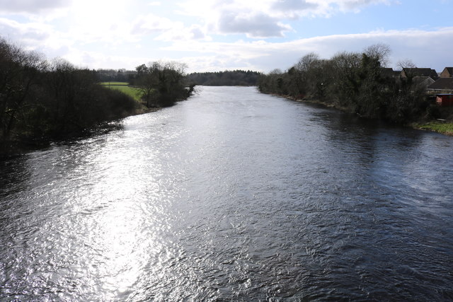
Dee Side Wood is a stunning forest located in Kirkcudbrightshire, Scotland. Covering an area of approximately 500 hectares, it is a haven for nature enthusiasts and outdoor adventurers. The wood sits on the banks of the River Dee, which adds to its scenic beauty and provides a tranquil atmosphere.
The woodland is predominantly made up of native broadleaf trees, including oak, ash, beech, and birch. These trees provide a rich habitat for a variety of wildlife, such as red squirrels, roe deer, and a wide range of bird species. The forest floor is adorned with an array of wildflowers, making it a delight to explore and appreciate the natural wonders.
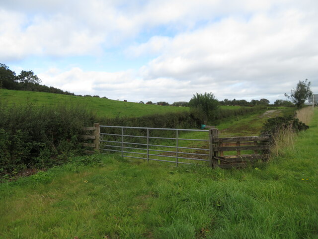
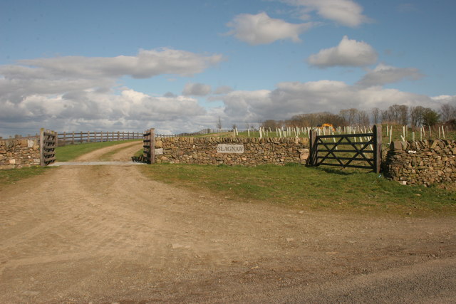
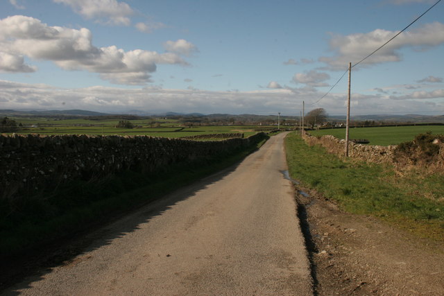
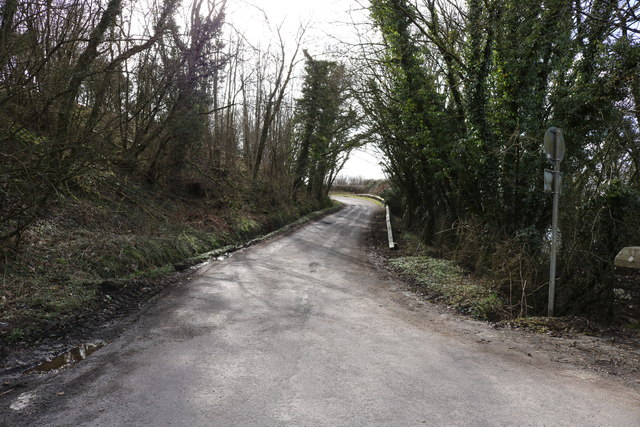
Dee Side Wood offers an extensive network of walking trails, catering to all abilities. From short leisurely strolls to longer hikes, visitors can experience the beauty of the forest and enjoy panoramic views of the surrounding landscape. The trails are well signposted and maintained, ensuring a safe and enjoyable experience for all.
For those seeking a more adventurous outing, Dee Side Wood also offers mountain biking routes that wind through the forest. These trails provide an exhilarating ride, with challenging sections for experienced riders and gentler routes for beginners.
The woodland is managed by a local conservation organization, which works tirelessly to protect and enhance its biodiversity. They regularly organize educational events and guided walks, allowing visitors to learn more about the flora and fauna that call Dee Side Wood their home.
Overall, Dee Side Wood is a picturesque and diverse forest that offers something for everyone. From its breathtaking scenery to its abundant wildlife, it is a must-visit destination for nature lovers and outdoor enthusiasts alike.
If you have any feedback on the listing, please let us know in the comments section below.
Dee Side Wood Images
Images are sourced within 2km of 54.91357/-3.9839162 or Grid Reference NX7259. Thanks to Geograph Open Source API. All images are credited.
Dee Side Wood is located at Grid Ref: NX7259 (Lat: 54.91357, Lng: -3.9839162)
Unitary Authority: Dumfries and Galloway
Police Authority: Dumfries and Galloway
What 3 Words
///liquids.pavilions.larger. Near Castle Douglas, Dumfries & Galloway
Nearby Locations
Related Wikis

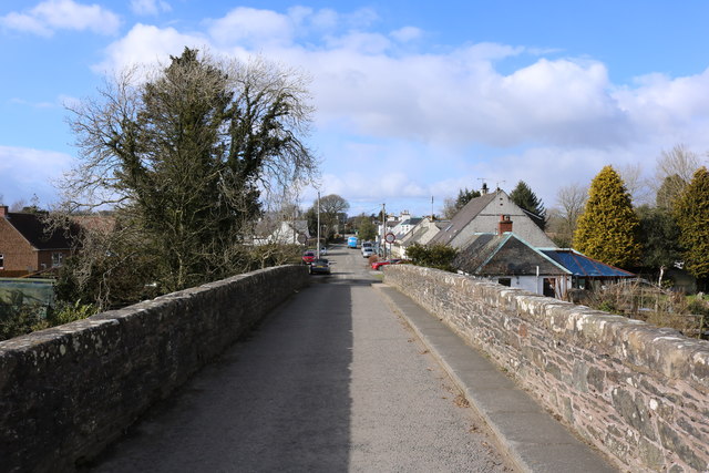
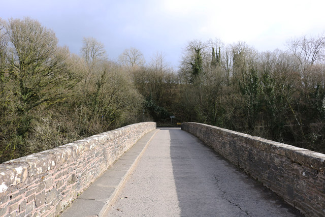
Bridge of Dee, Galloway
Bridge of Dee, Galloway is a settlement on the River Dee, Galloway. It lies on the A75 just west of Castle Douglas, and north-east of Kirkcudbright. The...

Bridge of Dee railway station
Bridge of Dee railway station served the settlement of Bridge of Dee, Dumfries and Galloway, Scotland from 1864 to 1949 on the Kirkcudbright Railway....

Threave Gardens
Threave Garden and Estate is a series of gardens owned and managed by the National Trust for Scotland, located near Castle Douglas in the historical county...

Threave Castle
Threave Castle is situated on an island in the River Dee, 2.5 kilometres (1.6 mi) west of Castle Douglas in the historical county of Kirkcudbrightshire...

Carlingwark Loch
Carlingwark Loch is a small freshwater loch in the historical county of Kirkcudbrightshire, Dumfries and Galloway, Scotland lying just south of Castle...

Airieland
Airieland is a farm in the historical county of Kirkcudbrightshire, in the Scottish council area of Dumfries and Galloway. It is found 3 miles (5 km) south...
Threave Rovers F.C.
Threave Rovers Football Club are a football club from Castle Douglas in Dumfries and Galloway, Scotland. Formed in October 1953, the club plays its home...

The Fullarton
The Fullarton is a performing arts theatre and entertainment venue in the town of Castle Douglas in the historical county of Kirkcudbrightshire in Dumfries...
Nearby Amenities
Located within 500m of 54.91357,-3.9839162Have you been to Dee Side Wood?
Leave your review of Dee Side Wood below (or comments, questions and feedback).