Aggie's Clump
Wood, Forest in Kirkcudbrightshire
Scotland
Aggie's Clump
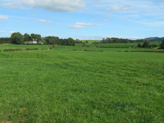
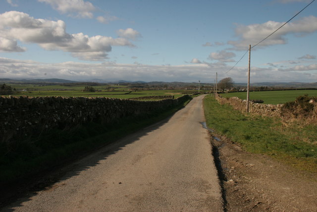
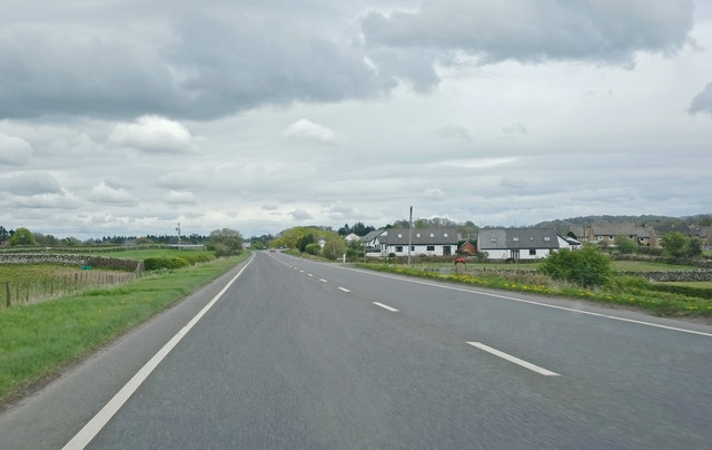
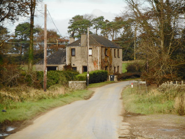
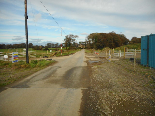
Located in Kirkcudbrightshire, Scotland, Aggie's Clump is a picturesque and enchanting wood nestled in the countryside. This tranquil forest covers an area of approximately 100 acres and is a beloved destination for nature lovers and hikers alike.
The woodland, named after a local resident, Aggie, is predominantly composed of native broadleaf trees such as oak, beech, and birch. These majestic trees create a dense canopy that provides shade and shelter for a diverse range of flora and fauna. The forest floor is adorned with a vibrant carpet of wildflowers, including bluebells and primroses, adding a burst of color to the landscape.
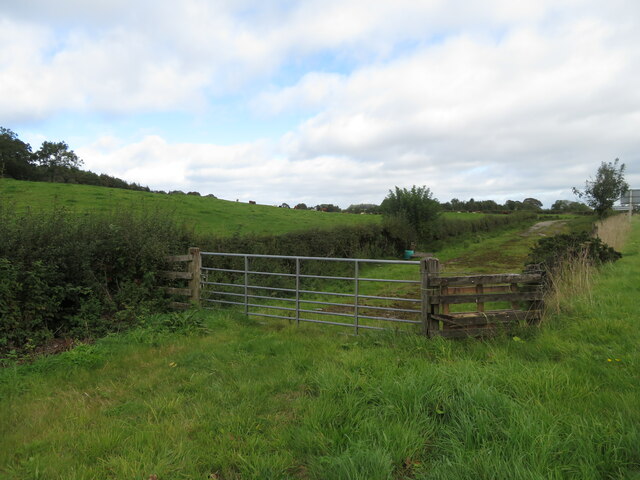
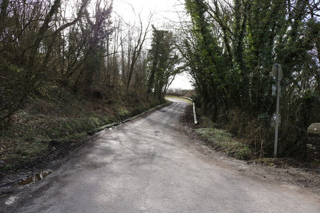
Aggie's Clump is crisscrossed by a network of well-maintained trails, allowing visitors to explore the woodland at their own pace. The paths wind through the forest, leading visitors to charming clearings and hidden nooks. Along the way, one can encounter a variety of wildlife, including squirrels, deer, and an array of bird species. Birdsong fills the air, creating a soothing and melodic soundtrack to the experience.
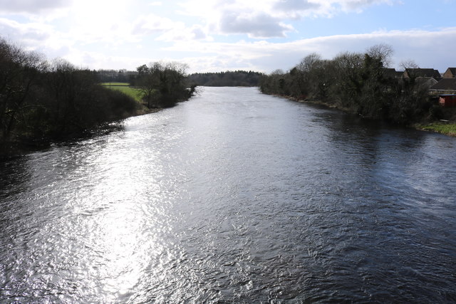
The forest also boasts a small stream that meanders through its heart, adding to the serenity and natural beauty of the area. The gurgling water and the gentle rustling of leaves create a peaceful ambiance that invites visitors to relax and unwind.
With its idyllic setting and abundant natural beauty, Aggie's Clump is a haven for those seeking respite from the hustle and bustle of daily life. Whether it's a leisurely stroll, a picnic among the trees, or simply a moment of quiet reflection, this woodland gem offers a rejuvenating experience for all who venture within its boundaries.
If you have any feedback on the listing, please let us know in the comments section below.
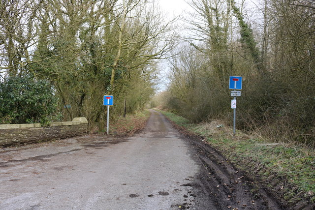
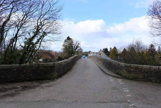
Aggie's Clump Images
Images are sourced within 2km of 54.912163/-3.9897286 or Grid Reference NX7259. Thanks to Geograph Open Source API. All images are credited.
Aggie's Clump is located at Grid Ref: NX7259 (Lat: 54.912163, Lng: -3.9897286)
Unitary Authority: Dumfries and Galloway
Police Authority: Dumfries and Galloway
What 3 Words
///bluntly.gong.markets. Near Castle Douglas, Dumfries & Galloway
Nearby Locations
Related Wikis

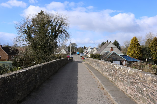
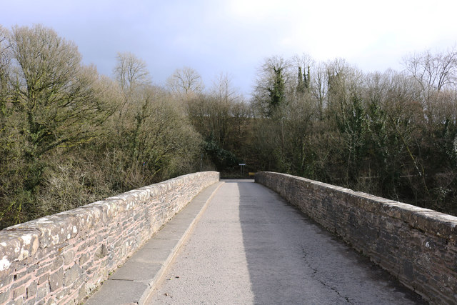
Bridge of Dee, Galloway
Bridge of Dee, Galloway is a settlement on the River Dee, Galloway. It lies on the A75 just west of Castle Douglas, and north-east of Kirkcudbright. The...

Bridge of Dee railway station
Bridge of Dee railway station served the settlement of Bridge of Dee, Dumfries and Galloway, Scotland from 1864 to 1949 on the Kirkcudbright Railway....

Threave Gardens
Threave Garden and Estate is a series of gardens owned and managed by the National Trust for Scotland, located near Castle Douglas in the historical county...

Threave Castle
Threave Castle is situated on an island in the River Dee, 2.5 kilometres (1.6 mi) west of Castle Douglas in the historical county of Kirkcudbrightshire...

Airieland
Airieland is a farm in the historical county of Kirkcudbrightshire, in the Scottish council area of Dumfries and Galloway. It is found 3 miles (5 km) south...
Ringford
Ringford is a village in the historical county of Kirkcudbrightshire in Dumfries and Galloway located at grid reference NX689578 beside the Tarff Water...

Carlingwark Loch
Carlingwark Loch is a small freshwater loch in the historical county of Kirkcudbrightshire, Dumfries and Galloway, Scotland lying just south of Castle...
Threave Rovers F.C.
Threave Rovers Football Club are a football club from Castle Douglas in Dumfries and Galloway, Scotland. Formed in October 1953, the club plays its home...
Nearby Amenities
Located within 500m of 54.912163,-3.9897286Have you been to Aggie's Clump?
Leave your review of Aggie's Clump below (or comments, questions and feedback).