Coltswood
Wood, Forest in Lanarkshire
Scotland
Coltswood

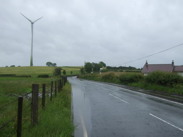
Coltswood is a small village located in the county of Lanarkshire, Scotland. Situated in the central part of the country, it lies approximately 10 miles southeast of the town of Airdrie. The village is nestled amidst a picturesque woodland area, earning its name from the abundance of coltsfoot flowers that grow in the region.
Surrounded by lush greenery, Coltswood offers a peaceful and natural setting for its residents. The village is home to a small population, mainly comprising of locals who value the tranquility and beauty of the area. The woodland surrounding Coltswood provides an excellent habitat for various species of wildlife, making it a haven for nature enthusiasts and birdwatchers.
Despite its small size, Coltswood boasts a strong sense of community. The village has a community center that hosts regular gatherings and events, fostering a close-knit atmosphere amongst its residents. The center also serves as a hub for recreational activities and social clubs, providing opportunities for people of all ages to engage in hobbies and meet new friends.
For those seeking outdoor activities, the surrounding forest offers numerous walking trails and paths, allowing visitors to explore the natural beauty of the area. The woodlands are also a popular spot for picnics and family outings, with designated areas for relaxation and leisure.
Coltswood may be small, but its idyllic setting and close community make it a desirable place to live for those seeking a peaceful and natural environment.
If you have any feedback on the listing, please let us know in the comments section below.
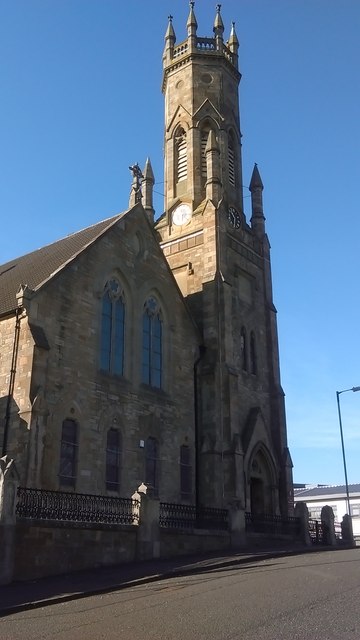
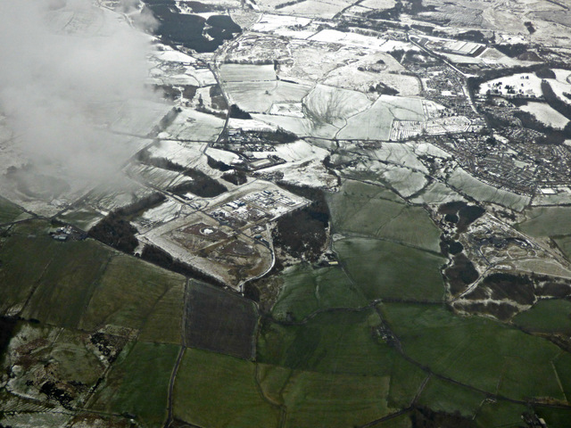
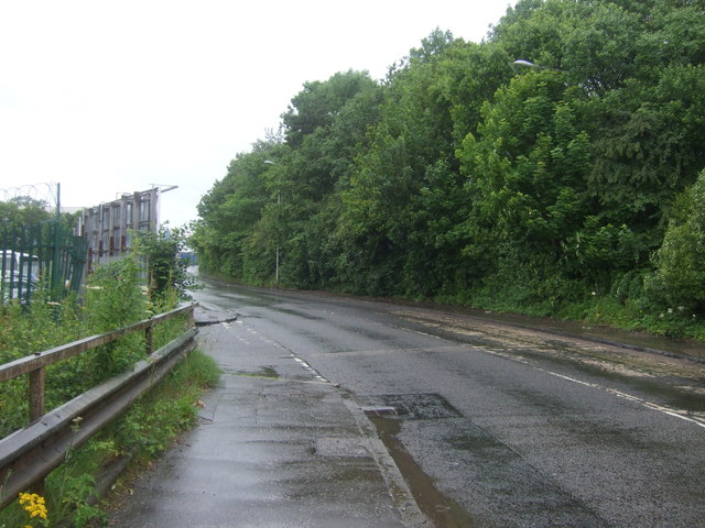
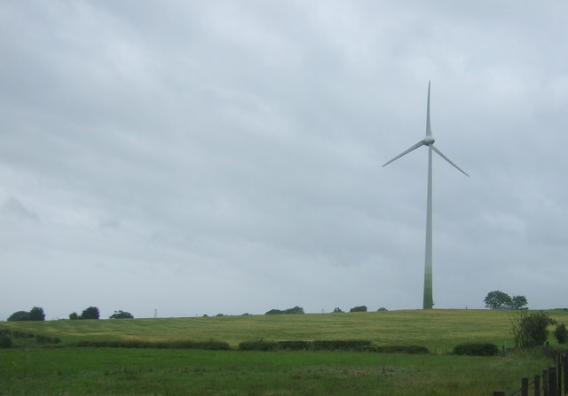
Coltswood Images
Images are sourced within 2km of 55.877062/-4.0384444 or Grid Reference NS7266. Thanks to Geograph Open Source API. All images are credited.


Coltswood is located at Grid Ref: NS7266 (Lat: 55.877062, Lng: -4.0384444)
Unitary Authority: North Lanarkshire
Police Authority: Lanarkshire
What 3 Words
///panels.windmills.science. Near Glenboig, North Lanarkshire
Nearby Locations
Related Wikis
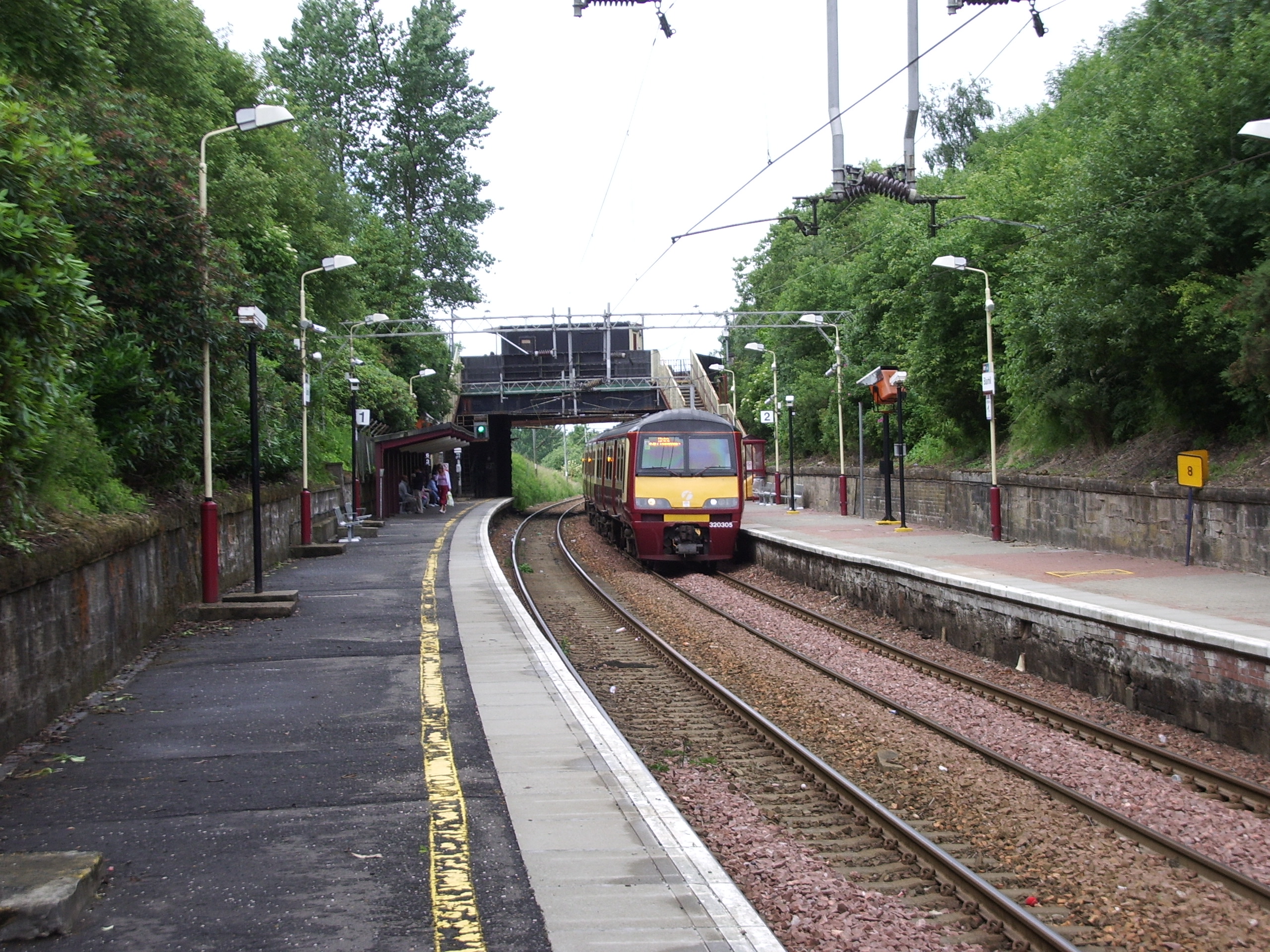
Blairhill railway station
Blairhill railway station serves the Blairhill area of Coatbridge, North Lanarkshire, Scotland. It is 8½ miles (13 km) east of Glasgow Queen Street railway...
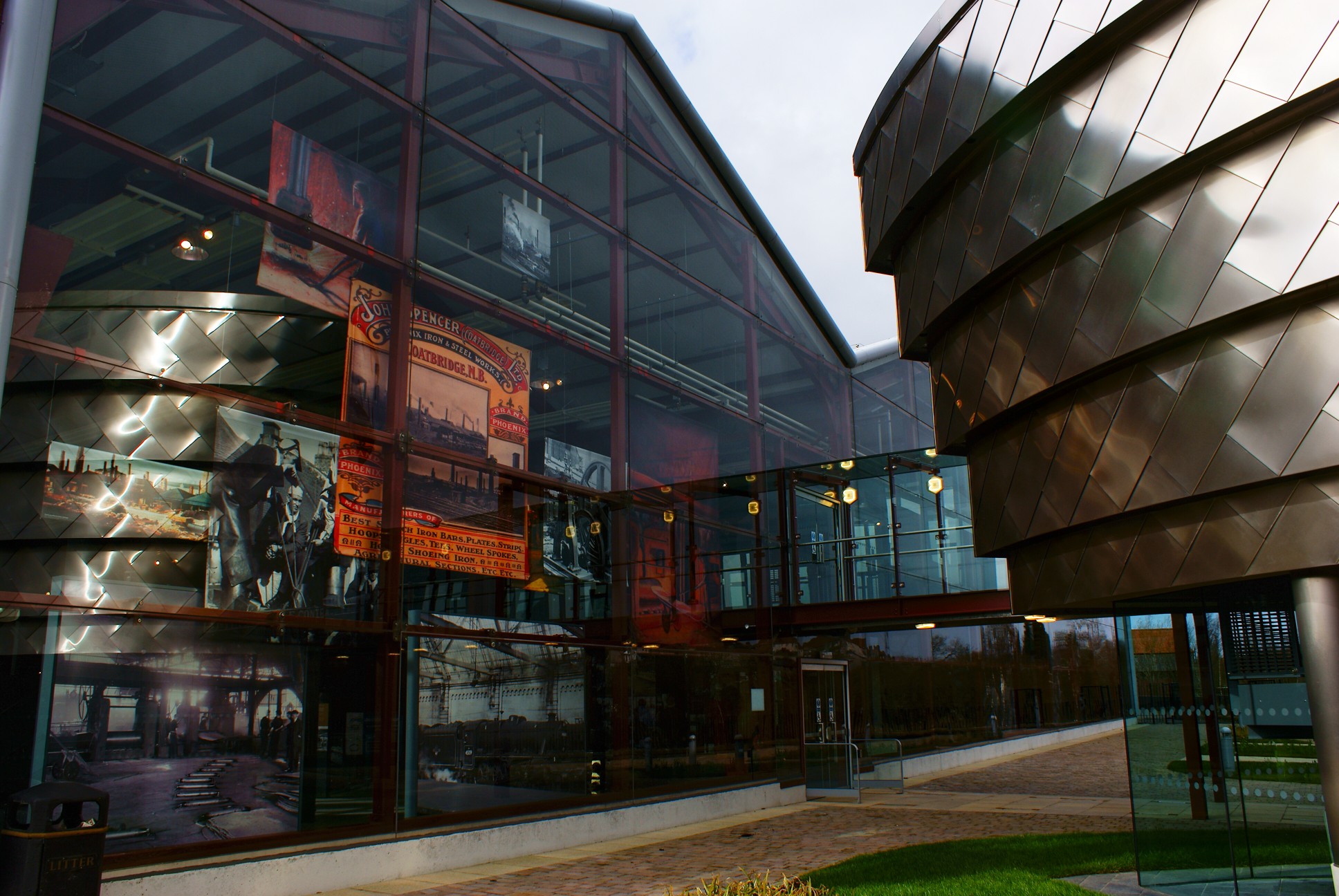
Summerlee Museum of Scottish Industrial Life
Summerlee Museum of Scottish Industrial Life is an industrial and social history museum in Coatbridge, North Lanarkshire, Scotland. It is situated on the...
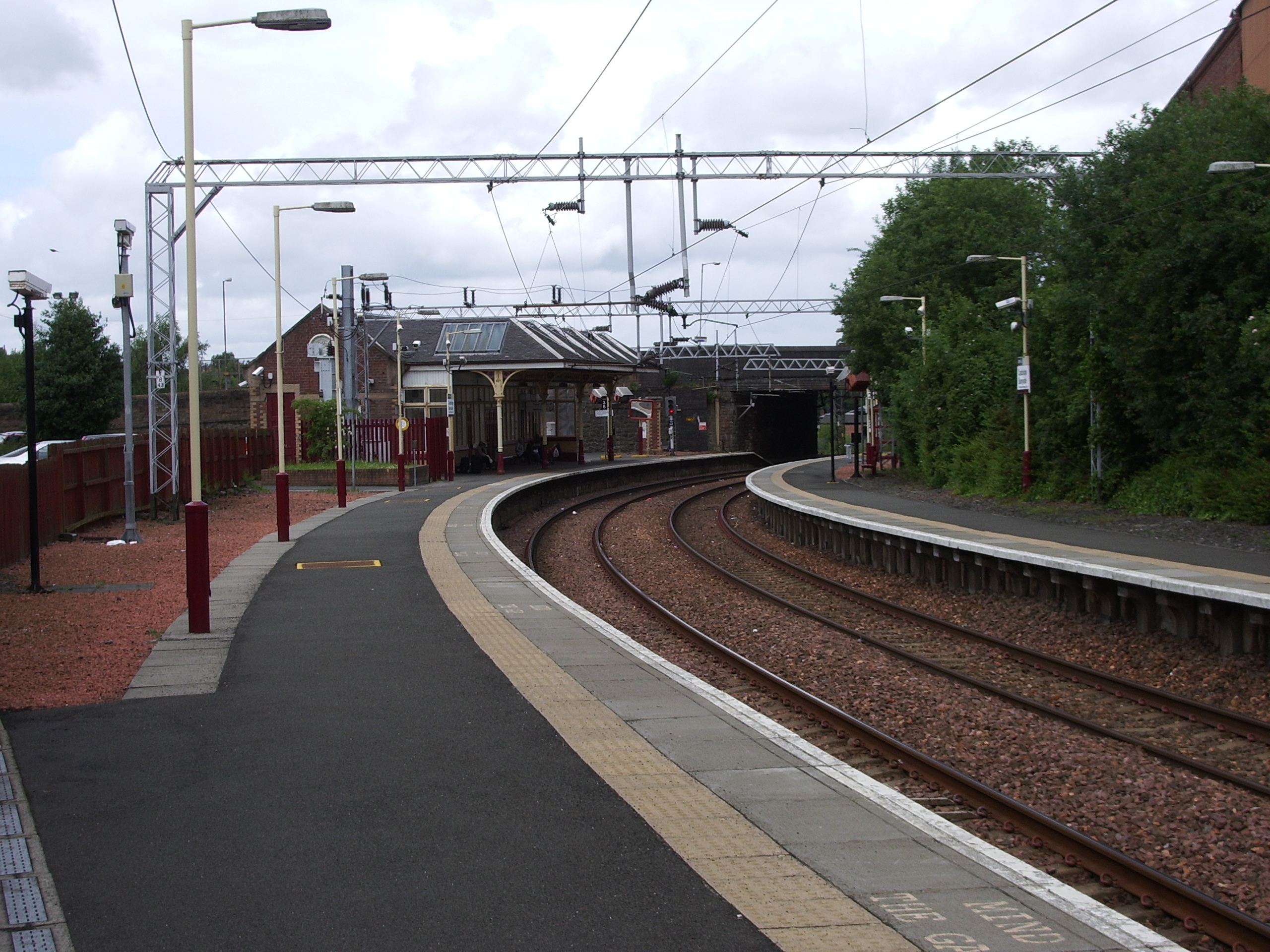
Coatbridge Sunnyside railway station
Coatbridge Sunnyside railway station serves the town of Coatbridge in North Lanarkshire, Scotland. The railway station is managed by ScotRail and is located...

Buchanan High School (Coatbridge)
Buchanan High School is an additional support needs secondary school in the Townhead neighbourhood of Coatbridge, North Lanarkshire, Scotland. Replacing...
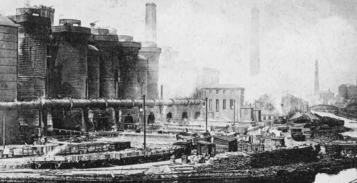
Summerlee Iron Works
The Summerlee Iron Works (1836–1930) was an iron works established in Coatbridge, Scotland. The site has been incorporated into the Summerlee, Museum...

Coatbridge Library
Coatbridge Library is a public library in Coatbridge, North Lanarkshire, Scotland. == Original location == The building was designed by Alexander Cullen...

Coatbridge, Chryston and Bellshill (UK Parliament constituency)
Coatbridge, Chryston and Bellshill is a constituency of the House of Commons of the Parliament of the United Kingdom. It elects one Member of Parliament...

Coatbridge Central railway station
Coatbridge Central railway station is a station in Coatbridge, North Lanarkshire, Scotland. It is on the Argyle Line. Train services are provided by ScotRail...
Nearby Amenities
Located within 500m of 55.877062,-4.0384444Have you been to Coltswood?
Leave your review of Coltswood below (or comments, questions and feedback).