Quarry Wood

Wood, Forest in Stirlingshire

Scotland

Quarry Wood

Wet pasture, Auchinreoch Much of the land here is wet with several areas of open water.
Wet pasture, Auchinreoch Credit: Richard Webb

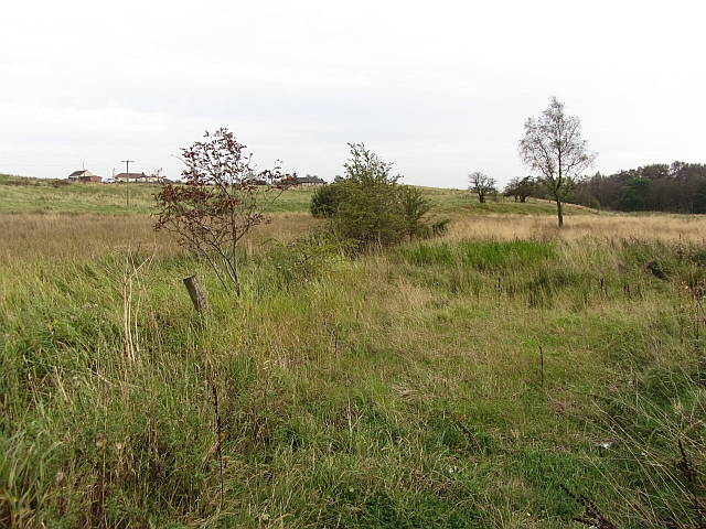
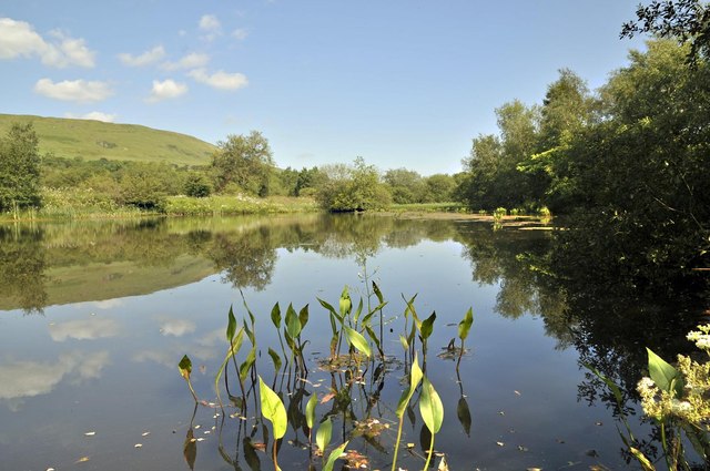
Quarry Wood is a stunning woodland area located in Stirlingshire, Scotland. Spanning approximately 80 acres, it is a diverse and picturesque forest that offers visitors a unique and immersive experience in nature.

The wood is known for its rich biodiversity and is home to a wide range of plant and animal species. Visitors can expect to encounter a variety of trees, including oak, birch, and beech, which create a beautiful canopy overhead. The forest floor is covered in a thick layer of moss and ferns, adding to the enchanting atmosphere.

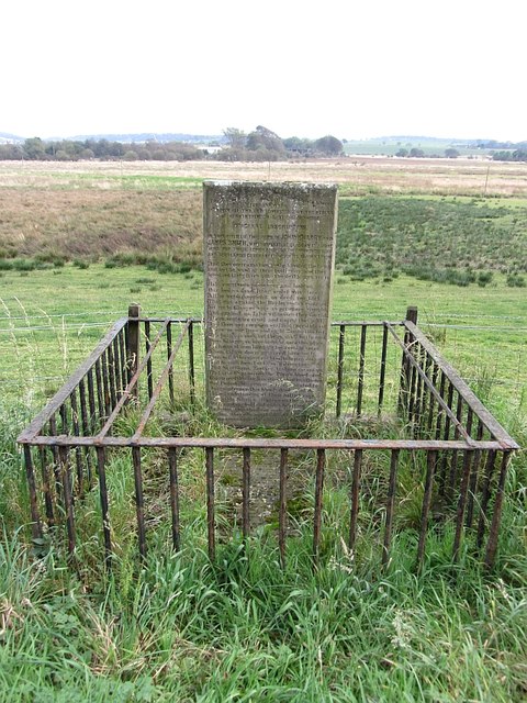
Quarry Wood is a haven for wildlife enthusiasts, as it provides a habitat for numerous animals. Birdwatchers can spot species such as woodpeckers, owls, and various songbirds, while those with a keen eye might catch a glimpse of red squirrels, foxes, and deer roaming through the trees.

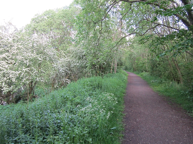
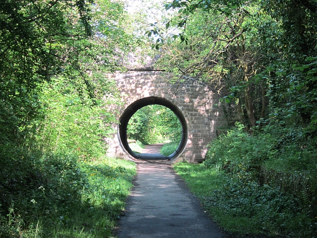
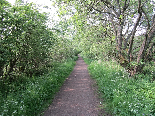
The woodland offers several well-maintained trails, allowing visitors to explore its beauty at their own pace. These paths wind through the forest, providing breathtaking views of the surrounding landscape and opportunities for peaceful walks or invigorating hikes. The wood also features picnic areas, making it a perfect spot for families and friends to enjoy a day out in nature.

Overall, Quarry Wood in Stirlingshire is a captivating destination for nature lovers and outdoor enthusiasts alike. Its peaceful ambiance, stunning scenery, and diverse wildlife make it a must-visit location for anyone seeking a tranquil escape from the hustle and bustle of everyday life.

If you have any feedback on the listing, please let us know in the comments section below.
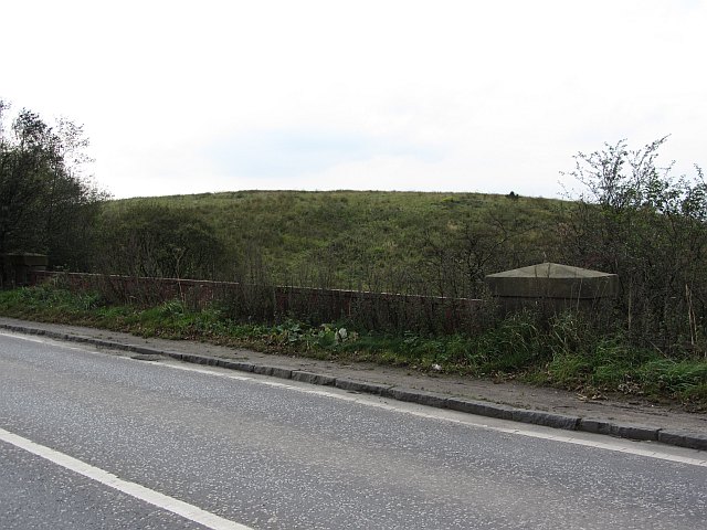
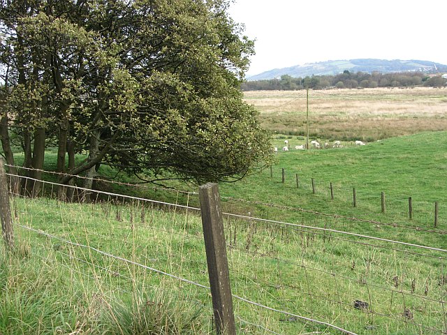
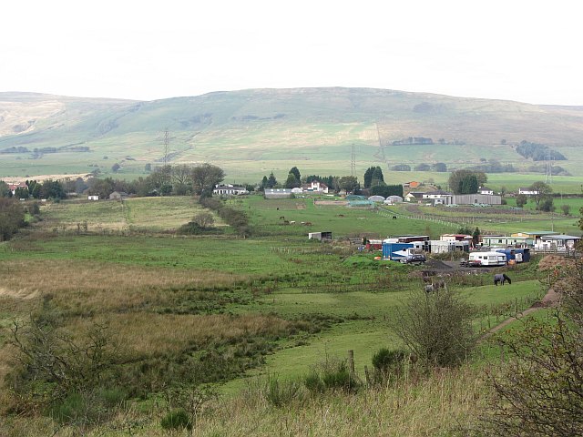
Quarry Wood Images

Images are sourced within 2km of 55.969243/-4.1514416 or Grid Reference NS6577. Thanks to Geograph Open Source API. All images are credited.

Wet pasture, Auchinreoch Much of the land here is wet with several areas of open water.
Wet pasture, Auchinreoch
Much of the land here is wet with several areas of open water.
Martyrs' memorial A monument to John Wharry and James Smith. They were Covenanters and involved in an attack on government troops near here.

The inscription reads:
"In this field lies the corpse of John Wharry and James Smith, who suffered in Glasgow, 13 June 1683, for their adherence to the Word of God, and Scotland’s Covenanted Work of Reformation: ‘And they overcame them by the blood of the Lamb, and by the word of their testimony; and they loved not their lives unto the death’” (Rev. xii. 11)

    Halt, courteous passenger, and look on
    Our bodies dead, & lying under this stone.
    Altho’ we did commit no deed,** nor fact
    That was against the Bridegroom’s contract,
    Yet we to Glasgow were as prisoners brought,
    And against us false witness they sought.
    Their sentence cruel and unjust they past,
    And then our corps on scaffold they did cast.
    There we our lives and right hands also lost.
    From Glasgow we were brought unto this place
    In chains of iron hung up for certain space.
    Then taken down interred here we ly–
    From ‘neath this stone our blood to heaven doth cry.
    Had foreign foes, Turks, or Mahometans,
    Had Scythians, Tartars, Arabian Caravans,
    Had cruel Spaniards, the Pope’s blood seed,
    Commenced the same, less strange had been the deed;
    But Protestants, profest our Covenants to,
    Our countrymen, this bloody deed could do.
    Yet notwithstanding of their hellish rage
    The noble Wharry stepping on the stage
    With courage bold and with a heart not faint,
    Exclaims, This blood now seals our covenant–
    Ending, They who would follow Christ should take
    Their cross upon their back, the world forsake."
Martyrs' memorial
A monument to John Wharry and James Smith. They were Covenanters and involved in an attack on government troops near here. The inscription reads: "In this field lies the corpse of John Wharry and James Smith, who suffered in Glasgow, 13 June 1683, for their adherence to the Word of God, and Scotland’s Covenanted Work of Reformation: ‘And they overcame them by the blood of the Lamb, and by the word of their testimony; and they loved not their lives unto the death’” (Rev. xii. 11) Halt, courteous passenger, and look on Our bodies dead, & lying under this stone. Altho’ we did commit no deed,** nor fact That was against the Bridegroom’s contract, Yet we to Glasgow were as prisoners brought, And against us false witness they sought. Their sentence cruel and unjust they past, And then our corps on scaffold they did cast. There we our lives and right hands also lost. From Glasgow we were brought unto this place In chains of iron hung up for certain space. Then taken down interred here we ly– From ‘neath this stone our blood to heaven doth cry. Had foreign foes, Turks, or Mahometans, Had Scythians, Tartars, Arabian Caravans, Had cruel Spaniards, the Pope’s blood seed, Commenced the same, less strange had been the deed; But Protestants, profest our Covenants to, Our countrymen, this bloody deed could do. Yet notwithstanding of their hellish rage The noble Wharry stepping on the stage With courage bold and with a heart not faint, Exclaims, This blood now seals our covenant– Ending, They who would follow Christ should take Their cross upon their back, the world forsake."
ROC bunker Hidden in plain sight - these were a familiar sight and I always took them to be water works. One of the network of Royal Observer Corps observation posts.
ROC bunker
Hidden in plain sight - these were a familiar sight and I always took them to be water works. One of the network of Royal Observer Corps observation posts.
Parish church, Milton of Campsie This building has since been closed, as a new church has been built.
Parish church, Milton of Campsie
This building has since been closed, as a new church has been built.
Ashenwell Dams Part of the system of water works above Milton of Campsie
Ashenwell Dams
Part of the system of water works above Milton of Campsie
Blane Valley Railway The path on the trackbed runs beside the Glazert Water. It was popular with fishermen today.
Blane Valley Railway
The path on the trackbed runs beside the Glazert Water. It was popular with fishermen today.
Milton of Campsie Station The bridge has been partly filled and now a pipe takes the Strathkelvin walkway, a cycle/foot path through the arch. There were platforms (still there) on both sides of the B757 bridge.
Milton of Campsie Station
The bridge has been partly filled and now a pipe takes the Strathkelvin walkway, a cycle/foot path through the arch. There were platforms (still there) on both sides of the B757 bridge.
Blane Valley Railway Now the trackbed is the Strathkelvin Walkway a cycle / foot path. The path is tarred after Lennoxtown.
Blane Valley Railway
Now the trackbed is the Strathkelvin Walkway a cycle / foot path. The path is tarred after Lennoxtown.
Former railway bridge To the west of the bridge the trackbed is lost beneath a landfill site. The bridge carried a road over the Kelvin Valley Railway.
Former railway bridge
To the west of the bridge the trackbed is lost beneath a landfill site. The bridge carried a road over the Kelvin Valley Railway.
Kelvin Valley Railway Trackbed to the east of the A803. On the other side of the road the trackbed is buried beneath a landfill site.
Kelvin Valley Railway
Trackbed to the east of the A803. On the other side of the road the trackbed is buried beneath a landfill site.
Lochmill Smallholdings
Glorat Estate [1] Forested knoll to the east of Glorat.
Glorat Estate [1]
Forested knoll to the east of Glorat.
Glorat Estate [2] View of weir on channel which abstracts water for the Alloch Dam.
Glorat Estate [2]
View of weir on channel which abstracts water for the Alloch Dam.
Glorat Estate [3] View of sluice and overflow weir on channel that flows from the Ashenwell Dams to Alloch Dam.
Glorat Estate [3]
View of sluice and overflow weir on channel that flows from the Ashenwell Dams to Alloch Dam.
Glorat Estate [4] View to Alloch Dam.
Glorat Estate [4]
View to Alloch Dam.
Glorat Estate [5] the boat sheds And Alloch Dam.
Glorat Estate [5] the boat sheds
And Alloch Dam.
Glorat Estate [6] the boat sheds [2] Deteriorating since <a href="https://www.geograph.org.uk/photo/1564349">NS6477 : Alloch Dam Boathouses</a> was taken in 2007.
Glorat Estate [6] the boat sheds [2]
Deteriorating since NS6477 : Alloch Dam Boathouses was taken in 2007.
Glorat Estate [7] Alloch Dam sluice From here the water flows along a channel to the next user of it, Mount Dam.
Glorat Estate [7] Alloch Dam sluice
From here the water flows along a channel to the next user of it, Mount Dam.
Show me another place!

Quarry Wood is located at Grid Ref: NS6577 (Lat: 55.969243, Lng: -4.1514416)

Unitary Authority: East Dunbartonshire

Police Authority: Greater Glasgow

What 3 Words

///floating.brew.sweat. Near Milton of Campsie, East Dunbartonshire

Related Wikis

Milton of Campsie

Milton of Campsie is a village formerly in the county of Stirlingshire, but now in East Dunbartonshire, Scotland roughly 10 miles (16 km) north of Glasgow...

Milton of Campsie railway station

Milton of Campsie railway station served the village of Milton of Campsie, in the historical county of Stirlingshire, Scotland, from 1848 to 1951 on the...

Glorat

Glorat is a place and estate in the parish of Campsie in East Dunbartonshire, Scotland. == History == A towerhouse was built at Glorat in the 16th century...

Glorat House

Glorat House is a 19th-century mansion house in East Dunbartonshire, Scotland. It is located in Milton of Campsie, in the former county of Stirlingshire...

Nearby Amenities

Located within 500m of 55.969243,-4.1514416
Barrier: cattle_grid
Bicycle: yes
Foot: yes
Lat/Long: 55.9688502/-4.1446096
Barrier: cattle_grid
Bicycle: yes
Foot: yes
Lat/Long: 55.9691007/-4.1534369
Power: pole
Lat/Long: 55.9736365/-4.1528319
Power: pole
Lat/Long: 55.9728872/-4.1530038
Power: pole
Lat/Long: 55.9689156/-4.1436583
Power: pole
Lat/Long: 55.9691735/-4.1450014
Power: pole
Lat/Long: 55.9695816/-4.1458878
Power: pole
Lat/Long: 55.9699932/-4.1467846
Power: pole
Lat/Long: 55.9703978/-4.14765
Power: pole
Lat/Long: 55.9708059/-4.1485112
Power: pole
Lat/Long: 55.9713382/-4.1496742
Power: pole
Lat/Long: 55.9718894/-4.1508644
Power: pole
Lat/Long: 55.9723901/-4.1519624
The data included in this document is from www.openstreetmap.org. The data is made available under ODbL.

Have you been to Quarry Wood?

Leave your review of Quarry Wood below (or comments, questions and feedback).