Baldorran Wood
Wood, Forest in Stirlingshire
Scotland
Baldorran Wood
Baldorran Wood, located in Stirlingshire, Scotland, is a picturesque forest that covers an area of approximately 100 hectares. This woodland is nestled in the heart of the Central Belt, making it easily accessible to visitors from nearby towns and cities.
The wood is predominantly made up of native broadleaf trees, such as oak, birch, and ash, which create a diverse and vibrant ecosystem. These trees provide a habitat for various species of wildlife, including birds, mammals, and insects. Nature enthusiasts can expect to see a variety of bird species, such as woodpeckers, thrushes, and owls, as well as mammals like red squirrels and deer.
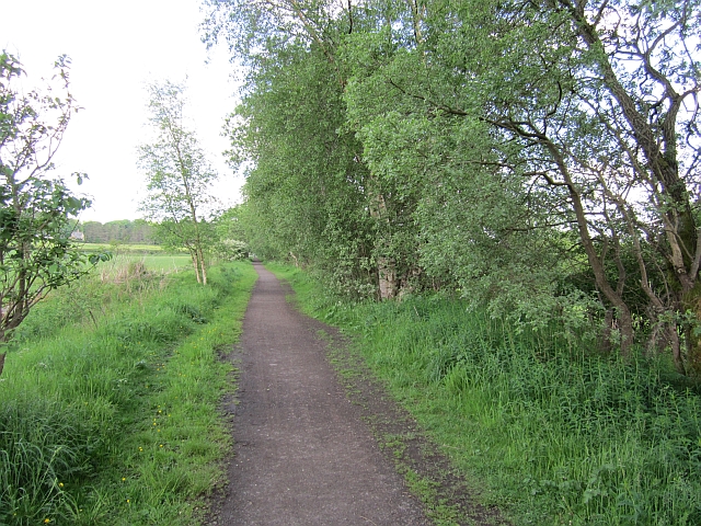
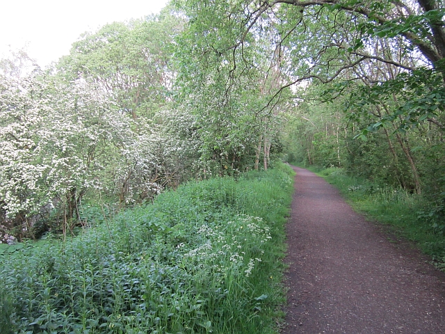
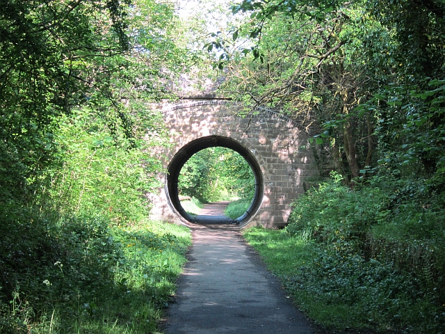
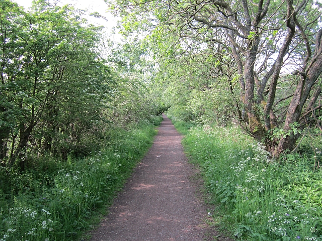
The forest is crisscrossed with a network of well-maintained footpaths, allowing visitors to explore the area at their own pace. These paths meander through the wood, offering stunning views of the surrounding countryside and providing opportunities for peaceful walks and hikes.
Baldorran Wood is not only a haven for nature lovers but also a site of historical significance. In the heart of the forest, there are remnants of ancient settlements, including stone circles and burial mounds, which provide a glimpse into the area's rich past.
The wood is managed by a local conservation organization, which ensures the protection and preservation of its natural beauty. They also organize educational activities and events, allowing visitors to learn more about the forest's ecology and history.
In conclusion, Baldorran Wood is a captivating forest in Stirlingshire, offering a tranquil escape into nature, abundant wildlife, and a fascinating glimpse into the region's history.
If you have any feedback on the listing, please let us know in the comments section below.
Baldorran Wood Images
Images are sourced within 2km of 55.96792/-4.1556627 or Grid Reference NS6577. Thanks to Geograph Open Source API. All images are credited.
![Glorat Estate [1] Forested knoll to the east of Glorat.](https://s0.geograph.org.uk/geophotos/03/30/10/3301024_bcb3f60a.jpg)
![Glorat Estate [2] View of weir on channel which abstracts water for the Alloch Dam.](https://s0.geograph.org.uk/geophotos/03/30/10/3301036_fff3af26.jpg)
![Glorat Estate [3] View of sluice and overflow weir on channel that flows from the Ashenwell Dams to Alloch Dam.](https://s2.geograph.org.uk/geophotos/03/30/10/3301038_6670a01a.jpg)
![Glorat Estate [4] View to Alloch Dam.](https://s1.geograph.org.uk/geophotos/03/30/10/3301041_79fcd934.jpg)
![Glorat Estate [5] the boat sheds And Alloch Dam.](https://s0.geograph.org.uk/geophotos/03/30/33/3303320_72bbd443.jpg)
![Glorat Estate [6] the boat sheds [2] Deteriorating since <a href="https://www.geograph.org.uk/photo/1564349">NS6477 : Alloch Dam Boathouses</a> was taken in 2007.](https://s2.geograph.org.uk/geophotos/03/30/33/3303330_3c2f4e98.jpg)
![Glorat Estate [7] Alloch Dam sluice From here the water flows along a channel to the next user of it, Mount Dam.](https://s2.geograph.org.uk/geophotos/03/30/33/3303338_229c5790.jpg)
![Glorat Estate [8] Alloch Dam sluice](https://s1.geograph.org.uk/geophotos/03/30/33/3303349_eafebf82.jpg)
![Glorat Estate [9] feeder channel Channel from Alloch to Mount Dam.](https://s0.geograph.org.uk/geophotos/03/30/33/3303368_b5ac8a6d.jpg)
![Glorat Estate [10] Alloch Dam The swans sallied over to see who the visitors were.](https://s0.geograph.org.uk/geophotos/03/30/33/3303380_938ff0b1.jpg)
Baldorran Wood is located at Grid Ref: NS6577 (Lat: 55.96792, Lng: -4.1556627)
Unitary Authority: East Dunbartonshire
Police Authority: Greater Glasgow
What 3 Words
///third.chimp.revamping. Near Milton of Campsie, East Dunbartonshire
Nearby Locations
Related Wikis

Milton of Campsie
Milton of Campsie is a village formerly in the county of Stirlingshire, but now in East Dunbartonshire, Scotland roughly 10 miles (16 km) north of Glasgow...
Milton of Campsie railway station
Milton of Campsie railway station served the village of Milton of Campsie, in the historical county of Stirlingshire, Scotland, from 1848 to 1951 on the...
Glorat
Glorat is a place and estate in the parish of Campsie in East Dunbartonshire, Scotland. == History == A towerhouse was built at Glorat in the 16th century...
Glorat House
Glorat House is a 19th-century mansion house in East Dunbartonshire, Scotland. It is located in Milton of Campsie, in the former county of Stirlingshire...
Nearby Amenities
Located within 500m of 55.96792,-4.1556627Have you been to Baldorran Wood?
Leave your review of Baldorran Wood below (or comments, questions and feedback).