North Derry Wood
Wood, Forest in Stirlingshire
Scotland
North Derry Wood
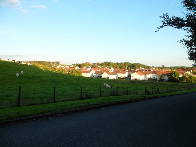
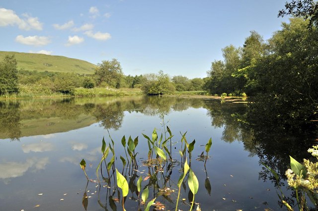
North Derry Wood is a picturesque forest located in the region of Stirlingshire, Scotland. Spanning approximately 80 hectares, this woodland area is well-known for its stunning natural beauty and diverse range of flora and fauna.
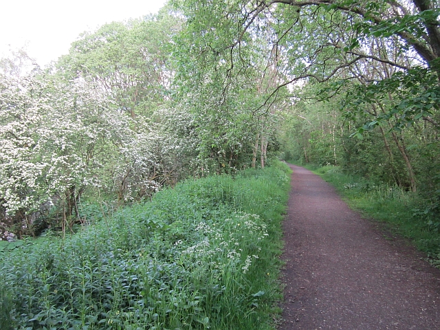
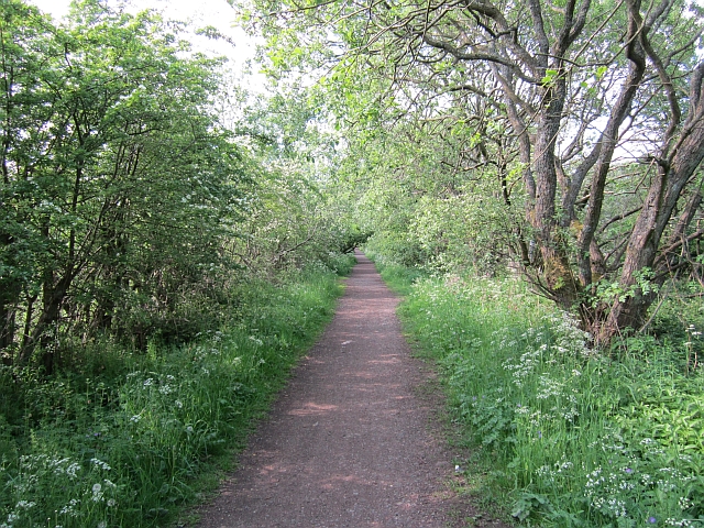
Situated near the village of Fintry, North Derry Wood boasts a mixture of deciduous and coniferous trees, creating a rich and vibrant landscape. Visitors can expect to see a variety of tree species, including oak, birch, beech, and Scots pine, among others. The forest floor is adorned with an array of wildflowers, adding a splash of color to the surroundings.
The wood provides an ideal habitat for many animal species, making it a haven for wildlife enthusiasts and nature lovers. Visitors may catch a glimpse of red squirrels, roe deer, badgers, and a multitude of bird species, such as woodpeckers, owls, and thrushes.
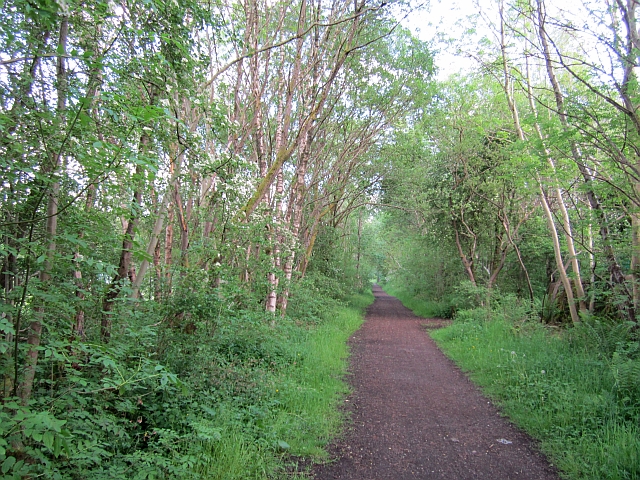
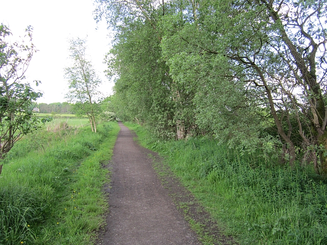
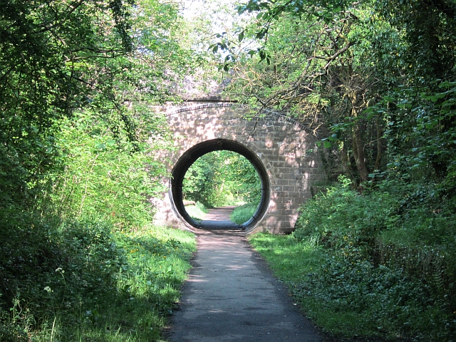
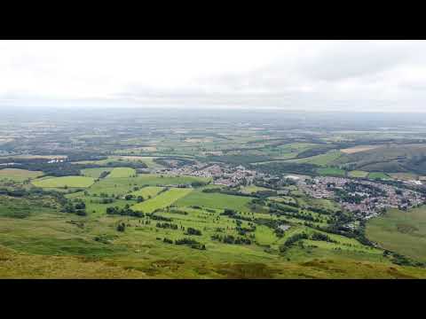
North Derry Wood offers a range of walking trails, allowing visitors to explore the forest at their own pace. These well-maintained paths wind through the wood, providing opportunities to immerse oneself in the tranquility of nature. The trails also offer scenic viewpoints, allowing visitors to take in panoramic views of the surrounding countryside.
In addition to its natural beauty, North Derry Wood has a rich historical and cultural significance. The wood is said to have been part of the ancient Caledonian Forest, and remnants of prehistoric settlements can still be found within its boundaries.
Overall, North Derry Wood offers a captivating blend of natural wonders, making it a must-visit destination for those seeking solace in the beauty of the Scottish countryside.
If you have any feedback on the listing, please let us know in the comments section below.
North Derry Wood Images
Images are sourced within 2km of 55.972589/-4.1631022 or Grid Reference NS6577. Thanks to Geograph Open Source API. All images are credited.
![Glorat Estate [1] Forested knoll to the east of Glorat.](https://s0.geograph.org.uk/geophotos/03/30/10/3301024_bcb3f60a.jpg)
![Glorat Estate [2] View of weir on channel which abstracts water for the Alloch Dam.](https://s0.geograph.org.uk/geophotos/03/30/10/3301036_fff3af26.jpg)
![Glorat Estate [3] View of sluice and overflow weir on channel that flows from the Ashenwell Dams to Alloch Dam.](https://s2.geograph.org.uk/geophotos/03/30/10/3301038_6670a01a.jpg)
![Glorat Estate [4] View to Alloch Dam.](https://s1.geograph.org.uk/geophotos/03/30/10/3301041_79fcd934.jpg)
![Glorat Estate [5] the boat sheds And Alloch Dam.](https://s0.geograph.org.uk/geophotos/03/30/33/3303320_72bbd443.jpg)
![Glorat Estate [6] the boat sheds [2] Deteriorating since <a href="https://www.geograph.org.uk/photo/1564349">NS6477 : Alloch Dam Boathouses</a> was taken in 2007.](https://s2.geograph.org.uk/geophotos/03/30/33/3303330_3c2f4e98.jpg)
![Glorat Estate [7] Alloch Dam sluice From here the water flows along a channel to the next user of it, Mount Dam.](https://s2.geograph.org.uk/geophotos/03/30/33/3303338_229c5790.jpg)
North Derry Wood is located at Grid Ref: NS6577 (Lat: 55.972589, Lng: -4.1631022)
Unitary Authority: East Dunbartonshire
Police Authority: Greater Glasgow
What 3 Words
///strongman.scrambles.blunt. Near Milton of Campsie, East Dunbartonshire
Nearby Locations
Related Wikis

Milton of Campsie
Milton of Campsie is a village formerly in the county of Stirlingshire, but now in East Dunbartonshire, Scotland roughly 10 miles (16 km) north of Glasgow...
Glorat
Glorat is a place and estate in the parish of Campsie in East Dunbartonshire, Scotland. == History == A towerhouse was built at Glorat in the 16th century...
Glorat House
Glorat House is a 19th-century mansion house in East Dunbartonshire, Scotland. It is located in Milton of Campsie, in the former county of Stirlingshire...
Milton of Campsie railway station
Milton of Campsie railway station served the village of Milton of Campsie, in the historical county of Stirlingshire, Scotland, from 1848 to 1951 on the...

Glazert Water
The Glazert Water is a tributary of the River Kelvin in East Dunbartonshire, Scotland. It is formed 1 kilometre (5⁄8 mi) south of Clachan of Campsie (55...
Birdston
Birdston is a hamlet located in East Dunbartonshire, Scotland between Milton of Campsie and Kirkintilloch. The 'Campsie poet' William Muir (1766-1817)...
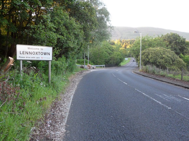
Lennoxtown (Old) railway station
Lennoxtown railway station served the town of Lennoxtown, Dunbartonshire, Scotland from 1848 to 1881 on the Blane Valley Railway. == History == The station...
Lennoxtown (New) railway station
Lennoxtown railway station served the town of Lennoxtown, Dunbartonshire, Scotland from 1867 to 1951 on the Blane Valley Railway. == History == The station...
Related Videos
Scotland from above - ep01 - "Cort-ma Law" hiking trail
segments from my first ever drone flight more episodes at: ...
Scottish Holiday Retreat
Scottish Holiday Retreat, pity about the restrictions. Miss it loads. Upper Woodburn, just half an hour from #Glasgow city center.

On Holiday with Mikey & Timmy
This is our first holiday since welcoming Timmy as a permanent member of the family.He is a great traveller,barking when he ...

A wee adventure
a wee wander up to Johnny's dam with @81bozzaboy music Music: Best Time Musician: FASSounds URL: ...
Nearby Amenities
Located within 500m of 55.972589,-4.1631022Have you been to North Derry Wood?
Leave your review of North Derry Wood below (or comments, questions and feedback).