Bar Wood
Wood, Forest in Kirkcudbrightshire
Scotland
Bar Wood
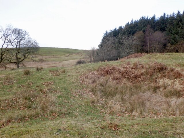
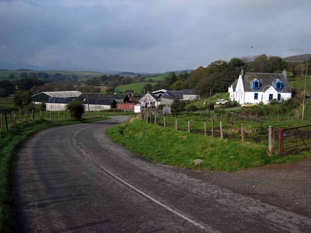
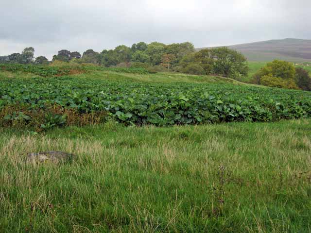
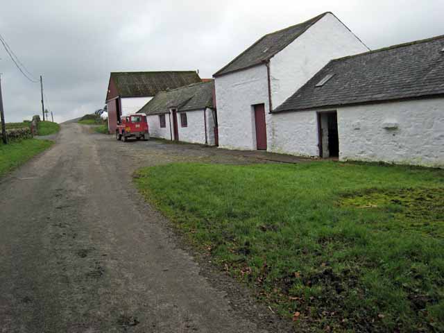
Bar Wood is a picturesque forest located in the historic county of Kirkcudbrightshire, Scotland. Situated near the town of Kirkcudbright, this woodland area spans an approximate area of several hectares. It is a popular destination for nature enthusiasts, hikers, and those seeking a tranquil escape from the hustle and bustle of city life.
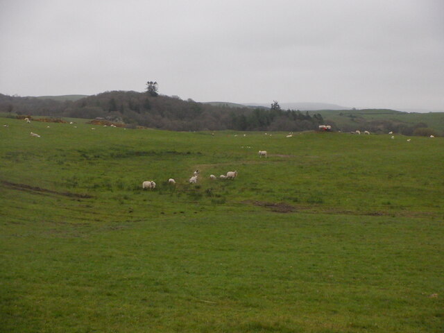
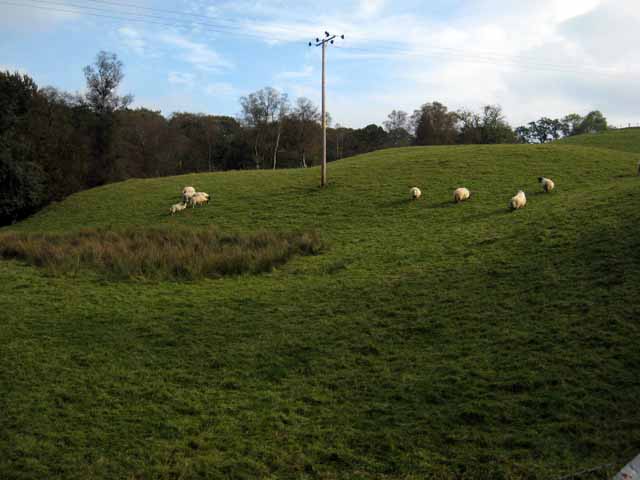
The woodland is predominantly composed of native tree species, including oak, beech, and birch, which create a diverse and vibrant ecosystem. The dense canopy provides shelter for a variety of wildlife, such as red squirrels, roe deer, and a plethora of bird species, making it an excellent spot for wildlife spotting and birdwatching.
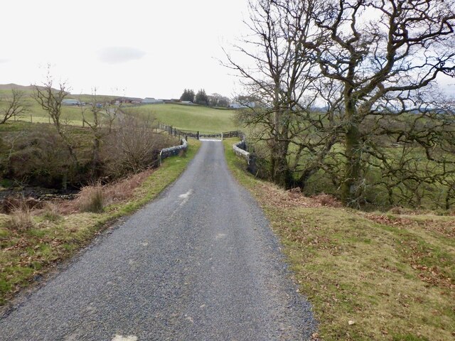
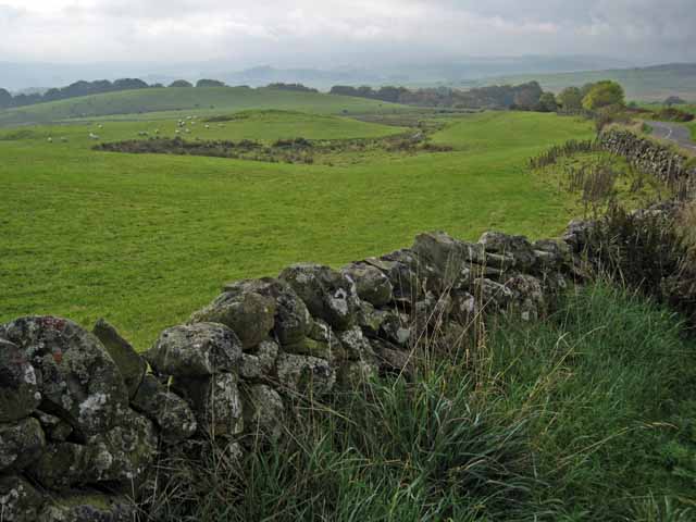
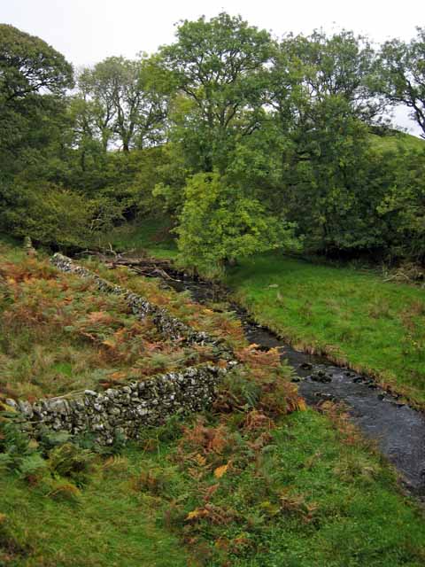
Bar Wood offers a network of well-maintained trails that wind through the forest, allowing visitors to explore its scenic beauty and enjoy a peaceful walk in nature. There are various routes to choose from, catering to different fitness levels and preferences. Along these paths, walkers can appreciate the beauty of the surrounding landscape, including stunning views of rolling hills and meandering streams.
The forest is managed by local authorities, ensuring its preservation and accessibility to the public. Visitors are encouraged to respect the natural environment and follow any guidelines or regulations in place to safeguard the woodland and its inhabitants.
Overall, Bar Wood is a cherished natural gem in Kirkcudbrightshire, offering a tranquil retreat for outdoor enthusiasts and nature lovers alike. Its diverse flora and fauna, combined with its well-maintained trails and scenic views, make it an idyllic destination for anyone seeking a peaceful escape in the heart of Scotland's countryside.
If you have any feedback on the listing, please let us know in the comments section below.
Bar Wood Images
Images are sourced within 2km of 55.108681/-4.1049372 or Grid Reference NX6581. Thanks to Geograph Open Source API. All images are credited.


Bar Wood is located at Grid Ref: NX6581 (Lat: 55.108681, Lng: -4.1049372)
Unitary Authority: Dumfries and Galloway
Police Authority: Dumfries and Galloway
What 3 Words
///dumps.slightly.hers. Near Castle Douglas, Dumfries & Galloway
Nearby Locations
Related Wikis

Barscobe Castle
Barscobe Castle is a 17th-century tower house in Balmaclellan, Kirkcudbrightshire, Scotland. It is a typical house of a country laird, and according to...

Balmaclellan
Balmaclellan (Scottish Gaelic: Baile Mac-a-ghille-dhiolan, meaning town of the MacLellans) is a small hillside village of stone houses with slate roofs...

Ken Bridge
The Ken Bridge is a road bridge about 0.8 kilometres (0.5 mi) north east of New Galloway in Dumfries and Galloway, Scotland, which carries the A712 road...

Lochinvar
Lochinvar (or Lan Var) is a loch in the civil parish of Dalry in the historic county of Kirkcudbrightshire, Dumfries and Galloway Scotland. It is located...
Related Videos
First Flight at Corriedoo Forest
Walking with our Labrador Megan in Corriedoo Forest in Dumfries & Galloway on New Year's Day 2024.
Nearby Amenities
Located within 500m of 55.108681,-4.1049372Have you been to Bar Wood?
Leave your review of Bar Wood below (or comments, questions and feedback).