Long Wood
Wood, Forest in Kirkcudbrightshire
Scotland
Long Wood
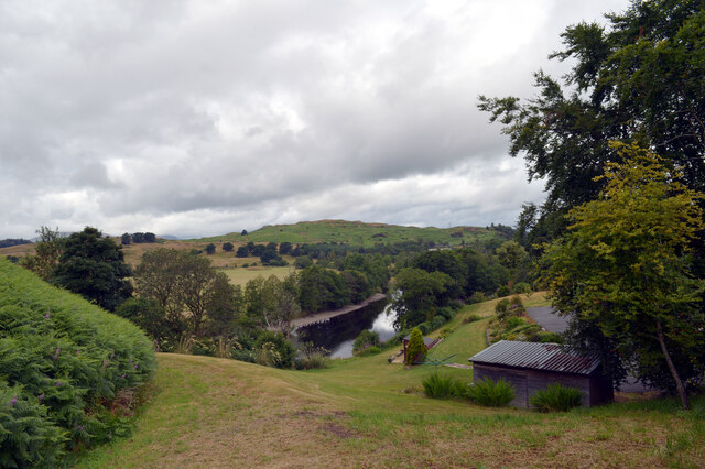
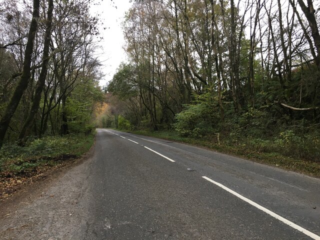
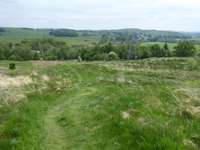
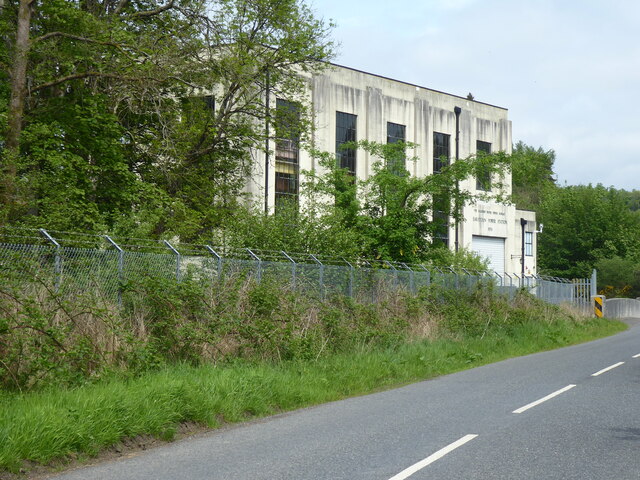
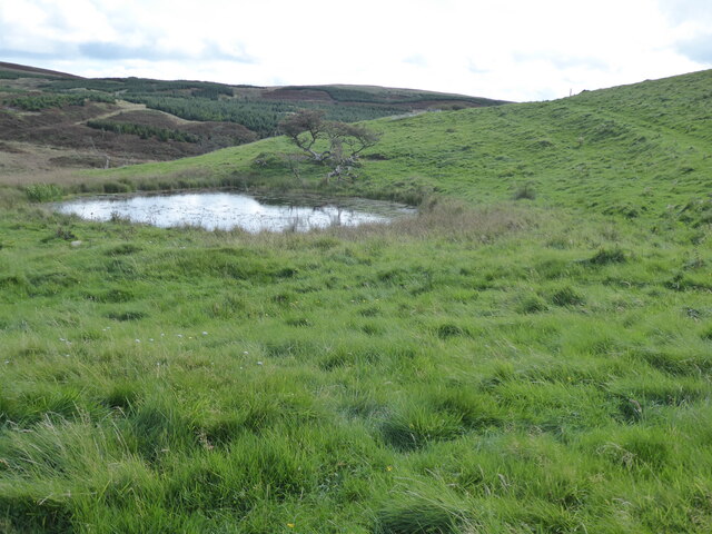
Long Wood is a picturesque forest located in Kirkcudbrightshire, Scotland. Covering an area of approximately 500 acres, it is a prominent natural attraction in the region. The wood is situated about 3 miles southeast of the town of Kirkcudbright and is easily accessible by road.
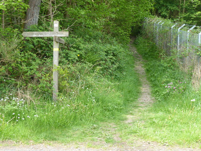
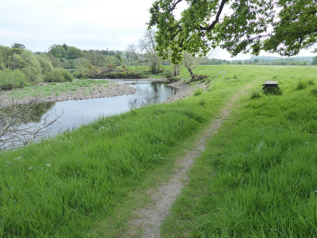
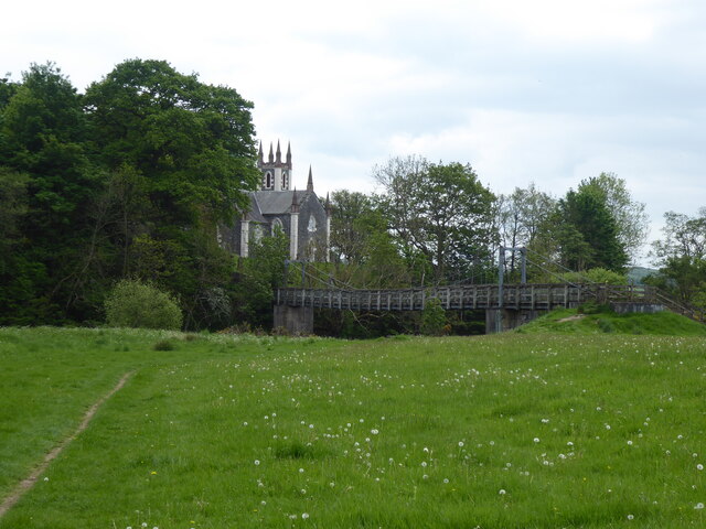
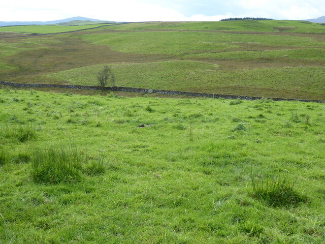
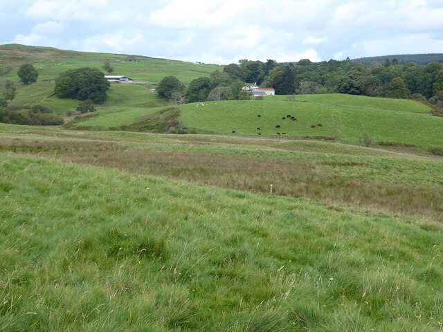
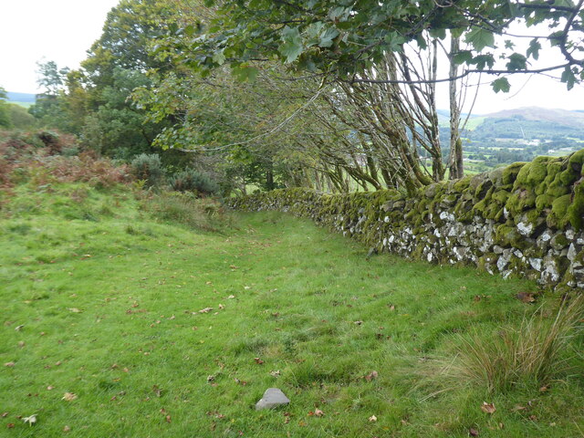
The forest is known for its breathtaking beauty and diverse flora and fauna. It primarily consists of mixed woodland, with a combination of broadleaf and coniferous trees. The towering oak, beech, and ash trees provide a dense canopy, creating a peaceful and serene atmosphere. Visitors can explore the numerous walking trails that wind through the wood, offering opportunities to appreciate the natural surroundings and observe wildlife.
Long Wood is home to a wide range of animal species, including red squirrels, roe deer, and various bird species. Nature enthusiasts and birdwatchers are often delighted by the sightings of rare and migratory birds in the area.
In addition to its natural beauty, Long Wood also holds historical significance. The ancient remains of Iron Age forts and burial grounds can be found within its boundaries, adding an element of intrigue and cultural importance to the site.
Overall, Long Wood is a haven for nature lovers and those seeking tranquility. Its striking landscapes, diverse wildlife, and historical remnants make it a must-visit destination for anyone exploring Kirkcudbrightshire.
If you have any feedback on the listing, please let us know in the comments section below.
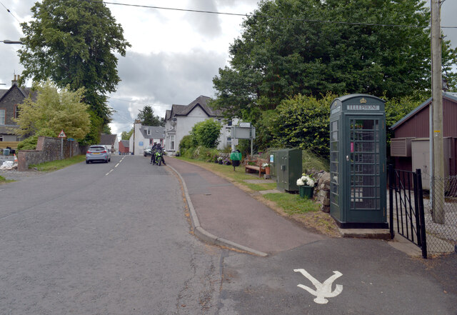
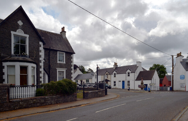
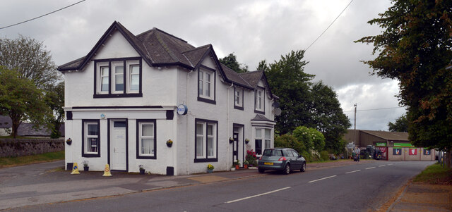
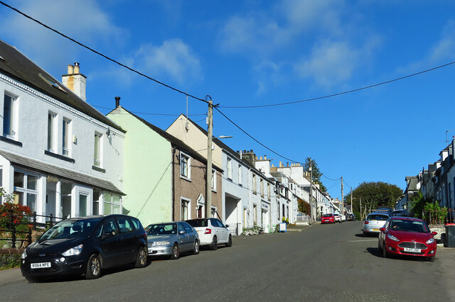
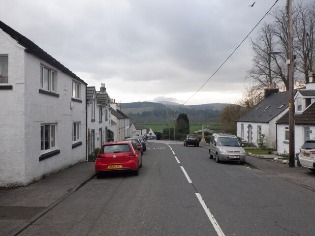
Long Wood Images
Images are sourced within 2km of 55.120036/-4.1536025 or Grid Reference NX6282. Thanks to Geograph Open Source API. All images are credited.
Long Wood is located at Grid Ref: NX6282 (Lat: 55.120036, Lng: -4.1536025)
Unitary Authority: Dumfries and Galloway
Police Authority: Dumfries and Galloway
What 3 Words
///deeds.shaky.doing. Near Castle Douglas, Dumfries & Galloway
Nearby Locations
Related Wikis

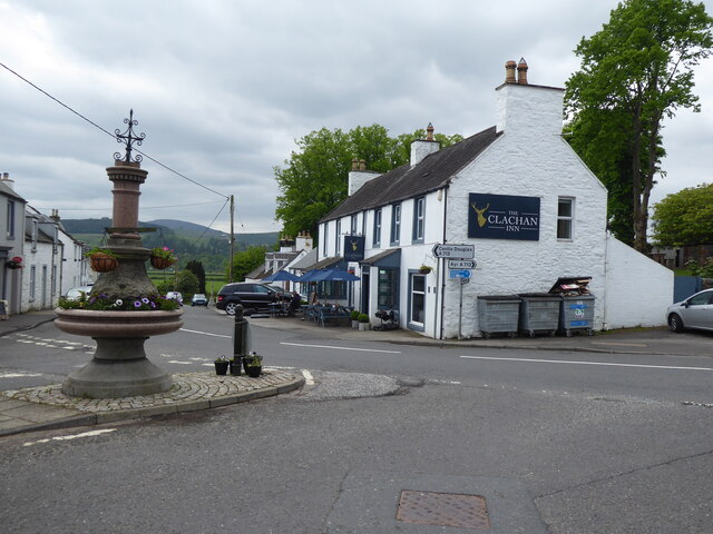
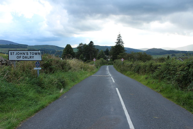
St John's Town of Dalry
St John's Town of Dalry (Scottish Gaelic: Clachan Eòin), usually referred to simply as Dalry (/dæl'raɪ/ / 'dal-RYE'), is a village in Dumfries and Galloway...

Earlstoun Castle
Earlstoun Castle, sometimes spelled Earlston Castle, is a derelict tower house near St John's Town of Dalry in Dumfries and Galloway, Scotland. Built in...

Polharrow Burn
Polharrow Burn is a small watercourse in Dumfries and Galloway, Scotland, in the historic county of Kirkcudbrightshire. It rises in Loch Harrow and flows...

Barscobe Castle
Barscobe Castle is a 17th-century tower house in Balmaclellan, Kirkcudbrightshire, Scotland. It is a typical house of a country laird, and according to...
Nearby Amenities
Located within 500m of 55.120036,-4.1536025Have you been to Long Wood?
Leave your review of Long Wood below (or comments, questions and feedback).