Mary's Plantation

Wood, Forest in Kirkcudbrightshire

Scotland

Mary's Plantation

Ayr Road (A713), St. John's Town of Dalry
Ayr Road (A713), St. John's Town of Dalry Credit: habiloid

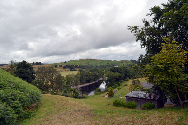
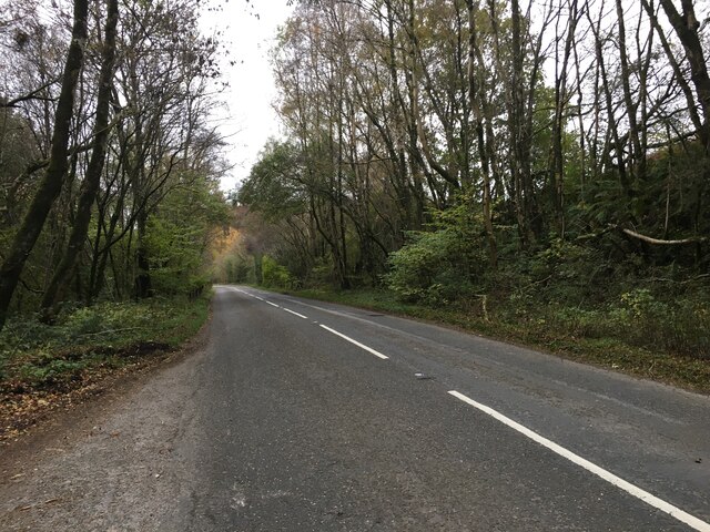
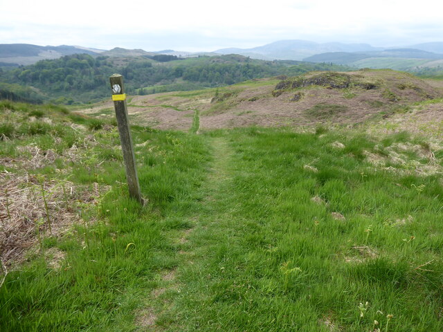
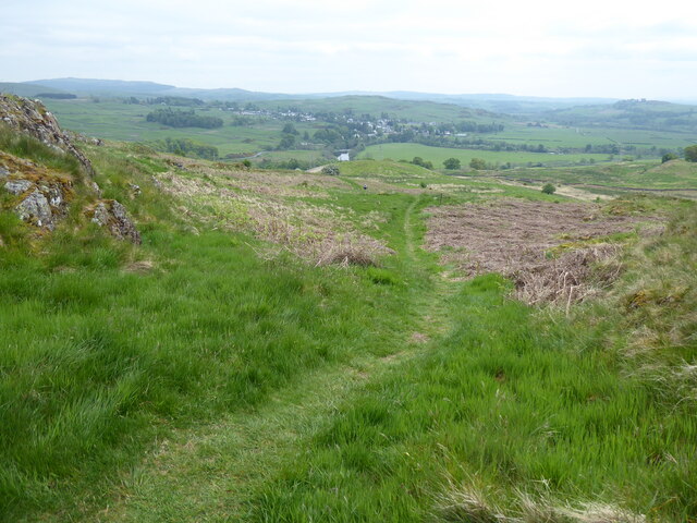
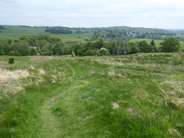
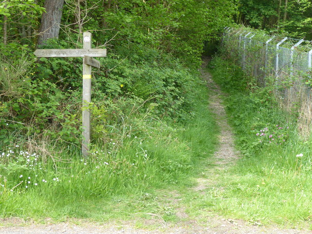
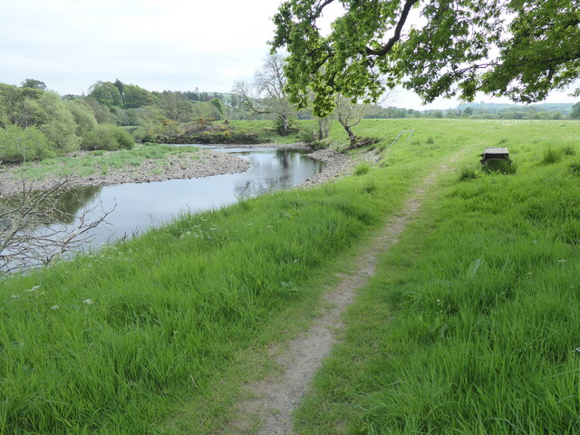
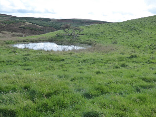
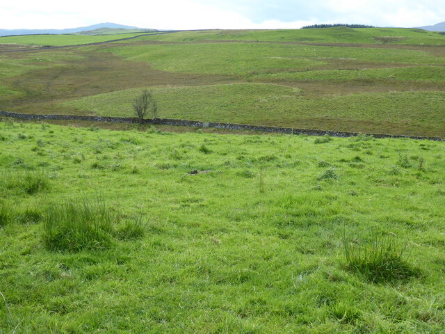
Mary's Plantation is a picturesque woodland area located in Kirkcudbrightshire, Scotland. Covering an expansive area of land, this plantation is nestled amidst the rolling hills and lush greenery of the region. The plantation is predominantly composed of dense forest, with a diverse range of tree species that create a vibrant and enchanting atmosphere.

The woodland is home to a rich variety of flora and fauna, making it a haven for nature enthusiasts and wildlife lovers. Tall, majestic oak trees tower over the landscape, while beech, ash, and birch trees provide a colorful display throughout the seasons. The forest floor is adorned with an array of wildflowers, ferns, and mosses, creating a tapestry of natural beauty.

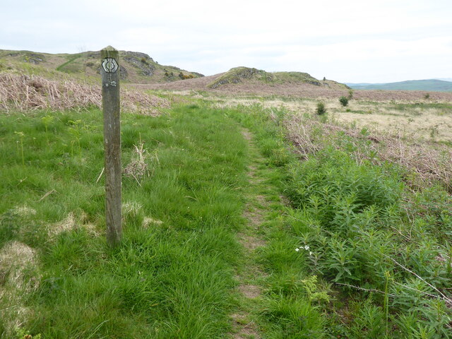
Visitors to Mary's Plantation can explore the numerous walking trails that wind their way through the forest, offering breathtaking views and opportunities for peaceful contemplation. The trails are well-maintained, ensuring a pleasant and accessible experience for visitors of all ages and abilities.

In addition to its natural beauty, Mary's Plantation holds historical significance. The area was once part of a vast estate owned by Mary, Queen of Scots, hence its name. It is said that Mary herself would often retreat to this peaceful woodland to seek solace and tranquility.

Overall, Mary's Plantation in Kirkcudbrightshire is a captivating destination that combines natural beauty, historical importance, and a serene ambiance. It provides a unique opportunity to immerse oneself in the wonders of nature and experience the enchantment of a Scottish woodland.

If you have any feedback on the listing, please let us know in the comments section below.

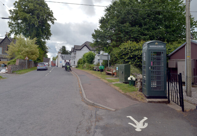
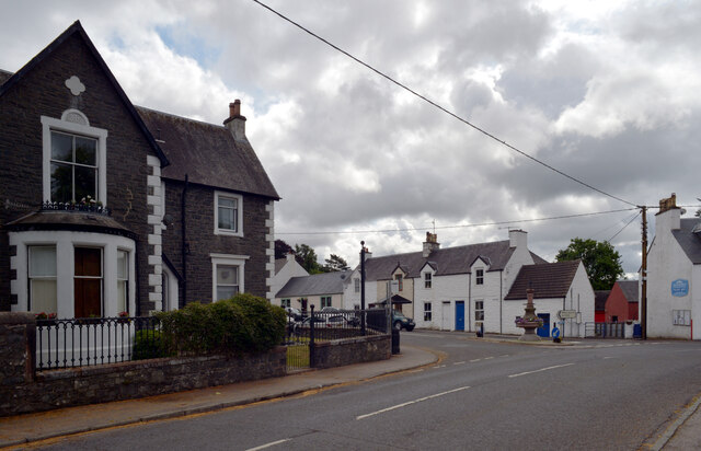
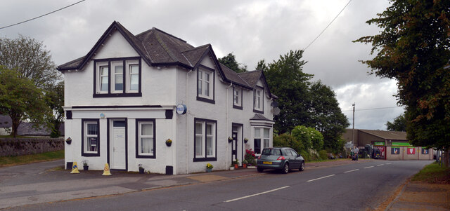
Mary's Plantation Images

Images are sourced within 2km of 55.119209/-4.1612424 or Grid Reference NX6282. Thanks to Geograph Open Source API. All images are credited.

Ayr Road (A713), St. John's Town of Dalry
Ayr Road (A713), St. John's Town of Dalry Looking towards its junction with Main Street.
Ayr Road (A713), St. John's Town of Dalry
Looking towards its junction with Main Street.
Police station, Ayr Road (A713), St. John's Town of Dalry
Water of Ken, St. John's Town of Dalry The view from the service station on Ayr Road.
Water of Ken, St. John's Town of Dalry
The view from the service station on Ayr Road.
Main Street, Dalry Most through traffic misses Main Street which lies off the A713.
Main Street, Dalry
Most through traffic misses Main Street which lies off the A713.
Main Street, Dalry
Main Street, Dalry
A713 towards Castle Douglas
The Southern Upland Way near Waterside Hill
The Southern Upland Way near Craiggubble Wood
The Southern Upland Way near St John's Town of Dalry
The Southern Upland Way in St John's Town of Dalry
The Southern Upland Way near Brown Rig
The Southern Upland Way near Knowehead of Ardoch
Show me another place!

Mary's Plantation is located at Grid Ref: NX6282 (Lat: 55.119209, Lng: -4.1612424)

Unitary Authority: Dumfries and Galloway

Police Authority: Dumfries and Galloway

What 3 Words

///resembles.eyeliner.rhino. Near Castle Douglas, Dumfries & Galloway

Related Wikis

St John's Town of Dalry

St John's Town of Dalry (Scottish Gaelic: Clachan Eòin), usually referred to simply as Dalry (/dæl'raɪ/ / 'dal-RYE'), is a village in Dumfries and Galloway...

Earlstoun Castle

Earlstoun Castle, sometimes spelled Earlston Castle, is a derelict tower house near St John's Town of Dalry in Dumfries and Galloway, Scotland. Built in...

Polharrow Burn

Polharrow Burn is a small watercourse in Dumfries and Galloway, Scotland, in the historic county of Kirkcudbrightshire. It rises in Loch Harrow and flows...

Barscobe Castle

Barscobe Castle is a 17th-century tower house in Balmaclellan, Kirkcudbrightshire, Scotland. It is a typical house of a country laird, and according to...

Nearby Amenities

Located within 500m of 55.119209,-4.1612424
Power: pole
Lat/Long: 55.1154651/-4.1585716
Power: pole
Lat/Long: 55.1158867/-4.1587585
Power: pole
Lat/Long: 55.1165707/-4.1590304
Power: pole
Lat/Long: 55.1172511/-4.159296
Power: pole
Lat/Long: 55.1179279/-4.1595701
Power: pole
Lat/Long: 55.1184795/-4.1597867
Power: pole
Lat/Long: 55.1192789/-4.1601033
Power: pole
Lat/Long: 55.1197345/-4.1605516
Power: pole
Lat/Long: 55.1202739/-4.1610869
Power: pole
Lat/Long: 55.1209919/-4.1617752
Power: pole
Lat/Long: 55.1213694/-4.1620433
Power: pole
Lat/Long: 55.1220512/-4.1625273
Power: pole
Lat/Long: 55.1226975/-4.1630032
Power: pole
Lat/Long: 55.1233802/-4.1634897
Power: pole
Lat/Long: 55.1211182/-4.1613121
Power: pole
Lat/Long: 55.1213782/-4.160405
Power: pole
Lat/Long: 55.1215641/-4.1597867
Power: pole
Lat/Long: 55.1211462/-4.162727
Power: pole
Lat/Long: 55.12071/-4.1640272
Power: pole
Lat/Long: 55.1203492/-4.1651489
Power: pole
Lat/Long: 55.1197053/-4.1652126
Power: pole
Lat/Long: 55.1190553/-4.165304
Power: pole
Lat/Long: 55.1188646/-4.165663
Power: pole
Lat/Long: 55.118375/-4.1665404
Power: pole
Lat/Long: 55.118132/-4.1675368
Power: pole
Lat/Long: 55.1179097/-4.1684715
The data included in this document is from www.openstreetmap.org. The data is made available under ODbL.

Have you been to Mary's Plantation?

Leave your review of Mary's Plantation below (or comments, questions and feedback).