Coill na Doire Duibhe
Wood, Forest in Inverness-shire
Scotland
Coill na Doire Duibhe

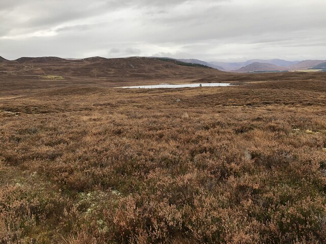
Coill na Doire Duibhe, located in Inverness-shire, Scotland, is a picturesque woodland area known for its natural beauty and rich biodiversity. Spanning over several acres, this forest is a haven for nature enthusiasts and outdoor adventurers alike.
The woodland is predominantly comprised of native Scottish trees, such as oak, birch, and pine, which provide a lush and verdant canopy. The forest floor is adorned with a vibrant array of wildflowers, creating a tapestry of colors during the spring and summer months.
Coill na Doire Duibhe offers a variety of walking trails, ranging from easy strolls to more challenging hikes, catering to all levels of fitness. These trails wind through the forest, allowing visitors to immerse themselves in the tranquility of nature while enjoying the beauty that surrounds them.
Wildlife thrives in Coill na Doire Duibhe, with a diverse range of species calling the forest their home. Birdwatchers can spot a multitude of feathered friends, including woodpeckers, owls, and buzzards. Mammals such as red squirrels, badgers, and deer can also be spotted, adding an element of excitement to any visit.
Additionally, the forest offers several amenities to enhance visitors' experiences. Well-maintained picnic areas and benches are scattered throughout the woodland, providing the perfect spot to relax and enjoy a packed lunch amidst the serenity of nature. Interpretive signs and information boards offer educational insights into the forest's history, flora, and fauna, promoting a deeper understanding and appreciation of the natural environment.
Whether it's for a leisurely stroll, a wildlife-spotting adventure, or simply a moment of tranquility, Coill na Doire Duibhe is a must-visit destination for nature lovers and those seeking a peaceful escape in the heart of Inverness-shire.
If you have any feedback on the listing, please let us know in the comments section below.
Coill na Doire Duibhe Images
Images are sourced within 2km of 56.987887/-4.2687321 or Grid Reference NN6290. Thanks to Geograph Open Source API. All images are credited.


Coill na Doire Duibhe is located at Grid Ref: NN6290 (Lat: 56.987887, Lng: -4.2687321)
Unitary Authority: Highland
Police Authority: Highlands and Islands
What 3 Words
///markets.restless.hence. Near Newtonmore, Highland
Nearby Locations
Related Wikis

Catlodge
Catlodge (Scottish Gaelic: Caitleag) is a hamlet, in the district of Newtonmore in Inverness-shire, Scottish Highlands and is in the Scottish council...

Laggan, Badenoch
Laggan (Gaelic: Lagan ) is a village in Badenoch, in the Highland region of Scotland. It is beside the River Spey, about 10 km west of Newtonmore. The...

Dùn dà Làmh
Dùn dà Làmh is a Pictish now ruined hill fort near Laggan in the Scottish Highlands. It became a scheduled monument in 1986, with an extension to the protected...
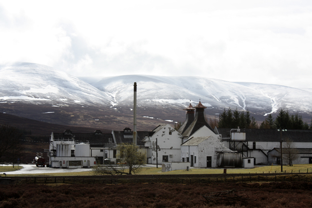
Dalwhinnie distillery
Dalwhinnie distillery, situated in the Highland village of Dalwhinnie in Scotland, produces single malt Scotch whisky. Whilst labelled as Highland, as...
Have you been to Coill na Doire Duibhe?
Leave your review of Coill na Doire Duibhe below (or comments, questions and feedback).