Betty's Plantation
Wood, Forest in Kirkcudbrightshire
Scotland
Betty's Plantation
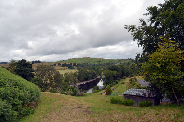
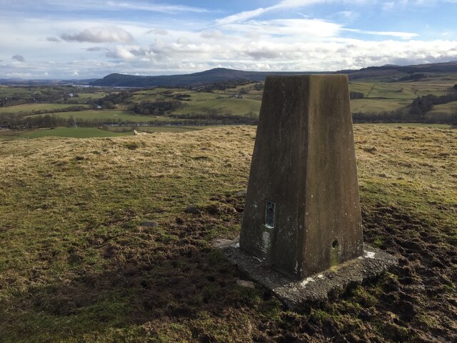
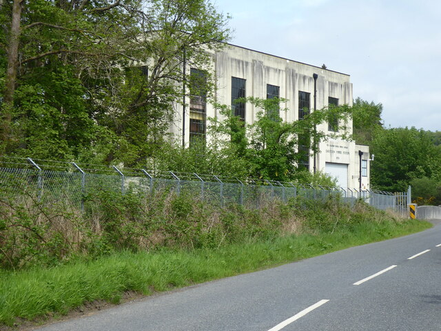
Betty's Plantation is located in the picturesque region of Kirkcudbrightshire in Scotland. This woodland area covers approximately 100 acres and is widely known for its diverse range of plant species and scenic beauty. The plantation is situated near the town of Kirkcudbright, making it easily accessible for visitors.
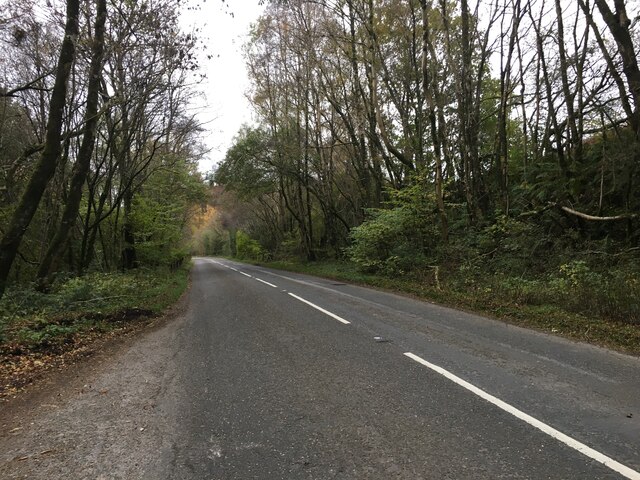
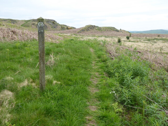
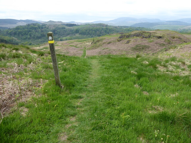
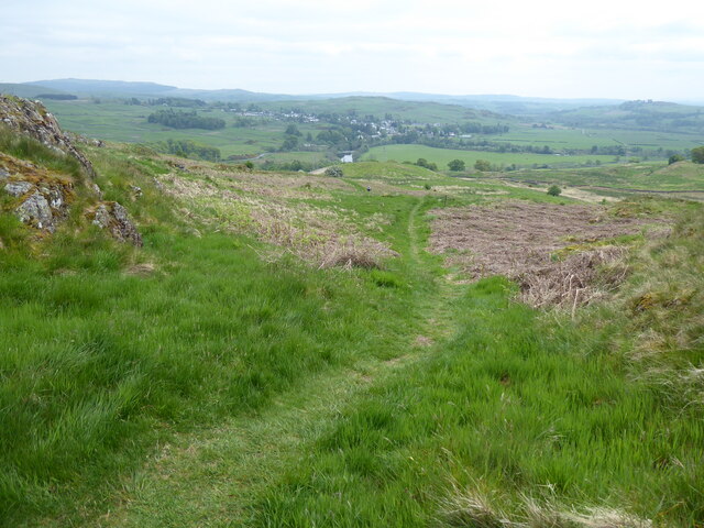
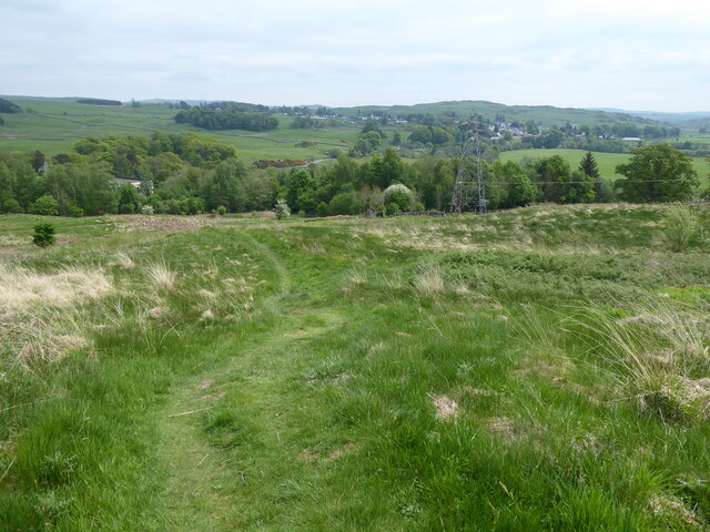
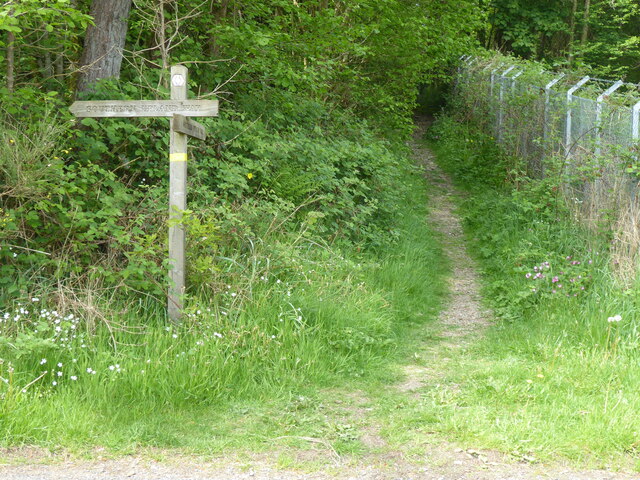
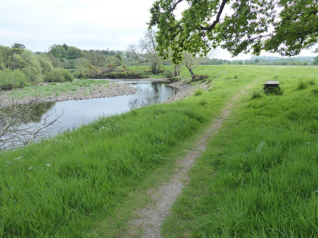
The woodland is predominantly made up of native tree species such as oak, beech, and pine, which thrive in the region's mild climate and fertile soil. These trees form a dense canopy, providing a peaceful and tranquil environment for nature enthusiasts and hikers. The plantation also features well-maintained walking trails that wind through the forest, allowing visitors to explore the area at their own pace.
Betty's Plantation is home to a rich variety of wildlife, including red squirrels, roe deer, and a wide range of bird species. Birdwatchers often flock to the area to catch glimpses of rare and migratory birds that inhabit the woodland. The plantation's diverse ecosystem also supports a vibrant array of plant life, with wildflowers, ferns, and mosses adding to its natural charm.
The management of Betty's Plantation is committed to preserving the natural integrity of the woodland, ensuring that it remains a haven for biodiversity. Conservation efforts are in place to protect the rare and endangered species that call this woodland home.
Overall, Betty's Plantation in Kirkcudbrightshire is a pristine woodland area that offers visitors a chance to immerse themselves in nature. Its lush vegetation, well-maintained trails, and diverse wildlife make it a popular destination for both locals and tourists seeking solace in the beauty of the Scottish countryside.
If you have any feedback on the listing, please let us know in the comments section below.
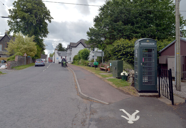
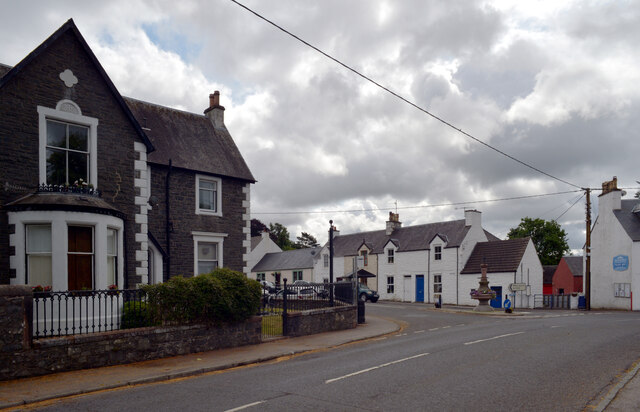
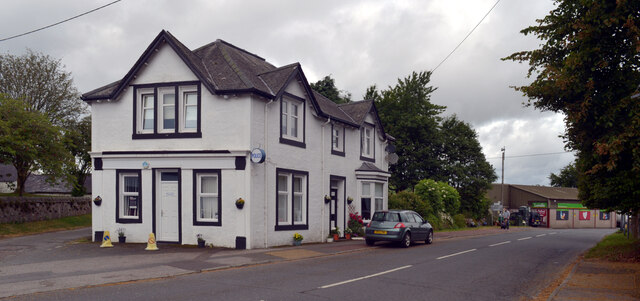
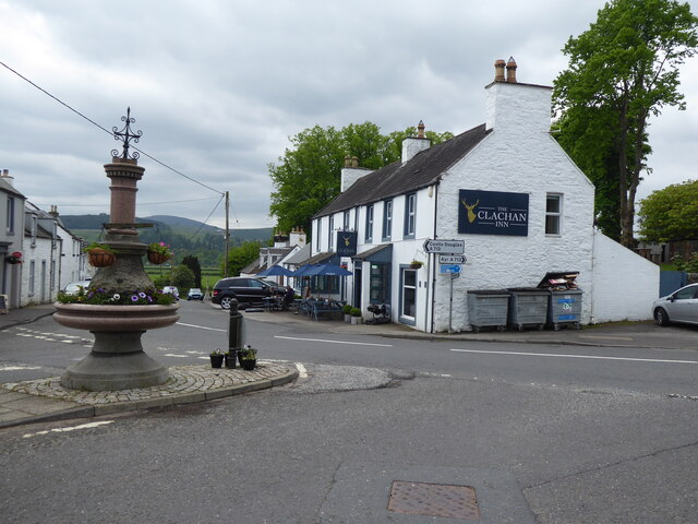
Betty's Plantation Images
Images are sourced within 2km of 55.116398/-4.1610749 or Grid Reference NX6282. Thanks to Geograph Open Source API. All images are credited.
Betty's Plantation is located at Grid Ref: NX6282 (Lat: 55.116398, Lng: -4.1610749)
Unitary Authority: Dumfries and Galloway
Police Authority: Dumfries and Galloway
What 3 Words
///hired.ambushed.first. Near Castle Douglas, Dumfries & Galloway
Nearby Locations
Related Wikis

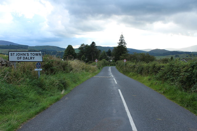
St John's Town of Dalry
St John's Town of Dalry (Scottish Gaelic: Clachan Eòin), usually referred to simply as Dalry (/dæl'raɪ/ / 'dal-RYE'), is a village in Dumfries and Galloway...

Earlstoun Castle
Earlstoun Castle, sometimes spelled Earlston Castle, is a derelict tower house near St John's Town of Dalry in Dumfries and Galloway, Scotland. Built in...

Polharrow Burn
Polharrow Burn is a small watercourse in Dumfries and Galloway, Scotland, in the historic county of Kirkcudbrightshire. It rises in Loch Harrow and flows...

Barscobe Castle
Barscobe Castle is a 17th-century tower house in Balmaclellan, Kirkcudbrightshire, Scotland. It is a typical house of a country laird, and according to...

Kells, Dumfries and Galloway
Kells parish, in the Stewartry of Kirkcudbright in Scotland, is located 14 miles (NWbN) from Castle-Douglas, and 19 miles (NbW) from Kirkcudbright. It...

Ken Bridge
The Ken Bridge is a road bridge about 0.8 kilometres (0.5 mi) north east of New Galloway in Dumfries and Galloway, Scotland, which carries the A712 road...

Balmaclellan
Balmaclellan (Scottish Gaelic: Baile Mac-a-ghille-dhiolan, meaning town of the MacLellans) is a small hillside village of stone houses with slate roofs...

Lochinvar
Lochinvar (or Lan Var) is a loch in the civil parish of Dalry in the historic county of Kirkcudbrightshire, Dumfries and Galloway Scotland. It is located...
Nearby Amenities
Located within 500m of 55.116398,-4.1610749Have you been to Betty's Plantation?
Leave your review of Betty's Plantation below (or comments, questions and feedback).