Tent Plantation
Wood, Forest in Kirkcudbrightshire
Scotland
Tent Plantation
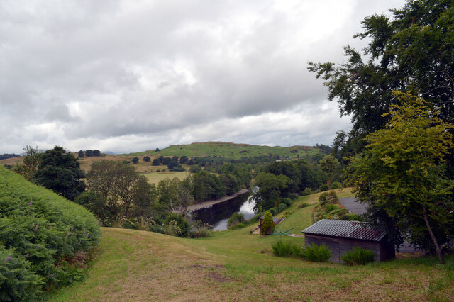
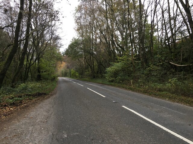
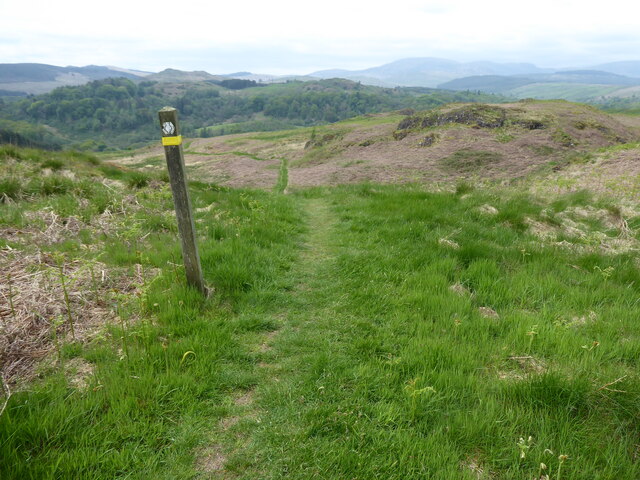
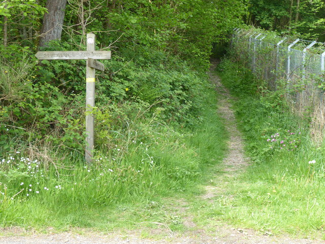
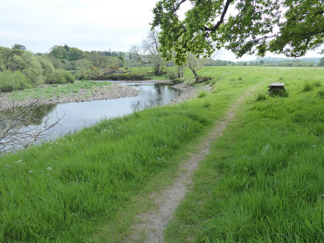
Tent Plantation, located in Kirkcudbrightshire, is a picturesque woodland area known for its natural beauty and diverse flora and fauna. Covering a vast area, the plantation is a popular destination for nature enthusiasts and those seeking a peaceful retreat in the heart of Scotland.
The woodland is primarily composed of a mix of native tree species, including oak, ash, birch, and beech, creating a rich and varied ecosystem. These trees provide shelter and food for a wide range of wildlife, making Tent Plantation a haven for birdwatchers and animal lovers alike. Visitors can expect to spot various species of birds, such as woodpeckers, owls, and songbirds, as well as mammals like squirrels, deer, and occasionally, red squirrels.
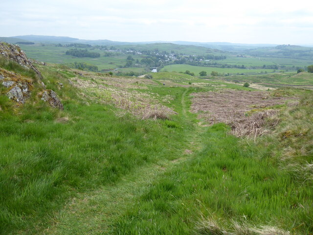
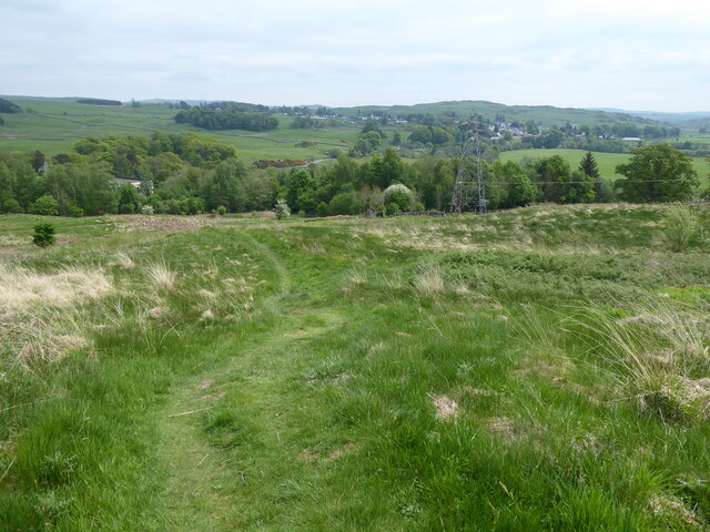
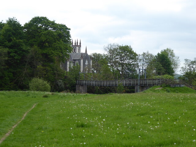
The plantation is crisscrossed with well-maintained walking trails, allowing visitors to explore the area at their own pace. These trails offer breathtaking views of the surrounding countryside, with occasional glimpses of nearby rivers and streams. The diverse terrain includes gentle slopes, dense woodlands, and open clearings, adding to the allure of the plantation.
Tent Plantation is also home to a number of historical features, including the ruins of an old estate and remnants of former agricultural activities. These remnants serve as a reminder of the area's past and add an interesting element to the overall experience of visiting the plantation.
Overall, Tent Plantation in Kirkcudbrightshire offers a serene escape into nature, where visitors can immerse themselves in the beauty of the woodland, observe wildlife, and enjoy the tranquility of the Scottish countryside.
If you have any feedback on the listing, please let us know in the comments section below.
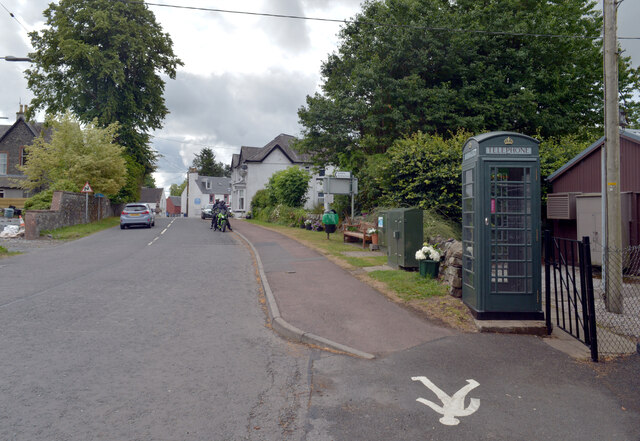
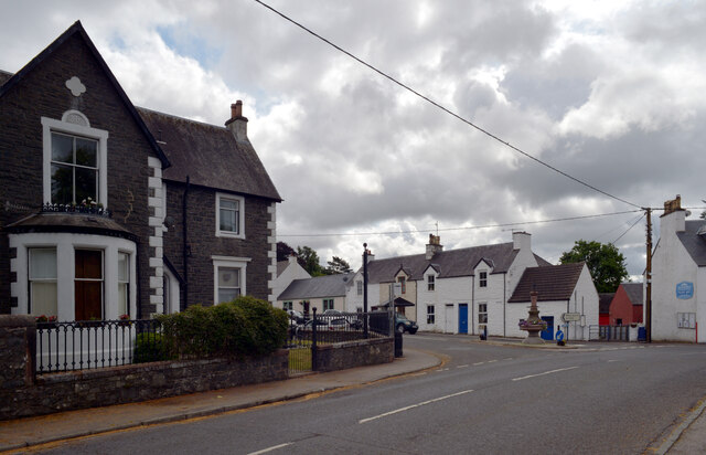
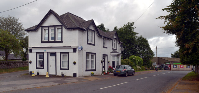
Tent Plantation Images
Images are sourced within 2km of 55.117523/-4.1574504 or Grid Reference NX6282. Thanks to Geograph Open Source API. All images are credited.

Tent Plantation is located at Grid Ref: NX6282 (Lat: 55.117523, Lng: -4.1574504)
Unitary Authority: Dumfries and Galloway
Police Authority: Dumfries and Galloway
What 3 Words
///direction.sues.surprised. Near Castle Douglas, Dumfries & Galloway
Nearby Locations
Related Wikis

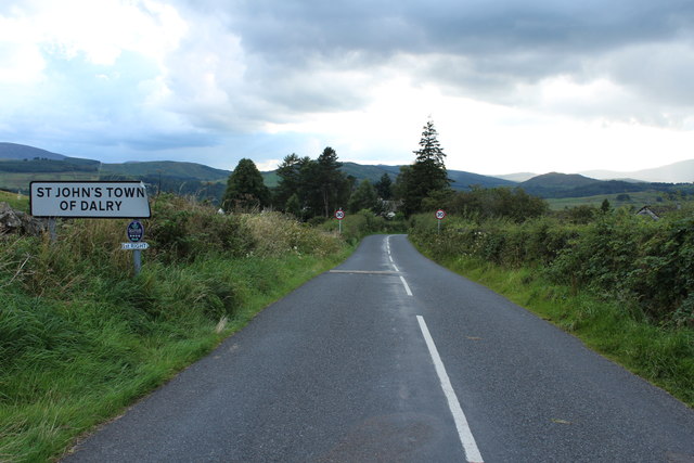
St John's Town of Dalry
St John's Town of Dalry (Scottish Gaelic: Clachan Eòin), usually referred to simply as Dalry (/dæl'raɪ/ / 'dal-RYE'), is a village in Dumfries and Galloway...

Earlstoun Castle
Earlstoun Castle, sometimes spelled Earlston Castle, is a derelict tower house near St John's Town of Dalry in Dumfries and Galloway, Scotland. Built in...

Polharrow Burn
Polharrow Burn is a small watercourse in Dumfries and Galloway, Scotland, in the historic county of Kirkcudbrightshire. It rises in Loch Harrow and flows...

Barscobe Castle
Barscobe Castle is a 17th-century tower house in Balmaclellan, Kirkcudbrightshire, Scotland. It is a typical house of a country laird, and according to...

Kells, Dumfries and Galloway
Kells parish, in the Stewartry of Kirkcudbright in Scotland, is located 14 miles (NWbN) from Castle-Douglas, and 19 miles (NbW) from Kirkcudbright. It...

Balmaclellan
Balmaclellan (Scottish Gaelic: Baile Mac-a-ghille-dhiolan, meaning town of the MacLellans) is a small hillside village of stone houses with slate roofs...

Lochinvar
Lochinvar (or Lan Var) is a loch in the civil parish of Dalry in the historic county of Kirkcudbrightshire, Dumfries and Galloway Scotland. It is located...

Ken Bridge
The Ken Bridge is a road bridge about 0.8 kilometres (0.5 mi) north east of New Galloway in Dumfries and Galloway, Scotland, which carries the A712 road...
Nearby Amenities
Located within 500m of 55.117523,-4.1574504Have you been to Tent Plantation?
Leave your review of Tent Plantation below (or comments, questions and feedback).