Black Loch Moss
Wood, Forest in Lanarkshire
Scotland
Black Loch Moss
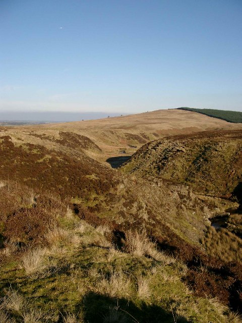
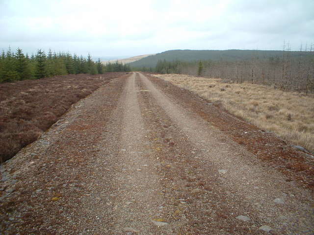
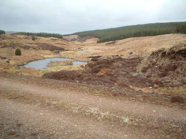
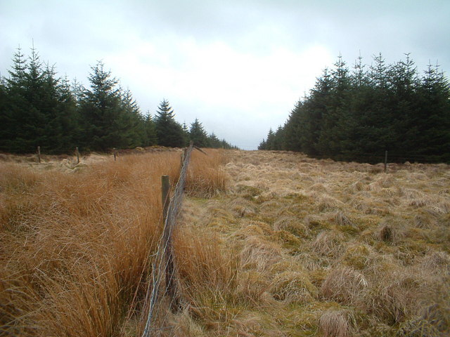
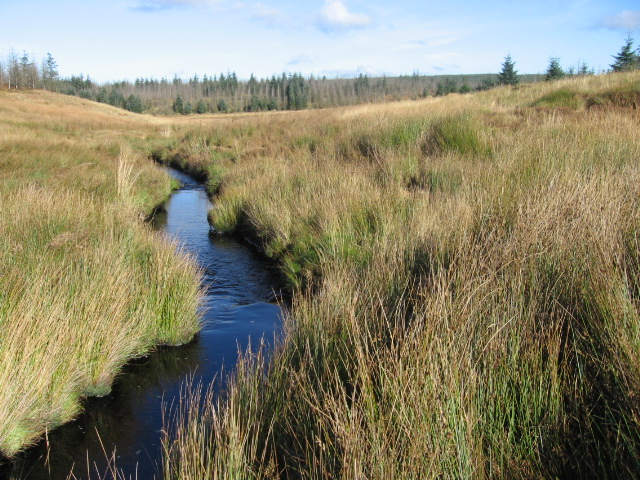
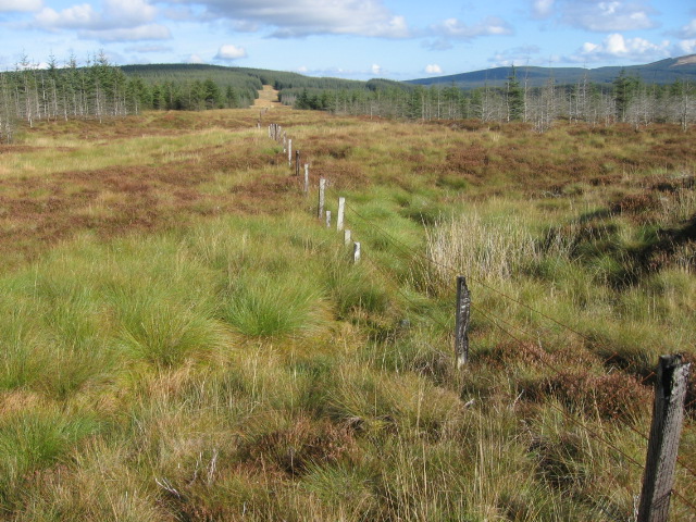
Black Loch Moss is a woodland area located in Lanarkshire, Scotland. It is situated near the village of Lesmahagow, approximately 25 miles southeast of Glasgow. Covering an area of around 150 hectares, Black Loch Moss is a diverse and thriving forest ecosystem.
The woodland is predominantly made up of native deciduous species such as oak, birch, and rowan, with patches of coniferous trees including Scots pine and larch. This mix of tree species provides a variety of habitats for a wide range of flora and fauna.
The forest floor is covered in a thick layer of moss, giving the woodland its name. The moss creates a lush, green carpet that adds to the overall beauty of the area. It also acts as a natural sponge, helping to retain water and prevent soil erosion.
Black Loch Moss is home to a diverse array of wildlife. Birds such as great spotted woodpeckers, tawny owls, and song thrushes can be spotted among the trees. Mammals such as red squirrels, roe deer, and foxes also inhabit the woodland.
The area is a popular destination for nature enthusiasts and outdoor enthusiasts alike. There are several walking trails that allow visitors to explore the forest, offering opportunities for birdwatching, photography, and peaceful walks in nature. Black Loch Moss provides a tranquil escape from the surrounding urban environment, giving visitors a chance to connect with nature and enjoy the beauty of the Scottish countryside.
If you have any feedback on the listing, please let us know in the comments section below.
Black Loch Moss Images
Images are sourced within 2km of 55.571964/-4.1810863 or Grid Reference NS6233. Thanks to Geograph Open Source API. All images are credited.


Black Loch Moss is located at Grid Ref: NS6233 (Lat: 55.571964, Lng: -4.1810863)
Unitary Authority: South Lanarkshire
Police Authority: Lanarkshire
What 3 Words
///loving.warm.throat. Near Darvel, East Ayrshire
Nearby Locations
Related Wikis

Loch Gate
Loch Gate (NS 62389 37170), previously known as Loch Gait, was a freshwater loch, partly in the East Ayrshire Council Area and partly in South Lanarkshire...

Battle of Loudoun Hill
The Battle of Loudoun Hill was fought on 10 May 1307, between a Scots force led by King Robert the Bruce and the English commanded by Aymer de Valence...
Loudounhill railway station
Loudounhill (NS 60268 37191) was a railway station on the Darvel and Strathaven Railway serving a rural area that included the landmark of Loudoun Hill...
Loudoun Hill
Loudoun Hill (Scottish Gaelic: Beinn Lùghdain; also commonly Loudounhill) is a volcanic plug in East Ayrshire, Scotland. It is located near the head of...

Dungavel
Dungavel Immigration Removal Centre is an immigration detention facility in South Lanarkshire, Scotland, near the town of Strathaven that is also known...

Garpel Linn
Garpel Linn is a waterfall of Scotland. == See also == Waterfalls of Scotland == References ==

Drumclog railway station
Drumclog (NS 63889 38645) was a railway station on the Darvel and Strathaven Railway serving a rural area that included the village of Drumclog in South...

Drumclog
Drumclog is a small village in South Lanarkshire, Parish of Avendale and Drumclog, Scotland. The habitation is situated on the A71, between Caldermill...
Nearby Amenities
Located within 500m of 55.571964,-4.1810863Have you been to Black Loch Moss?
Leave your review of Black Loch Moss below (or comments, questions and feedback).