Blawquhairn Hill
Hill, Mountain in Kirkcudbrightshire
Scotland
Blawquhairn Hill
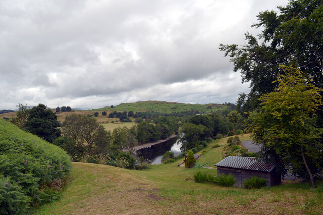
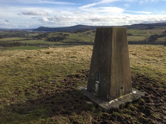
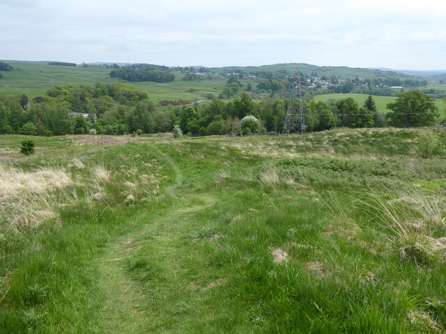
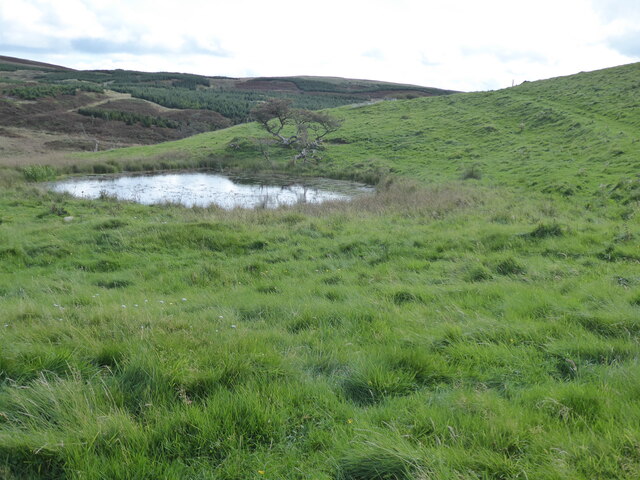
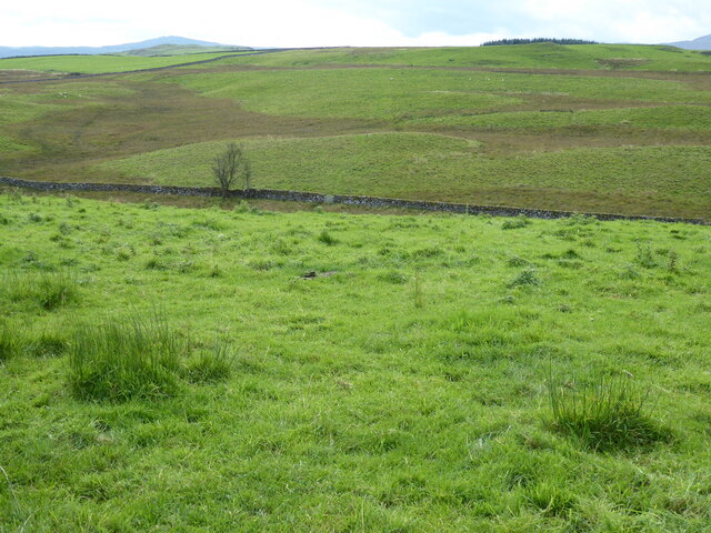
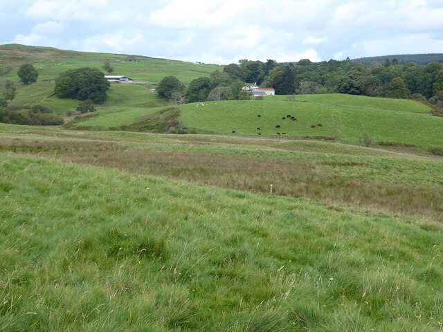
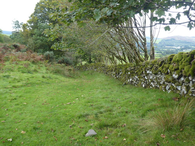
Blawquhairn Hill is a prominent hill located in Kirkcudbrightshire, Scotland. It stands at an elevation of 241 meters (791 feet) above sea level and offers stunning panoramic views of the surrounding countryside. The hill is a popular destination for hikers and nature enthusiasts, thanks to its relatively easy access and well-maintained paths.
At the summit of Blawquhairn Hill, visitors can enjoy breathtaking views of the rolling hills and lush green valleys of Kirkcudbrightshire. On a clear day, it is possible to see as far as the Solway Firth and even the mountains of the Lake District in England.
The hill is home to a variety of plant and animal species, making it a haven for wildlife enthusiasts. Birdwatchers may spot buzzards, kestrels, and other birds of prey soaring overhead, while wildflowers such as bluebells and primroses carpet the hillside in spring.
Overall, Blawquhairn Hill offers a peaceful and scenic retreat for those looking to escape the hustle and bustle of everyday life and immerse themselves in the natural beauty of Scotland's countryside.
If you have any feedback on the listing, please let us know in the comments section below.
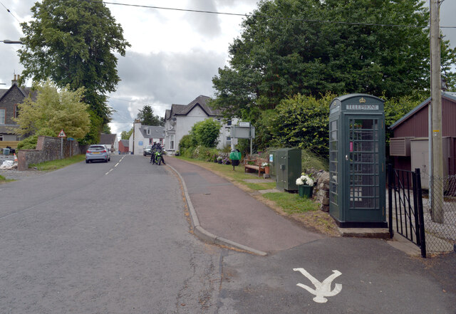
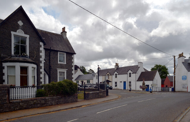
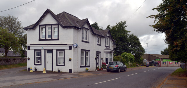
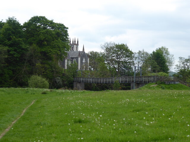
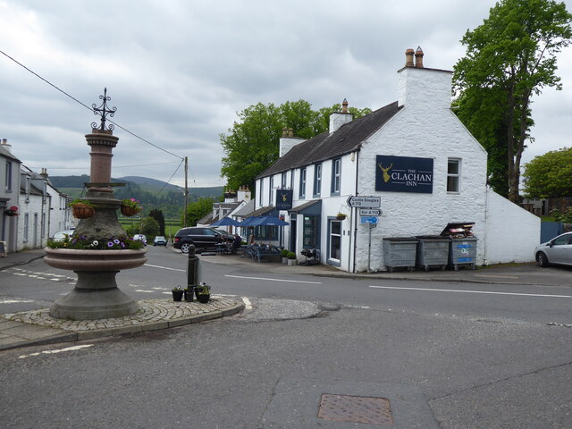
Blawquhairn Hill Images
Images are sourced within 2km of 55.11594/-4.1524254 or Grid Reference NX6282. Thanks to Geograph Open Source API. All images are credited.
Blawquhairn Hill is located at Grid Ref: NX6282 (Lat: 55.11594, Lng: -4.1524254)
Unitary Authority: Dumfries and Galloway
Police Authority: Dumfries and Galloway
What 3 Words
///sailing.convey.compelled. Near Castle Douglas, Dumfries & Galloway
Nearby Locations
Related Wikis

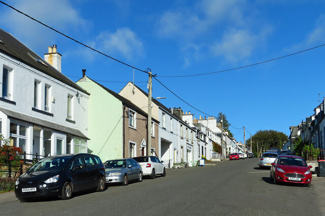
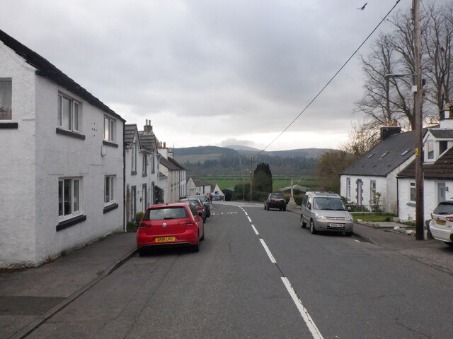
St John's Town of Dalry
St John's Town of Dalry (Scottish Gaelic: Clachan Eòin), usually referred to simply as Dalry (/dæl'raɪ/ / 'dal-RYE'), is a village in Dumfries and Galloway...

Earlstoun Castle
Earlstoun Castle, sometimes spelled Earlston Castle, is a derelict tower house near St John's Town of Dalry in Dumfries and Galloway, Scotland. Built in...

Polharrow Burn
Polharrow Burn is a small watercourse in Dumfries and Galloway, Scotland, in the historic county of Kirkcudbrightshire. It rises in Loch Harrow and flows...

Barscobe Castle
Barscobe Castle is a 17th-century tower house in Balmaclellan, Kirkcudbrightshire, Scotland. It is a typical house of a country laird, and according to...
Nearby Amenities
Located within 500m of 55.11594,-4.1524254Have you been to Blawquhairn Hill?
Leave your review of Blawquhairn Hill below (or comments, questions and feedback).