Capel-y-graig
Settlement in Caernarfonshire
Wales
Capel-y-graig
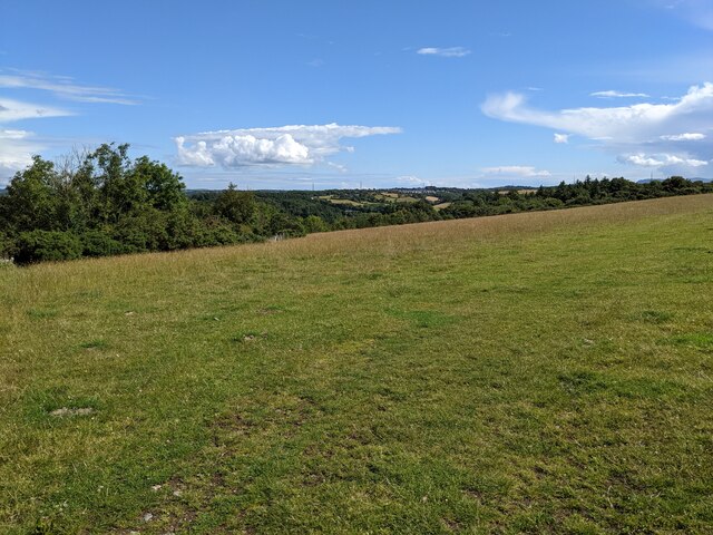
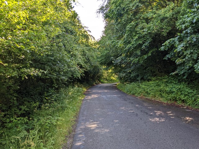
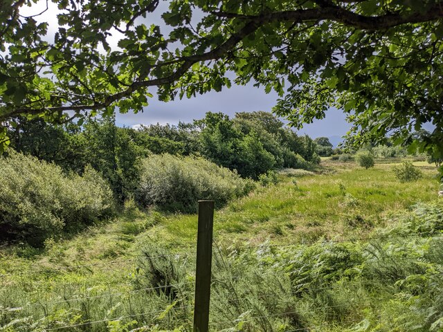
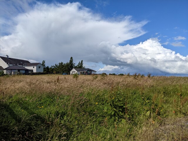
Capel-y-graig is a small village located in the county of Caernarfonshire, Wales. Situated on the banks of the river Dwyfor, it is nestled within the beautiful Snowdonia National Park, offering stunning views of the surrounding mountains and valleys.
The origins of Capel-y-graig can be traced back to the 19th century when it was primarily an agricultural settlement. Over the years, it has retained its rural charm, with a scattering of traditional stone cottages and farmhouses still standing.
The village is known for its close-knit community and friendly atmosphere. The residents take great pride in their surroundings and maintain the village with immaculate gardens and well-preserved buildings. The local chapel, from which the village derives its name, remains a focal point for religious and social gatherings.
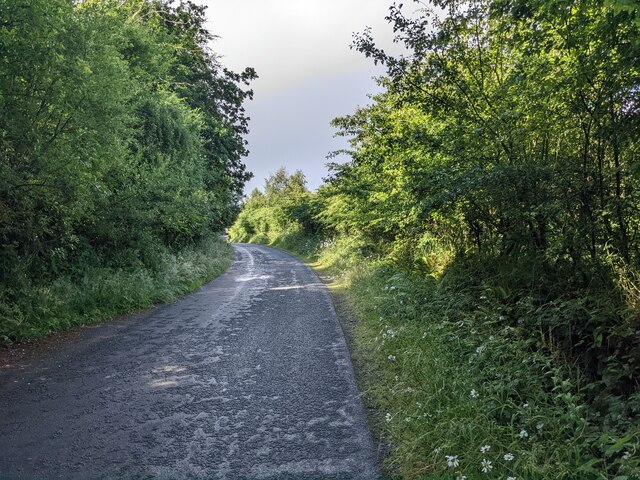
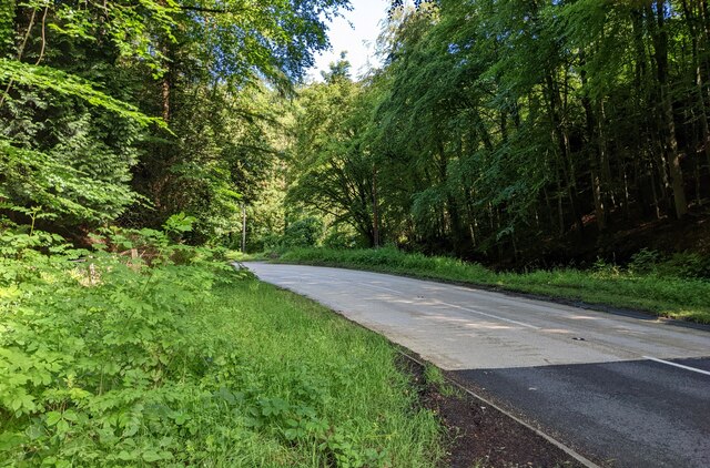
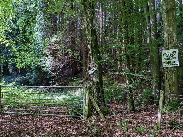
Nature enthusiasts are drawn to Capel-y-graig for its proximity to the stunning natural landscape. The village serves as an ideal base for hikers and outdoor enthusiasts to explore the numerous walking trails and mountain paths in the area. The nearby river Dwyfor provides ample opportunities for fishing and canoeing.
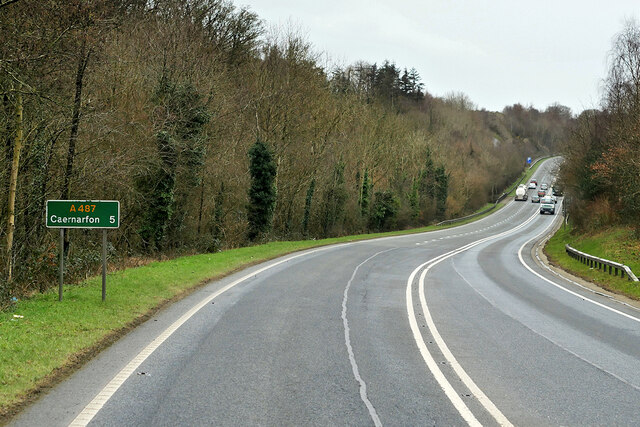
Despite its peaceful setting, Capel-y-graig is well-connected to nearby towns and amenities. The bustling town of Caernarfon is just a short drive away, offering a range of shops, restaurants, and cultural attractions. Additionally, the village is within easy reach of major road networks, making it accessible to those seeking a tranquil rural lifestyle while still being connected to the wider world.
In summary, Capel-y-graig is a picturesque village situated within the stunning Snowdonia National Park. With its rich natural beauty and strong community spirit, it offers a peaceful retreat for residents and an idyllic destination for visitors.
If you have any feedback on the listing, please let us know in the comments section below.
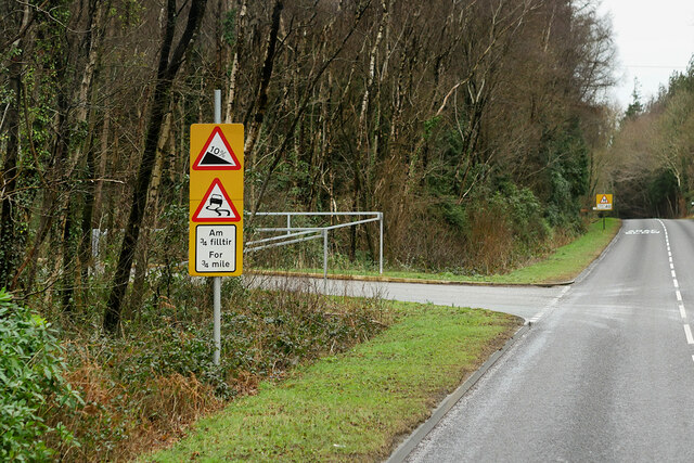
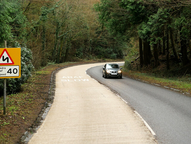
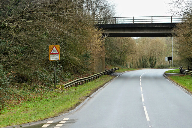
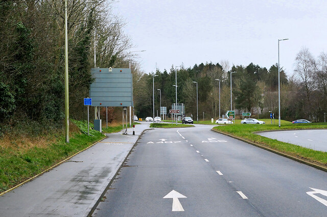
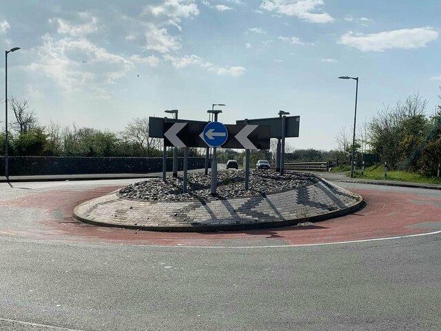
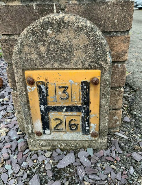
Capel-y-graig Images
Images are sourced within 2km of 53.202148/-4.17476 or Grid Reference SH5469. Thanks to Geograph Open Source API. All images are credited.

Capel-y-graig is located at Grid Ref: SH5469 (Lat: 53.202148, Lng: -4.17476)
Unitary Authority: Gwynedd
Police Authority: North Wales
What 3 Words
///cookbooks.cheerily.satin. Near Y Felinheli, Gwynedd
Nearby Locations
Related Wikis
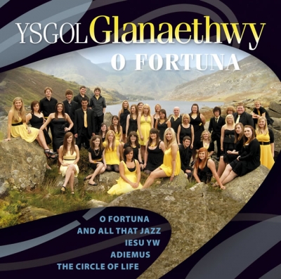
Ysgol Glanaethwy
Ysgol Glanaethwy is a drama school in Bangor, Gwynedd, Wales. It is known in particular for its choir, Côr Glanaethwy. == History == Ysgol Glanaethwy was...

Treborth railway station
Treborth railway station was a railway station located on the Bangor and Carnarvon Railway, about half a mile south of the Britannia Bridge, Caernarfonshire...
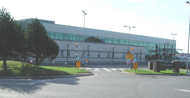
Ysbyty Gwynedd
Ysbyty Gwynedd (English: Gwynedd Hospital) is a district general hospital in Bangor, Gwynedd, Wales. It is managed by Betsi Cadwaladr University Health...

Vaynol
Vaynol or Y Faenol (Welsh [ə ˈveɨnɔl]) is a country estate dating from the Tudor period near Y Felinheli in Gwynedd, North Wales (grid reference SH536695...

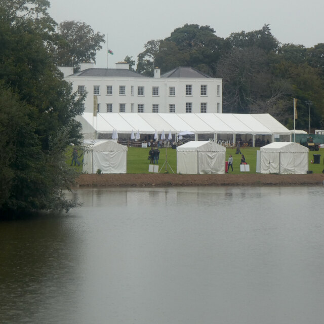
Faenol Festival
The Faenol Festival (Welsh: Gŵyl y Faenol) is a music festival organised by Welsh singer Bryn Terfel, originally held annually on the Faenol Estate (Welsh...
Bangor 1876 F.C.
Bangor 1876 Football Club (Welsh: Clwb Pêl-Droed Bangor 1876) is a Welsh football club in Bangor, Gwynedd, who play in the Cymru North, the second tier...
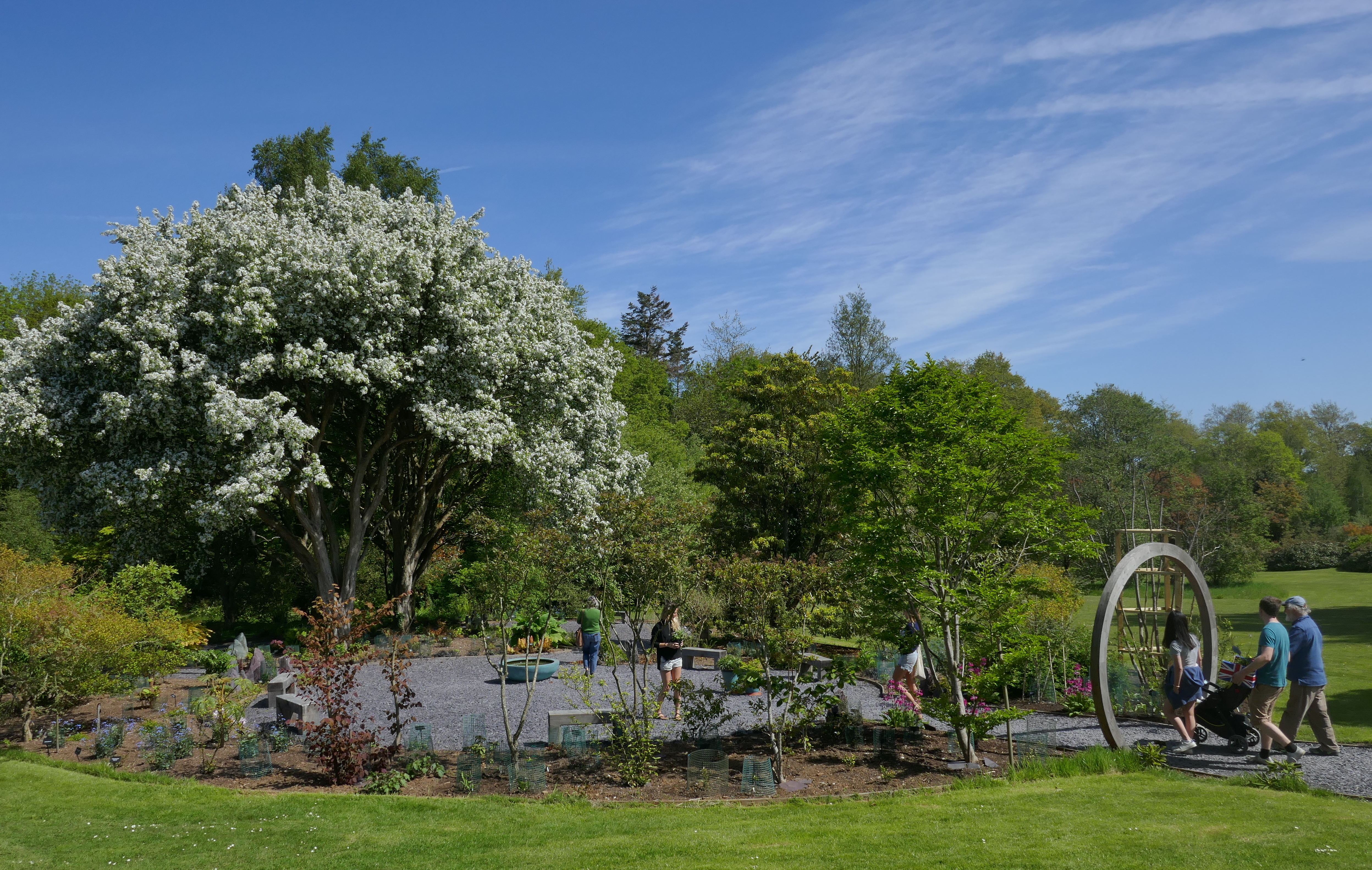
Treborth Botanic Garden
Treborth Botanic Garden (Welsh: Gardd Fotaneg Treborth), is a botanic garden in Wales, close to the city of Bangor, Gwynedd. It is owned by Bangor University...
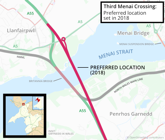
Third Menai Crossing
The Third Menai Crossing (or (A55) 3rd Menai Crossing) was a proposed bridge over the Menai Strait, connecting the Isle of Anglesey with mainland Wales...
Nearby Amenities
Located within 500m of 53.202148,-4.17476Have you been to Capel-y-graig?
Leave your review of Capel-y-graig below (or comments, questions and feedback).