Sealpond Wood
Wood, Forest in Caernarfonshire
Wales
Sealpond Wood
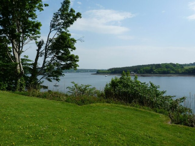
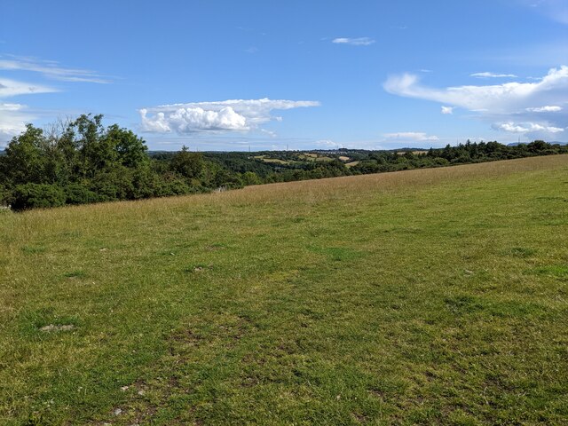
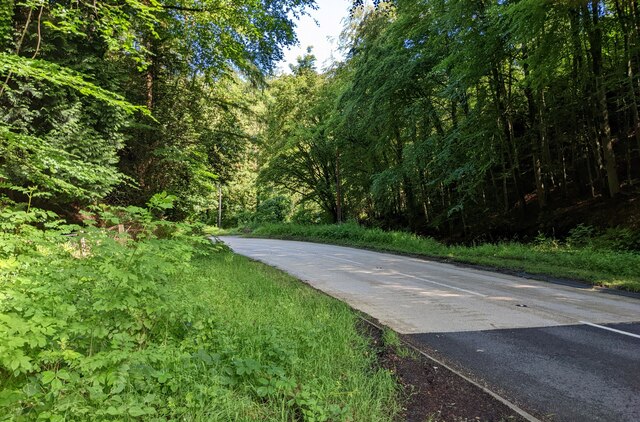
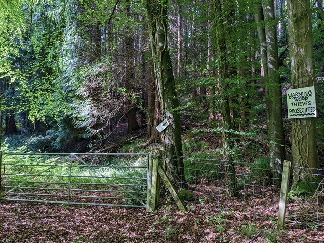
Sealpond Wood is a picturesque forest located in Caernarfonshire, Wales. Covering an area of approximately 100 acres, this enchanting woodland is a popular destination for nature lovers and outdoor enthusiasts. Its serene atmosphere and diverse range of flora and fauna make it an ideal spot for walking, birdwatching, and photography.
The woodland is characterized by a mix of deciduous and coniferous trees, including oak, birch, and spruce. These towering trees provide a dense canopy, creating a cool and shaded environment even on hot summer days. The forest floor is carpeted with a variety of wildflowers, ferns, and mosses, adding to its natural charm.
At the heart of Sealpond Wood lies a tranquil pond, which is home to an array of aquatic life, including ducks, geese, and dragonflies. This secluded water feature attracts a plethora of bird species, making it a paradise for birdwatchers. Visitors can enjoy the peaceful ambiance while taking in the sights and sounds of the surrounding wildlife.
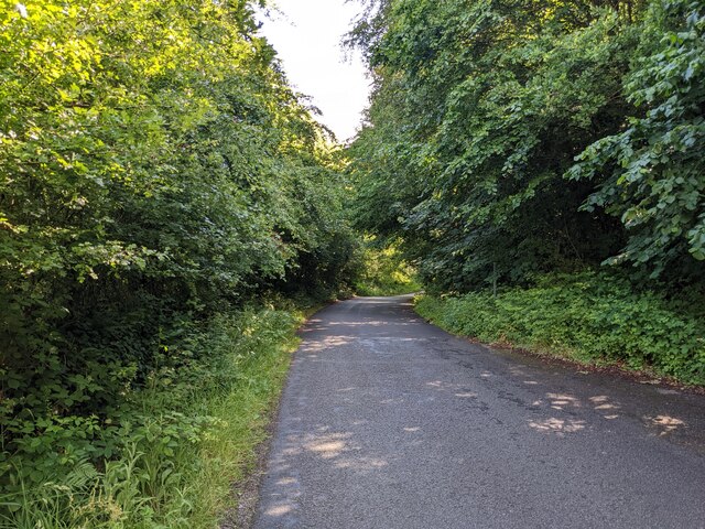
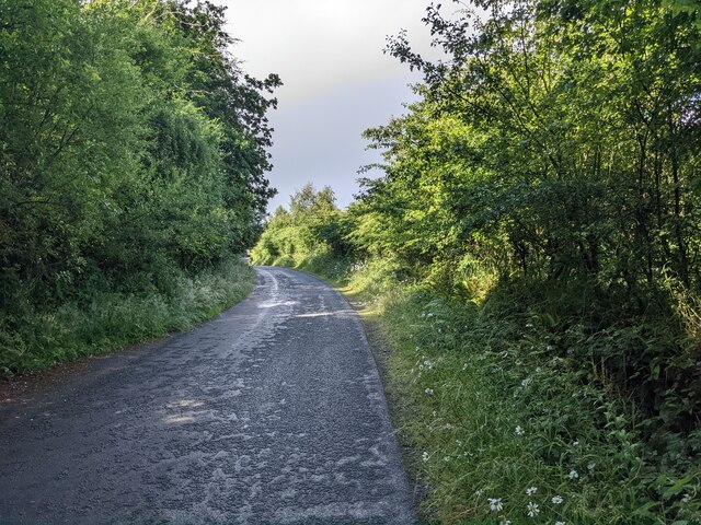
Well-maintained walking trails wind their way through the forest, providing visitors with the opportunity to explore its beauty at their own pace. The trails are suitable for all abilities, and benches are strategically placed along the paths, offering weary hikers a chance to rest and soak in the idyllic surroundings.
Sealpond Wood is easily accessible, with ample parking available nearby. Whether you are seeking a peaceful retreat, a chance to connect with nature, or simply a place to unwind, this enchanting woodland is sure to captivate your senses and leave a lasting impression.
If you have any feedback on the listing, please let us know in the comments section below.
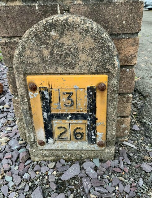
Sealpond Wood Images
Images are sourced within 2km of 53.204571/-4.184848 or Grid Reference SH5469. Thanks to Geograph Open Source API. All images are credited.


Sealpond Wood is located at Grid Ref: SH5469 (Lat: 53.204571, Lng: -4.184848)
Unitary Authority: Gwynedd
Police Authority: North Wales
What 3 Words
///ample.juggled.differ. Near Llanfairpwllgwyngyll, Isle of Anglesey
Nearby Locations
Related Wikis
Ysgol Glanaethwy
Ysgol Glanaethwy is a drama school in Bangor, Gwynedd, Wales. It is known in particular for its choir, Côr Glanaethwy. == History == Ysgol Glanaethwy was...

Vaynol
Vaynol or Y Faenol (Welsh [ə ˈveɨnɔl]) is a country estate dating from the Tudor period near Y Felinheli in Gwynedd, North Wales (grid reference SH536695...

Treborth railway station
Treborth railway station was a railway station located on the Bangor and Carnarvon Railway, about half a mile south of the Britannia Bridge, Caernarfonshire...

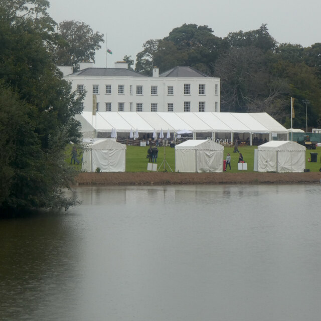
Faenol Festival
The Faenol Festival (Welsh: Gŵyl y Faenol) is a music festival organised by Welsh singer Bryn Terfel, originally held annually on the Faenol Estate (Welsh...
Pwll Fanog wreck
The Pwll Fanog wreck is a small Medieval-era wooden vessel that sank in the Menai Strait, off the coast of Anglesey in Wales. The cargo vessel, believed...
Bangor 1876 F.C.
Bangor 1876 Football Club (Welsh: Clwb Pêl-Droed Bangor 1876) is a Welsh football club in Bangor, Gwynedd, who play in the Cymru North, the second tier...

Britannia Bridge
Britannia Bridge (Welsh: Pont Britannia) is a bridge in Wales that crosses the Menai Strait between the Isle of Anglesey and city of Bangor. It was originally...
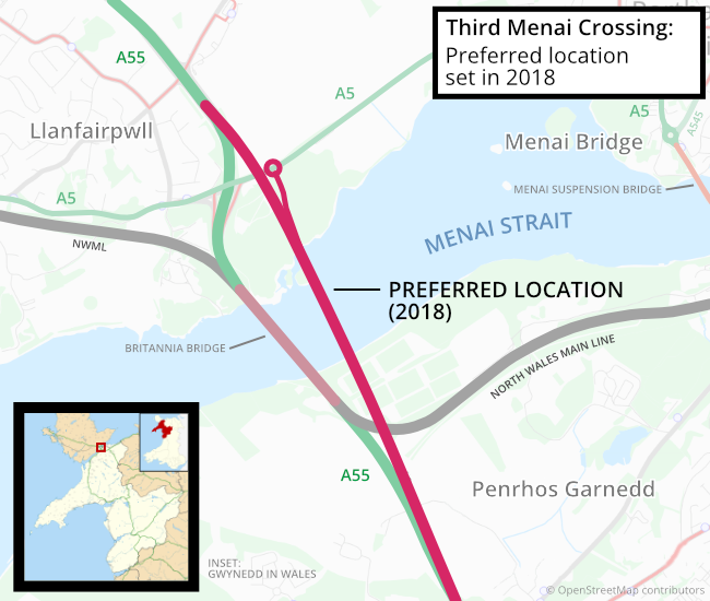
Third Menai Crossing
The Third Menai Crossing (or (A55) 3rd Menai Crossing) was a proposed bridge over the Menai Strait, connecting the Isle of Anglesey with mainland Wales...
Nearby Amenities
Located within 500m of 53.204571,-4.184848Have you been to Sealpond Wood?
Leave your review of Sealpond Wood below (or comments, questions and feedback).