Capenhurst

Settlement in Cheshire

England

Capenhurst

The Yacht Inn, Parkgate Road, near Capenhurst
The Yacht Inn, Parkgate Road, near Capenhurst Credit: David Smith

Capenhurst is a small village located in the county of Cheshire, England. Situated approximately 7 miles east of the historic city of Chester, Capenhurst has a population of around 1,000 residents. The village is nestled in a rural area, surrounded by farmland and green fields.

Capenhurst is best known for being the home of the Capenhurst Nuclear Services facility, which is operated by Urenco UK Ltd. The facility is responsible for the enrichment of uranium for nuclear power plants. The plant has been in operation since the 1970s and is a significant employer in the area.

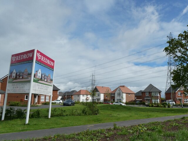
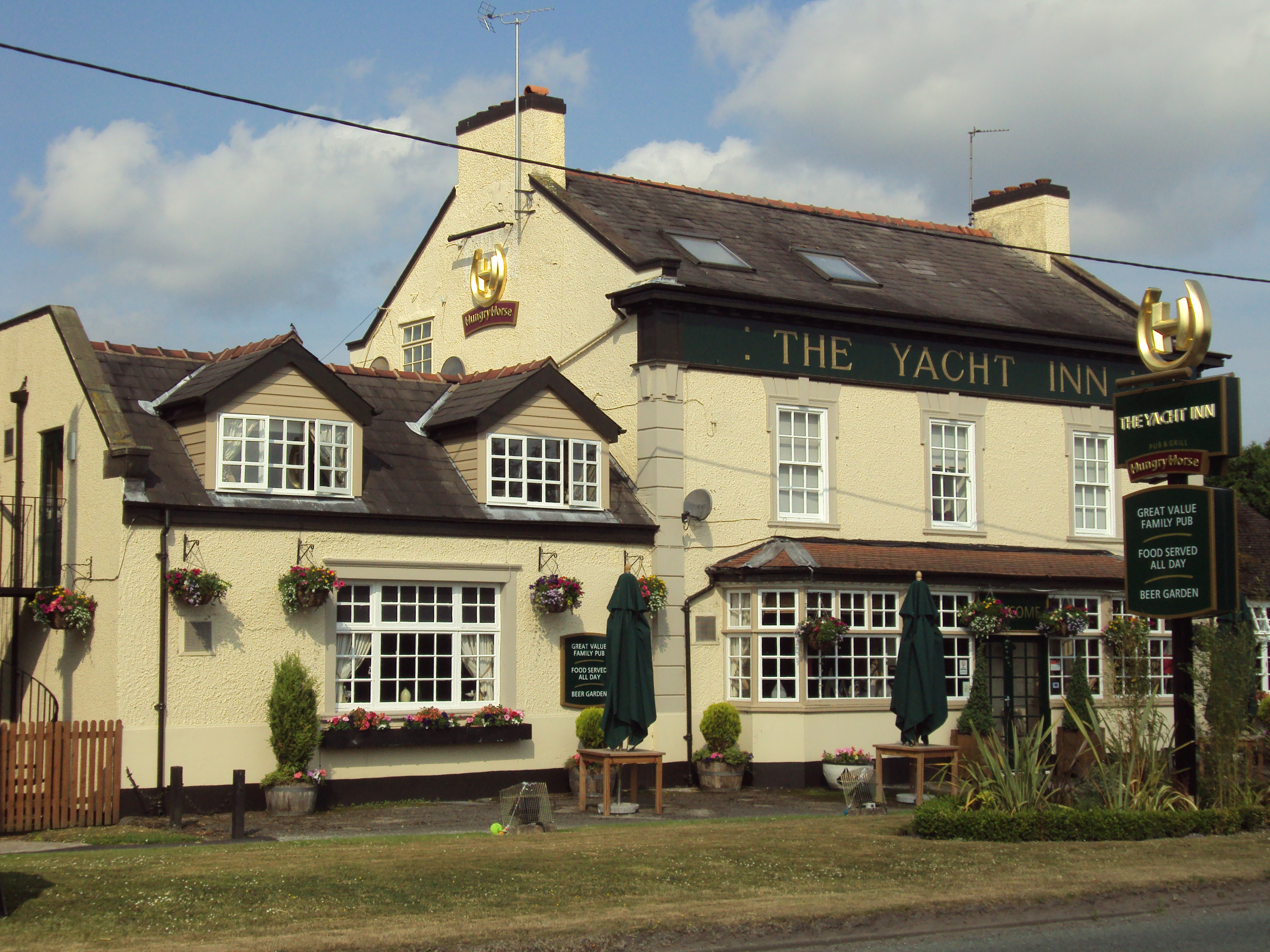
The village itself is peaceful and picturesque, with a mix of old and modern architecture. It has a small primary school, which serves the local community, and a church, All Saints Church, which dates back to the 13th century. There are also a few local shops and amenities, including a post office and a pub.

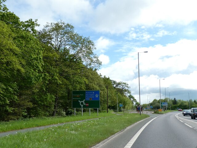
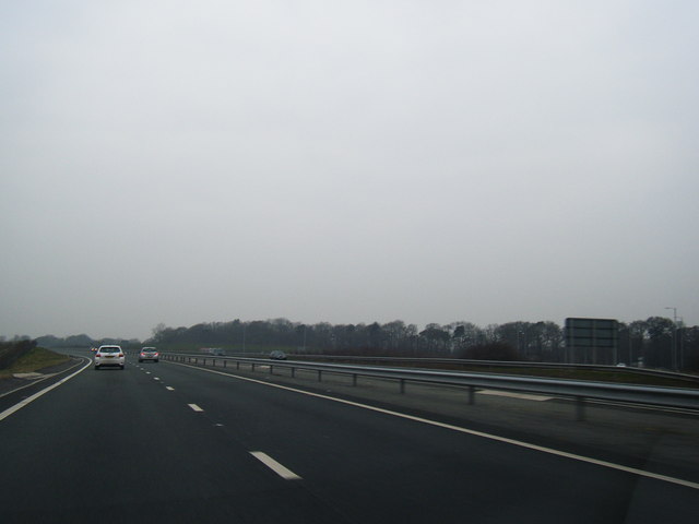
Capenhurst is well-connected by road and rail. The A540 road runs through the village, providing easy access to nearby towns such as Chester and Ellesmere Port. The Capenhurst railway station, located on the Chester to Ellesmere Port line, offers regular train services to both destinations.

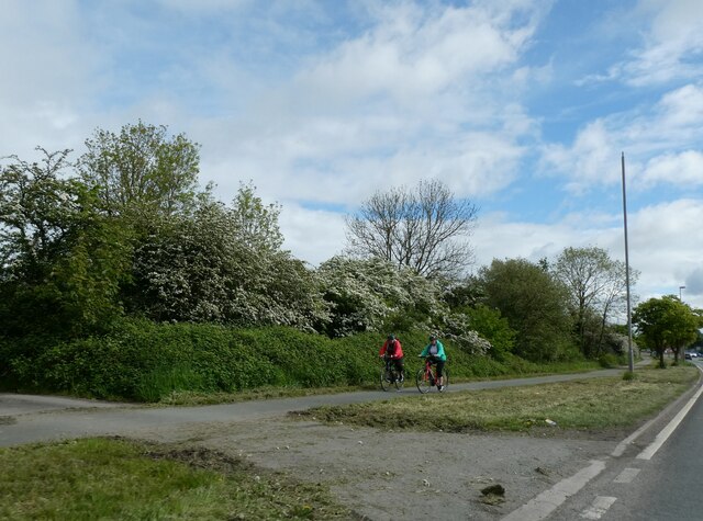
For those who enjoy the outdoors, Capenhurst is surrounded by beautiful countryside, offering opportunities for walking, cycling, and exploring the nearby nature reserves. The village provides a tranquil escape from the hustle and bustle of city life, while still being conveniently located near larger towns and cities.

If you have any feedback on the listing, please let us know in the comments section below.

Capenhurst Images

Images are sourced within 2km of 53.257569/-2.952807 or Grid Reference SJ3673. Thanks to Geograph Open Source API. All images are credited.

The Yacht Inn, Parkgate Road, near Capenhurst
Car dealers, Parkgate Road
Carpet showrooms, Parkgate Road
A5117 south-east of Dunkirk On the 1930s map it is named a Powey Lane.  The small woodland was also marked on that map
A5117 south-east of Dunkirk
On the 1930s map it is named a Powey Lane. The small woodland was also marked on that map
Cycle track by A5117 south-east of Dunkirk
Railway bridge parapet by A5117 near Dunkirk A footpath sign points to a path beside the railway line
Railway bridge parapet by A5117 near Dunkirk
A footpath sign points to a path beside the railway line
Housing estate, Dunkirk, by A5117 under the power lines
Welsh Road
Welsh Road
Two Mills junction of A550 and A540
Welsh Road, south of Two Mills
Shotwick Lane Disused building falling apart alongside Shotwick Lane, near Woodbank Hall.
Shotwick Lane
Disused building falling apart alongside Shotwick Lane, near Woodbank Hall.
Shotwick Lane Dilapidated building alongside Shotwick Lane leading to the A540, Woodbank.
Shotwick Lane
Dilapidated building alongside Shotwick Lane leading to the A540, Woodbank.
Shotwick Dale The leading edge of Shotwick Dale, alongside Shotwick Lane leading to the Welsh Road.
Shotwick Dale
The leading edge of Shotwick Dale, alongside Shotwick Lane leading to the Welsh Road.
Shotwick Lane Shotwick Lane near Woodbank Hall, leading to the A550 Welsh Road.
Shotwick Lane
Shotwick Lane near Woodbank Hall, leading to the A550 Welsh Road.
A494 passes under the A540
M56 westbound approaches its end
Urenco Offices, Capenhurst
Offices in Capenhurst Technology Park
Show me another place!

Capenhurst is located at Grid Ref: SJ3673 (Lat: 53.257569, Lng: -2.952807)

Unitary Authority: Cheshire West and Chester

Police Authority: Cheshire

What 3 Words

///crust.lively.sculpture. Near Ledsham, Cheshire

Nearby Locations

Capenhurst Capenhurst

Related Wikis

Capenhurst

Capenhurst is a village and civil parish in Chester in the unitary authority of Cheshire West and Chester and the ceremonial county of Cheshire England...

Holy Trinity Church, Capenhurst

Holy Trinity Church, Capenhurst is in the village of Capenhurst, Cheshire, England. The church is recorded in the National Heritage List for England as...

Capenhurst railway station

Capenhurst railway station serves the village of Capenhurst and its substantial industrial facilities, in Cheshire, England. It also serves outer suburbs...

Ledsham, Cheshire

Ledsham is a village and civil parish in the unitary authority of Cheshire West and Chester and the ceremonial county of Cheshire, England. The civil parish...

Woodbank, Cheshire

Woodbank is a village and former civil parish, now in the parish of Puddington, in the unitary authority of Cheshire West and Chester and the ceremonial...

Strawberry Park, Cheshire

Strawberry Park and Strawberry Fields are suburbs in the town of Ellesmere Port, Cheshire West and Chester. They are located to the south of Hope Farm...

Backford Cross

Backford Cross is a suburban locality of Ellesmere Port, within the unitary authority of Cheshire West and Chester, Cheshire, England. It is located at...

Ellesmere Port and Neston

Ellesmere Port and Neston was, from 1974 to 2009, a local government district with borough status in Cheshire, England. It covered the southern part of...

Nearby Amenities

Located within 500m of 53.257569,-2.952807
Capenhurst
Is In: Chester, Cheshire, England, UK
Place: village
Lat/Long: 53.2566284/-2.9511736
Bus Stop
Capenhurst, Capenhurst Lane / Manor Farm Crescent
Bus: yes
Naptan AtcoCode: 0610CH533
Naptan Bearing: NE
Naptan BusStopType: CUS
Naptan CommonName: Manor Farm Crescent
Naptan Crossing: Manor Farm Crescent
Naptan Indicator: cnr
Naptan Landmark: Manor Farm Crescent
Naptan LocalityName: Capenhurst
Naptan NaptanCode: chwpwpg
Naptan ShortCommonName: Manor Farm Crescent
Naptan Street: Capenhurst Lane
Naptan Verified: no
Public Transport: platform
Source: naptan_import
Lat/Long: 53.2573543/-2.9517334
GCHQ Covert Surveillance Tower
Demolished Man Made: tower
Note: Now demolished
Tower Type: communication
Url: http://www.lamont.me.uk/capenhurst/original.html
Lat/Long: 53.2606605/-2.954806
Generator Method: photovoltaic
Generator Output Electricity: yes
Generator Source: solar
Generator Type: solar_photovoltaic_panel
Location: roof
Power: generator
Lat/Long: 53.2565104/-2.9516985
Generator Method: photovoltaic
Generator Output Electricity: yes
Generator Source: solar
Generator Type: solar_photovoltaic_panel
Location: roof
Power: generator
Lat/Long: 53.2559249/-2.9541849
Generator Method: photovoltaic
Generator Output Electricity: yes
Generator Source: solar
Generator Type: solar_photovoltaic_panel
Location: roof
Power: generator
Lat/Long: 53.2560645/-2.9534178
Post Box
Collection Times: Mo-Fr 16:30; Sa 08:30
Description: EIIR lamp box pier CH1 312 by Machan, Scotland on Rectory Close, Capenhurst. Listed by RM as Penfold Close, but has been moved across Capenhurst Lane to here.
Manufacturer: Machan
Operator: Royal Mail
Operator Wikidata: Q638098
Post Box Type: lamp
Ref: CH1 312
Royal Cypher: EIIR
Royal Cypher Wikidata: Q33102113
Wikimedia Commons: File:Post box on Rectory Lane, Capenhurst.jpg
Lat/Long: 53.2574065/-2.9524477
Defibrillator
Access: yes
Booth: KX100
Covered: booth
Defibrillator Location: inside old phone box next to Capenhurst Primary School
Disused Amenity: telephone
Emergency: defibrillator
Indoor: no
Man Made: telephone_box
Lat/Long: 53.2575211/-2.9502618
Bench
Lat/Long: 53.257489/-2.9512917
The data included in this document is from www.openstreetmap.org. The data is made available under ODbL.

Have you been to Capenhurst?

Leave your review of Capenhurst below (or comments, questions and feedback).