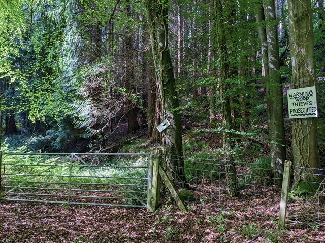
Middle Covert
Wood, Forest in Caernarfonshire
Wales
Middle Covert
The requested URL returned error: 429 Too Many Requests
If you have any feedback on the listing, please let us know in the comments section below.
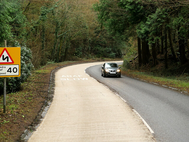
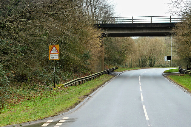
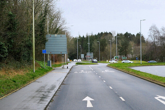
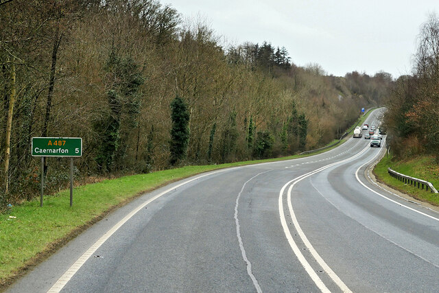
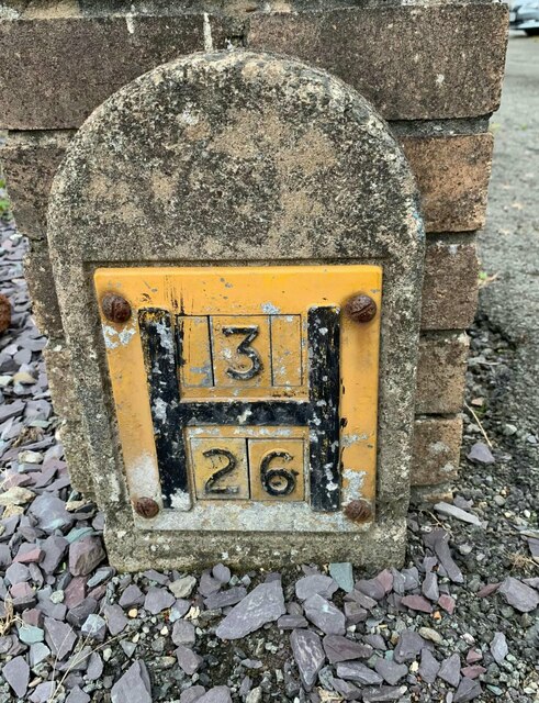
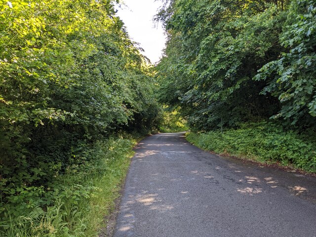
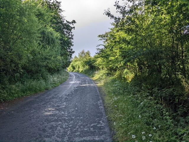
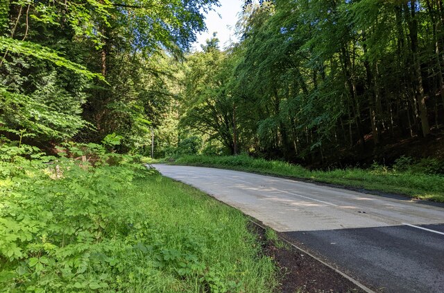
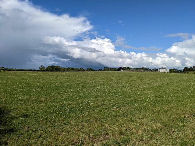
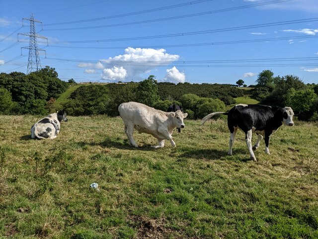
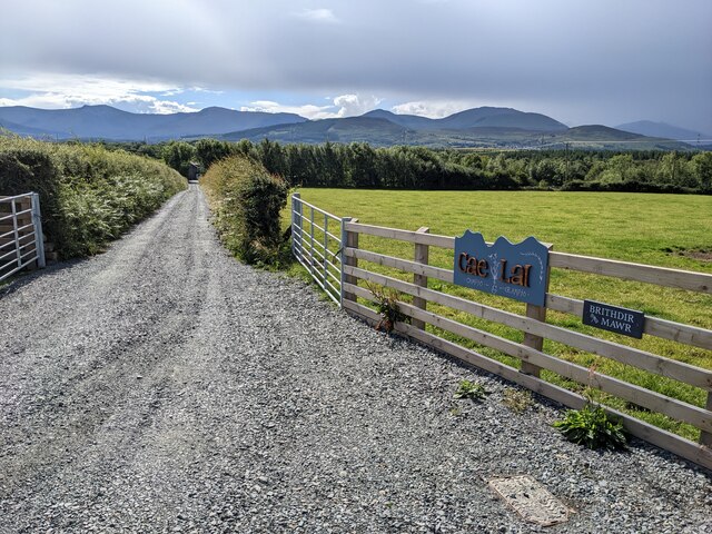
Middle Covert Images
Images are sourced within 2km of 53.205385/-4.1791841 or Grid Reference SH5469. Thanks to Geograph Open Source API. All images are credited.


Middle Covert is located at Grid Ref: SH5469 (Lat: 53.205385, Lng: -4.1791841)
Unitary Authority: Gwynedd
Police Authority: North Wales
What 3 Words
///diverged.registers.career. Near Llanfairpwllgwyngyll, Isle of Anglesey
Related Wikis
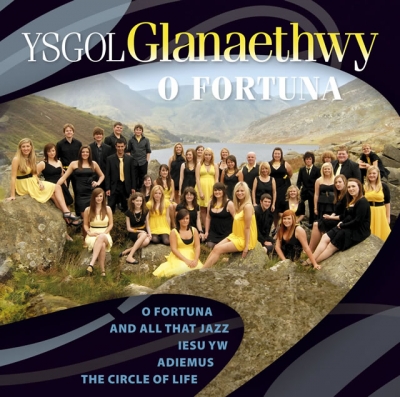
Ysgol Glanaethwy
Ysgol Glanaethwy is a drama school in Bangor, Gwynedd, Wales. It is known in particular for its choir, Côr Glanaethwy. == History == Ysgol Glanaethwy was...

Treborth railway station
Treborth railway station was a railway station located on the Bangor and Carnarvon Railway, about half a mile south of the Britannia Bridge, Caernarfonshire...

Vaynol
Vaynol or Y Faenol (Welsh [ə ˈveɨnɔl]) is a country estate dating from the Tudor period near Y Felinheli in Gwynedd, North Wales (grid reference SH536695...
Bangor 1876 F.C.
Bangor 1876 Football Club (Welsh: Clwb Pêl-Droed Bangor 1876) is a Welsh football club in Bangor, Gwynedd, who play in the Cymru North, the second tier...
Nearby Amenities
Located within 500m of 53.205385,-4.1791841Have you been to Middle Covert?
Leave your review of Middle Covert below (or comments, questions and feedback).