Coed Tan-dinas
Wood, Forest in Caernarfonshire
Wales
Coed Tan-dinas
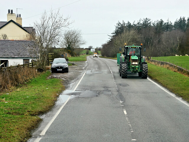
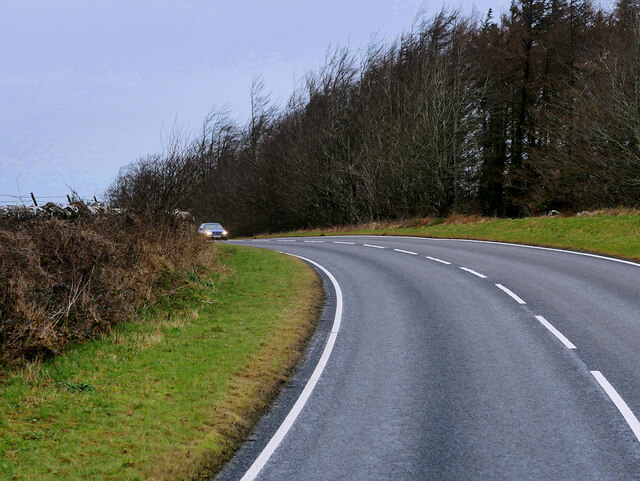
Coed Tan-dinas is a picturesque woodland located in the county of Caernarfonshire, Wales. Spread over a vast area, the forest is nestled among rolling hills and offers a serene and tranquil environment for visitors to enjoy. The name "Tan-dinas" originates from Welsh, meaning "under the fortress," which refers to the ancient hillfort located nearby.
The woodland is home to a diverse range of flora and fauna, making it a haven for nature enthusiasts. The forest boasts a rich variety of trees, including oak, beech, and birch, which create a beautiful and vibrant canopy. Throughout the year, the forest floor is adorned with a colorful carpet of wildflowers, adding to the enchanting atmosphere.
Coed Tan-dinas is a popular destination for outdoor activities such as walking, hiking, and birdwatching. There are well-maintained trails that wind through the forest, allowing visitors to explore the area at their own pace. The forest is also home to a variety of bird species, including woodpeckers, owls, and songbirds, making it a paradise for birdwatchers.
In addition to its natural beauty, the woodland has historical significance. The hillfort of Tan-dinas, which dates back to the Iron Age, overlooks the forest and provides a glimpse into the area's ancient past. The fort's ruins serve as a reminder of the rich history and heritage of the region.
Coed Tan-dinas is an idyllic destination for those seeking a peaceful retreat in the heart of nature. With its stunning landscapes, diverse wildlife, and historical significance, it truly offers a captivating experience for visitors of all ages.
If you have any feedback on the listing, please let us know in the comments section below.
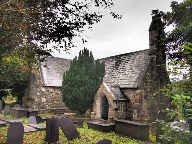
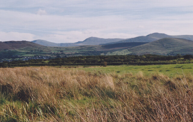
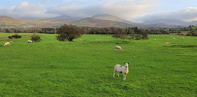
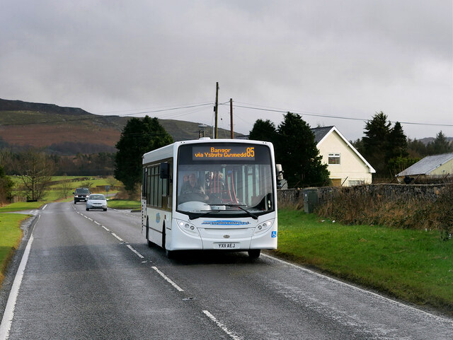
Coed Tan-dinas Images
Images are sourced within 2km of 53.16795/-4.1776003 or Grid Reference SH5465. Thanks to Geograph Open Source API. All images are credited.


Coed Tan-dinas is located at Grid Ref: SH5465 (Lat: 53.16795, Lng: -4.1776003)
Unitary Authority: Gwynedd
Police Authority: North Wales
What 3 Words
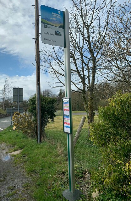
///spite.shifters.motivations. Near Llanrug, Gwynedd
Nearby Locations
Related Wikis

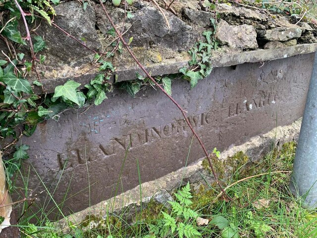
Llanddeiniolen
Llanddeiniolen (Welsh: [ɬanðɛinɪˈɔlɛn]; ) is the name of a community area, in the county of Gwynedd, Wales, and is 124 miles (200 km) from Cardiff and...

GreenWood
GreenWood (Welsh: Gelli Gyffwrdd), formerly GreenWood Forest Park and The GreenWood Centre, is a family fun park at Y Felinheli in Gwynedd, Wales. The...

Penisa'r Waun
Penisa'r-waun is a small village which is located 4 miles to the east of Caernarfon and a mile to the northeast of Llanrug on the A4547 in Gwynedd, north...

Pontrhythallt railway station
Pontrhythallt was a railway station in the village of Pont Rhythallt, Gwynedd, Wales. This station opened in 1869 and closed for regular passenger services...
Related Videos

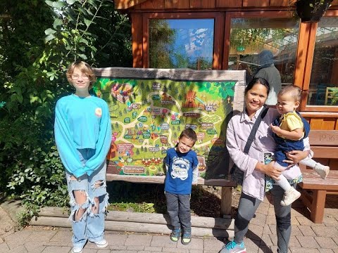
Episode 88 - Greenwood Family Park | Dad and Lad on Tour | Travel adventures around the UK
Follow our journey by subscribing as we travel the UK Dad and Lad. Where will we go? Where are the best places to visit in the ...
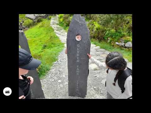
Devil's Kitchen Walk - Group 1
Our walk around Llyn Idwal. Today we had lunch at the lake, walked up towards the Devils Kitchen, scrambled over a waterfall, ...
GreenWood Family Park, Y Felinheli, Wales, UK
A fantastic little park in a stunning setting. It also has a very unique human powered Rollercoaster.

Snowdonia National Park , driving in snowdonia
BEAUTIFUL WALES - Snowdonia National Park SIT PASSENGER AND ENJOY THE BEAUTIFUL SCENARY OF NORTH WALES ...
Nearby Amenities
Located within 500m of 53.16795,-4.1776003Have you been to Coed Tan-dinas?
Leave your review of Coed Tan-dinas below (or comments, questions and feedback).