Heatherhouse Plantation
Wood, Forest in Renfrewshire
Scotland
Heatherhouse Plantation
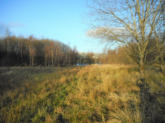
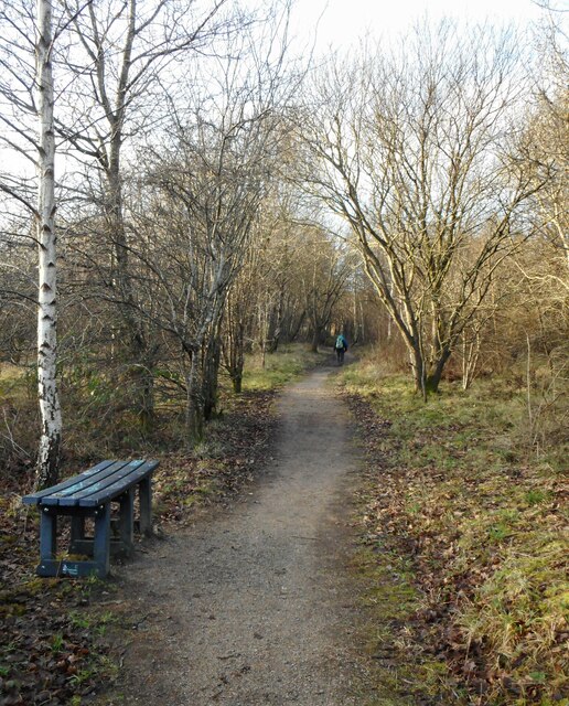
Heatherhouse Plantation is a sprawling woodland located in Renfrewshire, Scotland. Spread over a vast area, it is known for its diverse and picturesque landscape. The plantation is primarily made up of different species of trees, including oak, birch, and pine, which create a unique and vibrant ecosystem.
One of the dominant features of Heatherhouse Plantation is the heather, which covers large sections of the forest floor, giving it its name. The heather provides a stunning purple hue during the flowering season, attracting nature enthusiasts and photographers from far and wide.
The plantation is a haven for wildlife, with various species of birds, mammals, and insects calling it their home. It is not uncommon to spot red squirrels, deer, and a myriad of bird species, such as woodpeckers and owls, while exploring the woodland.
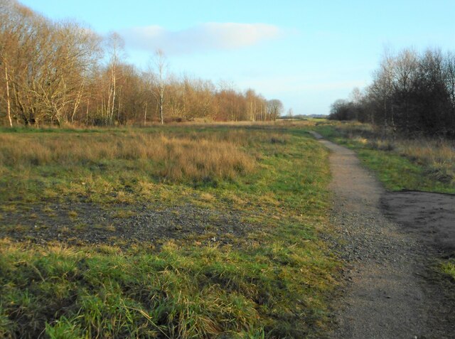
Visitors can enjoy a multitude of activities within the plantation. There are several well-maintained walking trails that crisscross the woodland, allowing visitors to immerse themselves in the serene surroundings. These trails offer breathtaking views of the rolling hills and distant mountains, making it a popular spot for hikers and nature lovers.
In addition to its natural beauty, Heatherhouse Plantation also has historical significance. The remnants of an ancient castle can be found within its boundaries, adding an element of intrigue and mystery to the site.
Overall, Heatherhouse Plantation is a stunning woodland that offers a tranquil escape from the hustle and bustle of everyday life. With its rich biodiversity, enchanting trails, and captivating history, it is a must-visit destination for those seeking a connection with nature and a glimpse into Scotland's past.
If you have any feedback on the listing, please let us know in the comments section below.
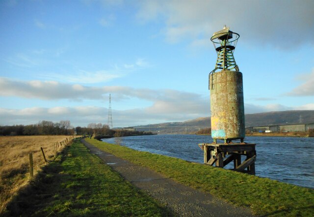
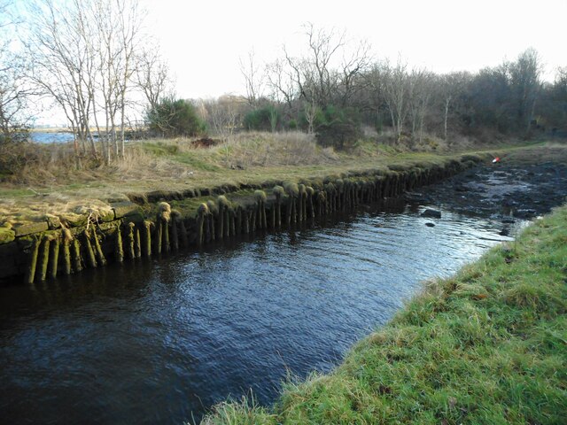
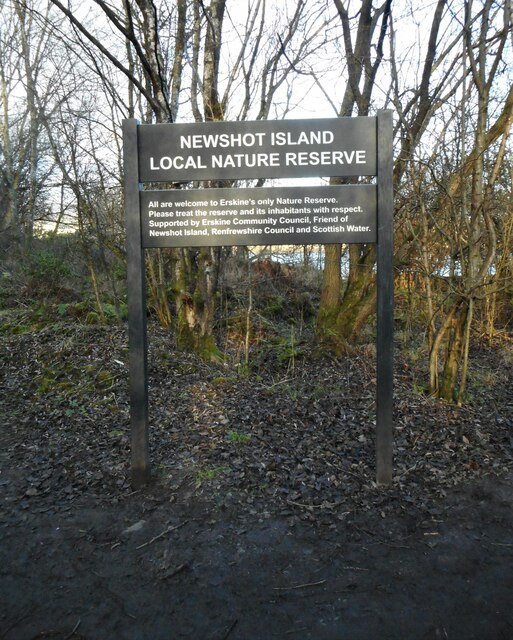
Heatherhouse Plantation Images
Images are sourced within 2km of 55.895782/-4.4603512 or Grid Reference NS4669. Thanks to Geograph Open Source API. All images are credited.
Heatherhouse Plantation is located at Grid Ref: NS4669 (Lat: 55.895782, Lng: -4.4603512)
Unitary Authority: Renfrewshire
Police Authority: Renfrewshire and Inverclyde
What 3 Words
///camped.vipers.grove. Near Erskine, Renfrewshire
Related Wikis

Lamont Farm
Lamont Farm Project is based in Erskine, Renfrewshire. It is a city farm which is open to the public. == History == Lamont Farm Project was founded in...

Park Mains High School
Park Mains High School is a secondary school in Erskine, Renfrewshire. It is one of the biggest schools in Scotland. As well as taking in students from...

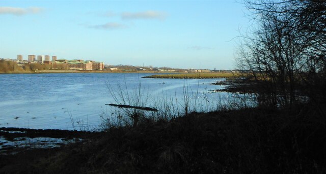
Erskine
Erskine (, Scots: Erskin, Scottish Gaelic: Arasgain) is a town in the council area of Renfrewshire, and historic county of the same name, situated in the...

Inchinnan
Inchinnan (; Scottish Gaelic: Innis Fhionghain) is a small village in Renfrewshire, Scotland. The village is located on the main A8 road between Renfrew...
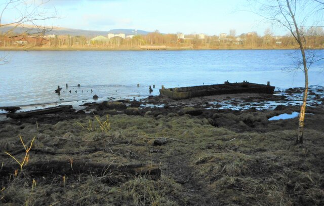
Park Quay
The disused Park Quay or Fulton's Quay (NS 47436 70692) is located on the old Lands of Park, situated on the south bank of the River Clyde in the Parish...

India of Inchinnan
India of Inchinnan is now a commercial site in Inchinnan, Renfrewshire, Scotland, that was formerly used for various industrial uses. It includes the...
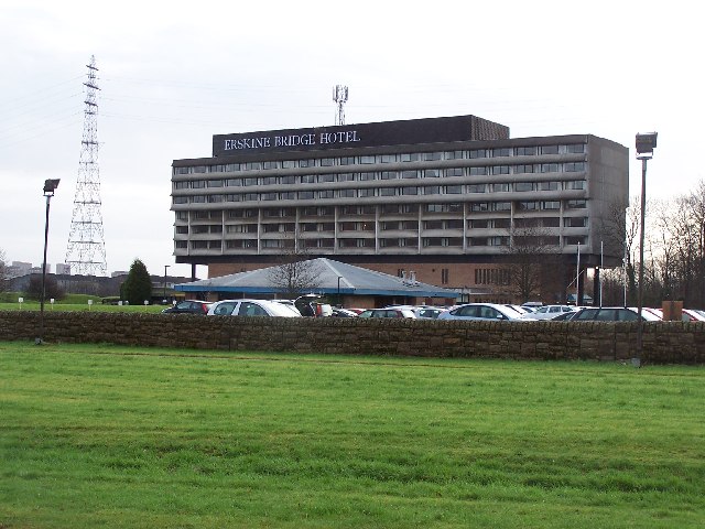
Erskine Bridge Hotel & Spa
The MGM Muthu Glasgow River Hotel, formerly the Erskine Bridge Hotel & Spa is situated on the banks of the River Clyde in Erskine, Renfrewshire. The hotel...

Inchinnan Castle
Inchinnan Castle was a 16th-century castle, about 1 mile (1.6 km) south and east of Erskine, Renfrewshire, Scotland, and about 0.5 miles (0.80 km) north...
Nearby Amenities
Located within 500m of 55.895782,-4.4603512Have you been to Heatherhouse Plantation?
Leave your review of Heatherhouse Plantation below (or comments, questions and feedback).