Rashielee Plantation
Wood, Forest in Renfrewshire
Scotland
Rashielee Plantation
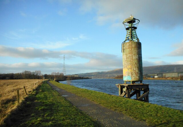
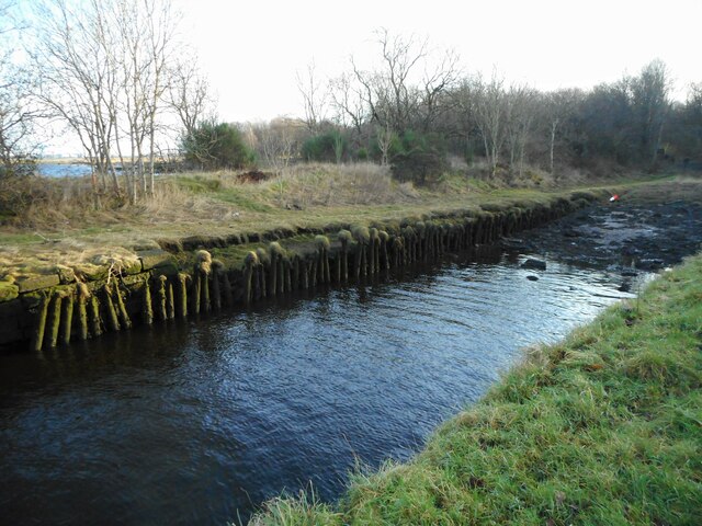
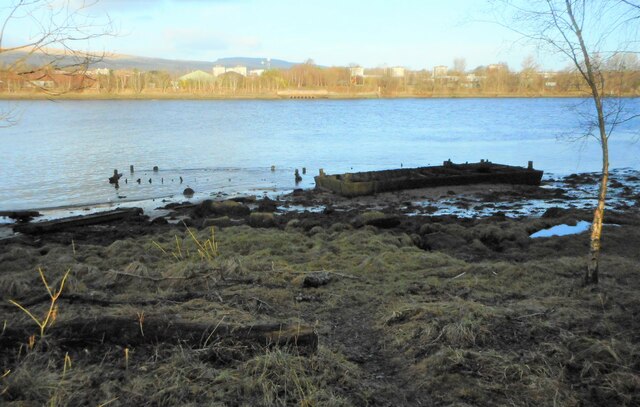
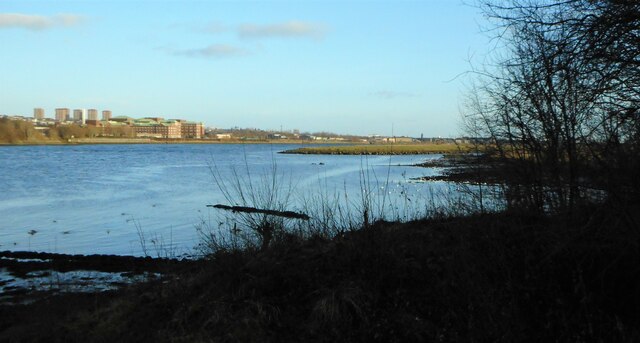
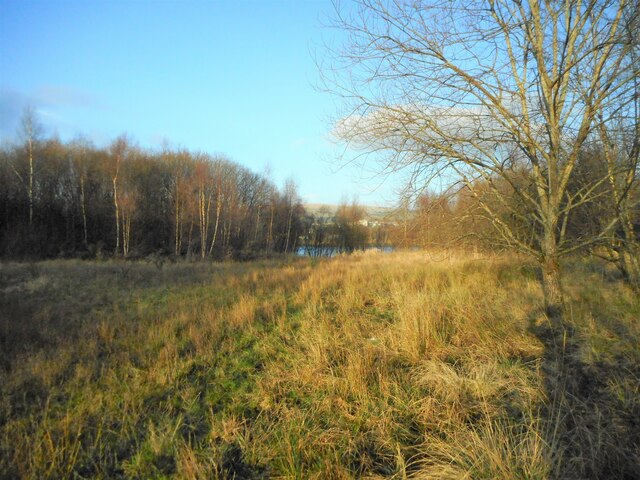
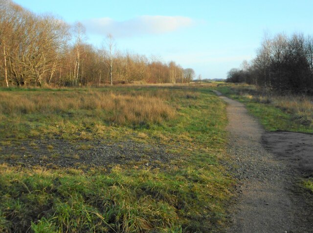
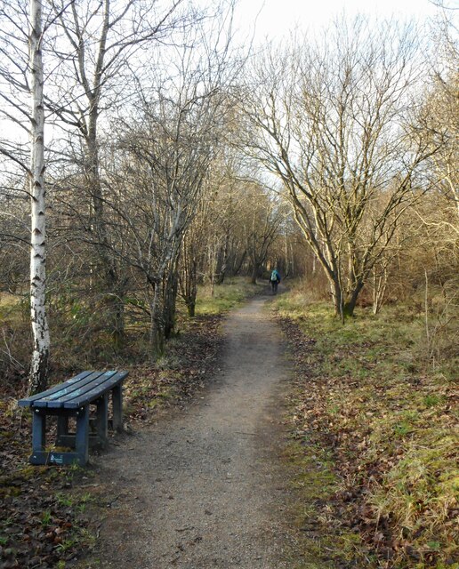
Rashielee Plantation is a picturesque woodland located in Renfrewshire, Scotland. Spanning approximately 100 acres, it is nestled amidst the rolling hills and stunning landscapes of the region. The plantation is characterized by its dense, mature trees, predominantly consisting of oak, beech, and birch varieties. These towering giants create a serene and tranquil atmosphere, providing a haven for both flora and fauna.
As visitors enter Rashielee Plantation, they are greeted by a well-maintained trail system that winds through the woods. This network of paths offers an opportunity for leisurely strolls, hikes, and even cycling. The terrain is undulating, with occasional steep sections, ensuring a varied and exciting experience for outdoor enthusiasts.
Wildlife thrives within the plantation, with a diverse range of species calling it home. Birds such as woodpeckers, owls, and various songbirds can be spotted among the branches, while small mammals including red squirrels, rabbits, and hedgehogs scuttle about on the forest floor. Keen observers may even catch a glimpse of larger mammals like deer and foxes, which occasionally visit the area.
Rashielee Plantation is also known for its vibrant flora. During spring, the forest floor is carpeted with bluebells, creating a breathtaking sight. Various wildflowers, ferns, and mosses add to the tapestry of colors, making it a paradise for nature enthusiasts and photographers alike.
Overall, Rashielee Plantation offers a tranquil escape from the hustle and bustle of daily life. Its diverse range of flora and fauna, paired with its scenic trails, make it a must-visit destination for those seeking solace in nature.
If you have any feedback on the listing, please let us know in the comments section below.
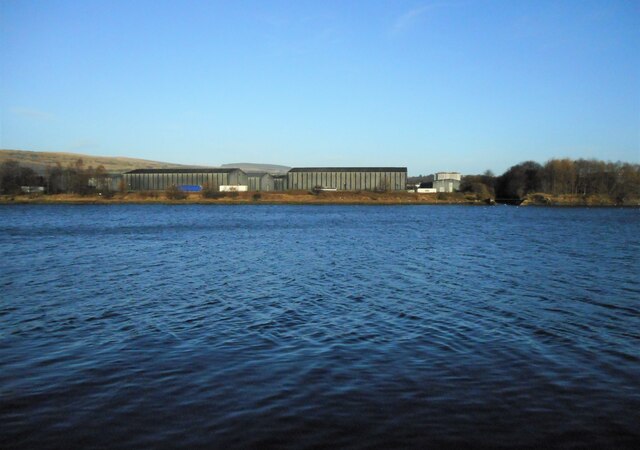
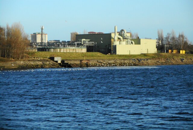
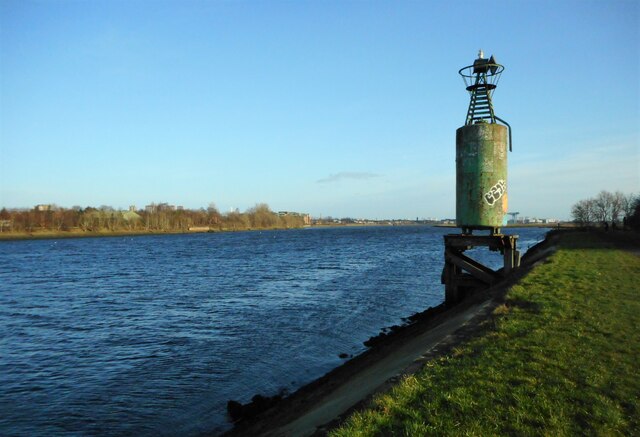
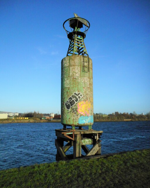
Rashielee Plantation Images
Images are sourced within 2km of 55.8973/-4.4577279 or Grid Reference NS4669. Thanks to Geograph Open Source API. All images are credited.
Rashielee Plantation is located at Grid Ref: NS4669 (Lat: 55.8973, Lng: -4.4577279)
Unitary Authority: Renfrewshire
Police Authority: Renfrewshire and Inverclyde
What 3 Words
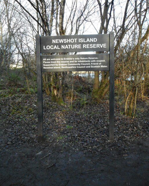
///corn.marker.ahead. Near Erskine, Renfrewshire
Related Wikis

Lamont Farm
Lamont Farm Project is based in Erskine, Renfrewshire. It is a city farm which is open to the public. == History == Lamont Farm Project was founded in...

Park Mains High School
Park Mains High School is a secondary school in Erskine, Renfrewshire. It is one of the biggest schools in Scotland. As well as taking in students from...

Erskine
Erskine (, Scots: Erskin, Scottish Gaelic: Arasgain) is a town in the council area of Renfrewshire, and historic county of the same name, situated in the...
Park Quay
The disused Park Quay or Fulton's Quay (NS 47436 70692) is located on the old Lands of Park, situated on the south bank of the River Clyde in the Parish...

Inchinnan
Inchinnan (; Scottish Gaelic: Innis Fhionghain) is a small village in Renfrewshire, Scotland. The village is located on the main A8 road between Renfrew...
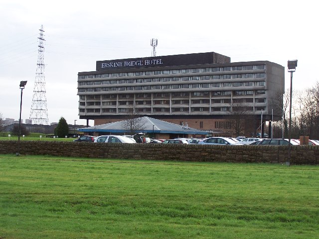
Erskine Bridge Hotel & Spa
The MGM Muthu Glasgow River Hotel, formerly the Erskine Bridge Hotel & Spa is situated on the banks of the River Clyde in Erskine, Renfrewshire. The hotel...

India of Inchinnan
India of Inchinnan is now a commercial site in Inchinnan, Renfrewshire, Scotland, that was formerly used for various industrial uses. It includes the...

Inchinnan Castle
Inchinnan Castle was a 16th-century castle, about 1 mile (1.6 km) south and east of Erskine, Renfrewshire, Scotland, and about 0.5 miles (0.80 km) north...
Nearby Amenities
Located within 500m of 55.8973,-4.4577279Have you been to Rashielee Plantation?
Leave your review of Rashielee Plantation below (or comments, questions and feedback).