Wheelburn Plantation
Wood, Forest in Renfrewshire
Scotland
Wheelburn Plantation
Wheelburn Plantation is a woodland area located in Renfrewshire, Scotland. Covering approximately 300 acres, it is situated near the village of Howwood, about 12 miles southwest of Glasgow. The plantation is part of the larger Clyde Muirshiel Regional Park, known for its scenic landscapes and diverse wildlife.
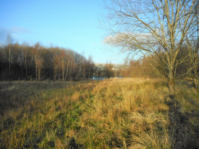
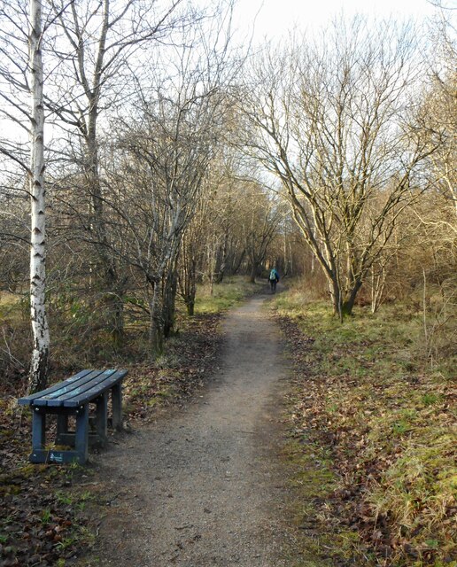
The woodland of Wheelburn Plantation primarily consists of mixed broadleaf trees, including oak, birch, and beech, providing a rich habitat for a variety of plant and animal species. The leafy canopy creates a tranquil and shady environment, making it a popular destination for nature enthusiasts and walkers.
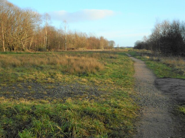
There are several well-maintained walking trails that wind through the plantation, offering visitors the opportunity to explore its natural beauty. These paths are suitable for all ages and fitness levels, with options for shorter strolls or longer hikes. Along the way, visitors may encounter a range of wildlife, including red squirrels, roe deer, and various bird species.
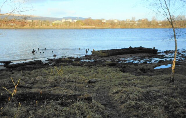
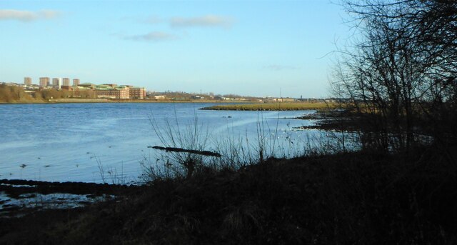
Wheelburn Plantation also features a small pond, adding to the diversity of the landscape. This water source attracts different species of waterfowl, such as ducks and moorhens, enhancing the overall biodiversity of the area.
The plantation is easily accessible, with a car park available for visitors. It is open year-round, and the changing seasons bring their own unique charm to the woodland, from vibrant autumn foliage to the blossoming of wildflowers in spring.
Overall, Wheelburn Plantation serves as a peaceful retreat for those seeking a connection with nature and a chance to appreciate the beauty of Scotland's woodlands.
If you have any feedback on the listing, please let us know in the comments section below.
Wheelburn Plantation Images
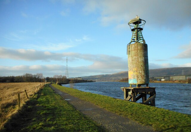
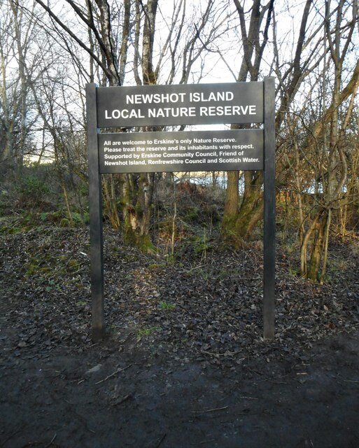
Images are sourced within 2km of 55.897838/-4.4609453 or Grid Reference NS4669. Thanks to Geograph Open Source API. All images are credited.
Wheelburn Plantation is located at Grid Ref: NS4669 (Lat: 55.897838, Lng: -4.4609453)
Unitary Authority: Renfrewshire
Police Authority: Renfrewshire and Inverclyde
What 3 Words
///huddled.eyepieces.zinc. Near Erskine, Renfrewshire
Related Wikis

Lamont Farm
Lamont Farm Project is based in Erskine, Renfrewshire. It is a city farm which is open to the public. == History == Lamont Farm Project was founded in...

Park Mains High School
Park Mains High School is a secondary school in Erskine, Renfrewshire. It is one of the biggest schools in Scotland. As well as taking in students from...

Erskine
Erskine (, Scots: Erskin, Scottish Gaelic: Arasgain) is a town in the council area of Renfrewshire, and historic county of the same name, situated in the...
Park Quay
The disused Park Quay or Fulton's Quay (NS 47436 70692) is located on the old Lands of Park, situated on the south bank of the River Clyde in the Parish...

Inchinnan
Inchinnan (; Scottish Gaelic: Innis Fhionghain) is a small village in Renfrewshire, Scotland. The village is located on the main A8 road between Renfrew...
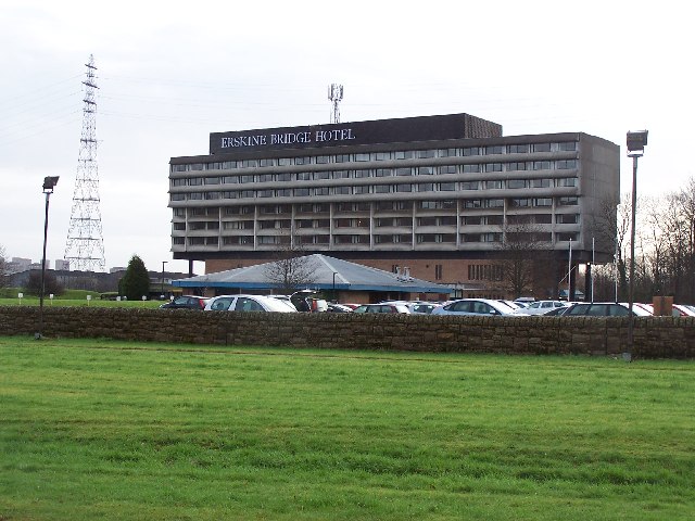
Erskine Bridge Hotel & Spa
The MGM Muthu Glasgow River Hotel, formerly the Erskine Bridge Hotel & Spa is situated on the banks of the River Clyde in Erskine, Renfrewshire. The hotel...

Erskine Bridge
The Erskine Bridge is a multi span cable-stayed box girder bridge spanning the River Clyde in west central Scotland. The bridge connects West Dunbartonshire...

India of Inchinnan
India of Inchinnan is now a commercial site in Inchinnan, Renfrewshire, Scotland, that was formerly used for various industrial uses. It includes the...
Nearby Amenities
Located within 500m of 55.897838,-4.4609453Have you been to Wheelburn Plantation?
Leave your review of Wheelburn Plantation below (or comments, questions and feedback).