Pant Wood
Wood, Forest in Ayrshire
Scotland
Pant Wood
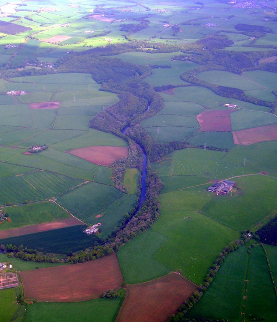
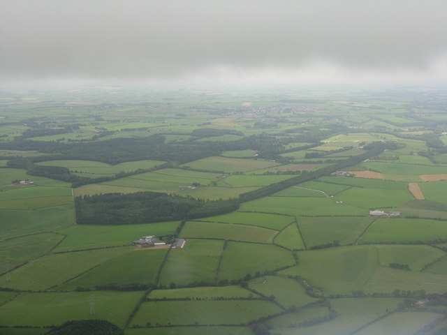
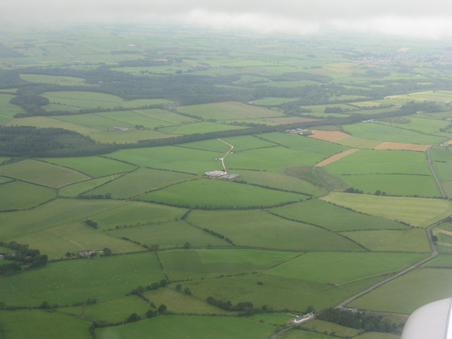
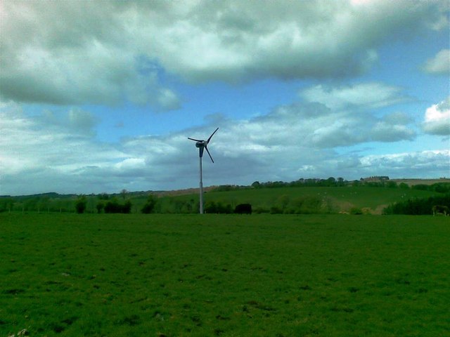
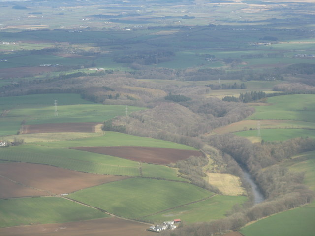
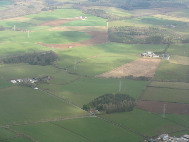
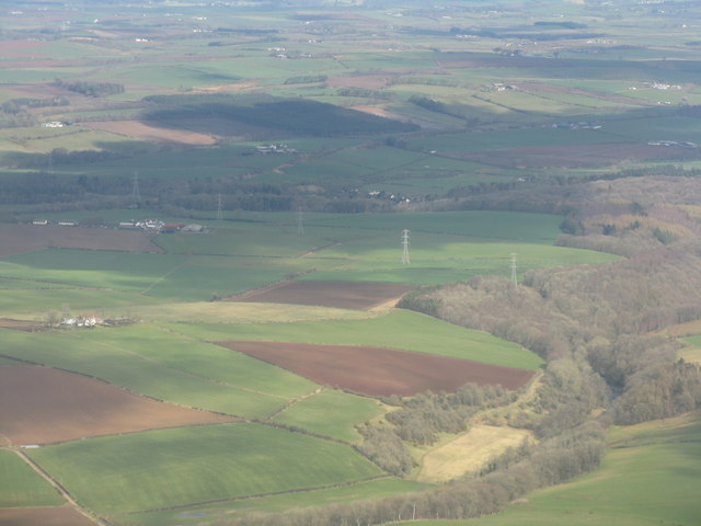
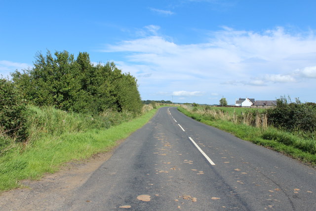
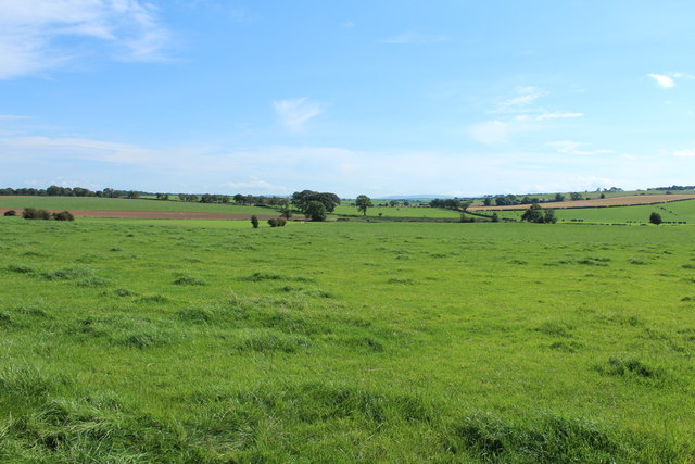
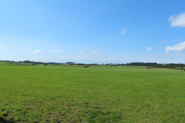
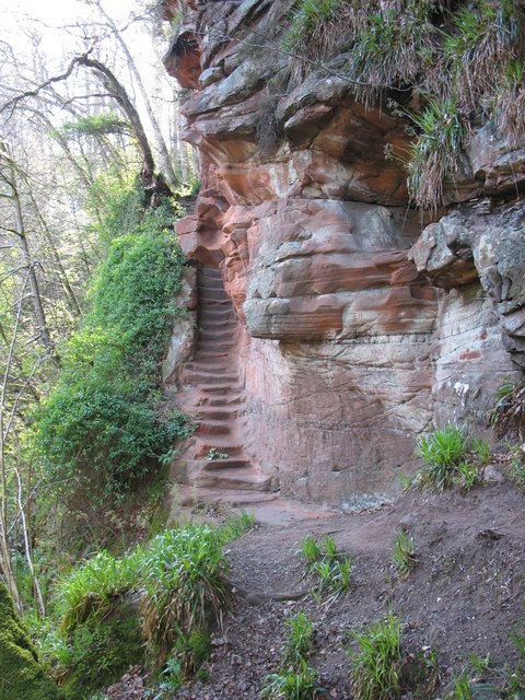
Pant Wood is a picturesque forest located in Ayrshire, a county in southwestern Scotland. The wood is situated near the village of Coylton and covers an area of approximately 50 hectares. It is known for its diverse range of flora and fauna, making it an important ecological site in the region.
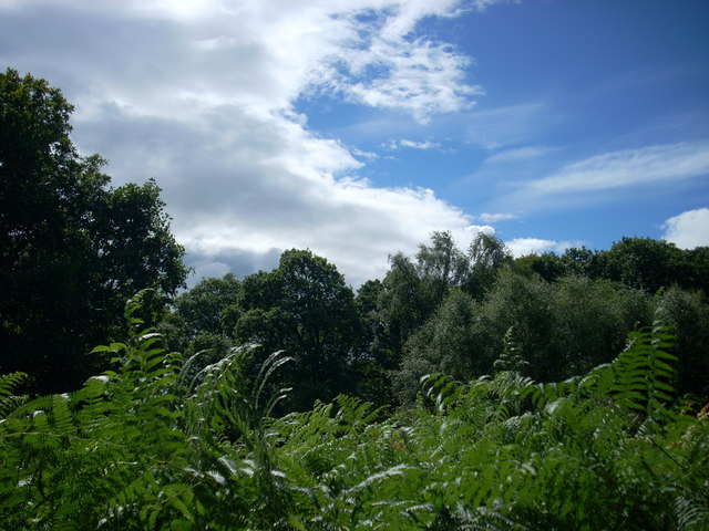
The wood is predominantly composed of broad-leaved trees such as oak, beech, and birch, creating a rich and vibrant woodland habitat. The dense canopy provides a sheltered environment for a variety of wildlife species, including birds, mammals, and insects. Visitors to Pant Wood can expect to see species such as red squirrels, roe deer, and a wide array of birdlife.
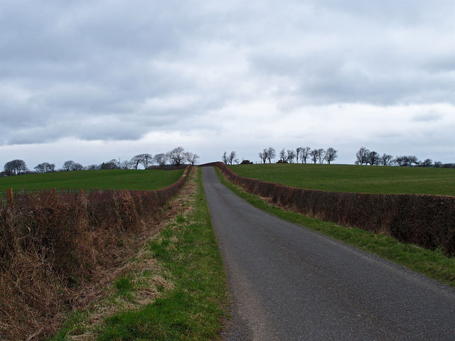
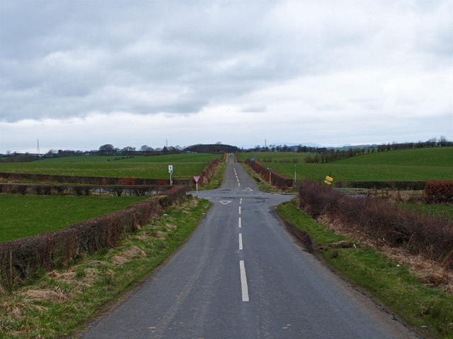
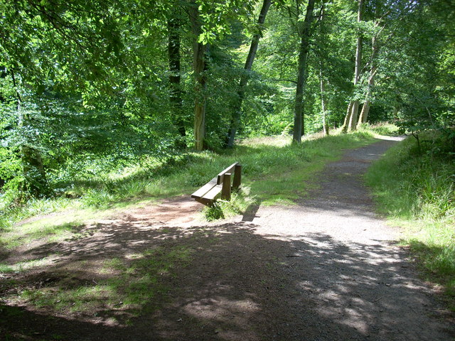
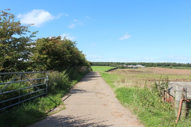
The wood is crisscrossed by several walking trails, offering visitors the opportunity to explore its natural beauty. These trails vary in length and difficulty, catering to both casual walkers and more experienced hikers. The paths wind through the forest, offering glimpses of babbling brooks, moss-covered rocks, and stunning wildflower displays during the summer months.
Pant Wood is also a popular spot for nature enthusiasts and photographers, who are drawn to its serene atmosphere and abundant wildlife. The wood is managed by local conservation groups, ensuring its long-term preservation and protection.
Overall, Pant Wood in Ayrshire is a haven for nature lovers, offering a tranquil escape from the hustle and bustle of everyday life. Its natural beauty, diverse wildlife, and well-maintained trails make it a must-visit destination for anyone seeking a peaceful woodland retreat.
If you have any feedback on the listing, please let us know in the comments section below.
Pant Wood Images
Images are sourced within 2km of 55.482812/-4.4347758 or Grid Reference NS4623. Thanks to Geograph Open Source API. All images are credited.
Pant Wood is located at Grid Ref: NS4623 (Lat: 55.482812, Lng: -4.4347758)
Unitary Authority: East Ayrshire
Police Authority: Ayrshire
What 3 Words
///mere.wounds.snug. Near Tarbolton, South Ayrshire
Nearby Locations
Related Wikis

Loch of Stair
The Loch of Stair was a typical Ayrshire post-glacial 'Kettle Hole', situated in a low-lying area below the farm of Loch Hill, in the Parish of Stair,...

Trabboch Castle
Trabboch Castle (NS 458 221) is a ruined L-plan tower house in the old Barony of Trabboch, Parish of Stair, East Ayrshire, Scotland. == History == ��3...

Trabboch
Trabboch is a hamlet in East Ayrshire, Scotland. Built as a miners village in the 1880s, it was owned and leased by Wm. Baird & Co., Ltd. and at one time...

Cumnock and Doon Valley
Cumnock and Doon Valley (Scottish Gaelic: Cumnag agus Srath Dhùin) was one of nineteen local government districts in the Strathclyde region of Scotland...

Stair House
Stair House is a late 16th- or early 17th-century house near the village of Stair, in Ayrshire, Scotland. It was the birthplace of John Dalrymple, 1st...
Stair, East Ayrshire
Stair is a village in Ayrshire, Scotland. It lies at the bottom of a glen beside the River Ayr at the north-west border of the 5,376 acre (22 km2) Parish...
Water of Fail
The Water of Fail, or River Fail, is a fast-flowing river in South Ayrshire, Scotland. It rises in the hills north of Tarbolton, flowing generally south...

Failford
Failford (Scots: Failfuird) is a hamlet in South Ayrshire, Scotland. It is 4 kilometres (2.5 mi) west of Mauchline, where the Water of Fail flows into...
Nearby Amenities
Located within 500m of 55.482812,-4.4347758Have you been to Pant Wood?
Leave your review of Pant Wood below (or comments, questions and feedback).