Park Mains

Settlement in Renfrewshire

Scotland

Park Mains

Bonded warehouses Some of the many bonded warehouses beside the River Clyde on a sunny afternoon with hardly a cloud in the sky.
Bonded warehouses Credit: Richard Sutcliffe

Park Mains is a residential area located in Renfrewshire, Scotland. It is situated on the outskirts of the town of Erskine, approximately 14 miles west of Glasgow. The area is known for its well-planned housing estates and peaceful surroundings, making it an attractive place to live for families and professionals alike.

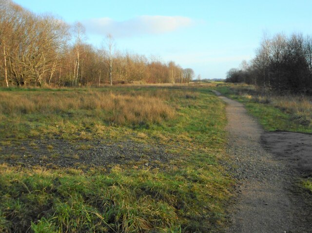
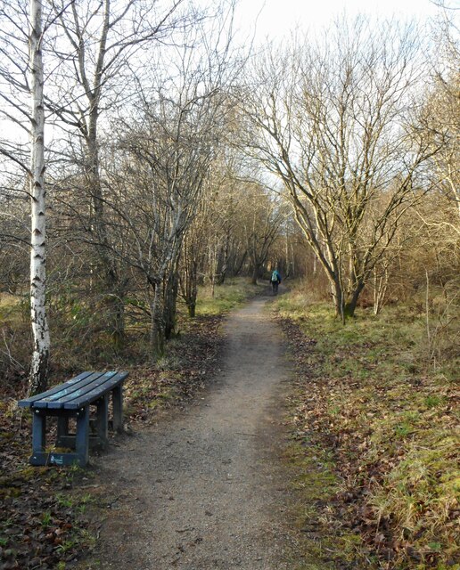
Park Mains offers a variety of housing options, including detached and semi-detached houses, as well as some apartment complexes. The properties are well-maintained and often feature modern amenities, such as spacious gardens, driveways, and garages. The area is known for its green spaces, with several parks and recreational areas available for residents to enjoy.

The community in Park Mains is vibrant and close-knit, with several local amenities catering to the needs of the residents. A range of shops, including supermarkets and convenience stores, can be found in the vicinity, ensuring that daily necessities are easily accessible. There are also a few local pubs and restaurants, providing options for dining out and socializing.

For families with children, Park Mains benefits from having a primary school within the area, ensuring convenience for parents. Additionally, there are good transportation links, with regular bus services connecting Park Mains to nearby towns and cities.

Overall, Park Mains offers residents a peaceful and well-connected place to live, with a strong sense of community and a range of amenities to cater to their needs.

If you have any feedback on the listing, please let us know in the comments section below.

Park Mains Images

Images are sourced within 2km of 55.894293/-4.44986 or Grid Reference NS4669. Thanks to Geograph Open Source API. All images are credited.

Bonded warehouses Some of the many bonded warehouses beside the River Clyde on a sunny afternoon with hardly a cloud in the sky.
Bonded warehouses
Some of the many bonded warehouses beside the River Clyde on a sunny afternoon with hardly a cloud in the sky.
Dalmuir Waste Water Treatment Works Seen from across the River Clyde. Large numbers of gulls are on the water beside the outfall.
Dalmuir Waste Water Treatment Works
Seen from across the River Clyde. Large numbers of gulls are on the water beside the outfall.
The Rashilee Light A navigation beacon on the south bank of the River Clyde. The green compressed gas cylinder used to power the light, but it is now powered by a small solar panel on the southwest side at the top beside the light. See Canmore <span class="nowrap"><a title="https://canmore.org.uk/site/350802/river-clyde-rashilee-light" rel="nofollow ugc noopener" href="https://canmore.org.uk/site/350802/river-clyde-rashilee-light">Link</a><img style="margin-left:2px;" alt="External link" title="External link - shift click to open in new window" src="https://s1.geograph.org.uk/img/external.png" width="10" height="10"/></span>.
The Rashilee Light
A navigation beacon on the south bank of the River Clyde. The green compressed gas cylinder used to power the light, but it is now powered by a small solar panel on the southwest side at the top beside the light. See Canmore LinkExternal link.
The Rashilee Light A navigation beacon on the south bank of the River Clyde. The green compressed gas cylinder used to power the light, but it is now powered by a small solar panel on the southwest side at the top beside the light. See Canmore <span class="nowrap"><a title="https://canmore.org.uk/site/350802/river-clyde-rashilee-light" rel="nofollow ugc noopener" href="https://canmore.org.uk/site/350802/river-clyde-rashilee-light">Link</a><img style="margin-left:2px;" alt="External link" title="External link - shift click to open in new window" src="https://s1.geograph.org.uk/img/external.png" width="10" height="10"/></span>.

The Erskine Bridge is visible in the distance.
The Rashilee Light
A navigation beacon on the south bank of the River Clyde. The green compressed gas cylinder used to power the light, but it is now powered by a small solar panel on the southwest side at the top beside the light. See Canmore LinkExternal link. The Erskine Bridge is visible in the distance.
Flaking paint and graffiti The green paint on the compressed gas cylinder used to power the Rashilee Light <a href="https://www.geograph.org.uk/photo/7072343">NS4770 : The Rashilee Light</a> is flaking and has also been covered by some colourful graffiti.
Flaking paint and graffiti
The green paint on the compressed gas cylinder used to power the Rashilee Light NS4770 : The Rashilee Light is flaking and has also been covered by some colourful graffiti.
Park Quay Disused quay on the River Clyde.
Park Quay
Disused quay on the River Clyde.
Sign for Newshot Island Local Nature Reserve Erskine's only Nature Reserve. The Inner Clyde estuary is an internationally designated site for the protection of wintering wading birds.
Sign for Newshot Island Local Nature Reserve
Erskine's only Nature Reserve. The Inner Clyde estuary is an internationally designated site for the protection of wintering wading birds.
Hospital across the Clyde The NHS Golden Jubilee Hospital, seen from beside Park Quay. In the foreground is the silhouette of a sunken barge, lying in the mud.
Hospital across the Clyde
The NHS Golden Jubilee Hospital, seen from beside Park Quay. In the foreground is the silhouette of a sunken barge, lying in the mud.
Newshot Island Boat Graveyard Two of about 50 barges, punts and other vessels abandoned in the mud between Erskine and Newshot Island. Many of these were used during the deepening of the channel of the River Clyde in the late 19th and early 20th centuries.
Newshot Island Boat Graveyard
Two of about 50 barges, punts and other vessels abandoned in the mud between Erskine and Newshot Island. Many of these were used during the deepening of the channel of the River Clyde in the late 19th and early 20th centuries.
Newshot Island Despite the name, Newshot Island isn't actually an island, as it is connected to the southern bank of the River Clyde. The Inner Clyde estuary is an internationally designated site for the protection of wintering wading birds.

The NHS Golden Jubilee Hospital can be seen on the other side of the river.
Newshot Island
Despite the name, Newshot Island isn't actually an island, as it is connected to the southern bank of the River Clyde. The Inner Clyde estuary is an internationally designated site for the protection of wintering wading birds. The NHS Golden Jubilee Hospital can be seen on the other side of the river.
Clearing, Newshot Island LNR A clearing within the wooded area of Newshot Island Local Nature Reserve.
Clearing, Newshot Island LNR
A clearing within the wooded area of Newshot Island Local Nature Reserve.
Footpath beside Newshot Island LNR The footpath goes past the edge of Newshot Island Local Nature Reserve and leads to Newshot Drive.
Footpath beside Newshot Island LNR
The footpath goes past the edge of Newshot Island Local Nature Reserve and leads to Newshot Drive.
Footpath, Newshot Island Local Nature Reserve
Outfall, Dalmuir Waste Water Treatment Works Large numbers of gulls congregate on the water beside the outfall into the River Clyde.
Outfall, Dalmuir Waste Water Treatment Works
Large numbers of gulls congregate on the water beside the outfall into the River Clyde.
Bonded warehouses Some of the many bonded warehouses beside the River Clyde at Dalmuir. The Duntocher Burn joins the Clyde on the far right.
Bonded warehouses
Some of the many bonded warehouses beside the River Clyde at Dalmuir. The Duntocher Burn joins the Clyde on the far right.
Bonded warehouses Some of the many bonded warehouses beside the River Clyde at Dalmuir.
Bonded warehouses
Some of the many bonded warehouses beside the River Clyde at Dalmuir.
Electricity pylon An extra-tall and sturdy pylon on the south side of the River Clyde, carrying power lines across the river.
Electricity pylon
An extra-tall and sturdy pylon on the south side of the River Clyde, carrying power lines across the river.
Show me another place!

Park Mains is located at Grid Ref: NS4669 (Lat: 55.894293, Lng: -4.44986)

Unitary Authority: Renfrewshire

Police Authority: Renfrewshire and Inverclyde

What 3 Words

///goods.shorts.dose. Near Erskine, Renfrewshire

Related Wikis

Lamont Farm

Lamont Farm Project is based in Erskine, Renfrewshire. It is a city farm which is open to the public. == History == Lamont Farm Project was founded in...

Inchinnan

Inchinnan (; Scottish Gaelic: Innis Fhionghain) is a small village in Renfrewshire, Scotland. The village is located on the main A8 road between Renfrew...

Park Mains High School

Park Mains High School is a secondary school in Erskine, Renfrewshire. It is one of the biggest schools in Scotland. As well as taking in students from...

India of Inchinnan

India of Inchinnan is now a commercial site in Inchinnan, Renfrewshire, Scotland, that was formerly used for various industrial uses. It includes the...
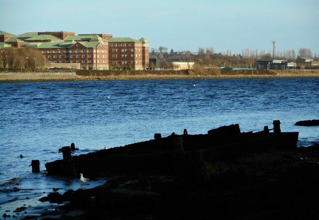
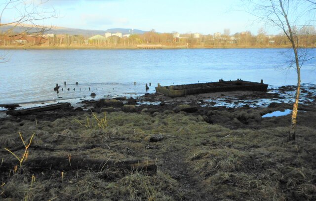
Park Quay

The disused Park Quay or Fulton's Quay (NS 47436 70692) is located on the old Lands of Park, situated on the south bank of the River Clyde in the Parish...

Inchinnan Castle

Inchinnan Castle was a 16th-century castle, about 1 mile (1.6 km) south and east of Erskine, Renfrewshire, Scotland, and about 0.5 miles (0.80 km) north...

Erskine

Erskine (, Scots: Erskin, Scottish Gaelic: Arasgain) is a town in the council area of Renfrewshire, and historic county of the same name, situated in the...

Beardmore Crane

The Beardmore Crane was a giant cantilever crane at the William Beardmore and Company yard. == Design == The Beardmore Crane had two opposite cantilevered...

Nearby Amenities

Located within 500m of 55.894293,-4.44986
Turning Circle
Lat/Long: 55.8946225/-4.4555958
Turning Circle
Lat/Long: 55.8941931/-4.4530671
Noexit: yes
Lat/Long: 55.8934182/-4.4479544
Bus Stop
Source: survey; bing
Lat/Long: 55.8960942/-4.455675
Bus Stop
Source: survey; bing
Lat/Long: 55.896192/-4.455836
Bus Stop
Shelter: yes
Lat/Long: 55.8942199/-4.4506762
Turning Circle
Lat/Long: 55.8937858/-4.4520244
Turning Circle
Lat/Long: 55.8929276/-4.4479749
Turning Circle
Lat/Long: 55.8926851/-4.4468984
Turning Circle
Lat/Long: 55.8923127/-4.447623
Turning Circle
Lat/Long: 55.8925705/-4.4479484
Freeland
Place: suburb
Lat/Long: 55.8921559/-4.4487825
Post Box
Operator: Royal Mail
Post Box Mounting: pier
Post Box Type: lamp
Ref: PA8 192
Royal Cypher: scottish_crown
Lat/Long: 55.8964263/-4.4484621
The data included in this document is from www.openstreetmap.org. The data is made available under ODbL.

Have you been to Park Mains?

Leave your review of Park Mains below (or comments, questions and feedback).