Freeland

Settlement in Renfrewshire

Scotland

Freeland

Footpath, Newshot Island Local Nature Reserve
Footpath, Newshot Island Local Nature Reserve Credit: Richard Sutcliffe

Freeland is a small village located in Renfrewshire, Scotland. Situated about 10 miles west of Glasgow, it lies on the outskirts of the town of Paisley. Despite its proximity to urban areas, Freeland still maintains a rural charm and tranquility.

The village is primarily residential, with a population of around 1,500 people. It is characterized by a mix of traditional stone-built houses and modern developments. The streets are lined with well-maintained gardens and green spaces, providing a pleasant atmosphere for residents and visitors alike.

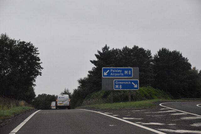
Freeland benefits from a range of amenities and services that cater to the needs of its residents. These include a primary school, a community center, and a local convenience store. The village also has excellent transport links, with regular bus services connecting it to neighboring towns and cities.

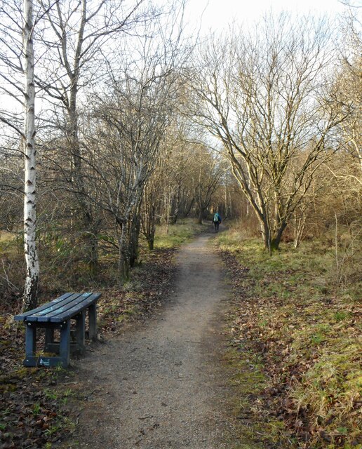
For recreational activities, Freeland offers a number of options. The surrounding countryside provides opportunities for outdoor pursuits such as walking, cycling, and fishing. Just a short drive away, residents can access larger recreational facilities, including golf courses and sports centers.

In terms of historical significance, Freeland is known for its connections to the textile industry. In the past, the village was home to several mills that produced textiles, contributing to the local economy. Today, remnants of this industrial heritage can still be seen in the form of converted mill buildings and architectural features.

Overall, Freeland offers a peaceful and picturesque living environment, making it an attractive place to reside for those seeking a balance between rural living and urban convenience.

If you have any feedback on the listing, please let us know in the comments section below.
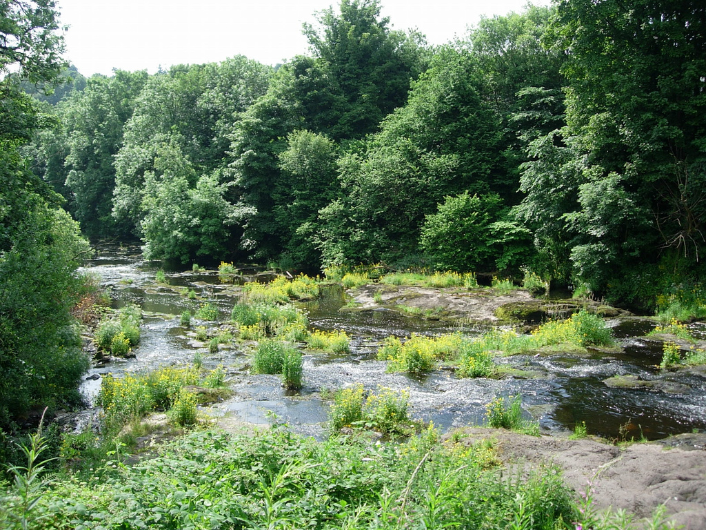
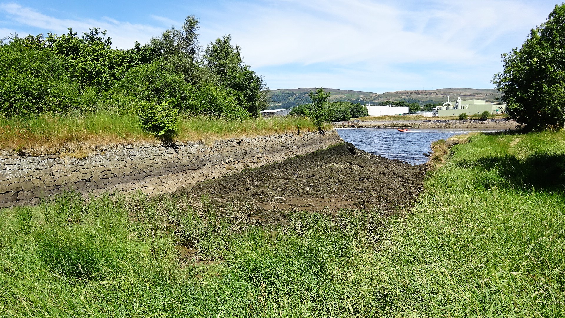
Freeland Images

Images are sourced within 2km of 55.889436/-4.4639798 or Grid Reference NS4669. Thanks to Geograph Open Source API. All images are credited.

Footpath, Newshot Island Local Nature Reserve
M898 The M898 is a motorway in Renfrewshire, Scotland linking the M8 with the Erskine Bridge. It opened on 27 December 1970  in advance of the bridge opening on 2 July 1971. It is a mere one mile long and has no hard shoulders.
M898
The M898 is a motorway in Renfrewshire, Scotland linking the M8 with the Erskine Bridge. It opened on 27 December 1970 in advance of the bridge opening on 2 July 1971. It is a mere one mile long and has no hard shoulders.
Slip road to M8, M898 The M898 is a motorway in Renfrewshire, Scotland linking the M8 with the Erskine Bridge. It opened on 27 December 1970  in advance of the bridge opening on 2 July 1971. It is a mere one mile long and has no hard shoulders.
Slip road to M8, M898
The M898 is a motorway in Renfrewshire, Scotland linking the M8 with the Erskine Bridge. It opened on 27 December 1970 in advance of the bridge opening on 2 July 1971. It is a mere one mile long and has no hard shoulders.
Barrangary Farm On the road to Inchinnan.
Barrangary Farm
On the road to Inchinnan.
India of Inchinnan They once made motor car tyres.
India of Inchinnan
They once made motor car tyres.
Barnsford Bridge Spans the Black Cart near the Glasgow Airport.
Barnsford Bridge
Spans the Black Cart near the Glasgow Airport.
Park Hall Nursery, Inchinnan
The Red Smiddy Roundabout The Old Smiddy was knocked down for road re-development.
The Red Smiddy Roundabout
The Old Smiddy was knocked down for road re-development.
M8 Motorway Bridge The M8 crosses the Georgetown road to Houston.
M8 Motorway Bridge
The M8 crosses the Georgetown road to Houston.
Barnhill Farm
Barnhill Farm
Southbar Farm
Southbar Farm
Southholm Roundabout Turn left for Erskine Bridge
Southholm Roundabout
Turn left for Erskine Bridge
Black Cart Water next to the Barnsford Bridge by Glasgow Airport.
M8 westbound Most of this square is within ROF (Royal Ordnance Factory) Bishopton, the remainder is mostly motorway or railway track, with little or no land accessible on foot by the general public. The matrix sign is used to warn drivers of any delays on or around the Erskine Bridge. There is a similar one on the eastbound approach to the bridge.
M8 westbound
Most of this square is within ROF (Royal Ordnance Factory) Bishopton, the remainder is mostly motorway or railway track, with little or no land accessible on foot by the general public. The matrix sign is used to warn drivers of any delays on or around the Erskine Bridge. There is a similar one on the eastbound approach to the bridge.
North Commonside Farm amongst big arable fields. The M8 in the background.
North Commonside
Farm amongst big arable fields. The M8 in the background.
Broom Hill Trig point hidden amongst a grown out hedge and whin. A small hill that was being grazed by cattle.
Broom Hill
Trig point hidden amongst a grown out hedge and whin. A small hill that was being grazed by cattle.
New Mains The site of New Mains farm is now occupied by an industrial estate. Major airports are often surrounded by industrial estates and distribution centres , handling materials freighted in and out by air.  The passengers on an aircraft occupy the top half of a cylinder - below are holds for luggage and freight. Airlines hire out this space to cargo agents who sell it on to those that need to move cargo by air.
New Mains
The site of New Mains farm is now occupied by an industrial estate. Major airports are often surrounded by industrial estates and distribution centres , handling materials freighted in and out by air. The passengers on an aircraft occupy the top half of a cylinder - below are holds for luggage and freight. Airlines hire out this space to cargo agents who sell it on to those that need to move cargo by air.
Inchinnan Business Park Industrial estate next to Glasgow Airport.
Inchinnan Business Park
Industrial estate next to Glasgow Airport.
Show me another place!

Freeland is located at Grid Ref: NS4669 (Lat: 55.889436, Lng: -4.4639798)

Unitary Authority: Renfrewshire

Police Authority: Renfrewshire and Inverclyde

What 3 Words

///important.talents.mediate. Near Erskine, Renfrewshire

Related Wikis

Lamont Farm

Lamont Farm Project is based in Erskine, Renfrewshire. It is a city farm which is open to the public. == History == Lamont Farm Project was founded in...

Park Mains High School

Park Mains High School is a secondary school in Erskine, Renfrewshire. It is one of the biggest schools in Scotland. As well as taking in students from...

India of Inchinnan

India of Inchinnan is now a commercial site in Inchinnan, Renfrewshire, Scotland, that was formerly used for various industrial uses. It includes the...

Georgetown railway station (Scotland)

Georgetown railway station was a railway station serving the village of Houston, Renfrewshire, Scotland, originally as part of the Glasgow, Paisley and...

Inchinnan

Inchinnan (; Scottish Gaelic: Innis Fhionghain) is a small village in Renfrewshire, Scotland. The village is located on the main A8 road between Renfrew...

Erskine

Erskine (, Scots: Erskin, Scottish Gaelic: Arasgain) is a town in the council area of Renfrewshire, and historic county of the same name, situated in the...

River Gryfe

The River Gryfe (or Gryffe) is a river and tributary of the Black Cart Water, running through the County of Renfrew in the west of Scotland. It gives...

Park Quay

The disused Park Quay or Fulton's Quay (NS 47436 70692) is located on the old Lands of Park, situated on the south bank of the River Clyde in the Parish...

Nearby Amenities

Located within 500m of 55.889436,-4.4639798
Power: tower
Source: Bing
Lat/Long: 55.8865316/-4.4655883
Power: tower
Lat/Long: 55.886674/-4.4577847
Power: tower
Lat/Long: 55.8910902/-4.4593111
Power: tower
Source: Bing
Lat/Long: 55.8897134/-4.4630901
Power: tower
Source: Bing
Lat/Long: 55.8928141/-4.4606554
Power: tower
Lat/Long: 55.8891734/-4.4586486
Barrier: yes
Lat/Long: 55.8876851/-4.4666704
Power: pole
Lat/Long: 55.886289/-4.469489
Power: pole
Lat/Long: 55.8865588/-4.4682745
Power: pole
Lat/Long: 55.8868311/-4.467062
Power: pole
Lat/Long: 55.8870799/-4.4657434
The data included in this document is from www.openstreetmap.org. The data is made available under ODbL.

Have you been to Freeland?

Leave your review of Freeland below (or comments, questions and feedback).