Loch Plantation
Wood, Forest in Ayrshire
Scotland
Loch Plantation
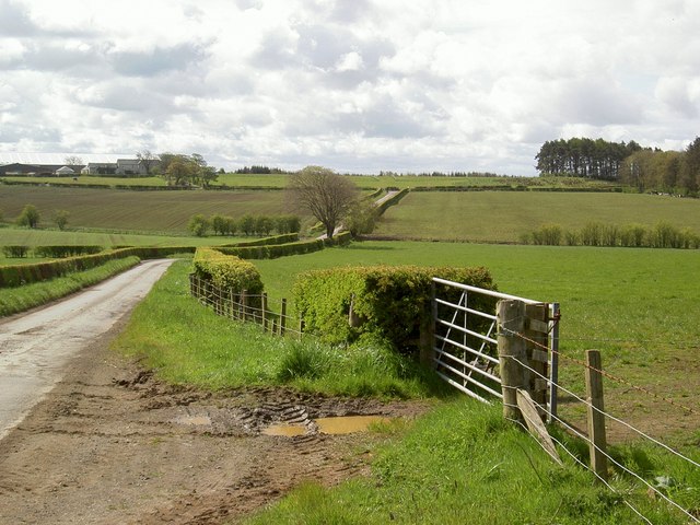
Loch Plantation, located in Ayrshire, Scotland, is a stunning woodland area spread over a vast expanse of land. Known for its natural beauty and serene atmosphere, this plantation is a haven for nature enthusiasts and outdoor adventurers.
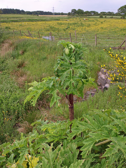
The plantation boasts a variety of trees, including oak, beech, and birch, which create a diverse and vibrant landscape throughout the year. The dense forest provides a home to a wide range of wildlife, including red squirrels, roe deer, and various bird species, making it an ideal destination for birdwatching and wildlife spotting.
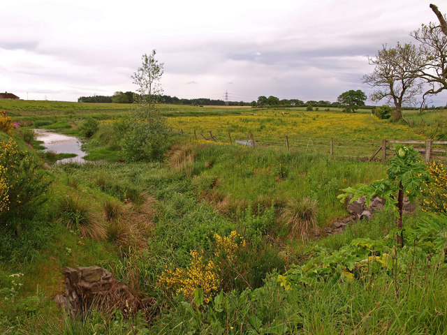
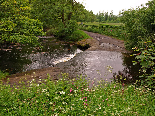
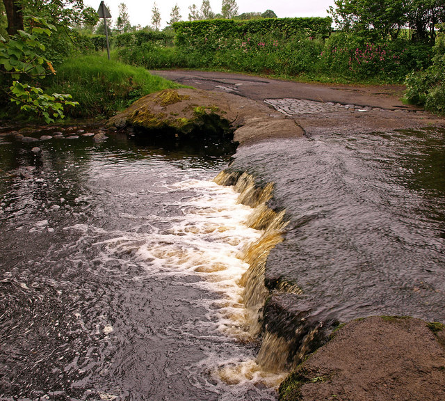
Loch Plantation is also home to a picturesque loch, which adds to the charm and tranquility of the area. The loch offers opportunities for fishing and boating, allowing visitors to fully immerse themselves in the natural surroundings.
The plantation features well-maintained walking trails that wind through the woodland, offering visitors the chance to explore and discover the hidden gems of the area. These trails cater to all levels of fitness and provide breathtaking views of the surrounding countryside.
Additionally, Loch Plantation offers various amenities for visitors, including picnic areas and camping facilities, allowing visitors to fully enjoy the beautiful surroundings for an extended period of time.
Overall, Loch Plantation in Ayrshire is a must-visit destination for nature lovers and those seeking a peaceful retreat. Its diverse flora and fauna, stunning loch, and well-maintained trails provide endless opportunities for exploration and relaxation in a truly enchanting setting.
If you have any feedback on the listing, please let us know in the comments section below.
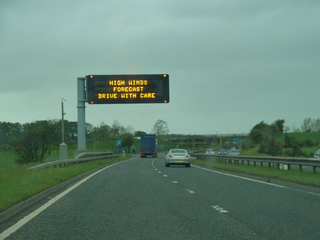
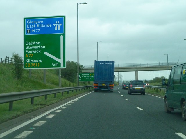
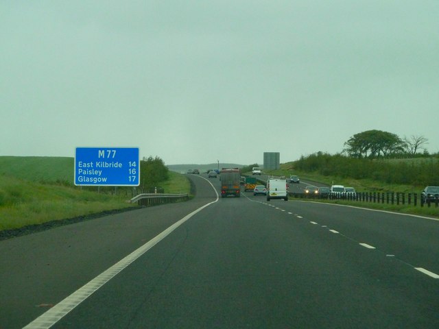
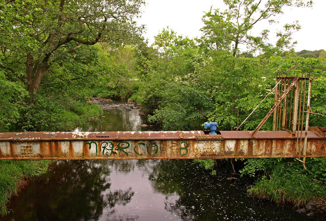
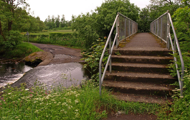
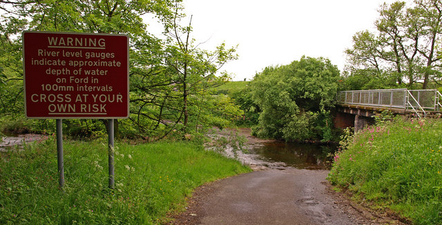
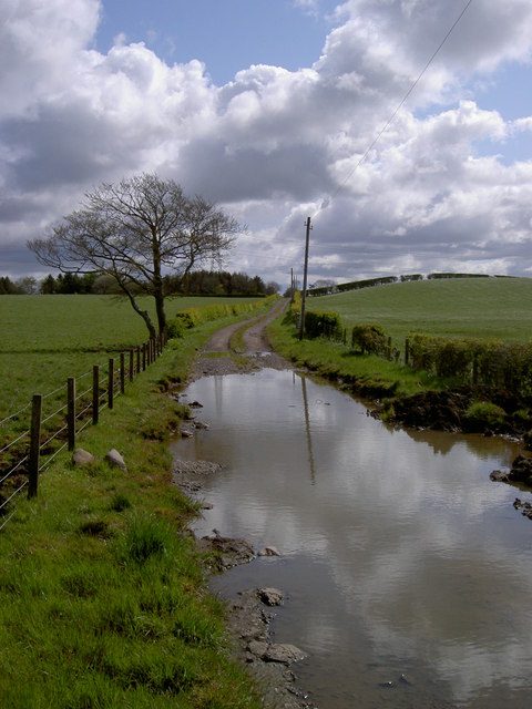
Loch Plantation Images
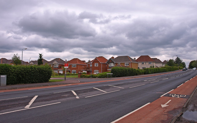
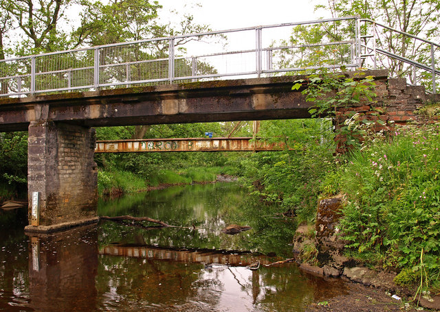
Images are sourced within 2km of 55.640736/-4.4536902 or Grid Reference NS4541. Thanks to Geograph Open Source API. All images are credited.

Loch Plantation is located at Grid Ref: NS4541 (Lat: 55.640736, Lng: -4.4536902)
Unitary Authority: East Ayrshire
Police Authority: Ayrshire
What 3 Words
///pampering.regime.heightens. Near Fenwick, East Ayrshire
Related Wikis
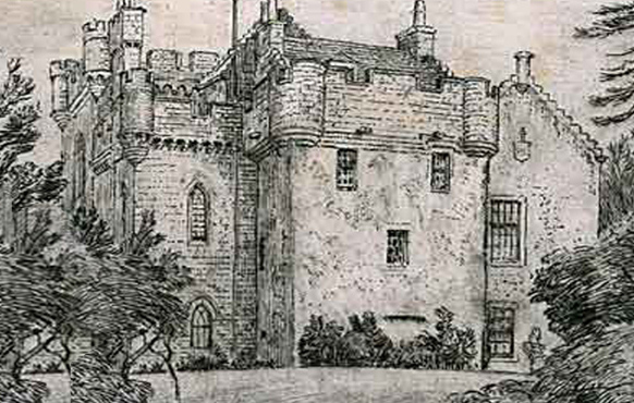
Craufurdland Castle
Craufurdland Castle is a rebuilt tower house, originating in the 16th century, about 2.5 miles (4.0 km) north east of Kilmarnock, East Ayrshire, Scotland...

Fenwick, East Ayrshire
Fenwick is a village in East Ayrshire, Scotland. In 2019, its population was estimated to be 989. Fenwick is the terminus of the M77 following its extension...

Rowallan Castle
Rowallan Castle (Scottish Gaelic: Caisteal an Rubha Àlainn) is an ancient castle located in Scotland. The castle stands on the banks of the Carmel Water...
Silverwood, Ayrshire
Silverwood in the Parish of Kilmarnock lies in East Ayrshire, Scotland. This was once a small estate with a mansion house; it is now a farm. The plantation...
Nearby Amenities
Located within 500m of 55.640736,-4.4536902Have you been to Loch Plantation?
Leave your review of Loch Plantation below (or comments, questions and feedback).