Coille Bheag

Wood, Forest in Inverness-shire

Scotland

Coille Bheag

On the summit of Creag Pitridh with view to Binnein Shuas & Creag Meagaidh
On the summit of Creag Pitridh with view to Binnein Shuas & Creag Meagaidh Credit: Colin Park

The requested URL returned error: 429 Too Many Requests

If you have any feedback on the listing, please let us know in the comments section below.
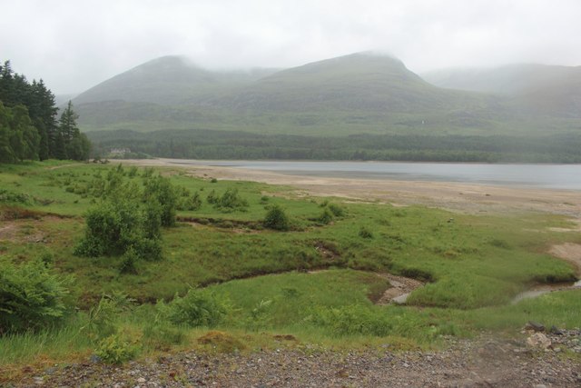
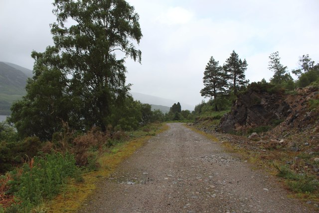
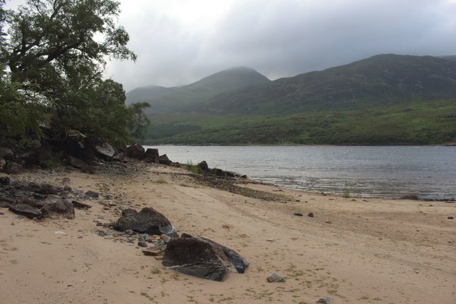
Coille Bheag Images

Images are sourced within 2km of 56.916682/-4.5369022 or Grid Reference NN4583. Thanks to Geograph Open Source API. All images are credited.

On the summit of Creag Pitridh with view to Binnein Shuas & Creag Meagaidh
Bends on the A86 An Cearcallach is the summit in the distance.
Bends on the A86
An Cearcallach is the summit in the distance.
Camp by the burn at Moy Woods
Allt Coire Choille-rais
Old alignment, A86 This was a lay by for some time after the road was straightened but the manger dogs blocked it off a few years ago.

It is striking how much the birches have grown along this road over the past few years.
Old alignment, A86
This was a lay by for some time after the road was straightened but the manger dogs blocked it off a few years ago. It is striking how much the birches have grown along this road over the past few years.
Binnein Shios from Binnein Shuas Looking towards Binnein Shios from Binnein Shuas
Binnein Shios from Binnein Shuas
Looking towards Binnein Shios from Binnein Shuas
Loch Laggan shore A86 road improvements are in progress.
Loch Laggan shore
A86 road improvements are in progress.
Mòinteach Mhòr
Mòinteach Mhòr
Head of Loch Laggan
Head of Loch Laggan
Lochan na h-Earbha In the background Black Rocks. It's an S.A.S. training object.
Lochan na h-Earbha
In the background Black Rocks. It's an S.A.S. training object.
Woodland, Moy Lodge Between the old alignment of the A86 and the River Spean, between Loch Laggan and the Moy Reservoir.
Woodland, Moy Lodge
Between the old alignment of the A86 and the River Spean, between Loch Laggan and the Moy Reservoir.
Old alignment, A86 Now a driveway to Moy Lodge.  Moy Lodge used to be a landmark on the Laggan road with tall trees. Many trees were lost in a gale (I think New Year 1984) and a new generation has grown beside the new road.
Old alignment, A86
Now a driveway to Moy Lodge. Moy Lodge used to be a landmark on the Laggan road with tall trees. Many trees were lost in a gale (I think New Year 1984) and a new generation has grown beside the new road.
Track crossing Mointeach Mhor A track crossing Mointeach Mhor. The track joins the main A86 road near Luiblea and runs the length of the southern side of Loch Laggan through the Ardverekie estate.
Track crossing Mointeach Mhor
A track crossing Mointeach Mhor. The track joins the main A86 road near Luiblea and runs the length of the southern side of Loch Laggan through the Ardverekie estate.
The south western end of Loch Laggan Looking across the sandy beach at the south western end of Loch Laggan.
The south western end of Loch Laggan
Looking across the sandy beach at the south western end of Loch Laggan.
Track alongside Loch Laggan The track which follows the south eastern shore of Loch Laggan. The East Highland Way long distance path follows the track along the lakeside.
Track alongside Loch Laggan
The track which follows the south eastern shore of Loch Laggan. The East Highland Way long distance path follows the track along the lakeside.
Beach on the shore of Loch Laggan A small sandy beach on the south eastern side of Loch Laggan.
Beach on the shore of Loch Laggan
A small sandy beach on the south eastern side of Loch Laggan.
View across Loch Laggan Looking west across Loch Laggan from a small and sheltered beach on the south eastern side of the loch.
View across Loch Laggan
Looking west across Loch Laggan from a small and sheltered beach on the south eastern side of the loch.
Small beach on Loch Laggan One of several small sandy beaches along the south eastern shore of Loch Laggan.
Small beach on Loch Laggan
One of several small sandy beaches along the south eastern shore of Loch Laggan.
Show me another place!

Coille Bheag is located at Grid Ref: NN4583 (Lat: 56.916682, Lng: -4.5369022)

Unitary Authority: Highland

Police Authority: Highlands and Islands

What 3 Words

///sweetly.press.routs. Near Gairlochy, Highland

Nearby Locations

Coille Bheag

Related Wikis

Binnein Shuas

Binnein Shuas (747 m) is a mountain in the Grampian Mountains of Scotland. It lies between Loch Laggan and Lochan na h-Earba in Inverness-shire. A steep...

Lochan na h-Earba

The single name Lochan na h-Earba is applied to two lochs to the south of Loch Laggan in Highland, Scotland, close to the historic boundary between Lochaber...

Loch Laggan

Loch Laggan is a freshwater loch situated approximately 6+1⁄2 mi (10.5 km) west of Dalwhinnie in the Scottish Highlands. The loch has an irregular shape...

Geal Charn (Loch Laggan)

Geal Charn (1,049 m) is a mountain in the Grampian Mountains of Scotland. It is situated in the Highlands, on the southern shore of Loch Laggan. A large...

Have you been to Coille Bheag?

Leave your review of Coille Bheag below (or comments, questions and feedback).