Wardknowe Plantation
Wood, Forest in Ayrshire
Scotland
Wardknowe Plantation

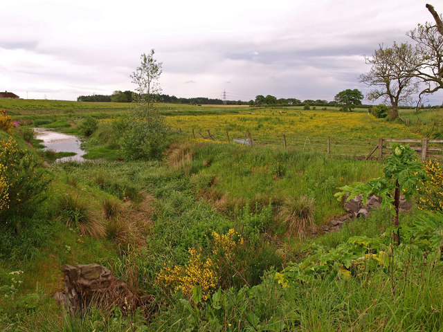
Wardknowe Plantation is a picturesque woodland situated in the region of Ayrshire, Scotland. Covering an area of approximately 100 hectares, it is renowned for its natural beauty and diverse flora and fauna. The plantation is located near the town of Cumnock, providing easy access for visitors.
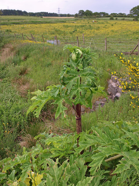
The woodland consists primarily of native tree species such as Scots pine, oak, birch, and rowan. These trees create a dense canopy, providing shade and shelter for a variety of wildlife. The forest floor is adorned with an array of wildflowers, including bluebells, primroses, and wood sorrel, creating a colorful tapestry during the spring months.
Wardknowe Plantation is a haven for birdwatchers, attracting a wide range of avian species. Visitors may spot great spotted woodpeckers, tree pipits, and crossbills among the towering trees. The woodland also supports a population of red squirrels, which can often be seen darting through the branches.
The plantation offers a network of well-maintained walking trails, allowing visitors to explore the woodland at their own pace. These trails vary in length and difficulty, catering to both casual strollers and avid hikers. Along the way, interpretive signs provide information about the local flora and fauna, enhancing the educational value of the experience.
Wardknowe Plantation is a beloved destination for nature enthusiasts and those seeking tranquility amidst Scotland's breathtaking landscapes. Its rich biodiversity and scenic beauty make it a must-visit location for anyone with an appreciation for the natural world.
If you have any feedback on the listing, please let us know in the comments section below.
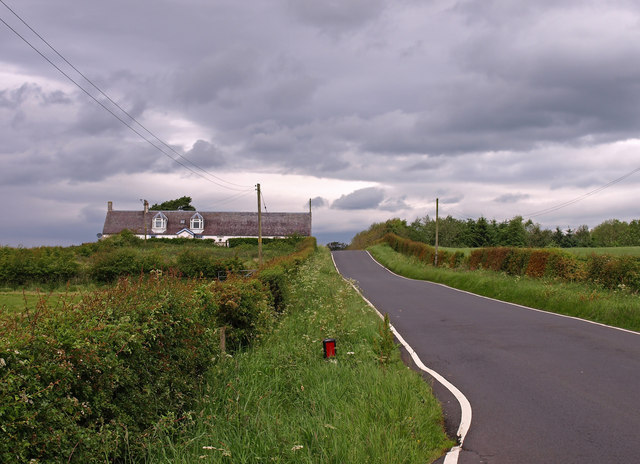
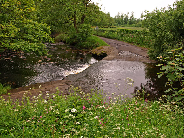
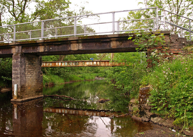
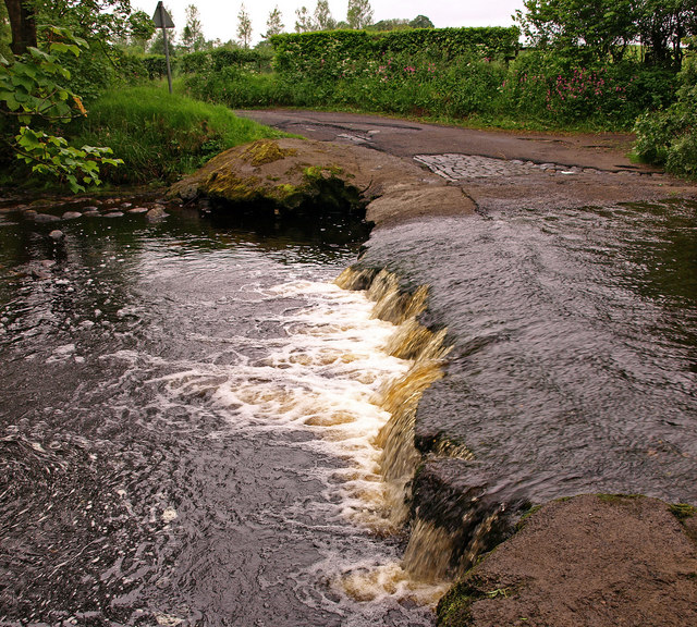
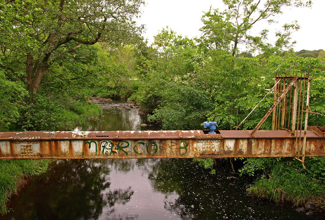
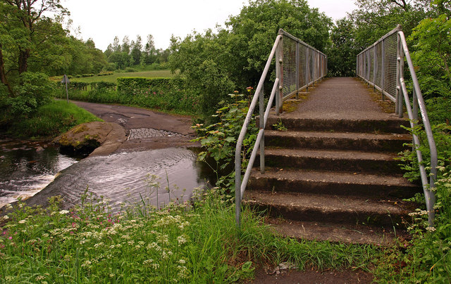
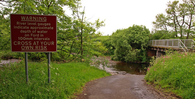
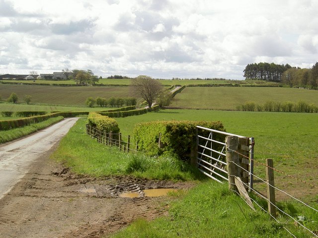
Wardknowe Plantation Images
Images are sourced within 2km of 55.639187/-4.4565015 or Grid Reference NS4541. Thanks to Geograph Open Source API. All images are credited.


Wardknowe Plantation is located at Grid Ref: NS4541 (Lat: 55.639187, Lng: -4.4565015)
Unitary Authority: East Ayrshire
Police Authority: Ayrshire
What 3 Words
///mock.shrug.recorder. Near Fenwick, East Ayrshire
Related Wikis

Craufurdland Castle
Craufurdland Castle is a rebuilt tower house, originating in the 16th century, about 2.5 miles (4.0 km) north east of Kilmarnock, East Ayrshire, Scotland...

Rowallan Castle
Rowallan Castle (Scottish Gaelic: Caisteal an Rubha Àlainn) is an ancient castle located in Scotland. The castle stands on the banks of the Carmel Water...

Silverwood, Ayrshire
Silverwood in the Parish of Kilmarnock lies in East Ayrshire, Scotland. This was once a small estate with a mansion house; it is now a farm. The plantation...
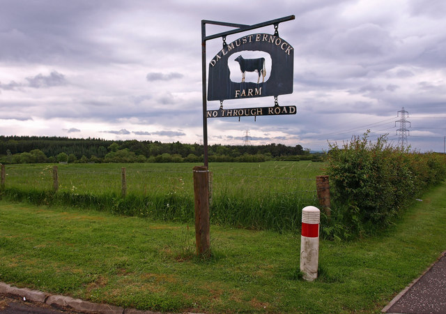
Fenwick, East Ayrshire
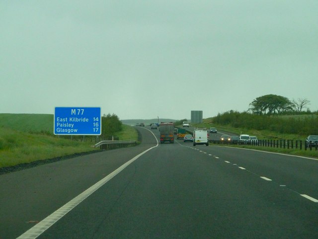
Fenwick is a village in East Ayrshire, Scotland. In 2019, its population was estimated to be 989. Fenwick is the terminus of the M77 following its extension...
Nearby Amenities
Located within 500m of 55.639187,-4.4565015Have you been to Wardknowe Plantation?
Leave your review of Wardknowe Plantation below (or comments, questions and feedback).