Saugh Plantation
Wood, Forest in Ayrshire
Scotland
Saugh Plantation
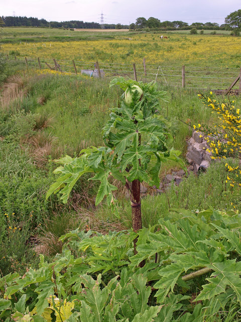
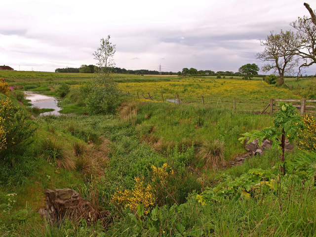
Saugh Plantation is a remarkable wood and forest located in Ayrshire, Scotland. Spread over an area of approximately 100 hectares, it is a captivating blend of ancient woodland and newer plantations, making it a haven for nature enthusiasts and hikers alike.
The plantation boasts an impressive array of tree species, including oak, beech, birch, and Scots pine, creating a diverse and visually stunning landscape. The old-growth stands of trees provide a glimpse into the past, with some specimens estimated to be over 200 years old.
The woodland is home to an abundance of wildlife, offering a sanctuary for various bird species, mammals, and insects. Bird watchers can spot elusive species such as the pied flycatcher and wood warbler, while red squirrels and roe deer can often be seen peacefully roaming the forest floor.
Saugh Plantation features a network of well-maintained trails, allowing visitors to explore the wood at their own pace. The trails cater to all levels of fitness and offer breathtaking views of the surrounding countryside. Interpretative signs along the way provide valuable information about the flora and fauna found within the plantation.
In recent years, the plantation has become a popular destination for recreational activities such as mountain biking, horse riding, and picnicking. The serene atmosphere and picturesque surroundings make it an ideal spot for families and individuals seeking a tranquil retreat from the hustle and bustle of everyday life.
Overall, Saugh Plantation in Ayrshire is a captivating wood and forest that offers a unique opportunity to immerse oneself in nature's beauty. With its diverse ecosystem, well-maintained trails, and abundant wildlife, it is a must-visit destination for anyone seeking a peaceful and enriching outdoor experience.
If you have any feedback on the listing, please let us know in the comments section below.
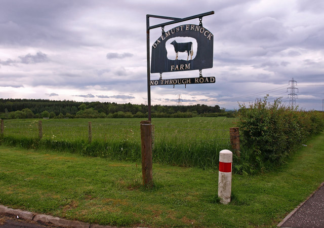
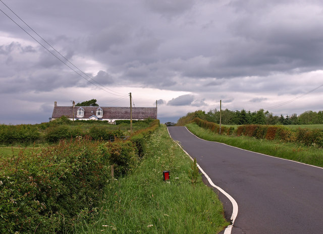
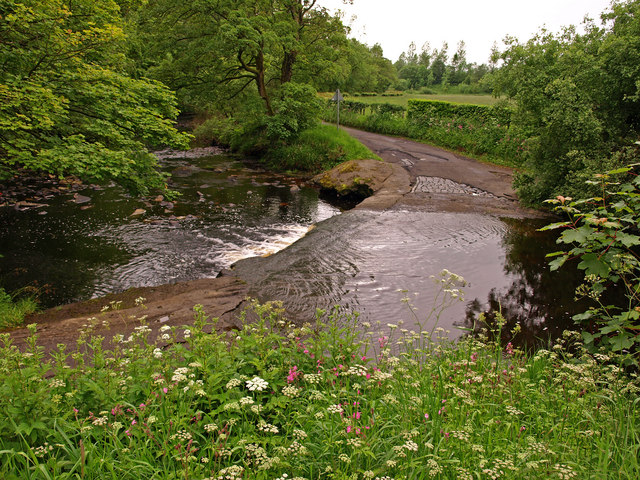
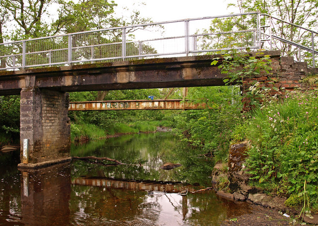
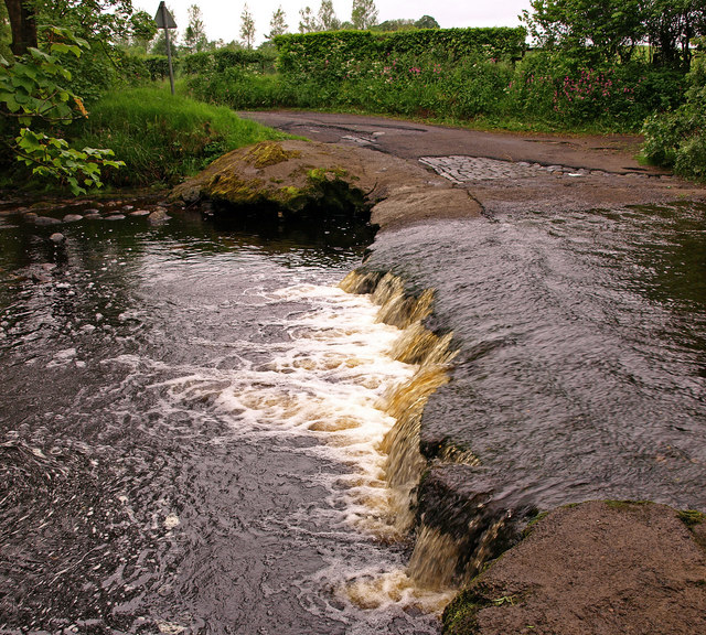
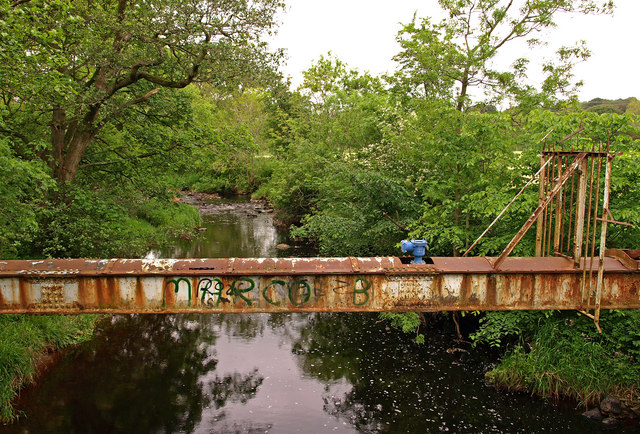
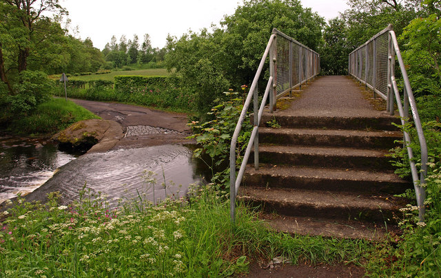
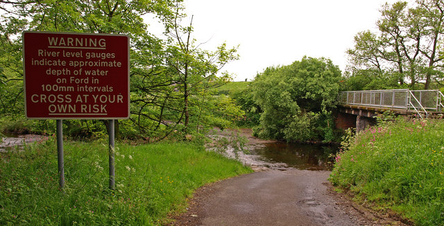
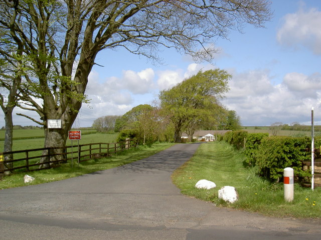
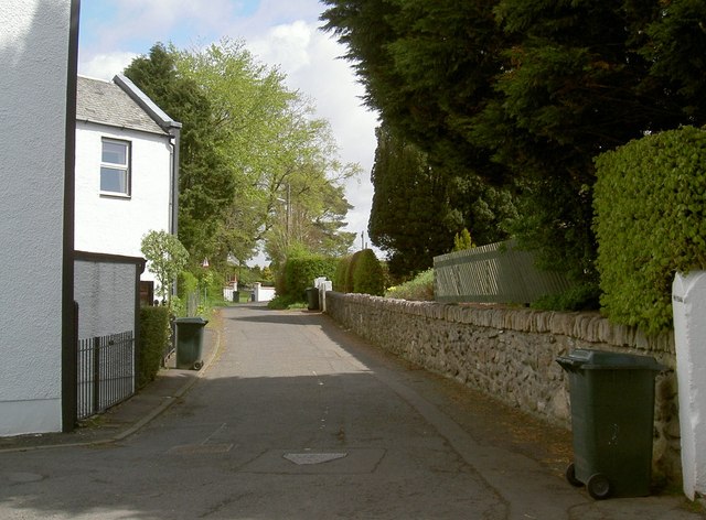
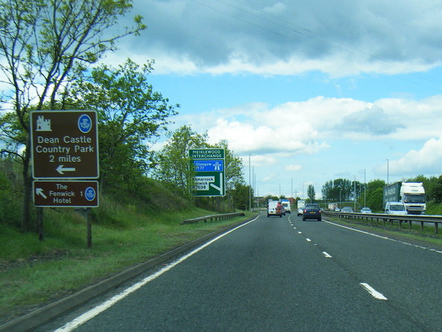
Saugh Plantation Images
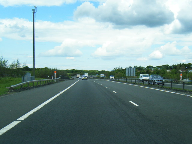
Images are sourced within 2km of 55.640286/-4.4487517 or Grid Reference NS4541. Thanks to Geograph Open Source API. All images are credited.

Saugh Plantation is located at Grid Ref: NS4541 (Lat: 55.640286, Lng: -4.4487517)
Unitary Authority: East Ayrshire
Police Authority: Ayrshire
What 3 Words
///product.intersect.sharpened. Near Fenwick, East Ayrshire
Related Wikis
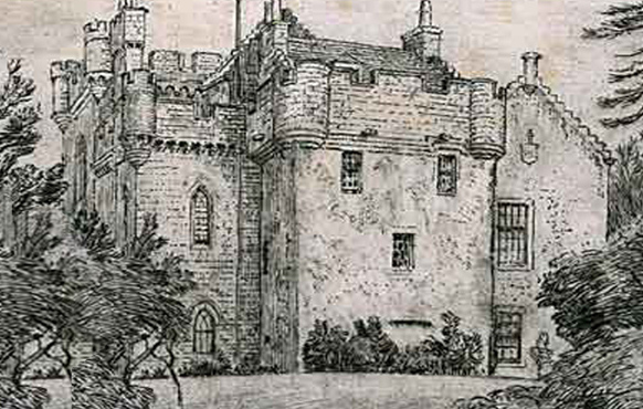
Craufurdland Castle
Craufurdland Castle is a rebuilt tower house, originating in the 16th century, about 2.5 miles (4.0 km) north east of Kilmarnock, East Ayrshire, Scotland...

Fenwick, East Ayrshire
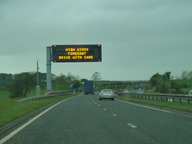
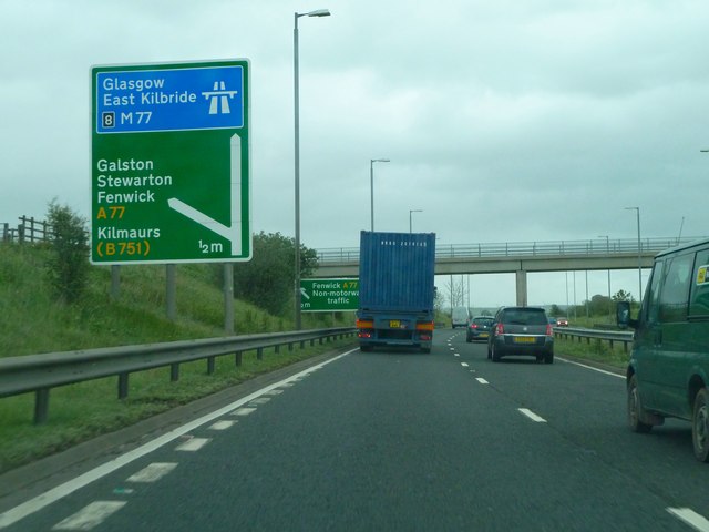
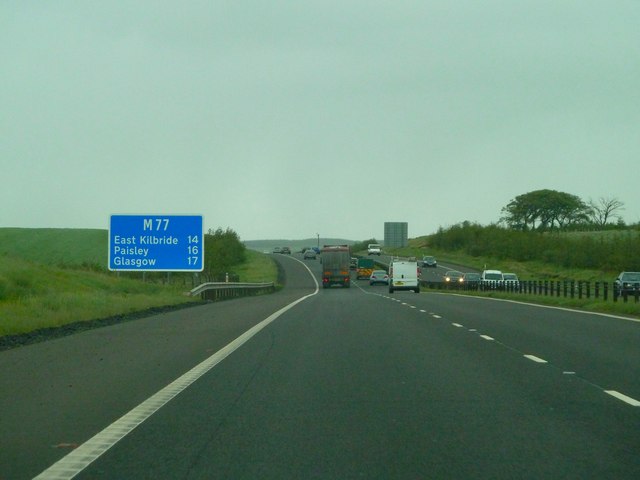
Fenwick is a village in East Ayrshire, Scotland. In 2019, its population was estimated to be 989. Fenwick is the terminus of the M77 following its extension...
Silverwood, Ayrshire
Silverwood in the Parish of Kilmarnock lies in East Ayrshire, Scotland. This was once a small estate with a mansion house; it is now a farm. The plantation...

Rowallan Castle
Rowallan Castle (Scottish Gaelic: Caisteal an Rubha Àlainn) is an ancient castle located in Scotland. The castle stands on the banks of the Carmel Water...
Nearby Amenities
Located within 500m of 55.640286,-4.4487517Have you been to Saugh Plantation?
Leave your review of Saugh Plantation below (or comments, questions and feedback).