Windiegoat Wood
Wood, Forest in Ayrshire
Scotland
Windiegoat Wood

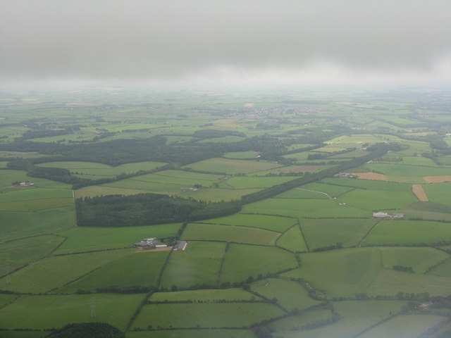
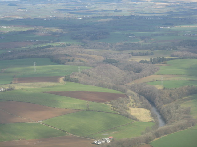
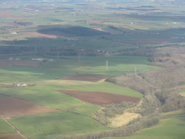
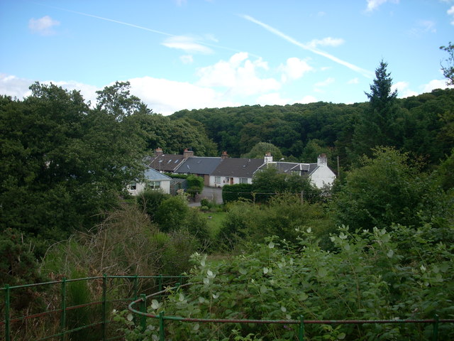
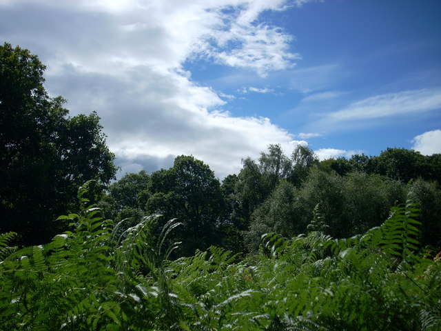
Windiegoat Wood is a picturesque woodland located in Ayrshire, Scotland. Spanning an area of approximately 200 acres, this enchanting forest is a haven for nature enthusiasts and hikers alike. The wood is situated on the outskirts of the small village of Windiegoat, and is easily accessible by foot or car.
The forest boasts a diverse range of flora and fauna, making it a popular destination for wildlife enthusiasts. Visitors can expect to encounter a variety of bird species, such as woodpeckers, owls, and thrushes, along with an array of small mammals including squirrels and rabbits. The woodland also features a number of native tree species such as oak, birch, and beech, creating a captivating and verdant environment.
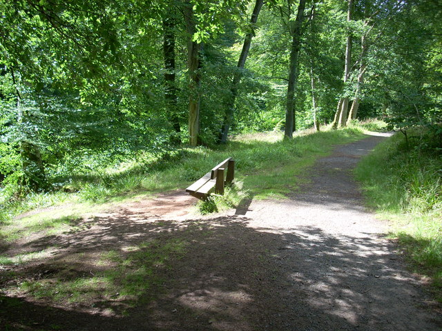
A network of well-maintained footpaths and trails wind their way through Windiegoat Wood, providing visitors with the opportunity to explore the forest at their leisure. These paths are suitable for all levels of fitness, offering both gentle strolls and more challenging hikes. Along the way, hikers can enjoy breathtaking views of the surrounding countryside, as well as discover hidden gems such as a tranquil stream and a small waterfall.
Windiegoat Wood is a perfect destination for those seeking solace and tranquility amidst nature. The serene ambiance, coupled with the abundance of wildlife and stunning natural beauty, makes it an ideal spot for picnics, photography, or simply unwinding in the great outdoors. Whether it's a leisurely walk or an immersive nature experience, Windiegoat Wood offers something for everyone.
If you have any feedback on the listing, please let us know in the comments section below.
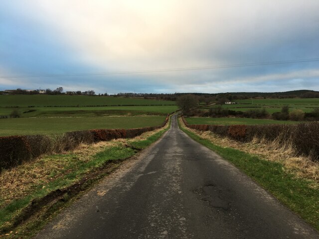
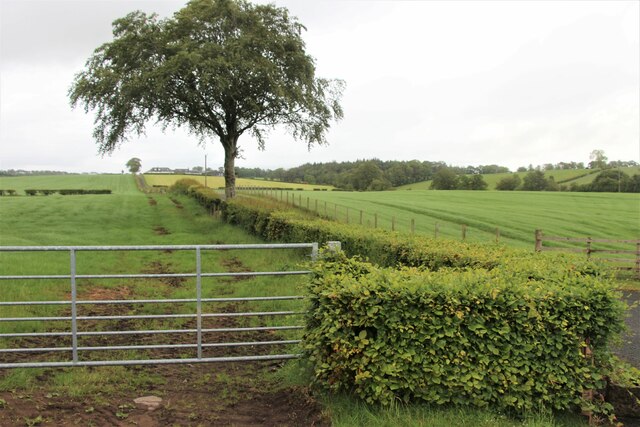
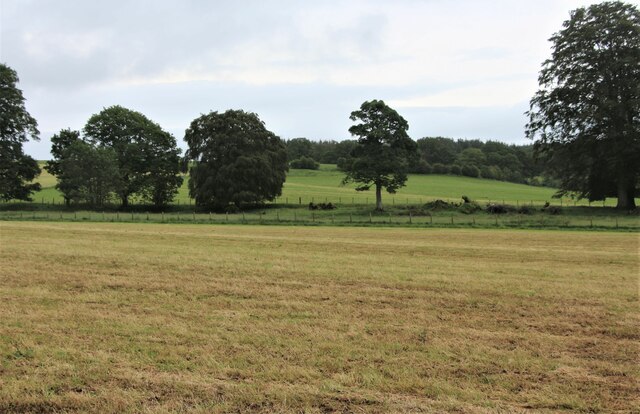
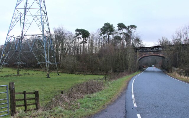
Windiegoat Wood Images
Images are sourced within 2km of 55.495312/-4.4398539 or Grid Reference NS4525. Thanks to Geograph Open Source API. All images are credited.


Windiegoat Wood is located at Grid Ref: NS4525 (Lat: 55.495312, Lng: -4.4398539)
Unitary Authority: East Ayrshire
Police Authority: Ayrshire
What 3 Words
///privately.obstruction.bandaged. Near Tarbolton, South Ayrshire
Nearby Locations
Related Wikis

Water of Fail
The Water of Fail, or River Fail, is a fast-flowing river in South Ayrshire, Scotland. It rises in the hills north of Tarbolton, flowing generally south...

Failford
Failford (Scots: Failfuird) is a hamlet in South Ayrshire, Scotland. It is 4 kilometres (2.5 mi) west of Mauchline, where the Water of Fail flows into...
Tarbolton railway station
Tarbolton railway station (NGR NS440250) was a railway station about a mile and a quarter from the village of Tarbolton that it served, in South Ayrshire...

Loch of Stair
The Loch of Stair was a typical Ayrshire post-glacial 'Kettle Hole', situated in a low-lying area below the farm of Loch Hill, in the Parish of Stair,...
Nearby Amenities
Located within 500m of 55.495312,-4.4398539Have you been to Windiegoat Wood?
Leave your review of Windiegoat Wood below (or comments, questions and feedback).