Craufurdland Loch
Lake, Pool, Pond, Freshwater Marsh in Ayrshire
Scotland
Craufurdland Loch
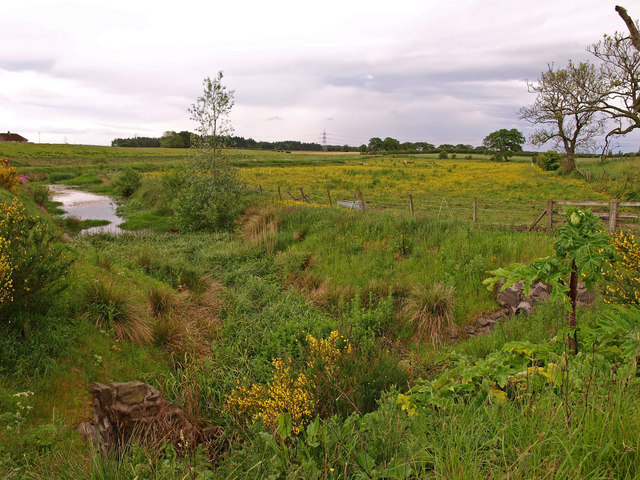
Craufurdland Loch is a picturesque freshwater lake located in Ayrshire, Scotland. Situated within the grounds of Craufurdland Castle, the loch spans an area of approximately 20 acres, making it a relatively small body of water. Despite its size, it is a popular destination for both locals and tourists alike due to its natural beauty and serene atmosphere.
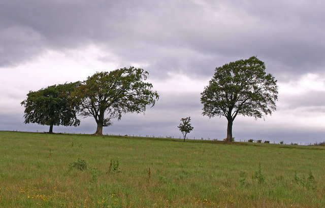
Surrounded by lush greenery and rolling hills, Craufurdland Loch is a haven for wildlife and is teeming with various species of birds, such as swans, ducks, and herons. The tranquil waters of the loch provide a perfect habitat for fish, including brown trout and pike, attracting anglers and fishing enthusiasts.
Visitors can explore the lake by taking leisurely walks along its shores or by renting rowing boats, allowing them to fully immerse themselves in the peaceful surroundings. The stunning views offered by the surrounding landscape make Craufurdland Loch a popular spot for photographers and nature enthusiasts.
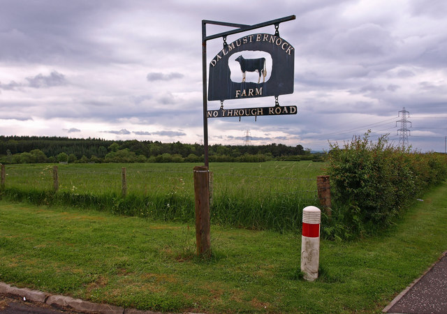
Craufurdland Loch is not only a natural treasure but also holds historical significance. It served as a water source for the nearby Craufurdland Castle, which was built in the 13th century. The castle and its grounds, including the loch, have been owned and managed by the Craufurd family for over 800 years, adding to the site's rich heritage.
Overall, Craufurdland Loch is a hidden gem in Ayrshire, offering visitors a chance to escape the hustle and bustle of everyday life and embrace the tranquility of nature.
If you have any feedback on the listing, please let us know in the comments section below.
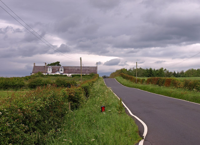
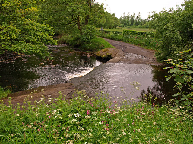
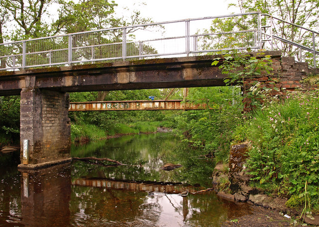
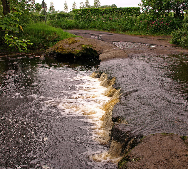
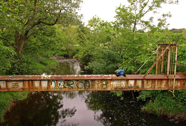
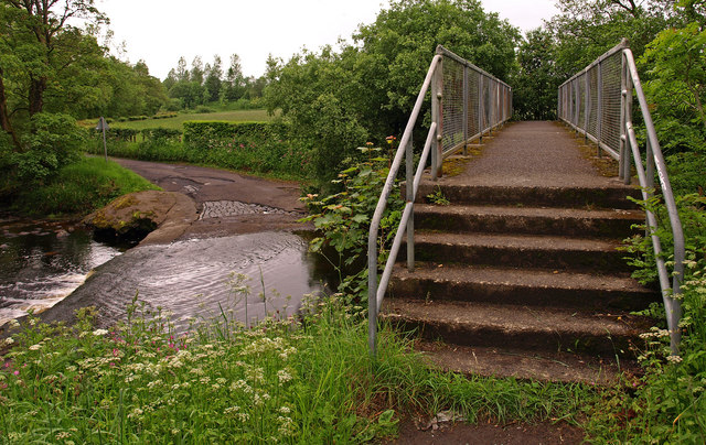
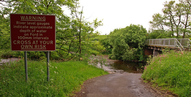
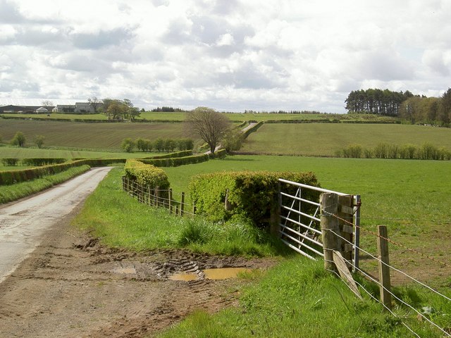
Craufurdland Loch Images
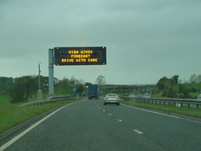
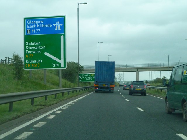
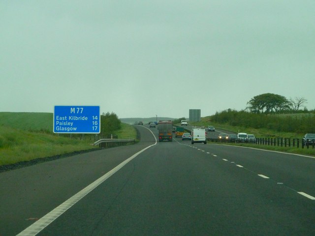
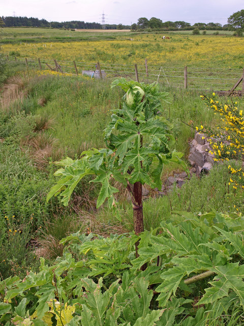
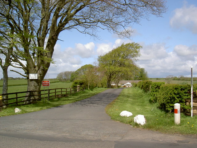
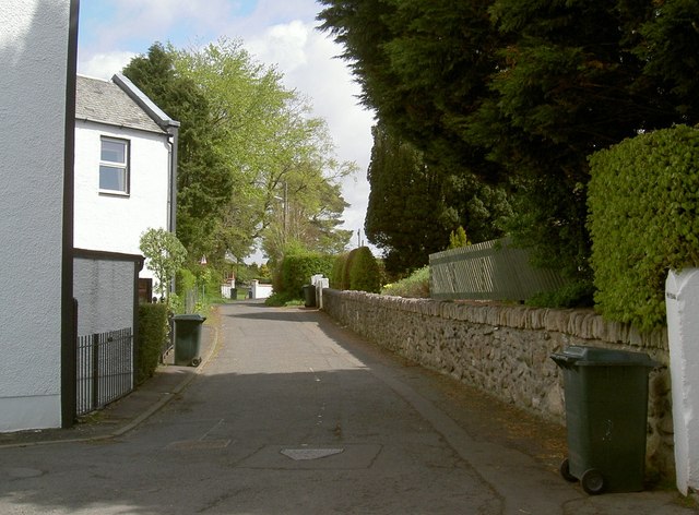
Images are sourced within 2km of 55.641436/-4.4510324 or Grid Reference NS4541. Thanks to Geograph Open Source API. All images are credited.
Craufurdland Loch is located at Grid Ref: NS4541 (Lat: 55.641436, Lng: -4.4510324)
Unitary Authority: East Ayrshire
Police Authority: Ayrshire
What 3 Words
///biggest.unsightly.marzipan. Near Fenwick, East Ayrshire
Related Wikis
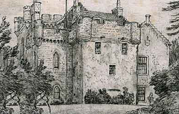
Craufurdland Castle
Craufurdland Castle is a rebuilt tower house, originating in the 16th century, about 2.5 miles (4.0 km) north east of Kilmarnock, East Ayrshire, Scotland...

Fenwick, East Ayrshire
Fenwick is a village in East Ayrshire, Scotland. In 2019, its population was estimated to be 989. Fenwick is the terminus of the M77 following its extension...

Rowallan Castle
Rowallan Castle (Scottish Gaelic: Caisteal an Rubha Àlainn) is an ancient castle located in Scotland. The castle stands on the banks of the Carmel Water...
Silverwood, Ayrshire
Silverwood in the Parish of Kilmarnock lies in East Ayrshire, Scotland. This was once a small estate with a mansion house; it is now a farm. The plantation...
Nearby Amenities
Located within 500m of 55.641436,-4.4510324Have you been to Craufurdland Loch?
Leave your review of Craufurdland Loch below (or comments, questions and feedback).