Outon Plantation

Wood, Forest in Wigtownshire

Scotland

Outon Plantation

On Gallow Hill View over Wigtown Bay. As well as the arable land here, there are grazed fields with lots of rock outcrops.
On Gallow Hill Credit: Richard Webb

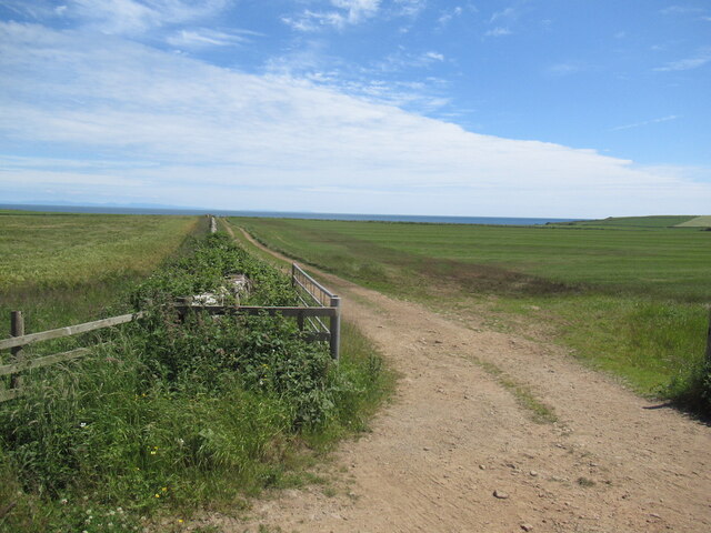
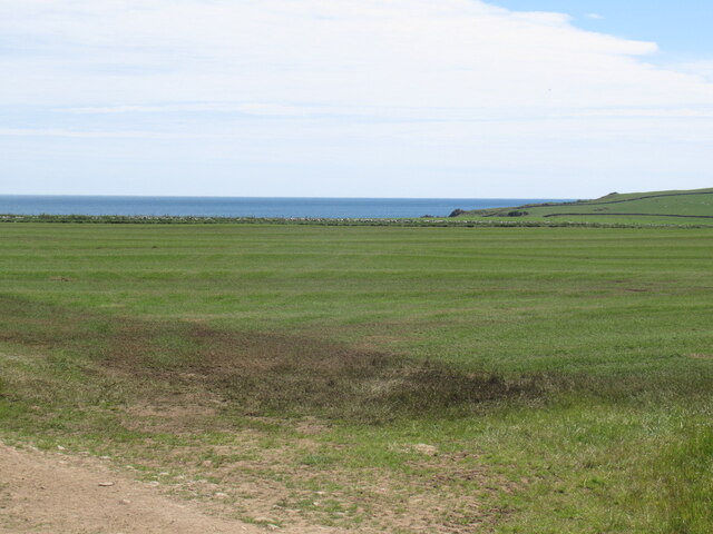
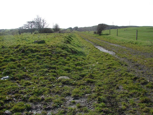
Outon Plantation is a picturesque woodland estate located in Wigtownshire, Scotland. Spread over a vast area, it is known for its dense forests and abundant wildlife. The plantation is situated amidst a serene landscape, offering breathtaking views of rolling hills and meandering streams.

The woodland of Outon Plantation is primarily composed of various species of trees, including oak, beech, and pine. These towering trees create a lush canopy, providing a haven for numerous bird species and other woodland creatures. The forest floor is adorned with a rich carpet of moss and ferns, adding to the enchanting ambiance.

The plantation is a popular destination for nature lovers and outdoor enthusiasts. There are several well-maintained walking trails that meander through the woods, allowing visitors to explore the beauty of the estate at their own pace. The trails are also suitable for cycling and horse riding, providing options for different types of outdoor activities.

Outon Plantation is also home to a diverse range of wildlife. Red squirrels can be spotted darting among the treetops, while deer can often be seen grazing in the open meadows. Birdwatchers can indulge in observing various species, including woodpeckers, owls, and pheasants.

In addition to its natural beauty, Outon Plantation has historical significance. The estate has a long-standing legacy that dates back several centuries, and remnants of old structures and ruins can still be found within the woodland. These historical relics add an element of intrigue and curiosity to the plantation, attracting history enthusiasts as well.

Overall, Outon Plantation is a captivating destination, offering a perfect blend of natural beauty, recreational activities, and historical charm. It serves as a serene retreat for those seeking solace in nature and an insight into the region's rich heritage.

If you have any feedback on the listing, please let us know in the comments section below.

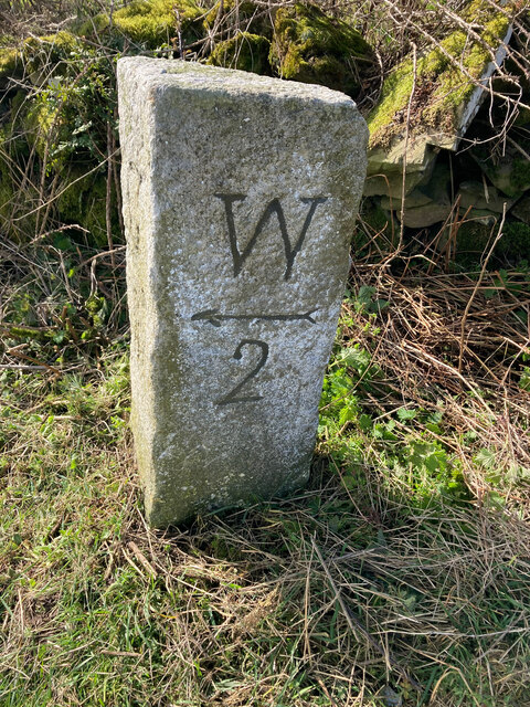
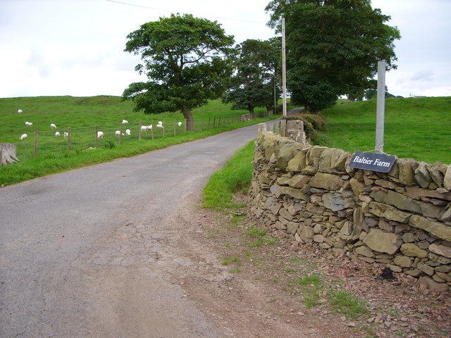
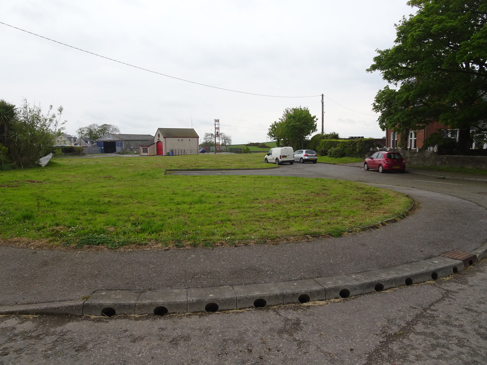
Outon Plantation Images

Images are sourced within 2km of 54.751409/-4.3993199 or Grid Reference NX4542. Thanks to Geograph Open Source API. All images are credited.

On Gallow Hill View over Wigtown Bay. As well as the arable land here, there are grazed fields with lots of rock outcrops.
On Gallow Hill
View over Wigtown Bay. As well as the arable land here, there are grazed fields with lots of rock outcrops.
Summit area, Gallow Hill A hill with rock outcrops, a contrast to the drumlins that are common here.
Summit area, Gallow Hill
A hill with rock outcrops, a contrast to the drumlins that are common here.
West side of Gallow Hill
Near Palmallet A track heading for the sea.
Near Palmallet
A track heading for the sea.
Machars arable Field near Palmallet.
Machars arable
Field near Palmallet.
Old milestone The W on the old Wigtownshire milestones may be for Wigtown or Whithorn.  This stone is 1 mile north of Whithorn.
Old milestone
The W on the old Wigtownshire milestones may be for Wigtown or Whithorn. This stone is 1 mile north of Whithorn.
Old milestone The G on the old Wigtownshire milestones can be for Garlieston or Glen Luce.   This stone with surrounding vegetation cleared by a Milestone Society member points to Garlieston.
Old milestone
The G on the old Wigtownshire milestones can be for Garlieston or Glen Luce. This stone with surrounding vegetation cleared by a Milestone Society member points to Garlieston.
Old milestone G for Garlieston, 3 miles northeast of Whithorn near a Bends sign on the B7004.   Vegetation cleared by a Milestone Society member.
Old milestone
G for Garlieston, 3 miles northeast of Whithorn near a Bends sign on the B7004. Vegetation cleared by a Milestone Society member.
Old milestone W for Whithorn on this stone on the western verge of the B7004 just south of the Bends sign.
Old milestone
W for Whithorn on this stone on the western verge of the B7004 just south of the Bends sign.
Old milestone Although now part of Dumfries and Galloway administrative region, this stone is in the old Wigtownshire.   Cleared of nettles and other enveloping vegetation by a Milestone Society member, the mileage to Garlieston is clearly incised with a faint arrow pointing to the right.
Old milestone
Although now part of Dumfries and Galloway administrative region, this stone is in the old Wigtownshire. Cleared of nettles and other enveloping vegetation by a Milestone Society member, the mileage to Garlieston is clearly incised with a faint arrow pointing to the right.
Old milestone Now cleared of vegetation the full height and the Whithorn face of this stone can be seen with the remnants of black paint in the inscriptions.  It is near a double iron metal field gate.   The Whithorn 4/Garliestone 1 milestone was not found in 2008.
Old milestone
Now cleared of vegetation the full height and the Whithorn face of this stone can be seen with the remnants of black paint in the inscriptions. It is near a double iron metal field gate. The Whithorn 4/Garliestone 1 milestone was not found in 2008.
Old milestone On the 11 miles between Wigtown and Whithorn 9 milestones are still in place with just Wigtown 2 and 6 missing.   This most southerly one is on the outskirts of Whithorn nearly opposite the town sign.
Old milestone
On the 11 miles between Wigtown and Whithorn 9 milestones are still in place with just Wigtown 2 and 6 missing. This most southerly one is on the outskirts of Whithorn nearly opposite the town sign.
Old milestone On the top of the banking.  Someone cared enough to plant the daffodils.   They brighten a dull Spring day.
Old milestone
On the top of the banking. Someone cared enough to plant the daffodils. They brighten a dull Spring day.
Farming Diversification This local farmer seems to have got the wrong idea about yurts, he has gone into multi-family glamping! He has already tried nuclear energy, you can see the fast breeder reactor he bought cheaply from Dounreay.

On a more serious note, however, I believe this is a slurry processor that will (theoretically) produce electricity from cow poo.
Farming Diversification
This local farmer seems to have got the wrong idea about yurts, he has gone into multi-family glamping! He has already tried nuclear energy, you can see the fast breeder reactor he bought cheaply from Dounreay. On a more serious note, however, I believe this is a slurry processor that will (theoretically) produce electricity from cow poo.
Cruggleton old church
Horses in a field at Cults Farm
Baltier Farm Road
Baltier Farm Road
Minor Road at Broughton Skeog
Show me another place!

Outon Plantation is located at Grid Ref: NX4542 (Lat: 54.751409, Lng: -4.3993199)

Unitary Authority: Dumfries and Galloway

Police Authority: Dumfries and Galloway

What 3 Words

///acquaint.squad.intrigued. Near Whithorn, Dumfries & Galloway

Related Wikis

Whithorn railway station

Whithorn is the closed terminus of the Wigtownshire Railway branch, from Newton Stewart, of the Portpatrick and Wigtownshire Joint Railway. It served...

Broughton Skeog railway station

Broughton Skeog (NX4554444071) was a railway station that was located near level crossing gates over a minor road on the Wigtownshire Railway branch line...

Whithorn

Whithorn (Scots pronunciation: [ˈʍɪthorn], Taigh Mhàrtainn in modern Gaelic), is a royal burgh in the historic county of Wigtownshire in Dumfries and Galloway...

Whithorn Priory

Whithorn Priory was a medieval Scottish monastery that also served as a cathedral, located at 6 Bruce Street in Whithorn, Wigtownshire, Dumfries and Galloway...

Have you been to Outon Plantation?

Leave your review of Outon Plantation below (or comments, questions and feedback).