Turnberry Wood

Wood, Forest in Ayrshire

Scotland

Turnberry Wood

Turnberry Lighthouse and castle ruins Viewed on a lovely late-January afternoon. Turnberry Castle, shown on both sides of the lighthouse, is the birth-place of Robert the Bruce.
Turnberry Lighthouse and castle ruins Credit: Mary and Angus Hogg

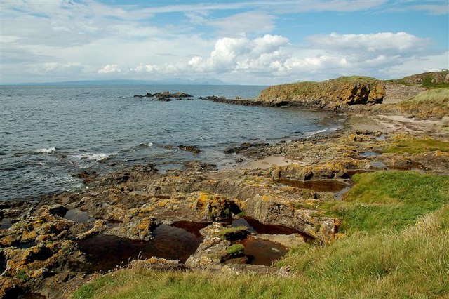
Turnberry Wood is a picturesque forest located in Ayrshire, a historic county in southwest Scotland. Covering an area of approximately 100 hectares, the wood is nestled on the western coast of Scotland, overlooking the Firth of Clyde. It is situated near the charming coastal village of Turnberry, renowned for its world-class golf courses and stunning landscapes.

The wood is predominantly composed of native tree species, including oak, birch, ash, and rowan, which create a diverse and vibrant ecosystem. The dense canopy provides a haven for various bird species, such as woodpeckers, thrushes, and finches, making it a popular spot for birdwatchers.

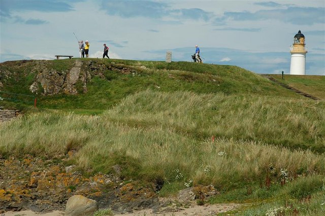
Visitors to Turnberry Wood can explore its network of well-maintained trails that wind through the enchanting woodland. These paths offer opportunities for leisurely walks, jogging, or even cycling, allowing individuals to immerse themselves in the natural beauty of the area. The wood also features several picnic areas, inviting visitors to relax and enjoy a meal amidst the peaceful surroundings.

In addition to its natural charm, Turnberry Wood holds historical significance. It is believed to have been part of the hunting grounds for the nearby Turnberry Castle, a medieval fortress dating back to the 13th century. The wood's rich history adds an element of intrigue to the already captivating landscape.

Overall, Turnberry Wood offers a tranquil and scenic retreat for nature enthusiasts, history buffs, and those seeking an escape from the hustle and bustle of everyday life. Its combination of breathtaking views, diverse flora and fauna, and recreational opportunities make it a must-visit destination in Ayrshire.

If you have any feedback on the listing, please let us know in the comments section below.

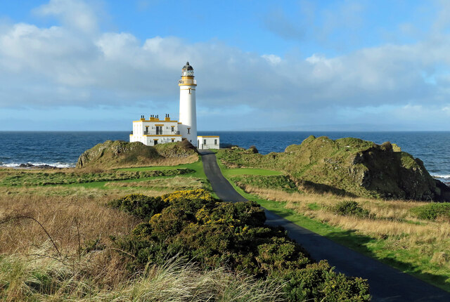
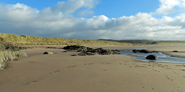
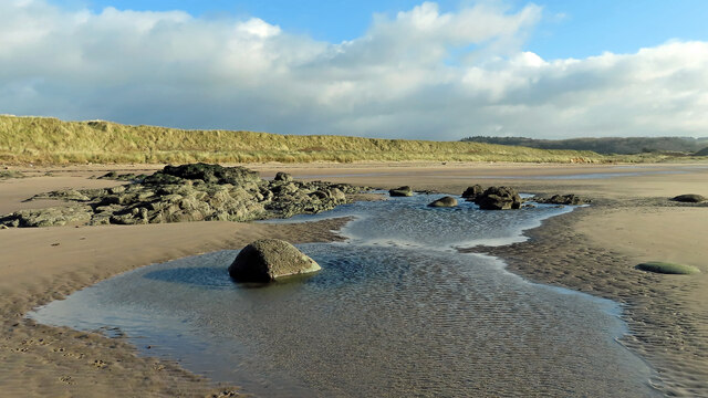
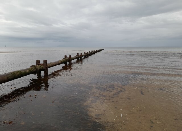
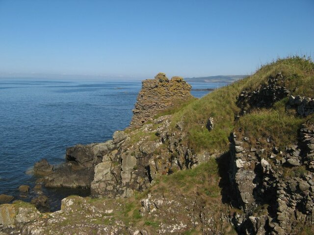
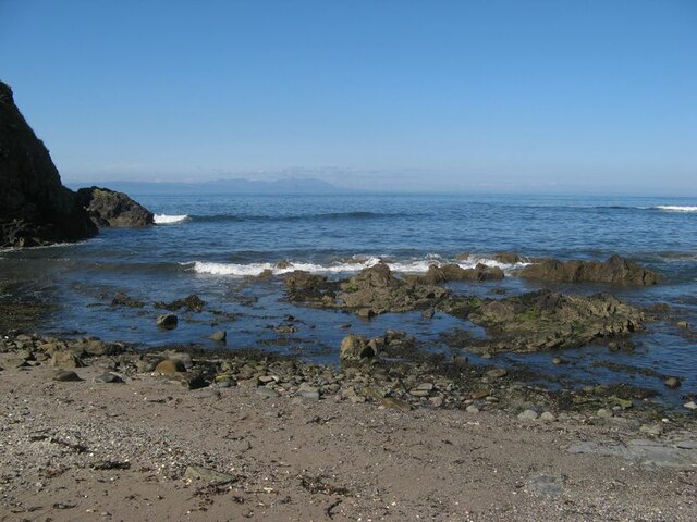
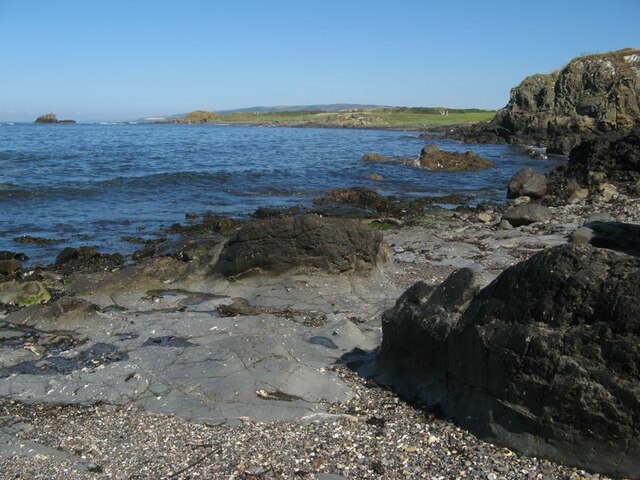
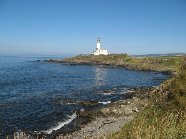
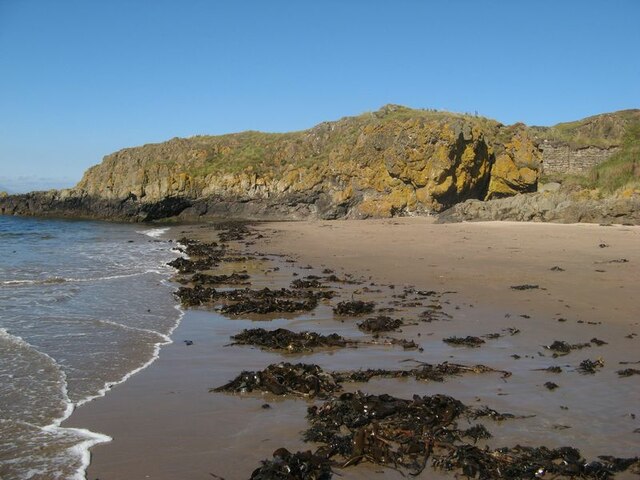
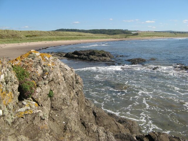
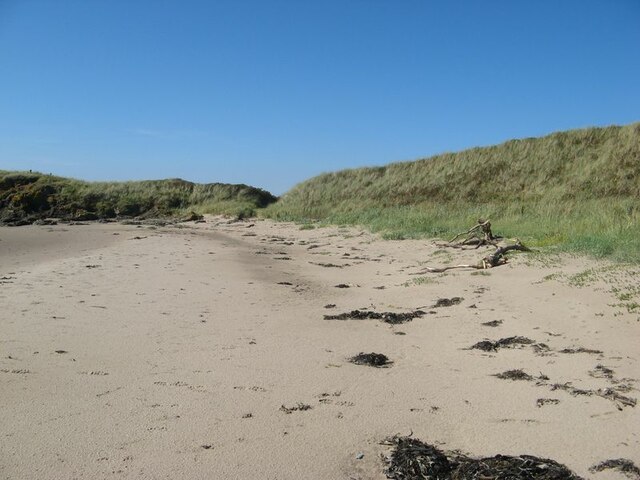
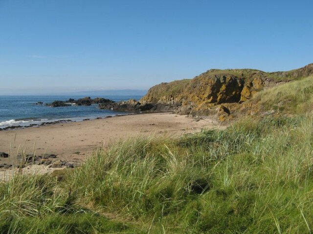
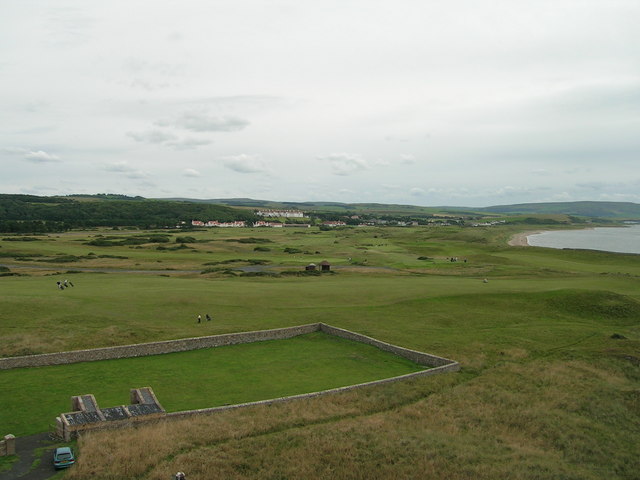
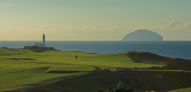
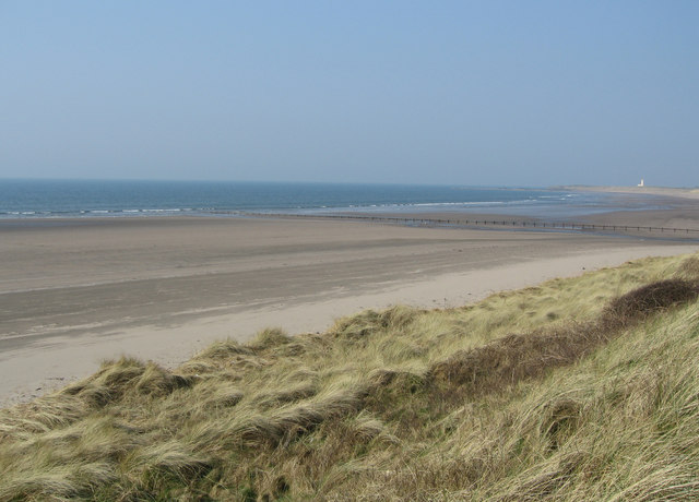
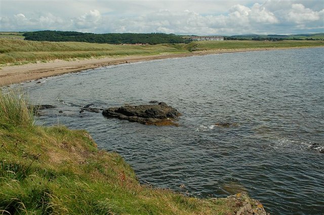
Turnberry Wood Images

Images are sourced within 2km of 55.320901/-4.8172826 or Grid Reference NS2106. Thanks to Geograph Open Source API. All images are credited.

Turnberry Lighthouse and castle ruins Viewed on a lovely late-January afternoon. Turnberry Castle, shown on both sides of the lighthouse, is the birth-place of Robert the Bruce.
Turnberry Lighthouse and castle ruins
Viewed on a lovely late-January afternoon. Turnberry Castle, shown on both sides of the lighthouse, is the birth-place of Robert the Bruce.
Turnberry Bay view The northern end of Turnberry Bay viewed with the tide well out on a lovely late-January afternoon.
Turnberry Bay view
The northern end of Turnberry Bay viewed with the tide well out on a lovely late-January afternoon.
Low tide at Turnberry Bay The tide reveals a large expanse of firm sand and wide empty spaces. The Ayrshire Coastal Path follows the shoreline here before crossing the golf course a little further north.
Low tide at Turnberry Bay
The tide reveals a large expanse of firm sand and wide empty spaces. The Ayrshire Coastal Path follows the shoreline here before crossing the golf course a little further north.
Old sewage outfall pipe, Turnberry Old sewage outfall pipe, Turnberry.
Old sewage outfall pipe, Turnberry
Old sewage outfall pipe, Turnberry.
Turnberry Castle headland The ruins of the castle situated upon a headland comprising two generations of basaltic rock - the Devonian Carrick Volcanic Formation, which is also intruded by a Palaeogene dyke. Altogether, this is a fine site for a defensive structure with good visibility from the sea, and for the subsequent lighthouse.
Turnberry Castle headland
The ruins of the castle situated upon a headland comprising two generations of basaltic rock - the Devonian Carrick Volcanic Formation, which is also intruded by a Palaeogene dyke. Altogether, this is a fine site for a defensive structure with good visibility from the sea, and for the subsequent lighthouse.
View from Castle Port Castle Port is a small inlet to the east of Turnberry Castle, which is situated on top of crags seen to rise from the sea at the left of the image. A fine view of Arran is seen on the distant horizon.
View from Castle Port
Castle Port is a small inlet to the east of Turnberry Castle, which is situated on top of crags seen to rise from the sea at the left of the image. A fine view of Arran is seen on the distant horizon.
View to Cross Ports The rocky summit of Turnberry Point drops to a gentle shore with the even grass of the golf course. In the distance the rocky shore starts again in the area called Cross Ports, which also has an offshore stack clearly seen in the image.
View to Cross Ports
The rocky summit of Turnberry Point drops to a gentle shore with the even grass of the golf course. In the distance the rocky shore starts again in the area called Cross Ports, which also has an offshore stack clearly seen in the image.
Turnberry Lighthouse Seen from the north side of Turnberry Point.
Turnberry Lighthouse
Seen from the north side of Turnberry Point.
Turnberry Point Turnberry Point seen across Lochan Port with a notable landing of kelp ripped up by recent rough weather.
Turnberry Point
Turnberry Point seen across Lochan Port with a notable landing of kelp ripped up by recent rough weather.
Turnberry Bay The wide sweep of the fine bay with its dunes which drop down to admit a small burn to drain through to the sea.
Turnberry Bay
The wide sweep of the fine bay with its dunes which drop down to admit a small burn to drain through to the sea.
Sand dunes A fine stretch of sand with cast-up trees and seaweed in front of the dunes.
Sand dunes
A fine stretch of sand with cast-up trees and seaweed in front of the dunes.
Turnberry Point Looking from the dunes over Lochan Port to the lichen-encrusted rocks of Turnberry Point.
Turnberry Point
Looking from the dunes over Lochan Port to the lichen-encrusted rocks of Turnberry Point.
Turnberry Golf Course Turnberry Hotel and the Championship 'Ailsa' golf course, one of the three courses at Turnberry. The walled area is part of the Lighthouse property.
Turnberry Golf Course
Turnberry Hotel and the Championship 'Ailsa' golf course, one of the three courses at Turnberry. The walled area is part of the Lighthouse property.
Turnberry  Golf Course, Lighthouse and Ailsa Craig Facing South West
Turnberry Golf Course, Lighthouse and Ailsa Craig
Facing South West
Turnberry Dunes Turnberry lighthouse in the distance. Milton Burn outflow in middle distance.
Turnberry Dunes
Turnberry lighthouse in the distance. Milton Burn outflow in middle distance.
Turnberry Bay Viewed from Turnberry Point, with Turnberry Hotel <a href="https://www.geograph.org.uk/gridref/NS2005">NS2005</a> in the background. For a winter view, see <a href="https://www.geograph.org.uk/photo/5273413">NS1906 : Turnberry Bay</a>
Turnberry Bay
Viewed from Turnberry Point, with Turnberry Hotel NS2005 in the background. For a winter view, see NS1906 : Turnberry Bay
From Turnberry Point Looking across the Firth of Clyde towards Arran.
From Turnberry Point
Looking across the Firth of Clyde towards Arran.
Turnberry golfers Viewed from Turnberry Point.  Turnberry Lighthouse <a href="https://www.geograph.org.uk/gridref/NS1907">NS1907</a> is in the background.
Turnberry golfers
Viewed from Turnberry Point. Turnberry Lighthouse NS1907 is in the background.
Show me another place!

Turnberry Wood is located at Grid Ref: NS2106 (Lat: 55.320901, Lng: -4.8172826)

Unitary Authority: South Ayrshire

Police Authority: Ayrshire

What 3 Words

///parsnips.mattress.stared. Near Girvan, South Ayrshire

Related Wikis

Battle of Turnberry

The Battle of Turnberry was fought in February 1307 during the Scottish Wars of Independence near Turnberry, Ayrshire, Scotland. King Robert I of Scotland...

RAF Turnberry

RAF Turnberry was an airfield in Scotland used by the Royal Flying Corps (RFC) and the Royal Air Force (RAF) during the First World War, and again by...

1986 Open Championship

The 1986 Open Championship was a men's major golf championship and the 115th Open Championship, held from 17 to 20 July at Turnberry Golf Resort, Scotland...

2002 Women's British Open

The 2002 Women's British Open was held 8–11 August at the Ailsa Course at Turnberry Golf Club in South Ayrshire, Scotland. It was the 26th edition of the...

Nearby Amenities

Located within 500m of 55.320901,-4.8172826
Place: farm
Lat/Long: 55.3218373/-4.8239483
Power: pole
Lat/Long: 55.3165469/-4.8160994
Power: pole
Lat/Long: 55.3169834/-4.8151445
Power: pole
Lat/Long: 55.3174688/-4.8140663
Power: pole
Lat/Long: 55.3179175/-4.8130336
Power: pole
Lat/Long: 55.3183738/-4.812052
Power: pole
Lat/Long: 55.318824/-4.8110408
Power: pole
Lat/Long: 55.319288/-4.8100376
Power: pole
Lat/Long: 55.3173024/-4.8214853
Power: pole
Lat/Long: 55.3179877/-4.8215336
Power: pole
Lat/Long: 55.3185417/-4.8207665
Power: pole
Lat/Long: 55.3190804/-4.8199859
Power: pole
Lat/Long: 55.3196451/-4.8192
Power: pole
Lat/Long: 55.3202236/-4.8183927
Power: pole
Lat/Long: 55.3212094/-4.8169719
Power: pole
Lat/Long: 55.3222838/-4.8155952
Power: pole
Lat/Long: 55.3228469/-4.8149514
Power: pole
Lat/Long: 55.3234329/-4.8142782
Power: pole
Lat/Long: 55.3240082/-4.8136023
Power: pole
Lat/Long: 55.3225081/-4.824417
Power: pole
Lat/Long: 55.322453/-4.8233593
Power: pole
Lat/Long: 55.3218271/-4.820982
Power: pole
Lat/Long: 55.3224893/-4.8202313
Power: pole
Lat/Long: 55.322993/-4.819667
Power: pole
Lat/Long: 55.3235826/-4.8190107
Power: pole
Lat/Long: 55.323682/-4.8189068
Power: pole
Lat/Long: 55.3194428/-4.8120415
Power: pole
Lat/Long: 55.3199264/-4.8128088
Power: pole
Lat/Long: 55.3205161/-4.8138216
Power: pole
Lat/Long: 55.3211017/-4.8147825
Power: pole
Lat/Long: 55.3216578/-4.8156914
Power: pole
Lat/Long: 55.3221494/-4.8165413
Power: pole
Lat/Long: 55.3228143/-4.8175895
Power: pole
Lat/Long: 55.323228/-4.8182316
Power: pole
Lat/Long: 55.3241911/-4.8196552
Power: pole
Lat/Long: 55.3245269/-4.8207979
Power: pole
Lat/Long: 55.3241857/-4.8219122
Power: pole
Lat/Long: 55.3239601/-4.8220939
Power: pole
Lat/Long: 55.3207118/-4.8176891
Power: pole
Lat/Long: 55.3217357/-4.816245
The data included in this document is from www.openstreetmap.org. The data is made available under ODbL.

Have you been to Turnberry Wood?

Leave your review of Turnberry Wood below (or comments, questions and feedback).