Castlewalk Plantation
Wood, Forest in Ayrshire
Scotland
Castlewalk Plantation

Castlewalk Plantation is a picturesque woodland located in Ayrshire, Scotland. Covering an area of approximately 100 acres, this enchanting forest is a haven of natural beauty and tranquility. The plantation is known for its majestic trees, diverse wildlife, and historic castle ruins.
The woodland is primarily composed of native tree species such as oak, beech, and birch, which create a dense canopy that provides shade and shelter for the many creatures that call Castlewalk home. The forest floor is adorned with a rich carpet of moss, ferns, and wildflowers, adding to the area's charm and biodiversity.
One of the main attractions of Castlewalk Plantation is the ruins of the eponymous castle, which dates back to the medieval era. The castle's crumbling walls and turrets stand as a testament to the area's rich history and provide a fascinating glimpse into the past.
Visitors to Castlewalk can enjoy a range of activities, including hiking, birdwatching, and photography. The woodland is home to a wide variety of bird species, including woodpeckers, owls, and songbirds, making it a popular destination for bird enthusiasts.
The plantation is also a haven for wildlife, with red squirrels, deer, and rabbits frequently spotted among the trees. The peaceful atmosphere and abundant flora and fauna make Castlewalk Plantation a perfect escape from the hustle and bustle of everyday life. Whether you're looking for a quiet walk in nature or a chance to explore history, Castlewalk Plantation is a must-visit destination in Ayrshire.
If you have any feedback on the listing, please let us know in the comments section below.
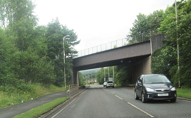
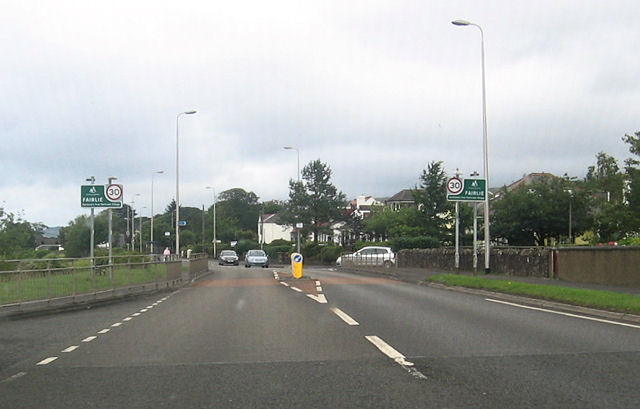
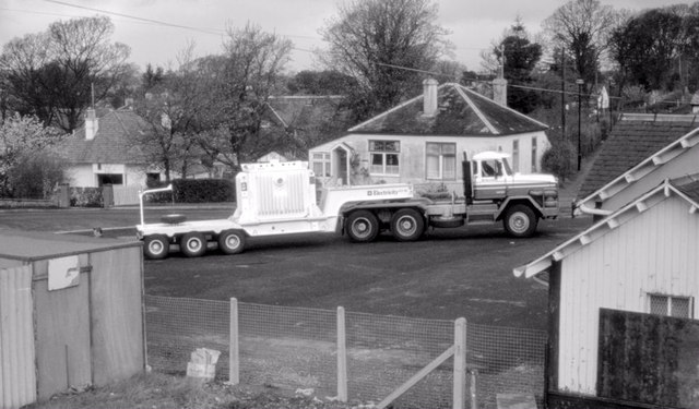
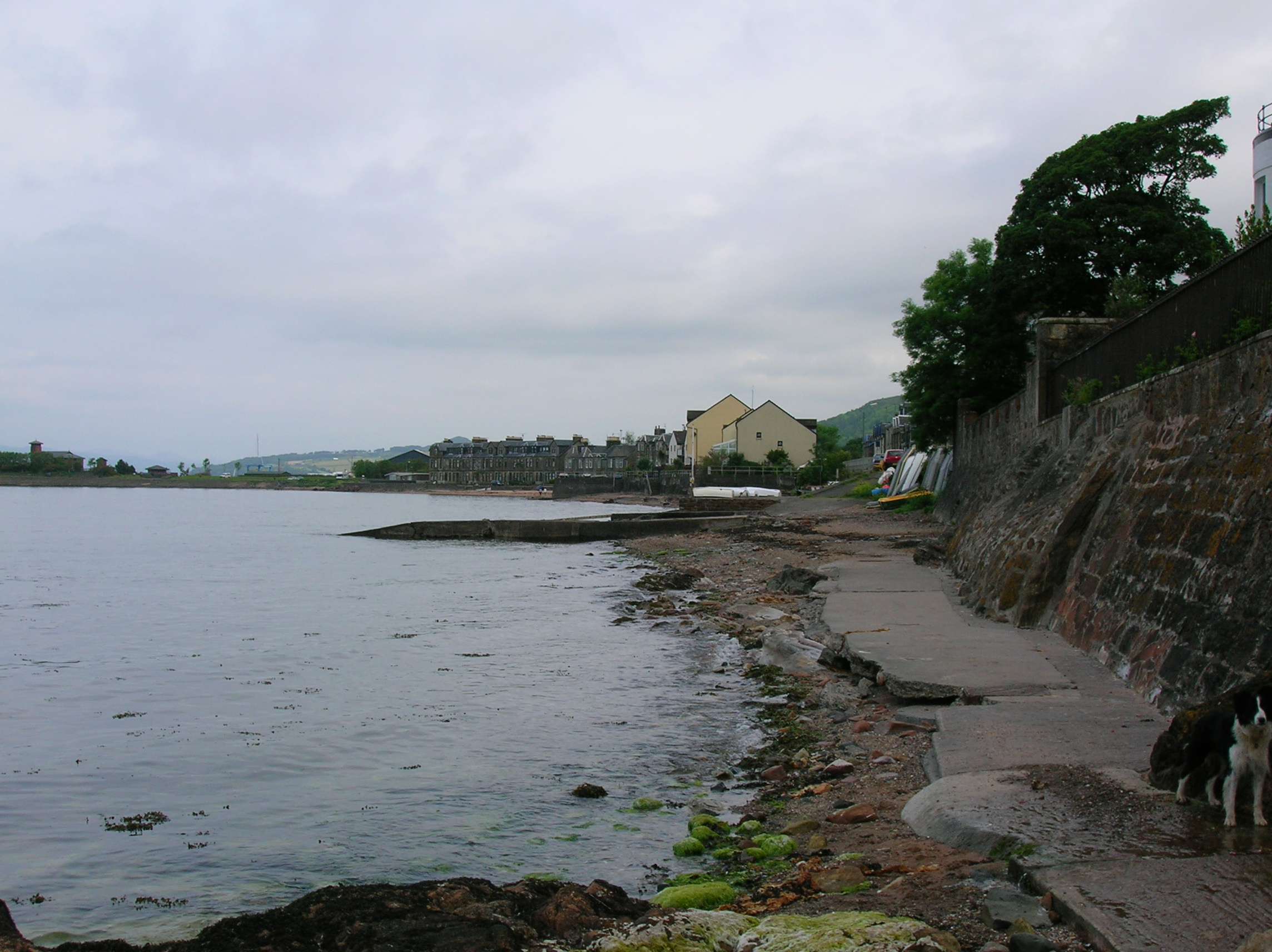
Castlewalk Plantation Images
Images are sourced within 2km of 55.760657/-4.8491534 or Grid Reference NS2155. Thanks to Geograph Open Source API. All images are credited.


Castlewalk Plantation is located at Grid Ref: NS2155 (Lat: 55.760657, Lng: -4.8491534)
Unitary Authority: North Ayrshire
Police Authority: Ayrshire
What 3 Words
///reclined.lions.sensitive. Near Fairlie, North Ayrshire
Nearby Locations
Related Wikis
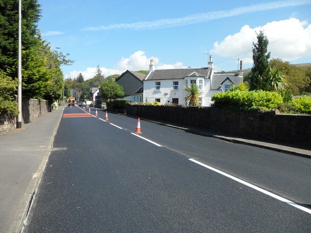
Fairlie, North Ayrshire
Fairlie is a village in North Ayrshire, Scotland. == Location and status == Fairlie sits on the eastern shore of the Firth of Clyde and looks across to...

Fairlie Pier railway station
Fairlie Pier railway station was a railway station serving the village of Fairlie, North Ayrshire, Scotland. The station allowed train passengers to link...
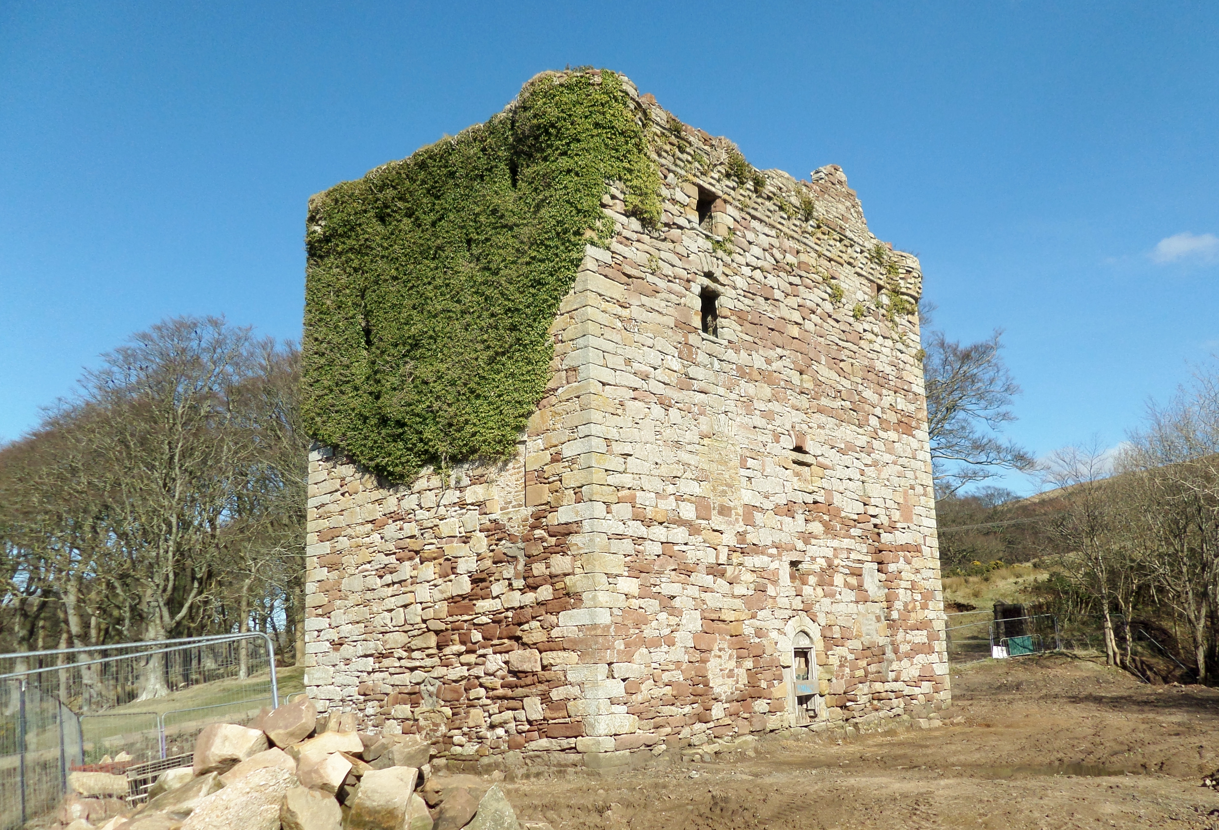
Fairlie Castle
Fairlie Castle is a restored oblong tower castle located on a natural rounded knoll situated above a precipitous section of the Fairlie Glen near the town...

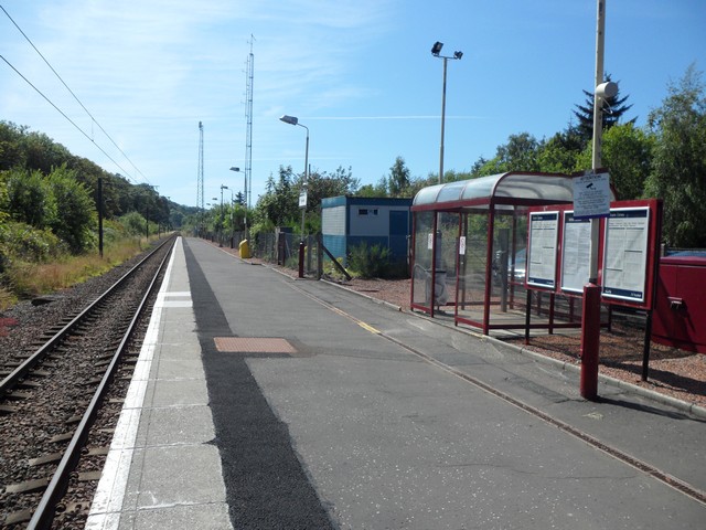
Fairlie railway station
Fairlie railway station serves the village of Fairlie, North Ayrshire, Scotland. The station is managed by ScotRail and is on the Ayrshire Coast Line....

Kelburn Castle
Kelburn Castle is a large house near Fairlie, North Ayrshire, Scotland. It is the seat of the Earl of Glasgow. Originally built in the thirteenth century...
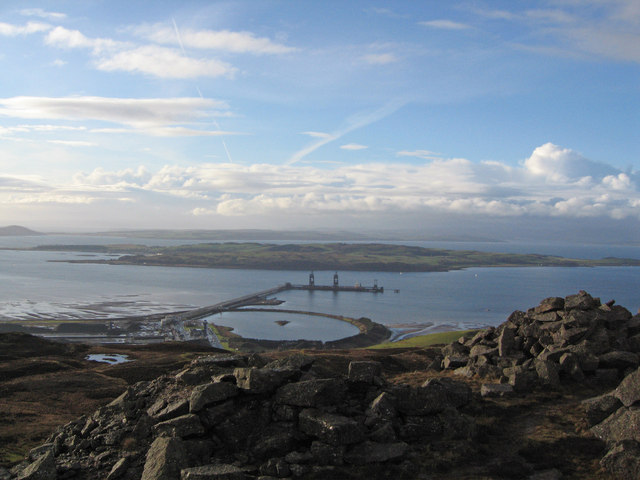
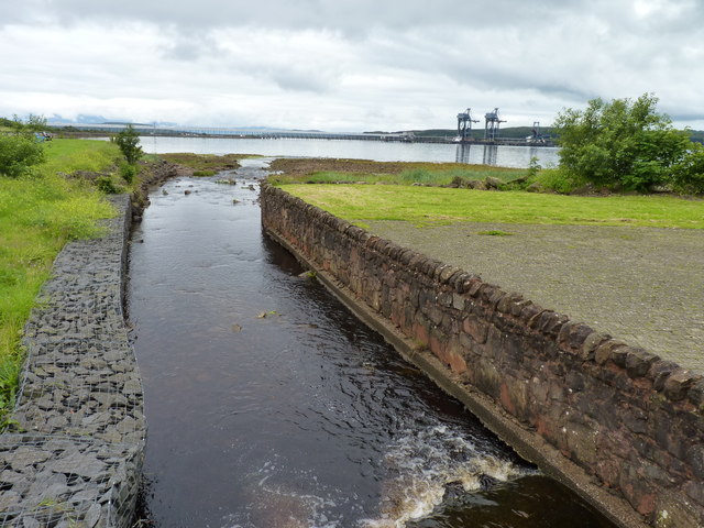
Hunterston Terminal
Hunterston Terminal, in North Ayrshire, Scotland, was an iron ore and coal-handling port located at Fairlie on the Firth of Clyde, operated by Clydeport...

Battle of Largs
The Battle of Largs (2 October 1263) was a battle between the kingdoms of Norway and Scotland, on the Firth of Clyde near Largs, Scotland. The conflict...
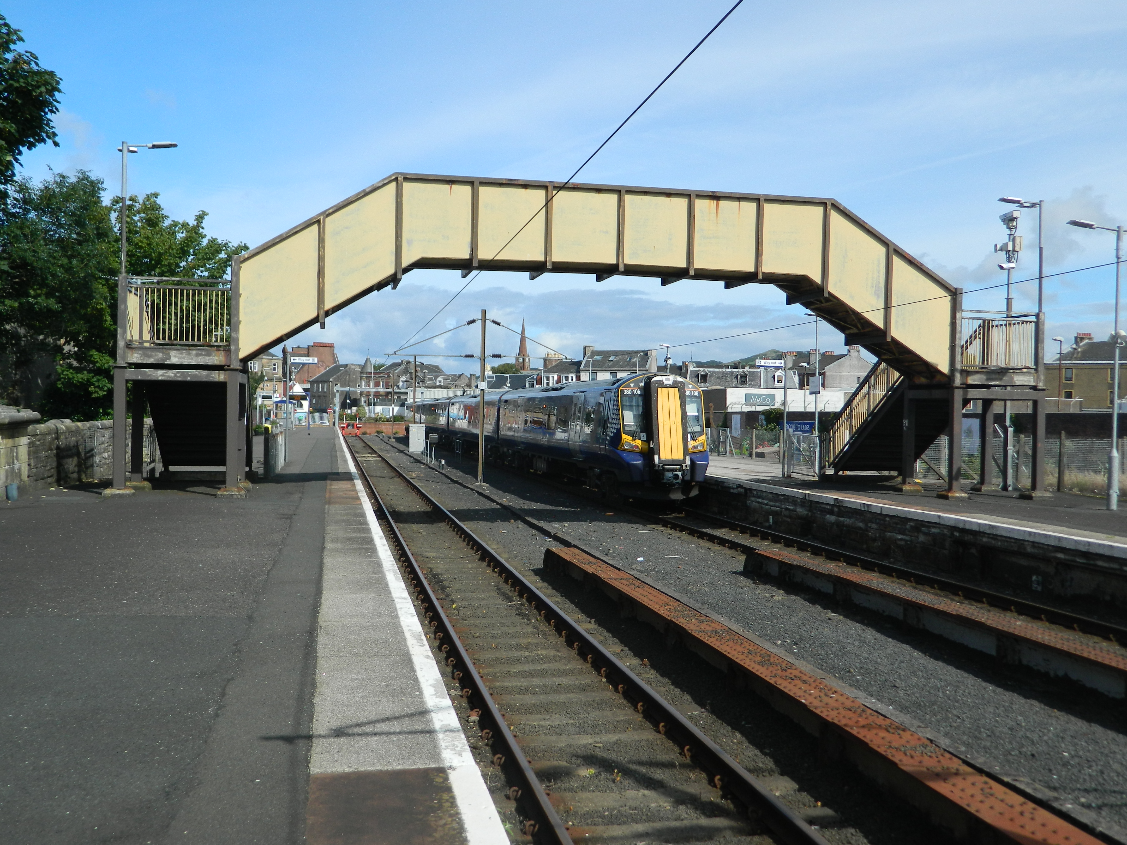
Largs railway station
Largs railway station is a railway station in the town of Largs, North Ayrshire, Scotland. The station is managed by ScotRail and is owned by Network Rail...
Nearby Amenities
Located within 500m of 55.760657,-4.8491534Have you been to Castlewalk Plantation?
Leave your review of Castlewalk Plantation below (or comments, questions and feedback).